Nevada: September 2026
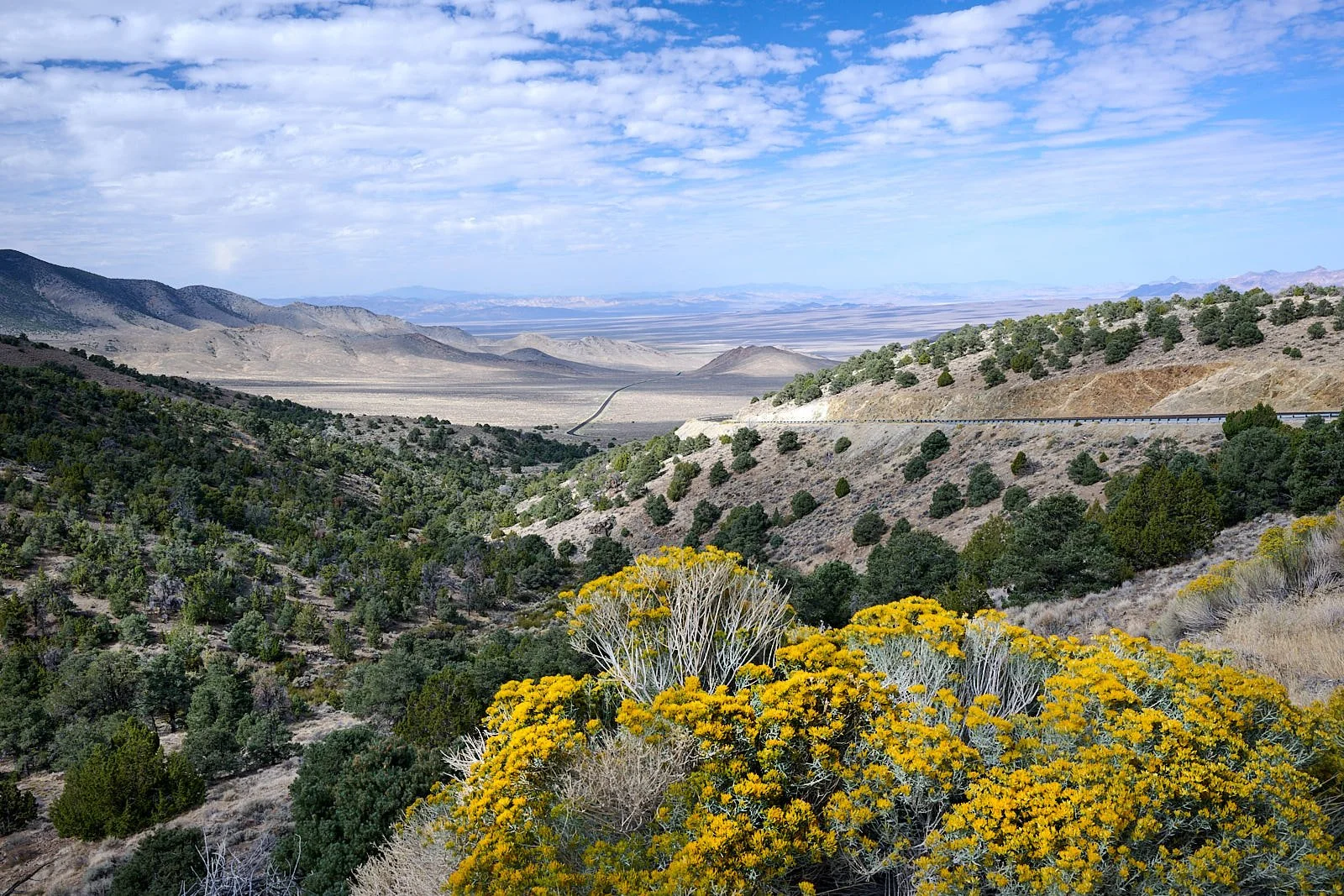
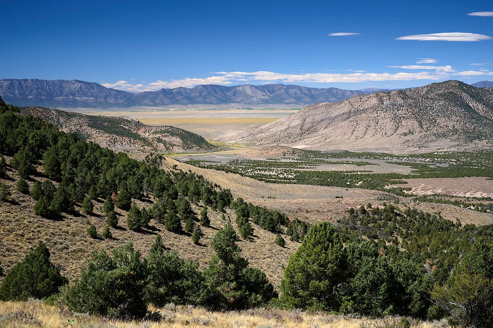
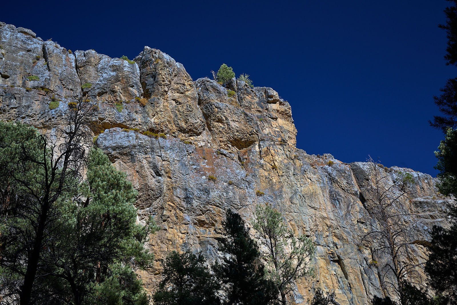
Green Springs summit, Paradise Range; part of the Walker Lake terrane.
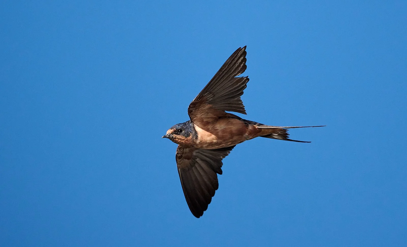
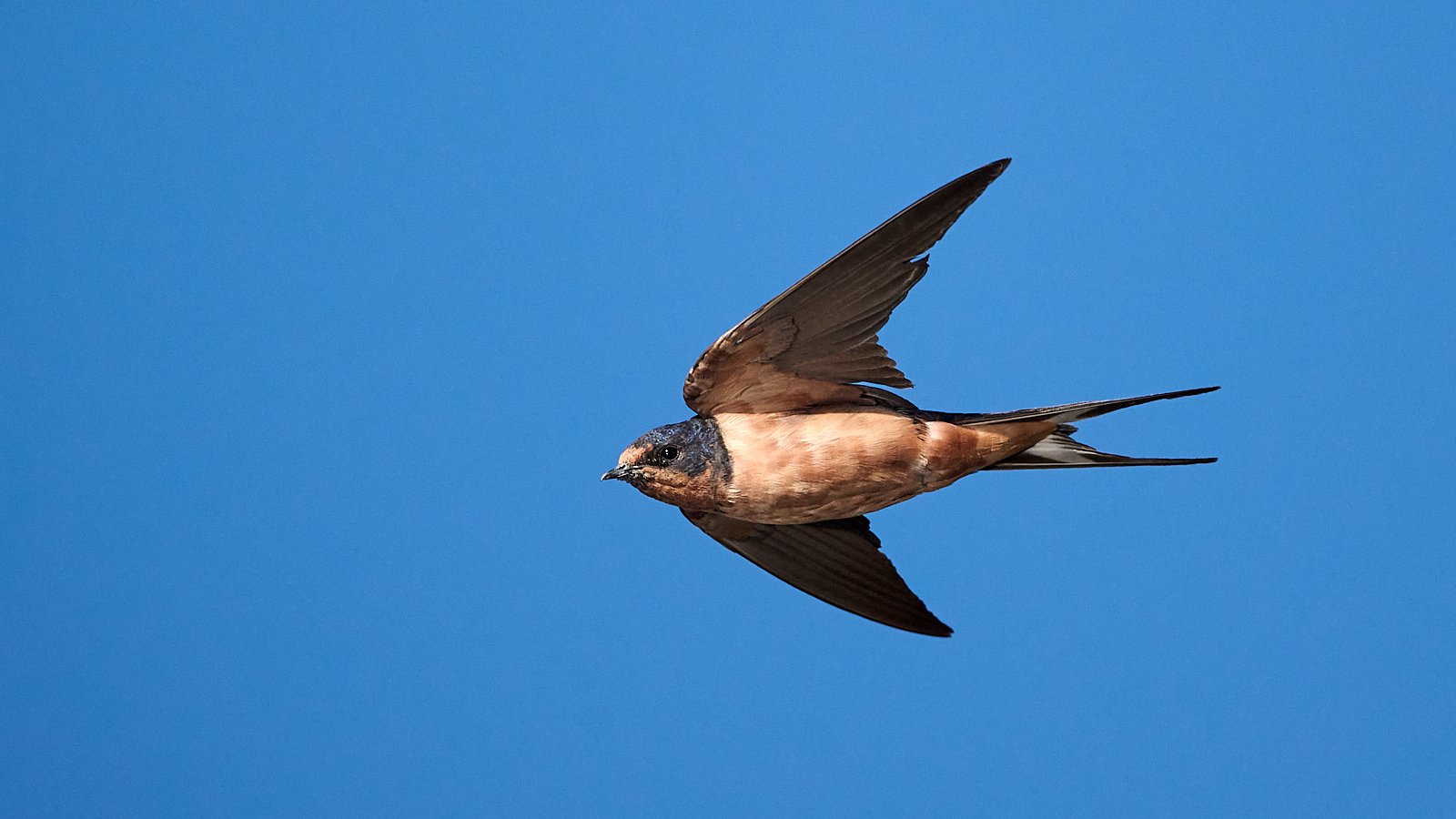
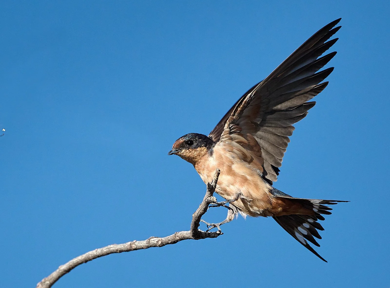
Barn Swallow
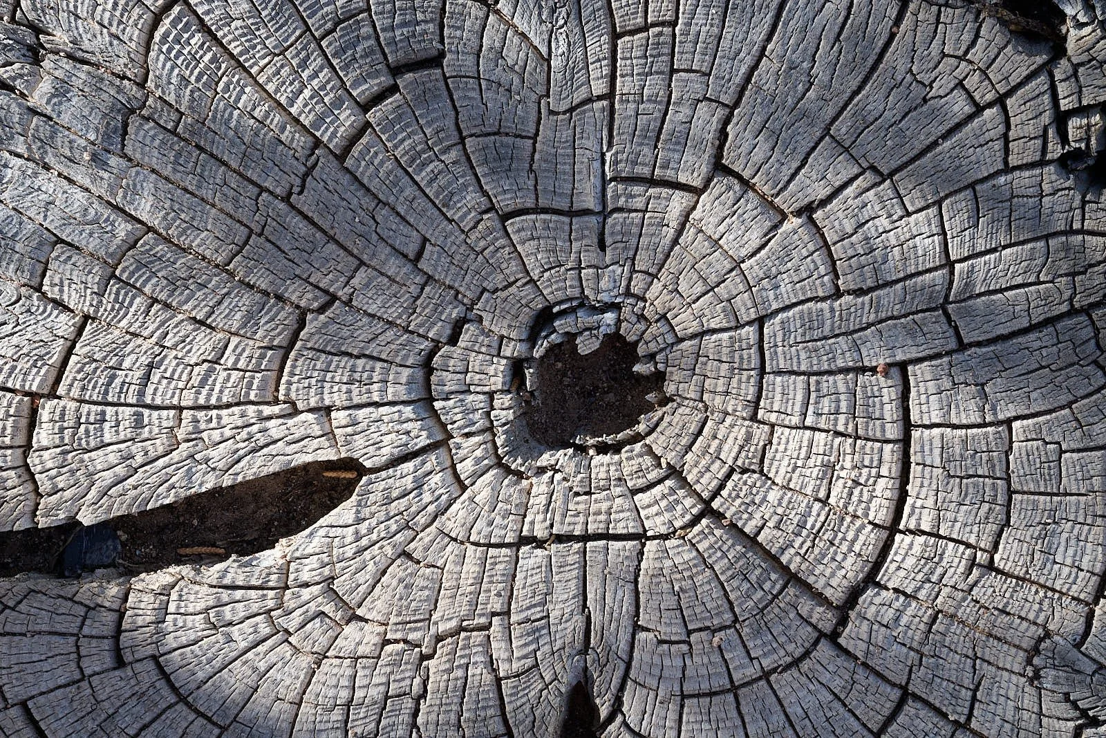
Pinyon pine stump

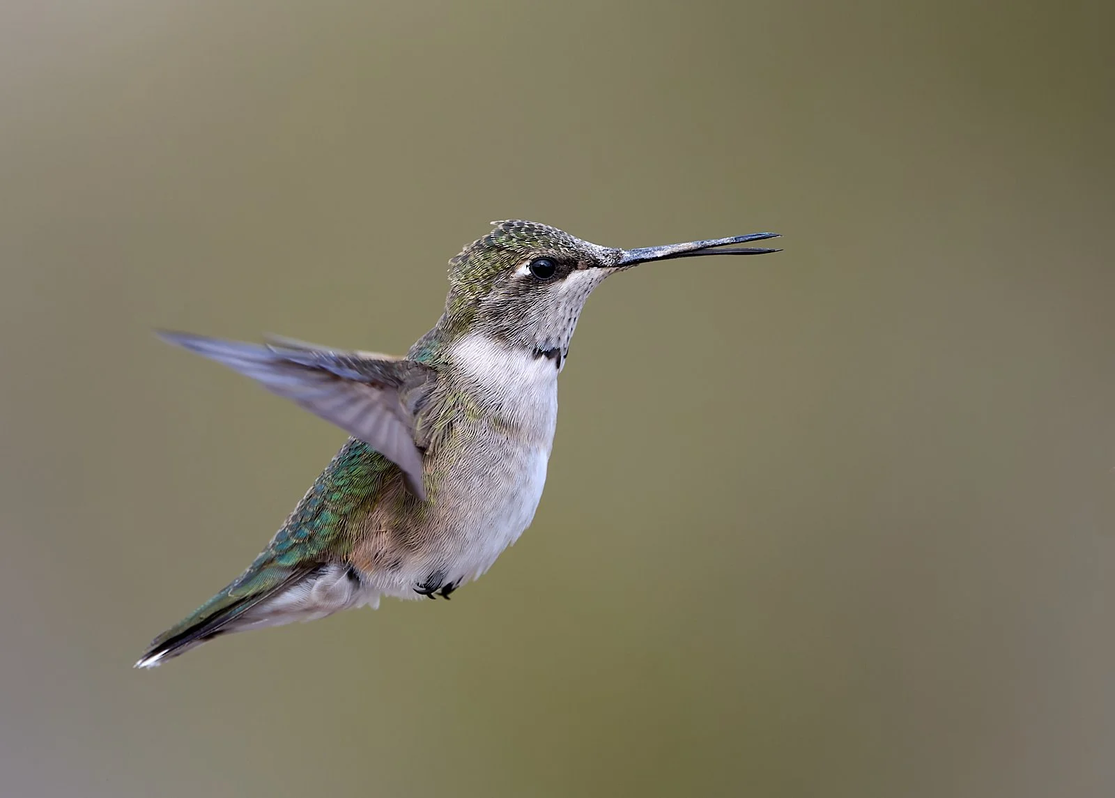
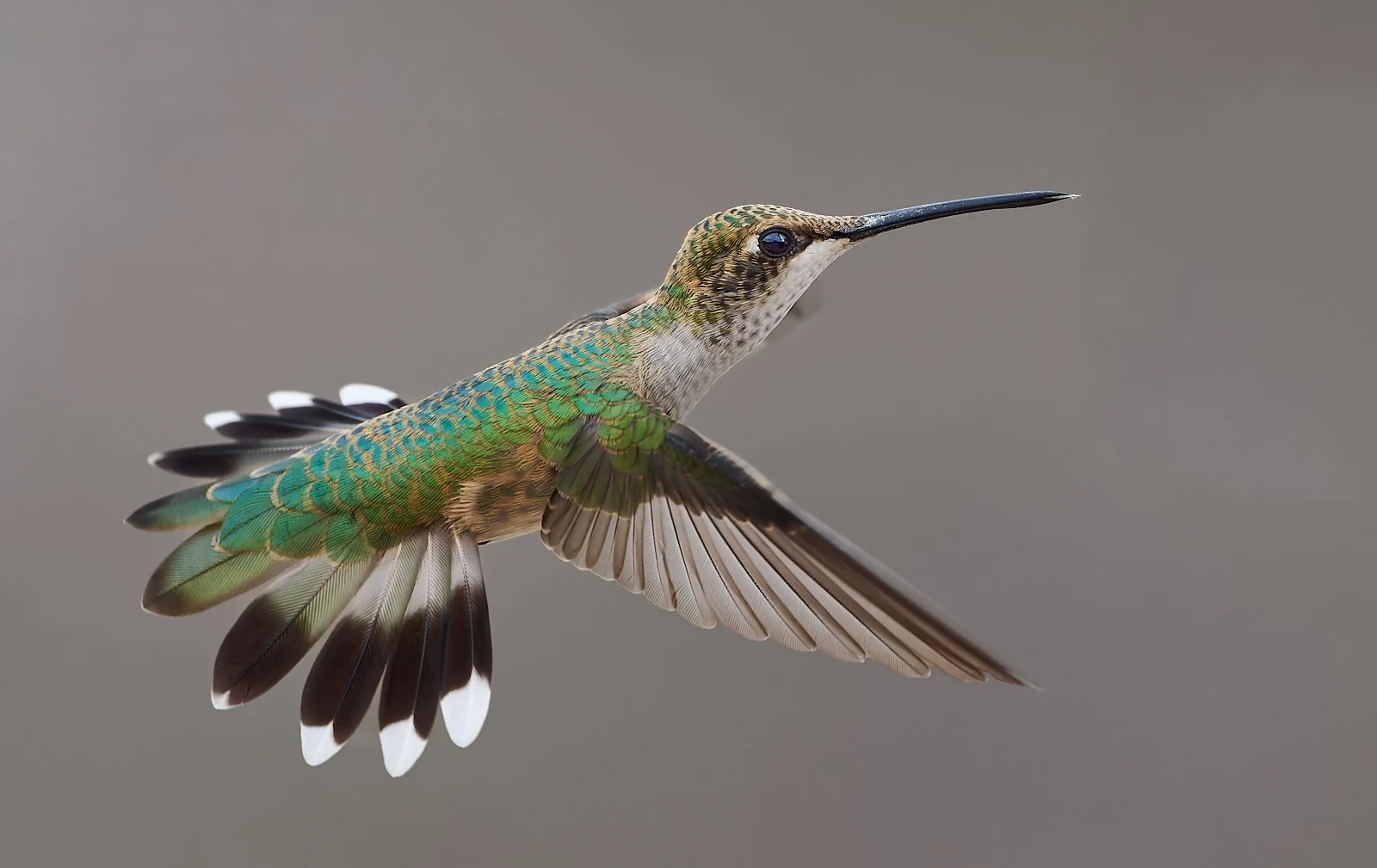
Rufous Hummingbird

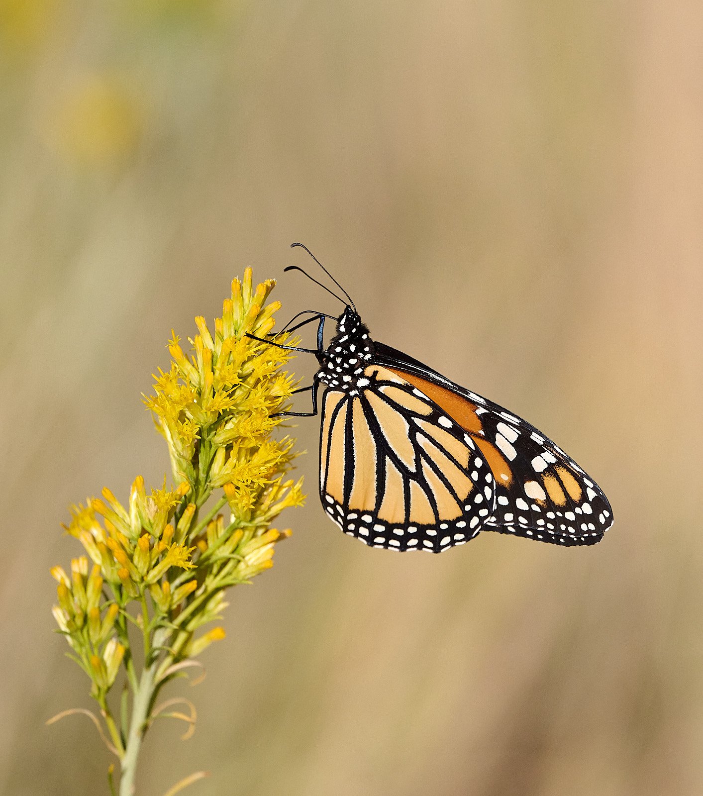
Monarch butterfly
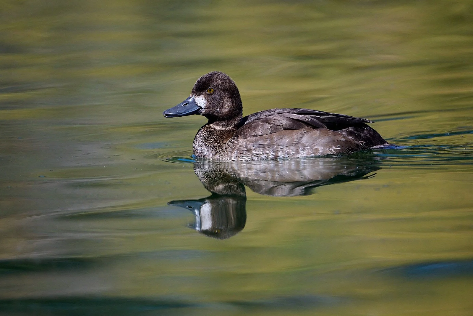
Lesser Scaup
Introduction
Geology is a theme in this post.
“Really?”, you ask. “Why?”
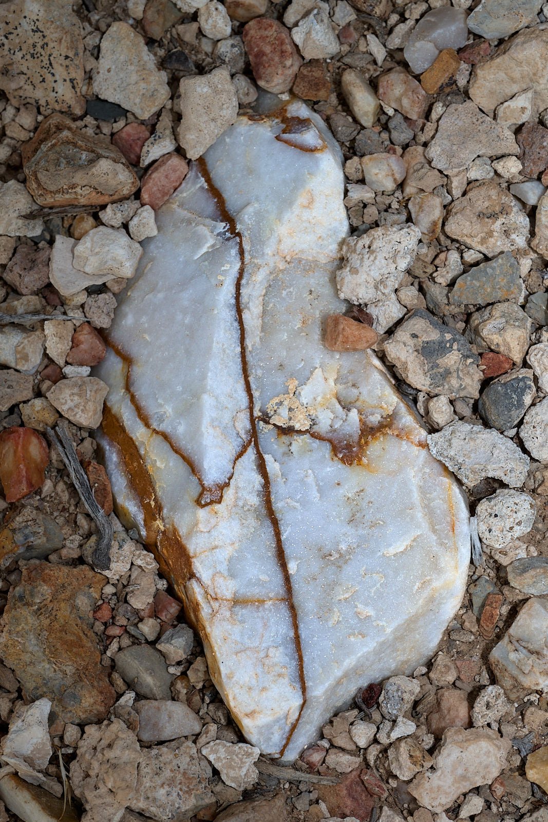
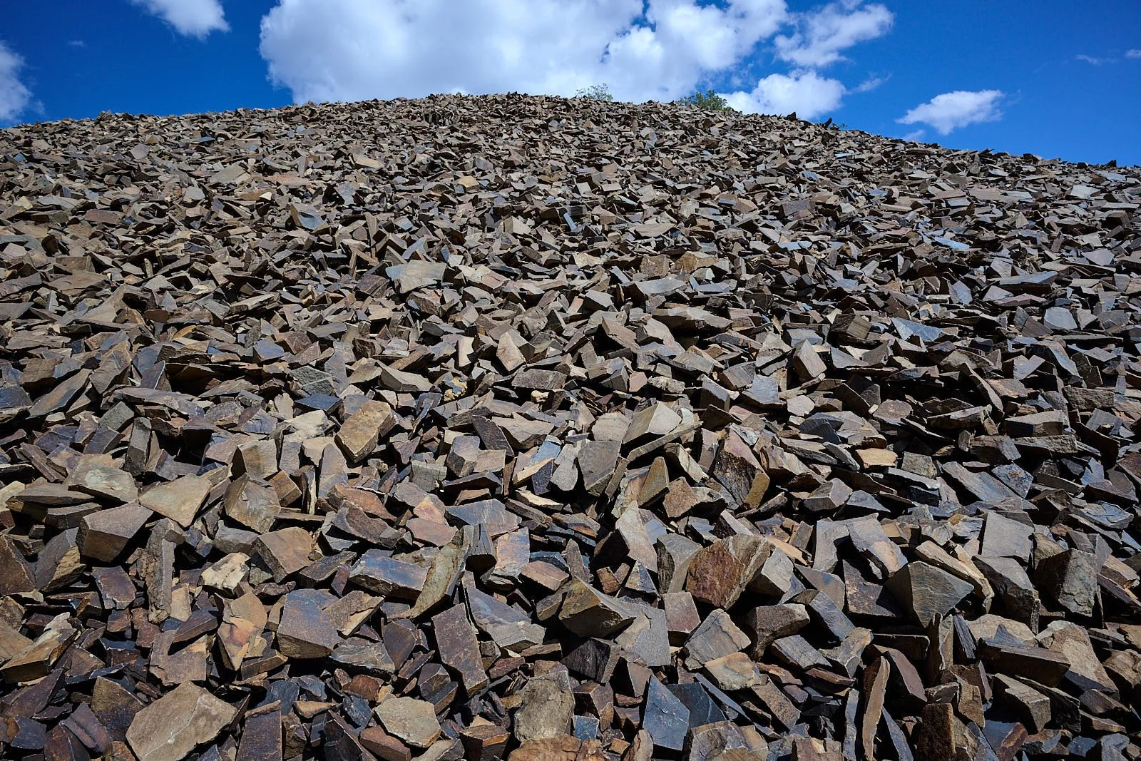
Gravel below Irish Mountain
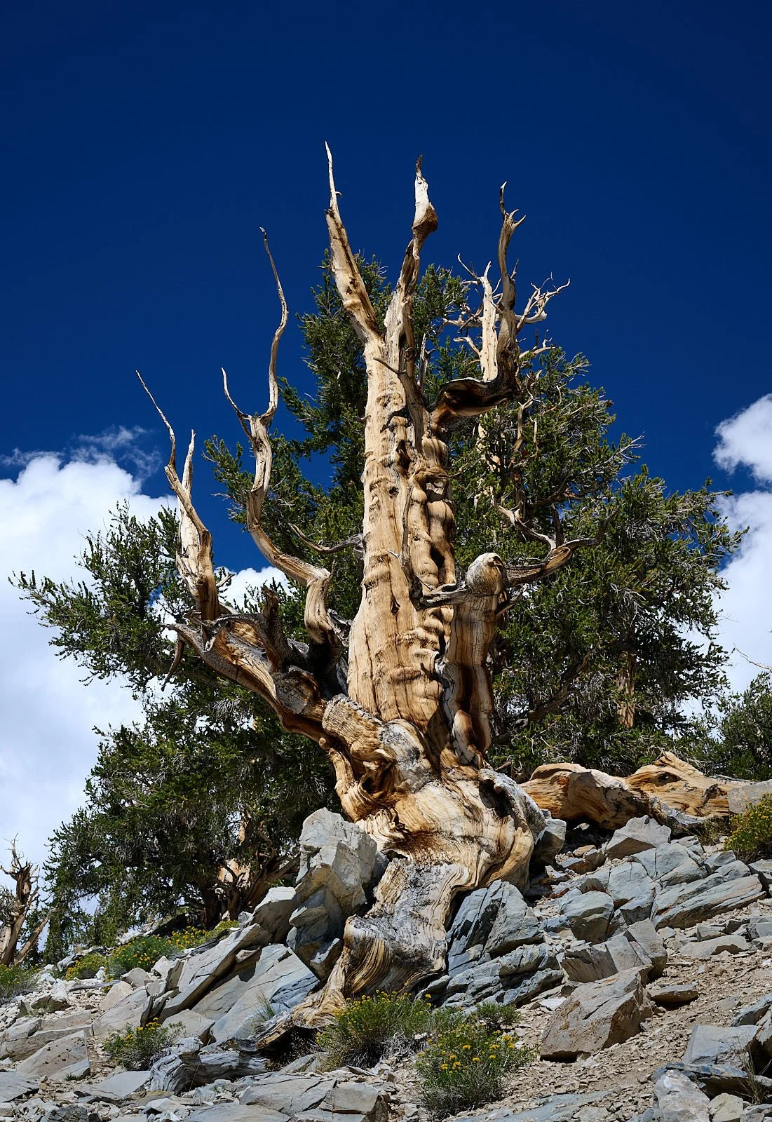
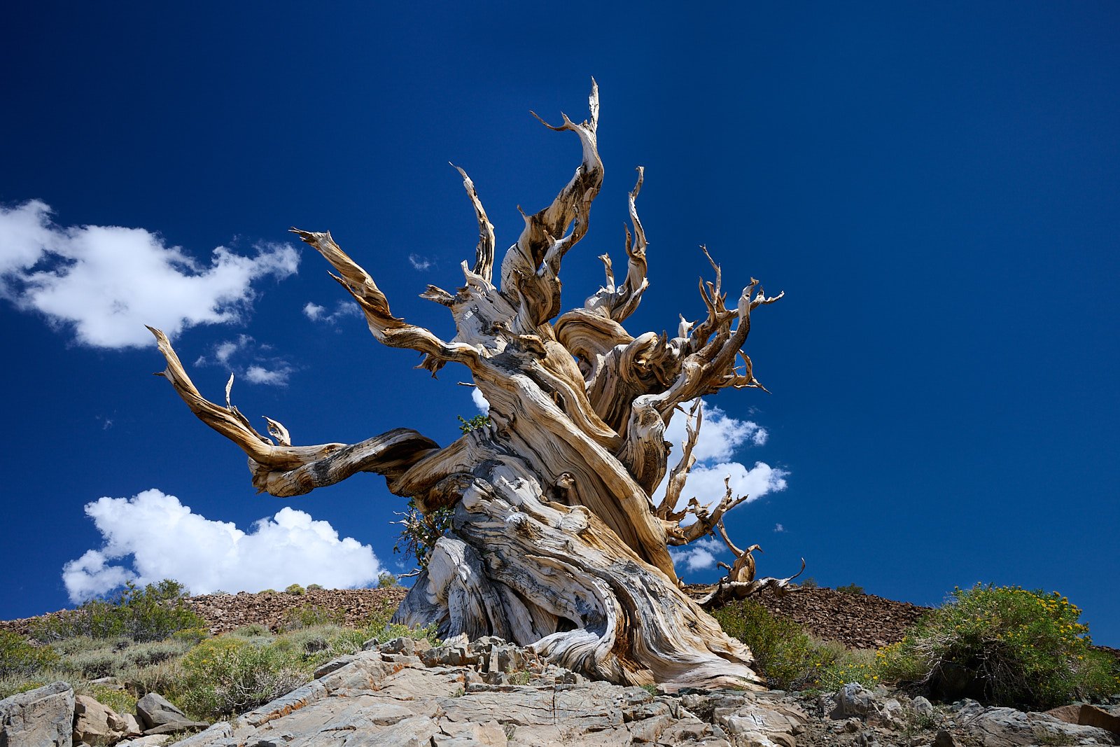
Bristlecone pine
I’m in front of a bristlecone pine and am stunned. The interpretive signage explains that root exposure is an important cause of bristlecone mortality. I try to imagine what it is like to stand in one place for thousands of years, the earth gradually being eroded from beneath your feet.
Why are the bristlecones growing here, on the white soil, and not on the red slopes over there?
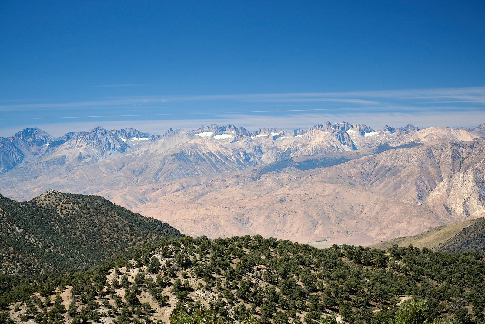
And why is this mountain not a solid granite block like it’s Sierra Nevada neighbors?
Questions beget more questions. While first impressions are valid and often photographed, additional probing yields more understanding.
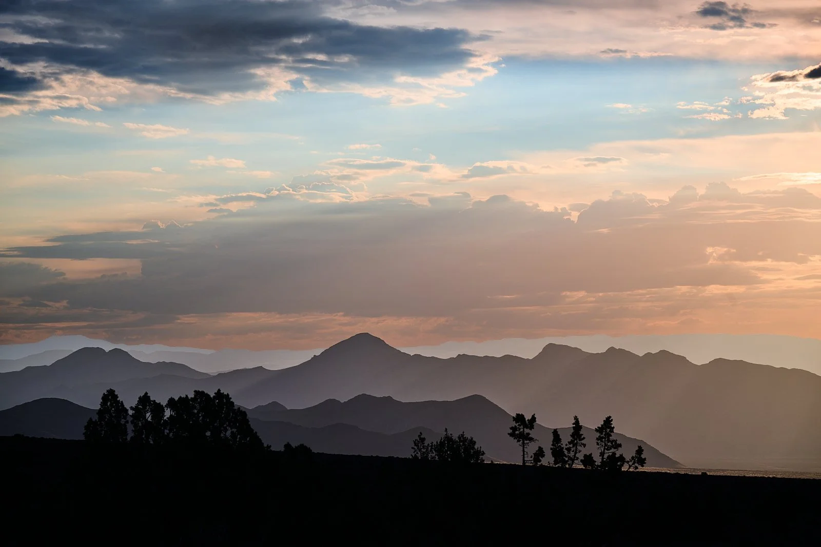
Some of Nevada’s rocks are a billion years old. There are many epic stories in the grand landscapes, written in stone, revealed in washes, and concealed underground. Nevada has over 300 named mountain ranges, which rise in alignment from a flat sagebrush basin. The region is high desert, with its baked geology in full display.
I can’t identify rocks or interpret topography. Fortunately, we had a book to guide us along the way.
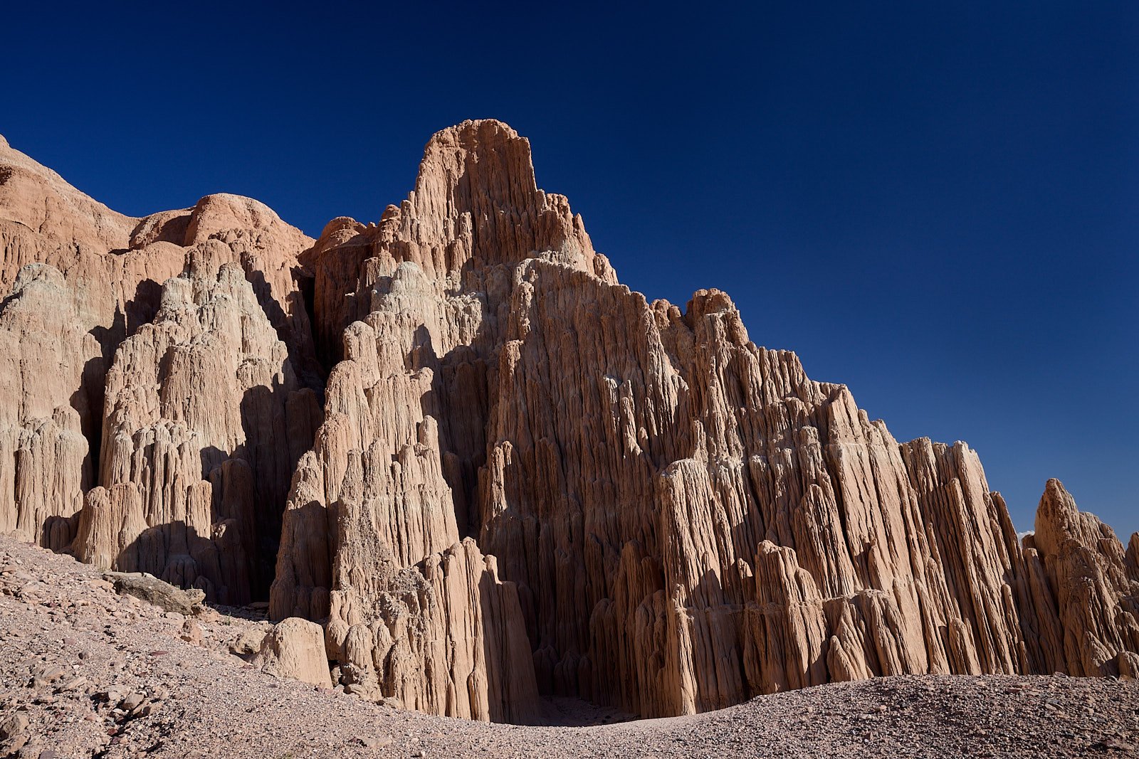
The State is called a geological paradise. A long series of early plate interactions shaped the western edge of North America, including Nevada. This resulted in extremely complex rock assemblages. Nearly every kind of rock known to geologists can be found somewhere in Nevada. The State has extraordinary mineral wealth.
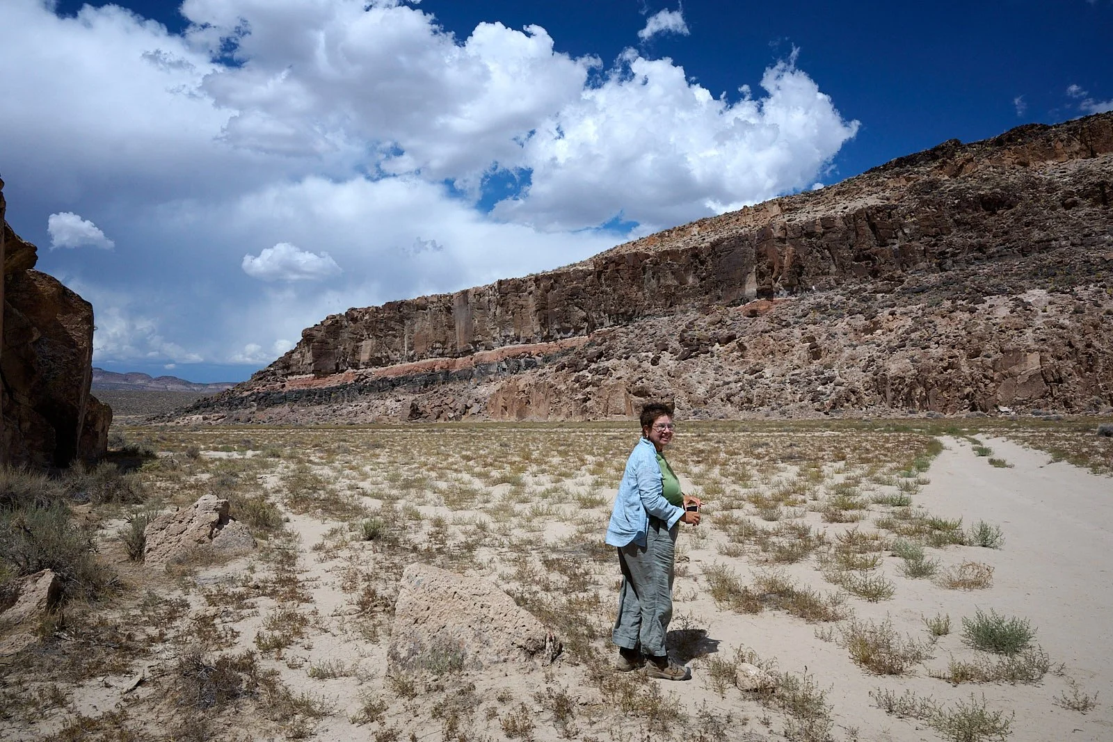
White River Narrows
Our Journey
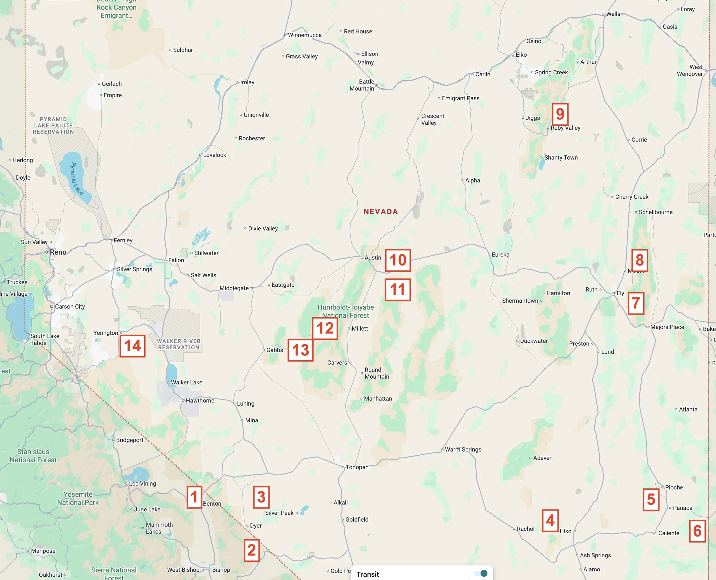
Red numbers indicate the location and sequence of our campsites.
If Phileas Fogg could circumnavigate the world in 80 days, we guessed Nevada could be explored in half that time. It took us 36 days but we omitted nearly half of the State. That’s ok, more to visit next time.
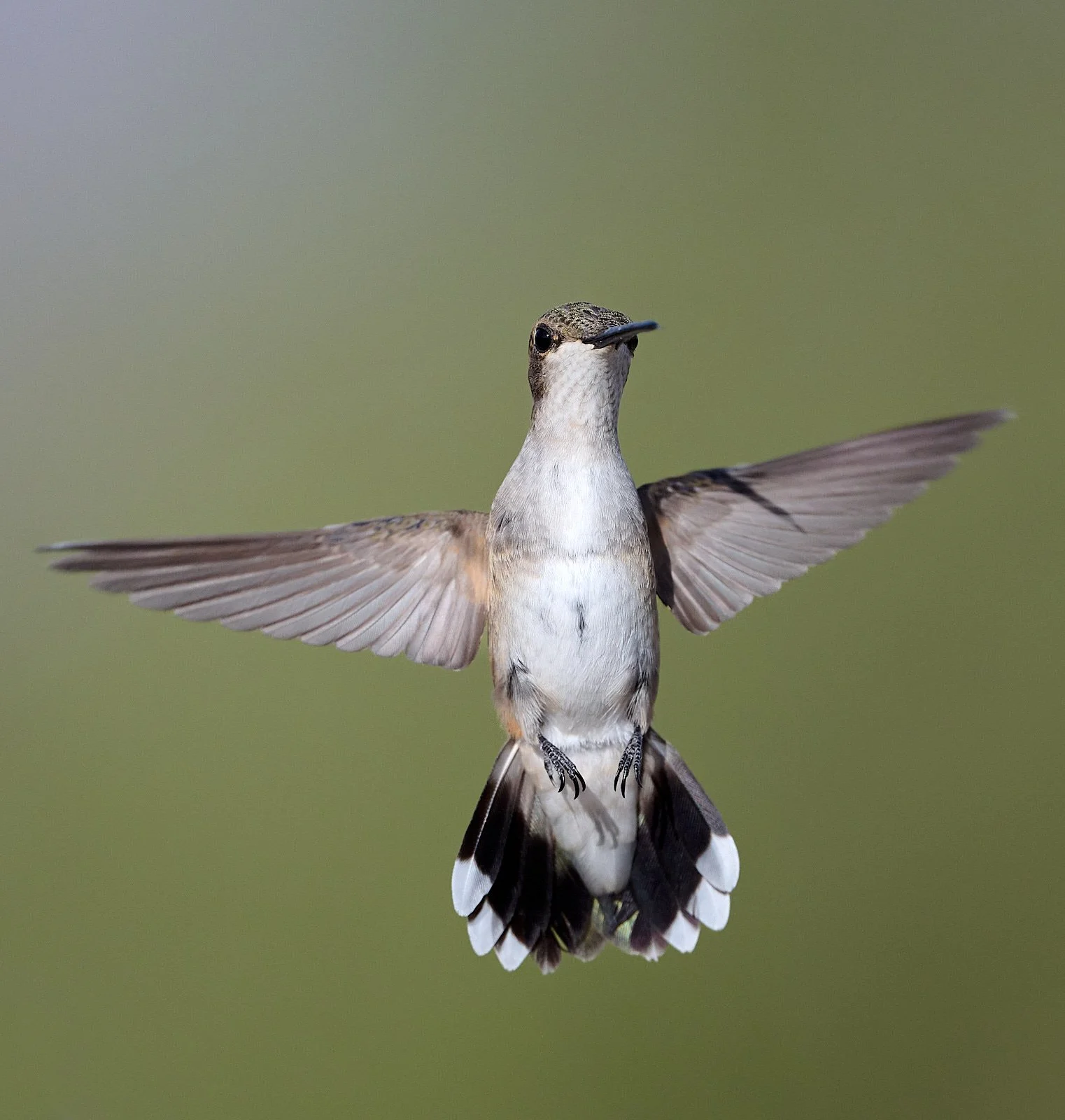
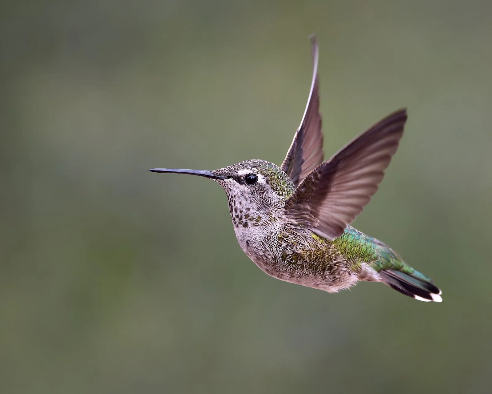
Black-chinned Hummingbird
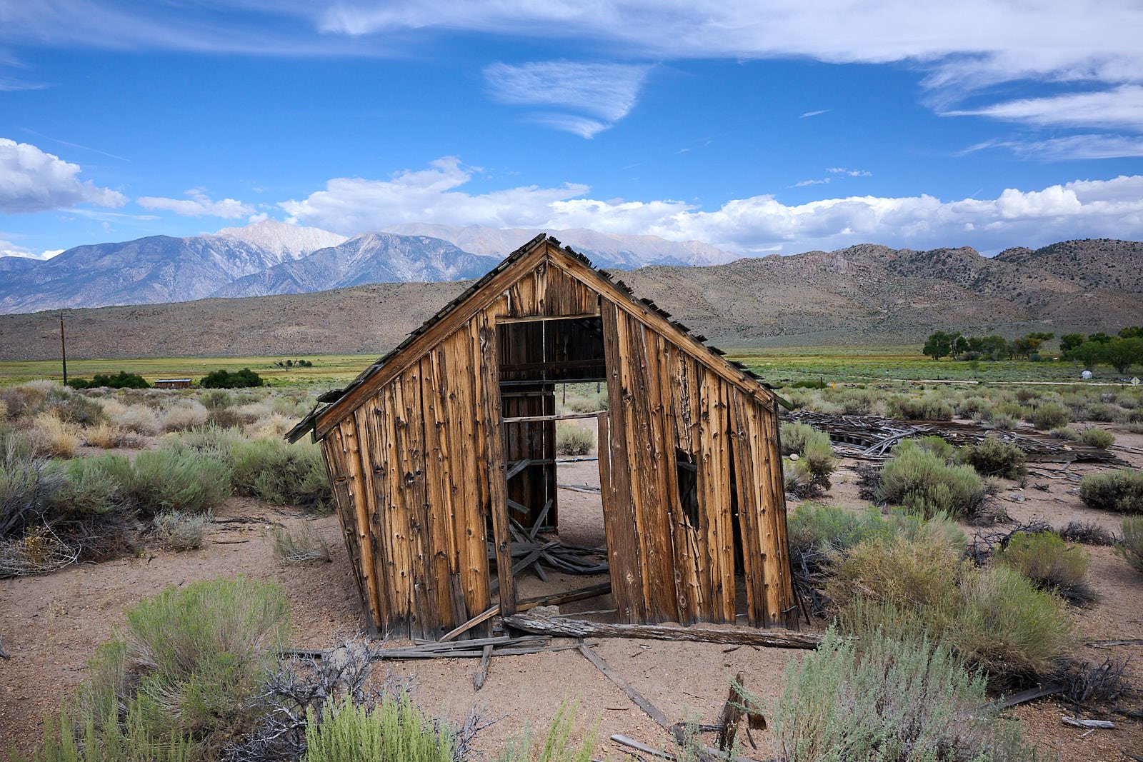
Relic from the mining days.
Benton Hot Springs (5,620 feet elevation)
Benton is one of the oldest existing towns in Mono County, CA. The area was inhabited by Paiute people who used its hot springs. In the 1850s, Benton became a resting place for travelers en route to the mining towns of Bodie and Aurora. Gold was discovered in Benton’s hills in 1862, and its population boomed to about 5,000. Later, silver was found and mining activity continued until about 1890. After that, the town slowed down; its population in 2020 was 279.
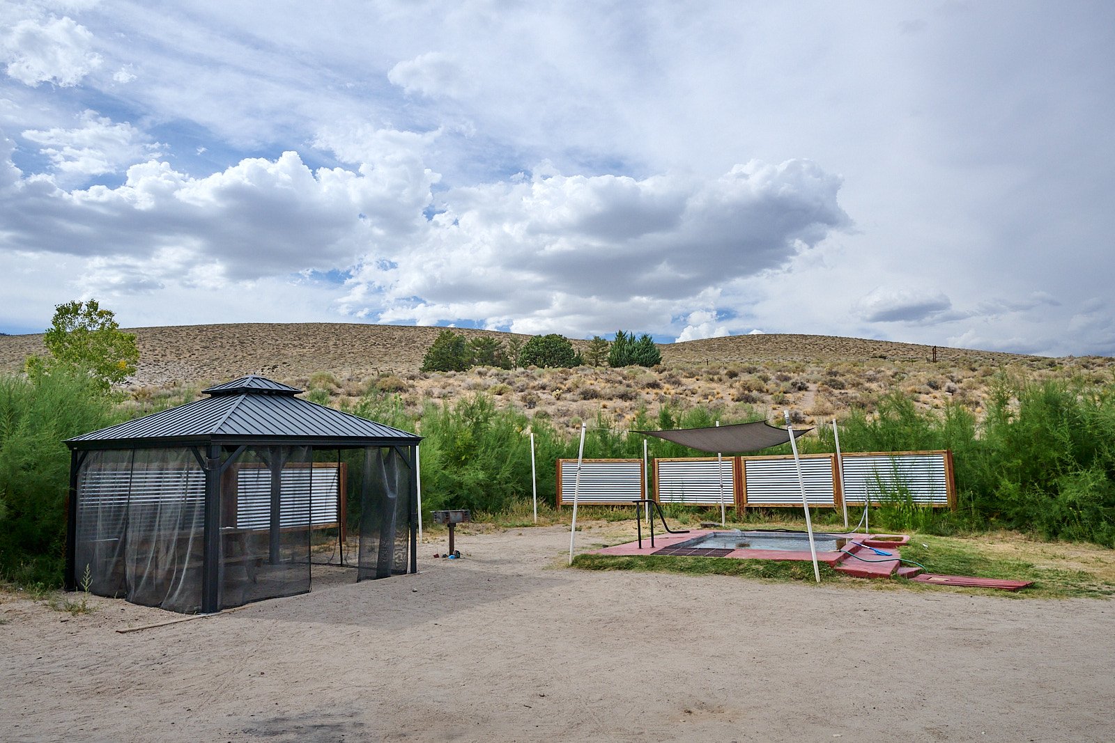
We stayed at the Benton Hot Springs campground, which has 14 private hot tubs. Luxurious camping!
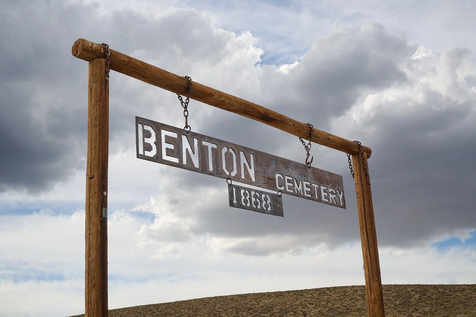
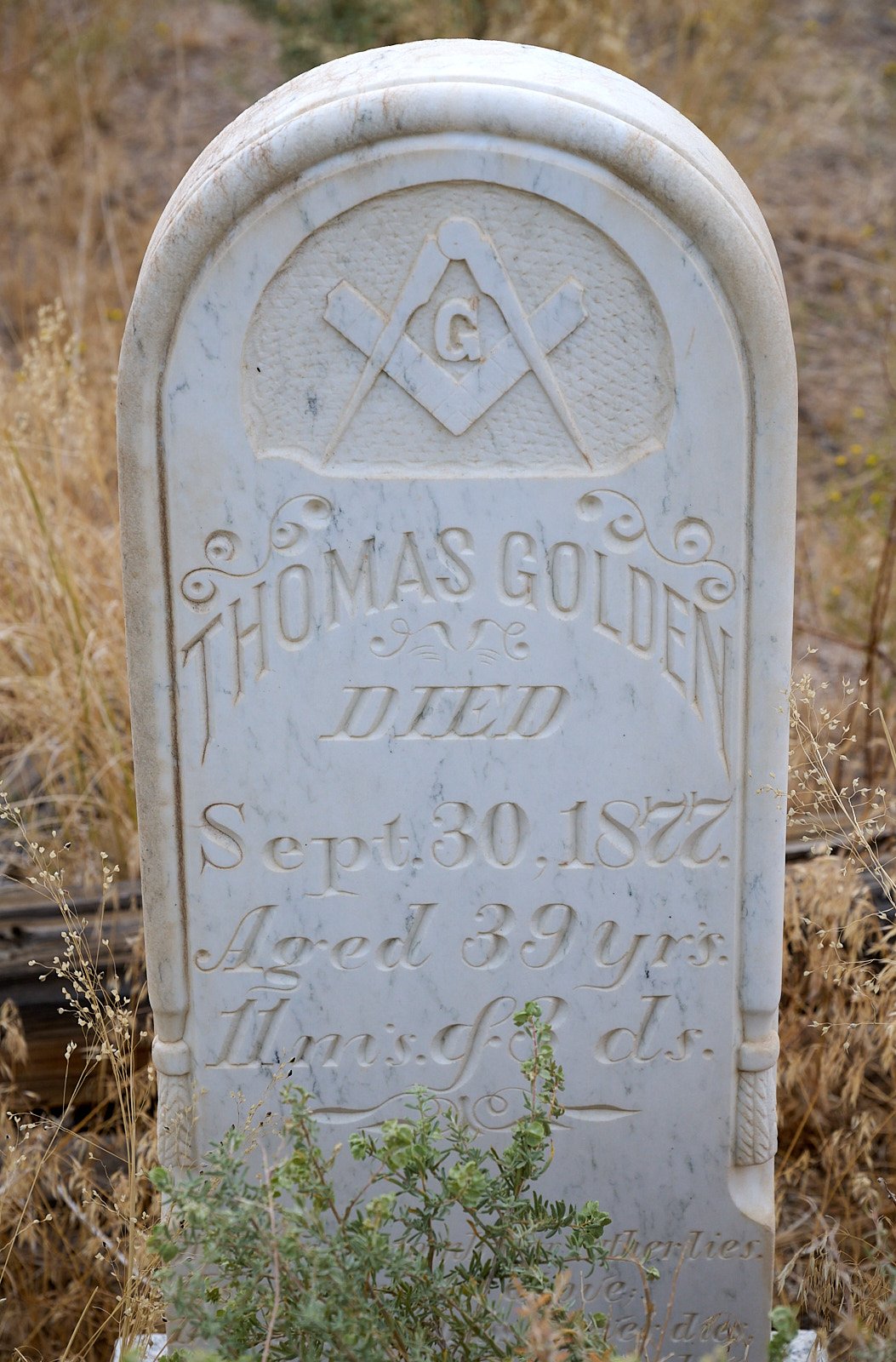
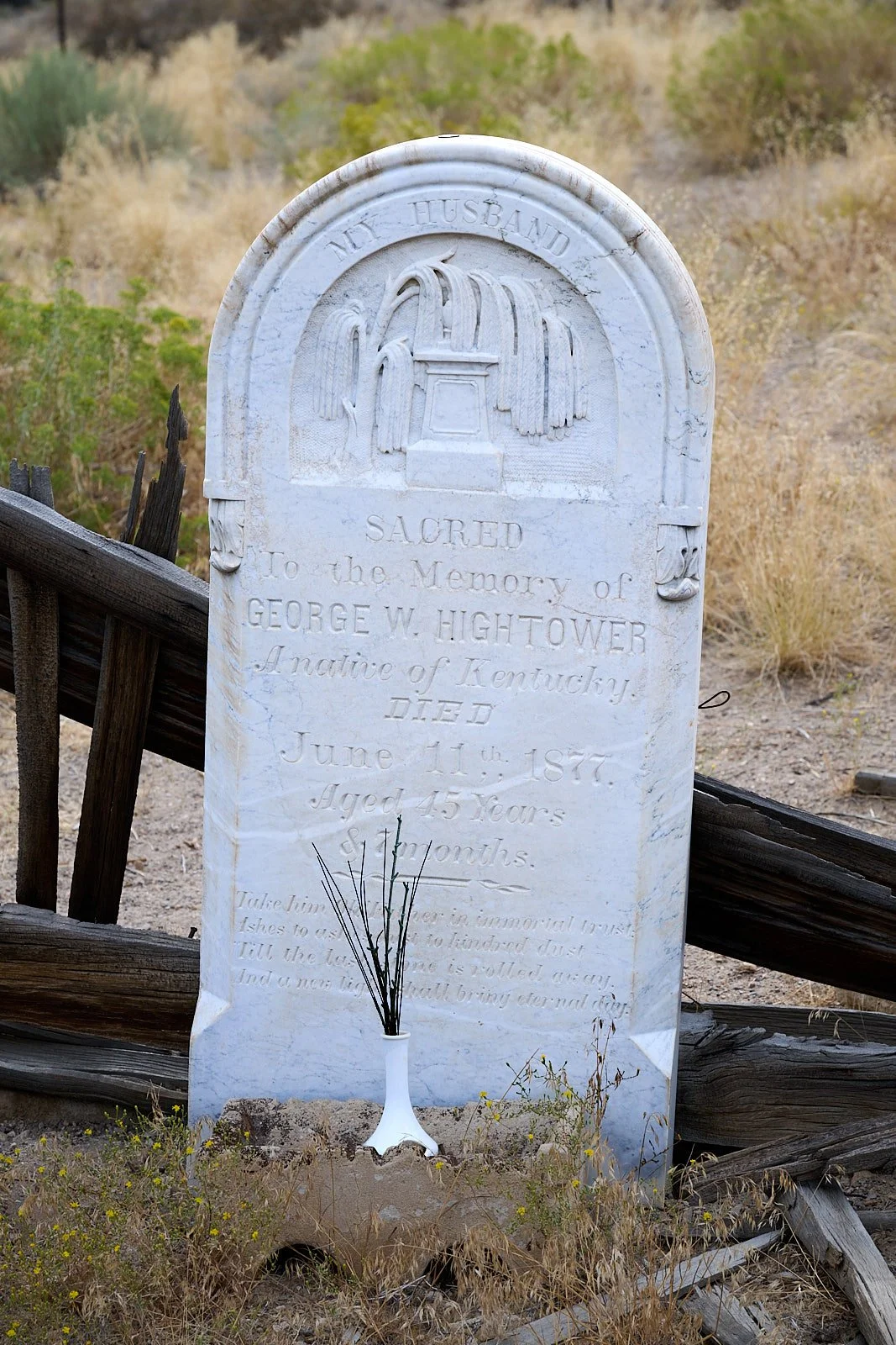
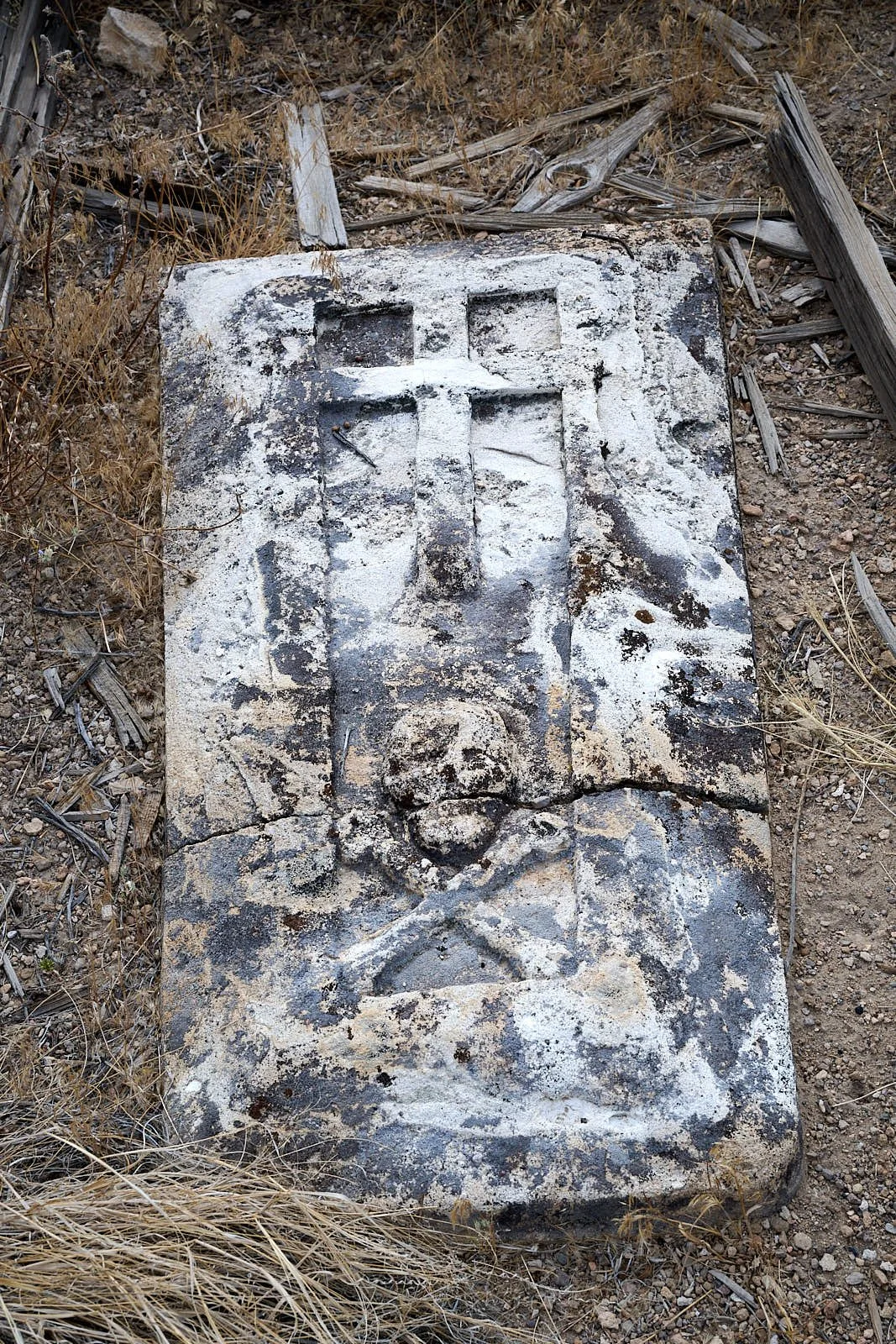
The owners of the Inn at Benton Hot Springs, together with a Historic Benton Hot Springs nonprofit, are attempting to preserve the area’s history. One item of interest is the old cemetery.
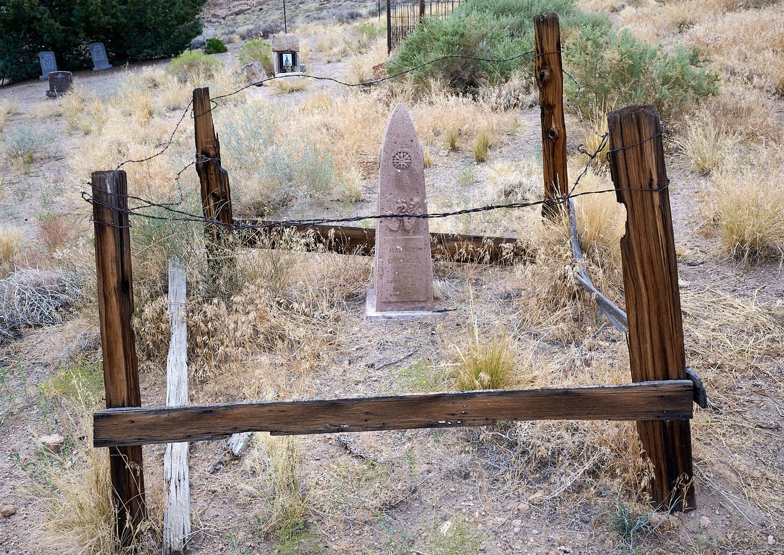
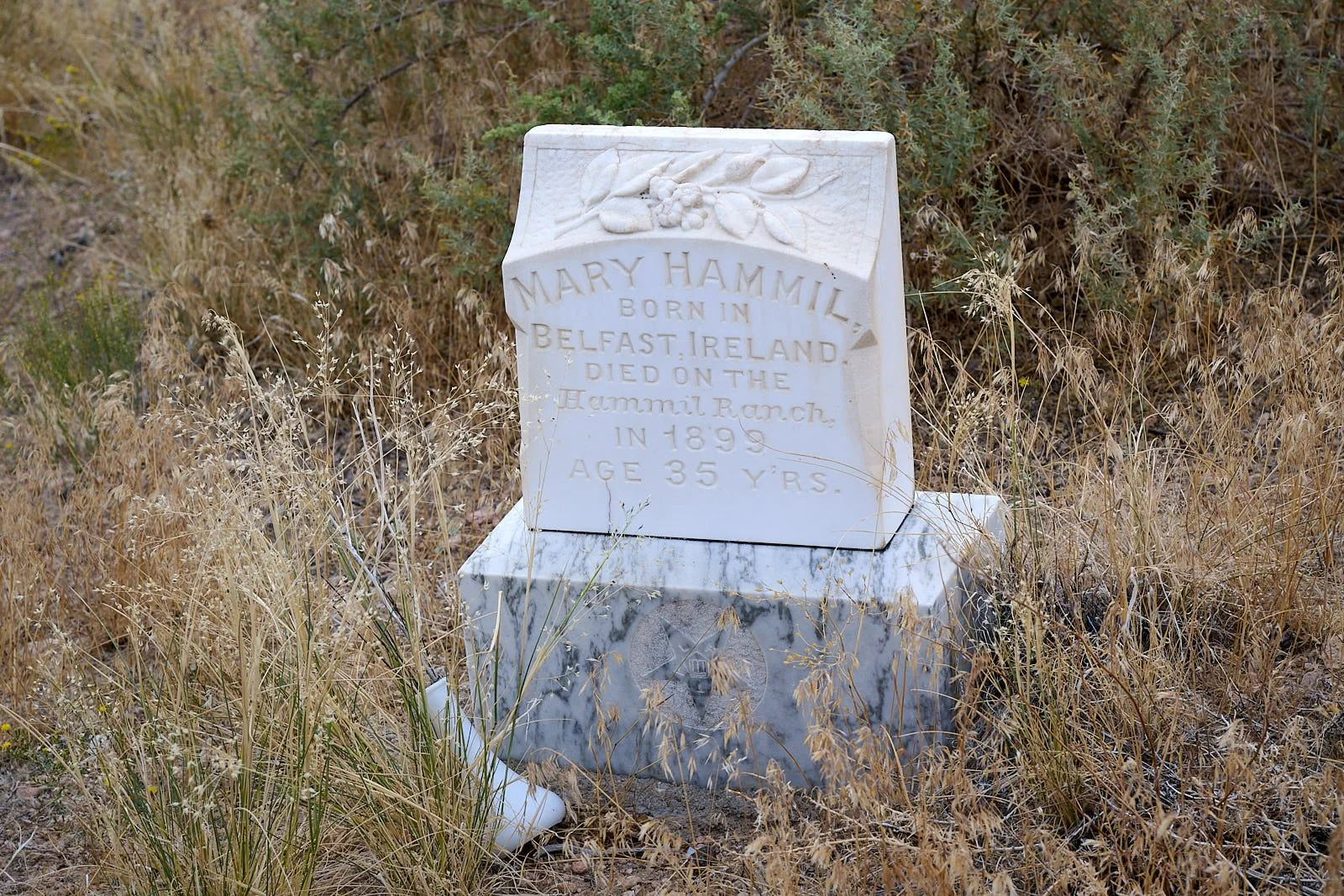
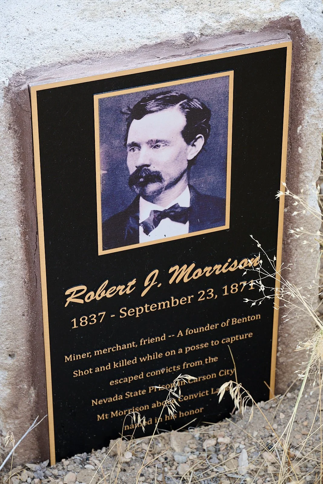
Robert Morrison’s story
Twenty-nine convicts overpowered guards and escaped from the Nevada State Penitentiary in Carson City on September 17, 1871. A group of six escapees fled south, killing three unfortunate citizens they encountered. The convicts split into two groups of three. One group were pursued to the California border by a posse from Esmeralda County, Nevada, who then handed over the chase to a Mono County posse. Robert Morrison, a prominent Benton merchant who was engaged to be married, was a member of the new posse. The fugitives (Black, Morton, and Roberts) were located near Monte Diablo Creek in Taylor Canyon and a dawn shootout occurred on September 23, 1871. Posse members Morrison and Mono Jim (a Native American) were shot dead, and the convicts apprehended a few days later. It is said that vigilantes took the convicts from the posse, held a makeshift court in a remote cabin, and hung Black and Morton on September 27th. Roberts, who had a minor role in the killings, was returned to the posse and taken back to prison.
Monte Diable Creek was renamed Convict Creek in commemoration of the shootout. Two nearby peaks were called Mount Morrison and Mono Jim Peak in honor of the fallen posse members.
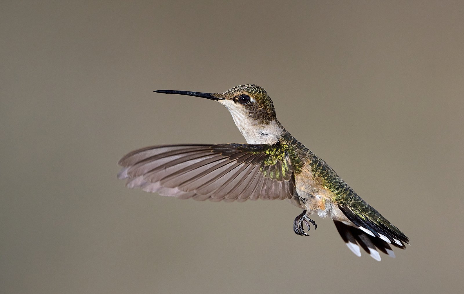
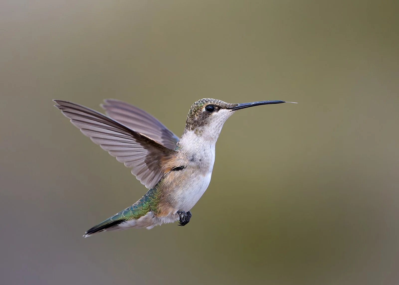
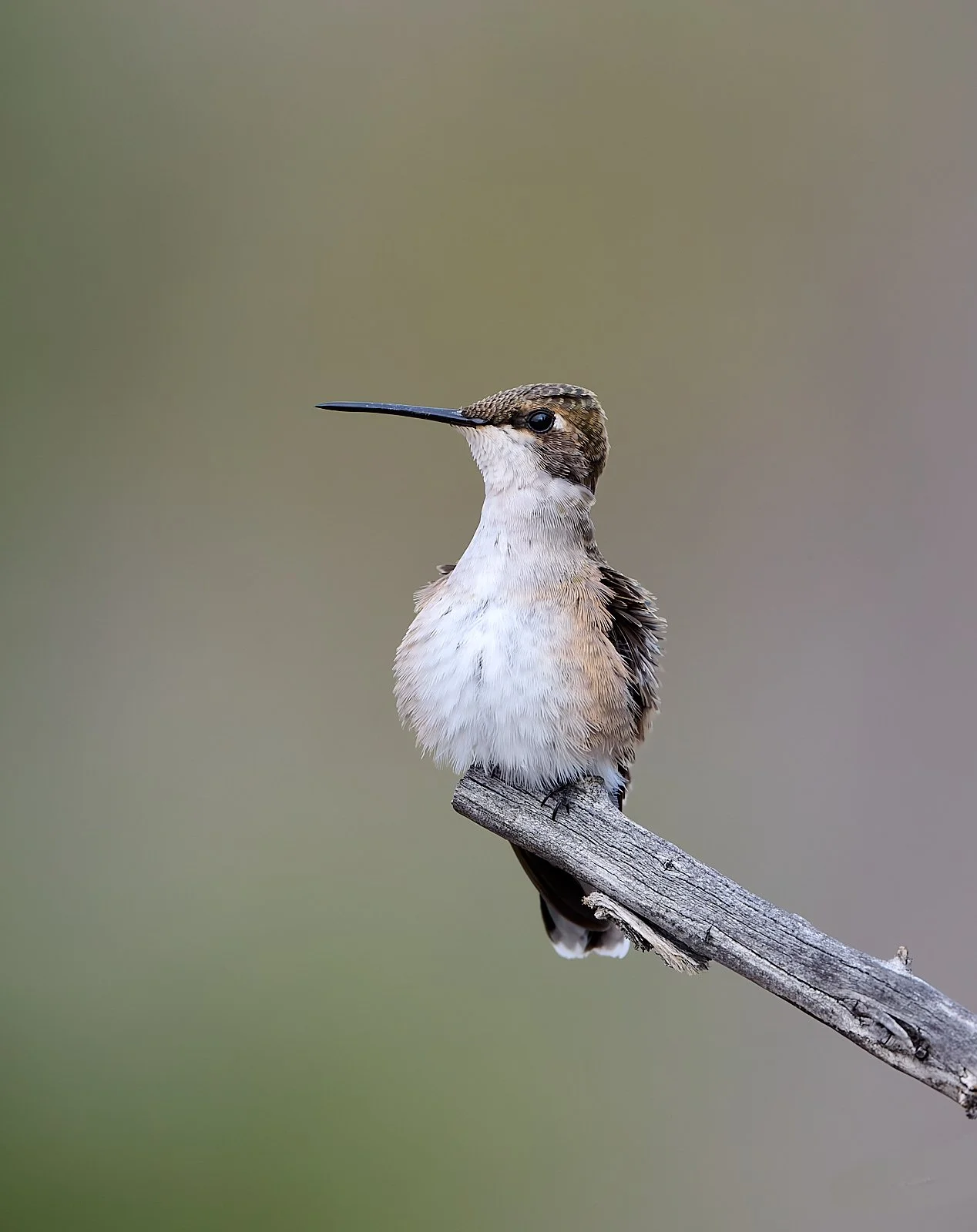
Black-chinned Hummingbird
Grandview campground, Inyo National Forest (8,570 feet elevation)
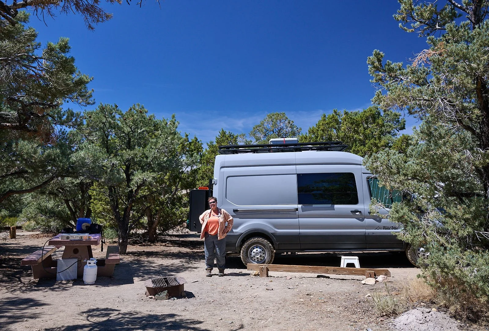
Sleepy Grandview campground lies intertwined among forested hillsides of Utah juniper, single needle pinyon pine, and sagebrush.
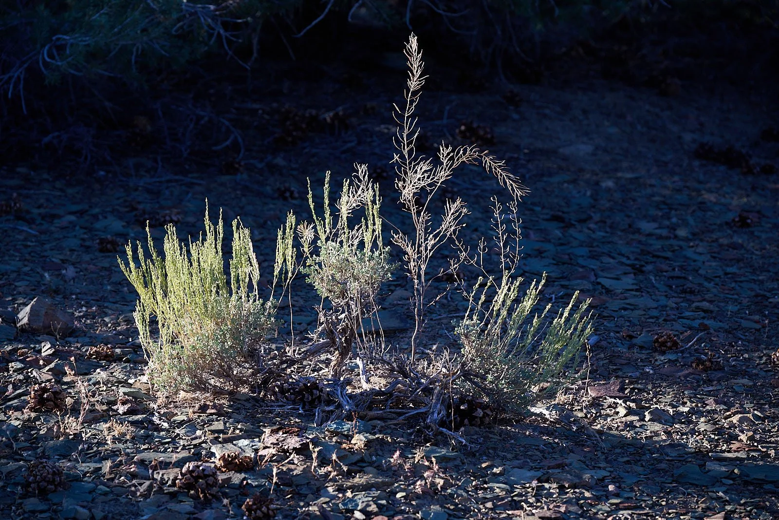
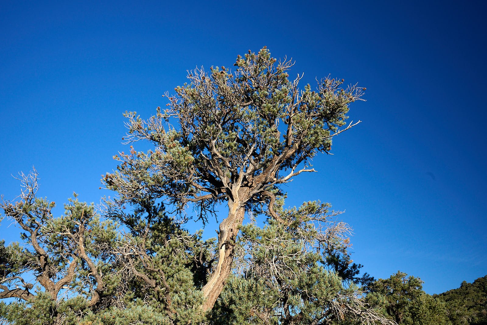
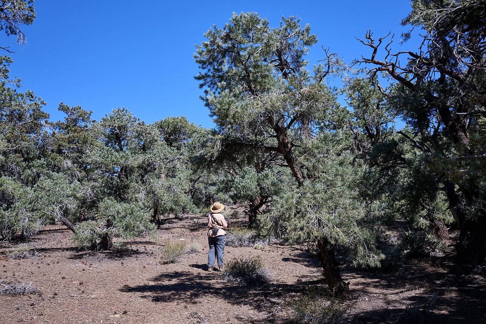
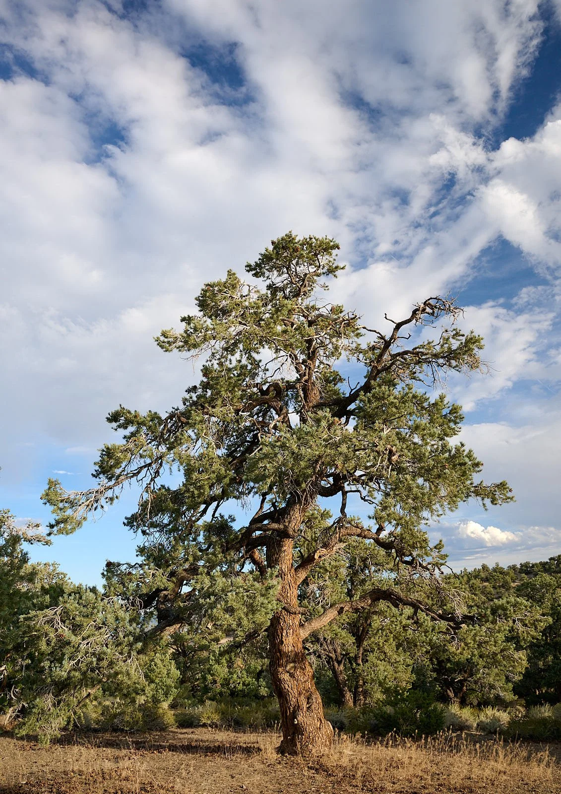
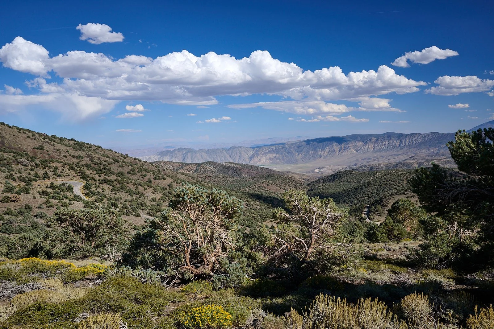
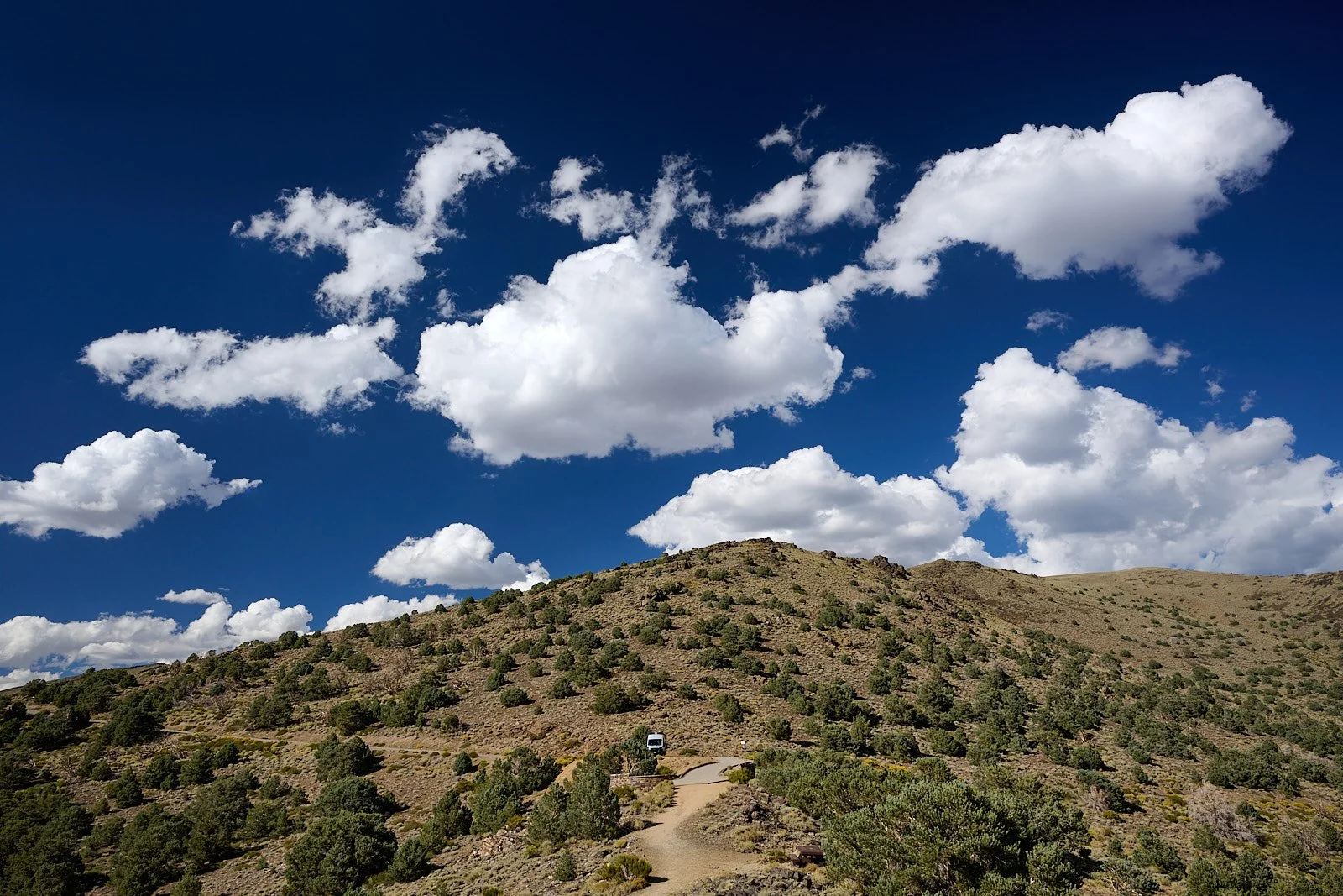
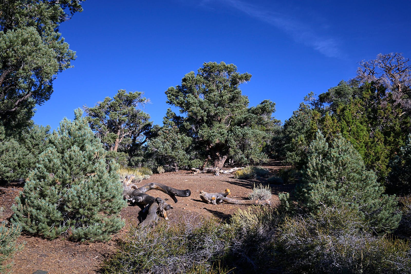
Bristlecone pines
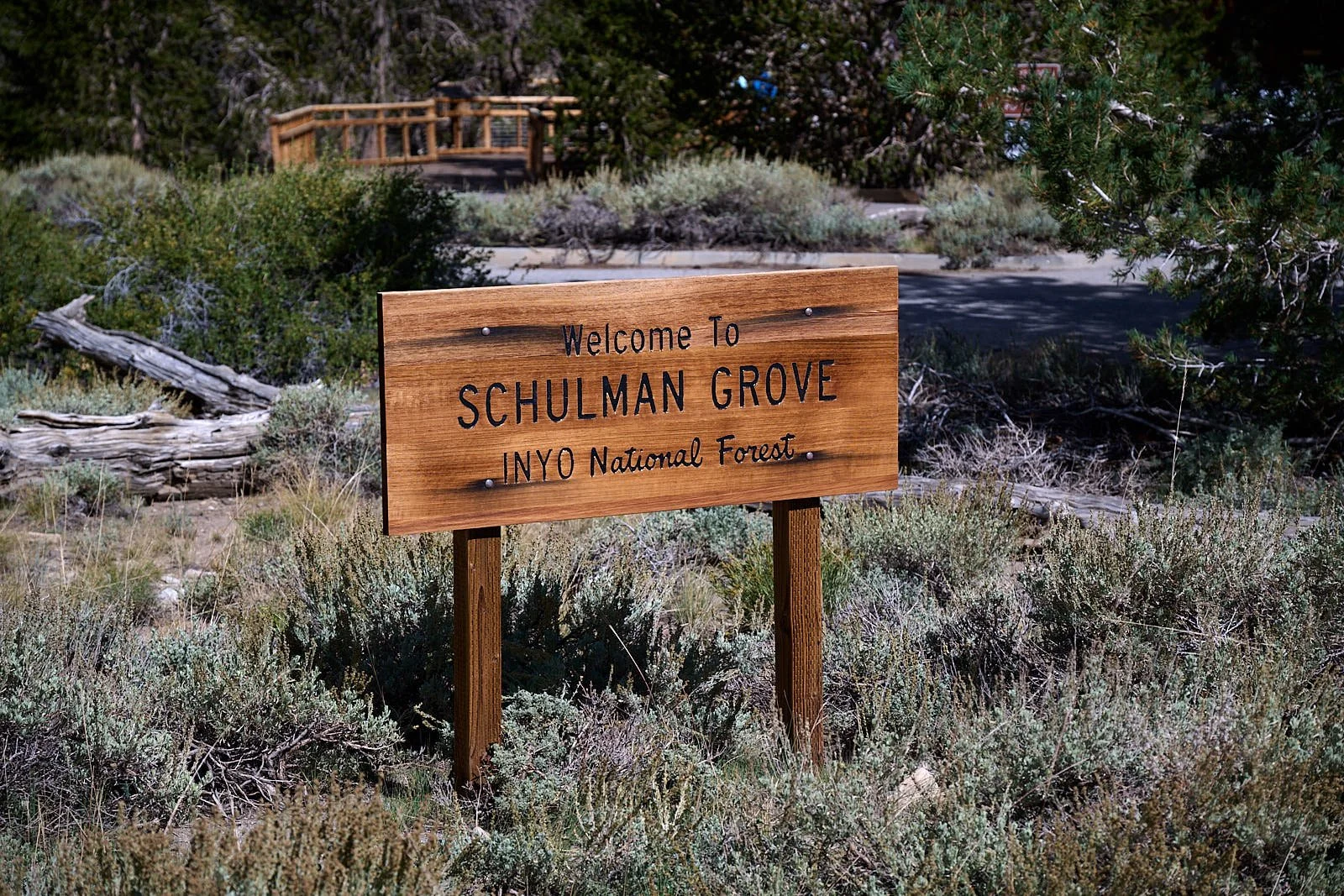
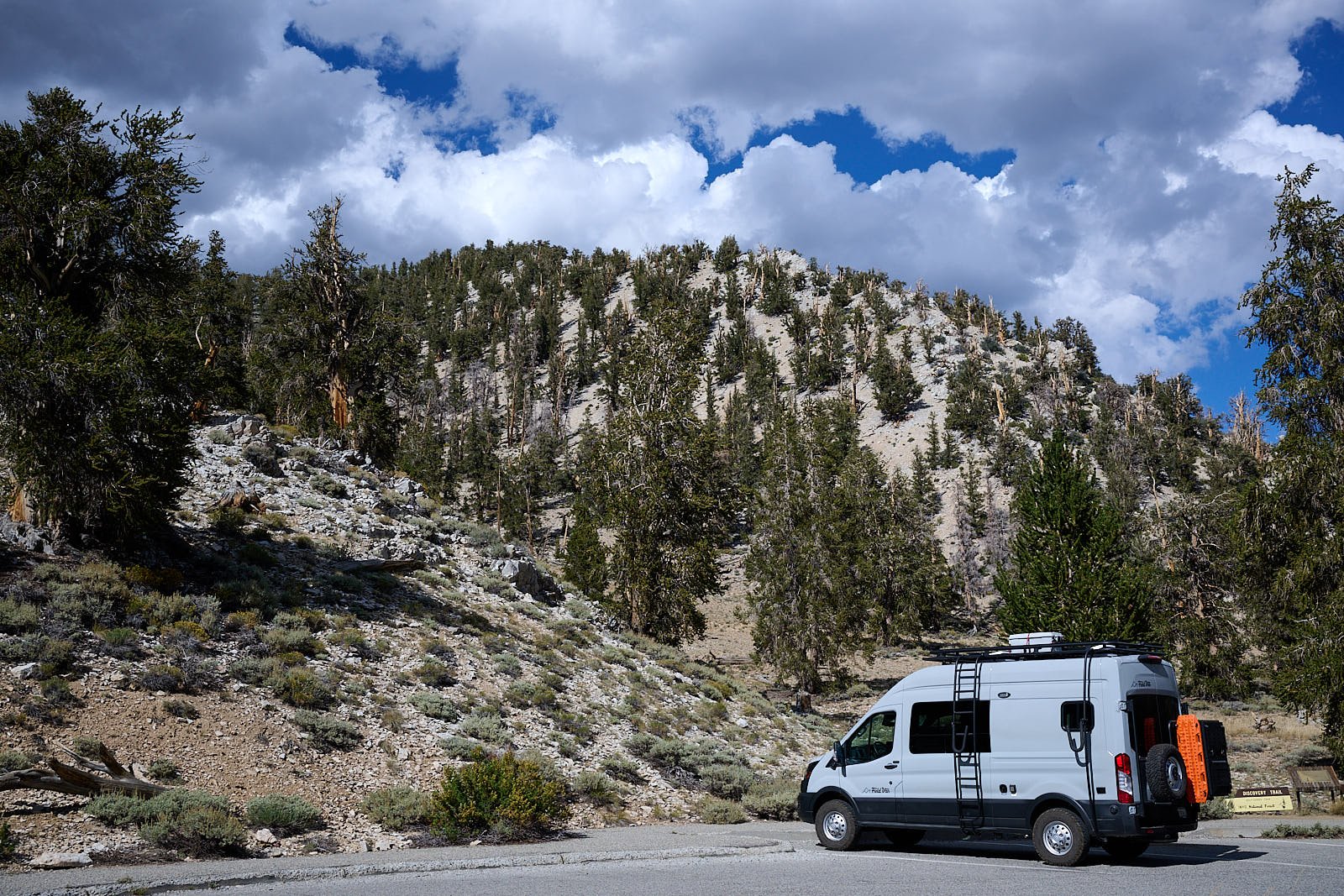
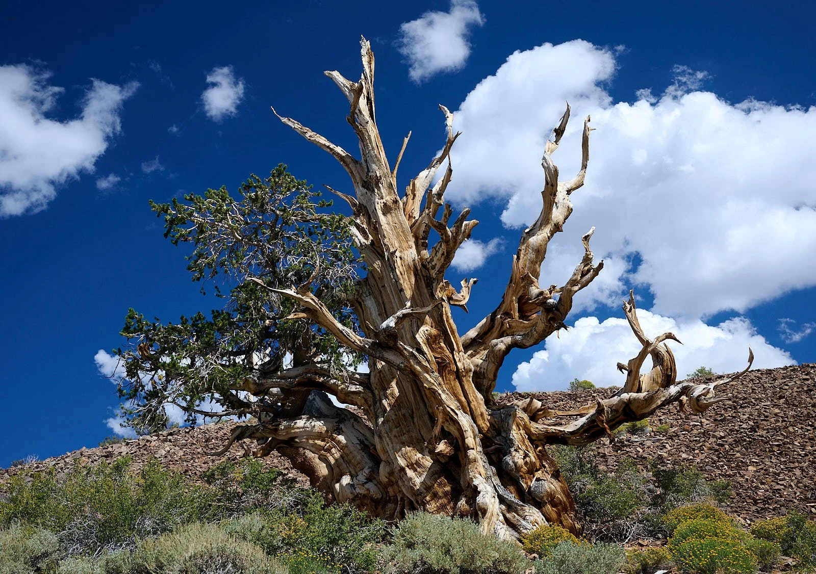
We visited the “Ancient Bristlecone Pine Forest” in California’s White Mountains. The grove is home to the famous 4,848-yearold Methuselah tree and to another that is 5,067 years old.
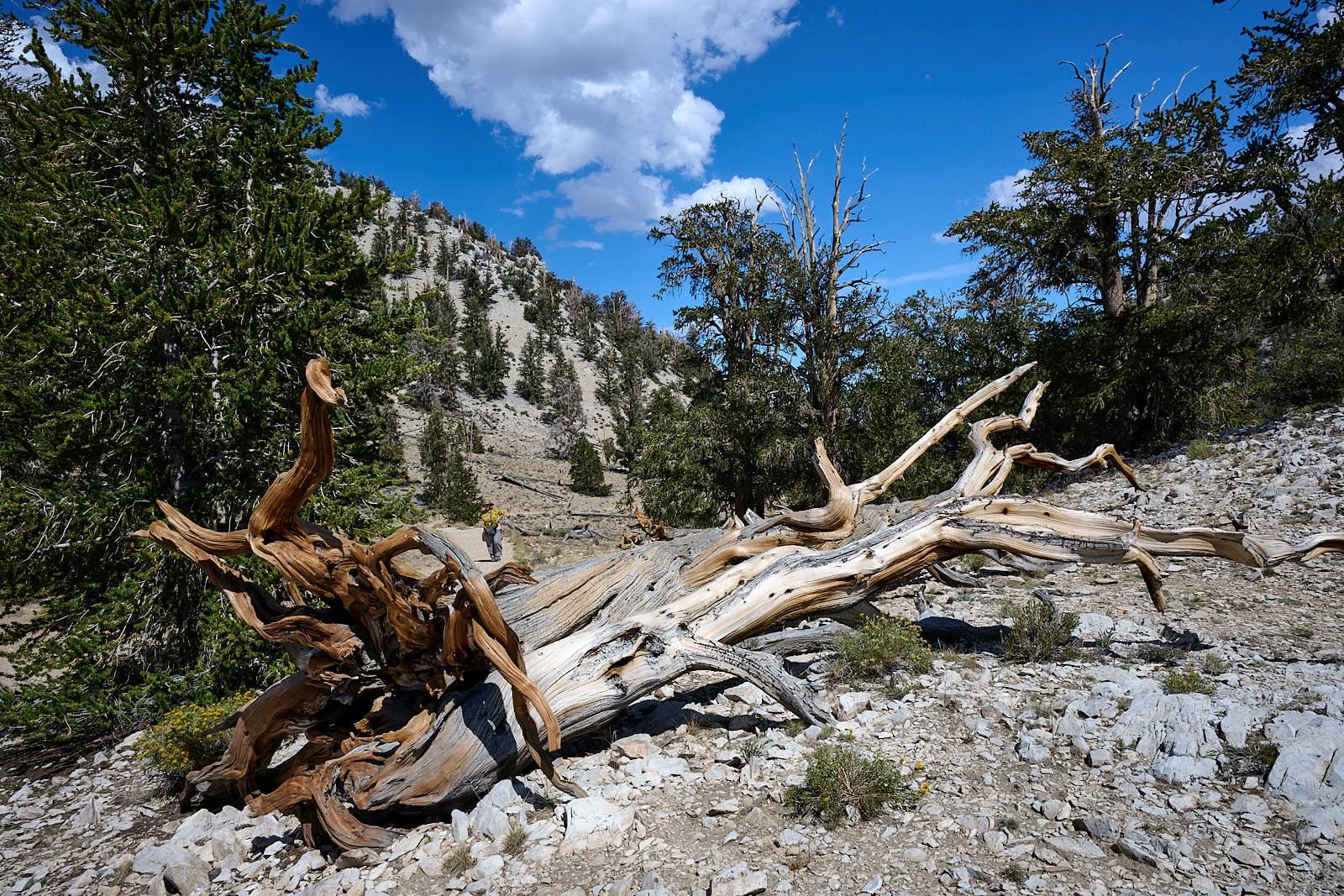
Based on the growth rings of live and dead trees, researchers developed a tree history dating back 10,000 years. This proved instrumental in recalibrating the radiocarbon dating process and has provided more accurate understanding of when human civilizations inhabited past lands, what past volcanic eruptions have done to vegetation growth, and what our climate looked like thousands of years ago.
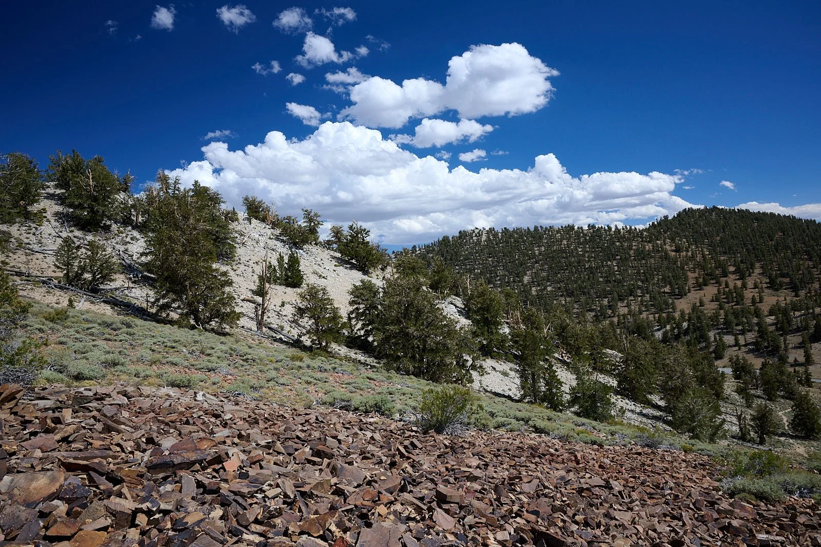
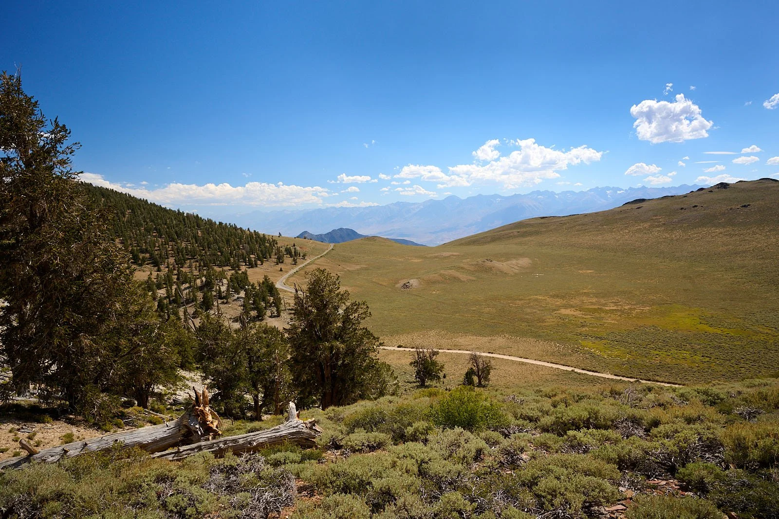
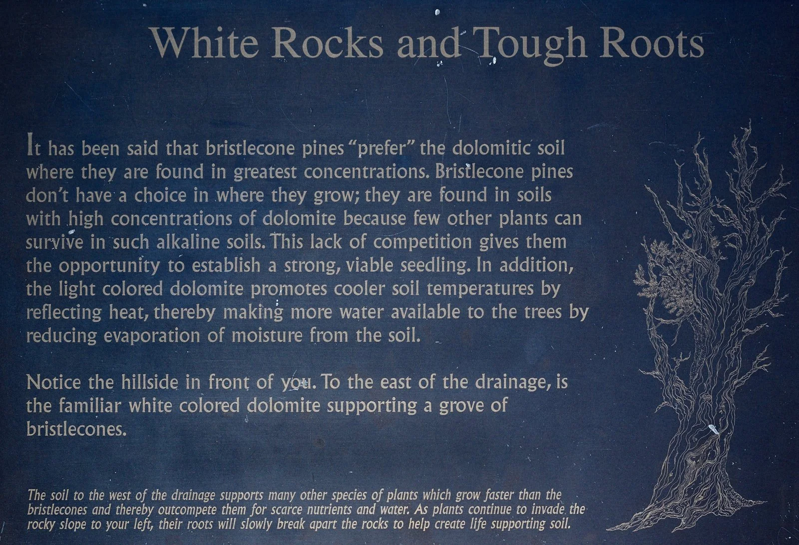
Top left: White dolomite outcrop. Top right: Slopes without bristlecone pines.
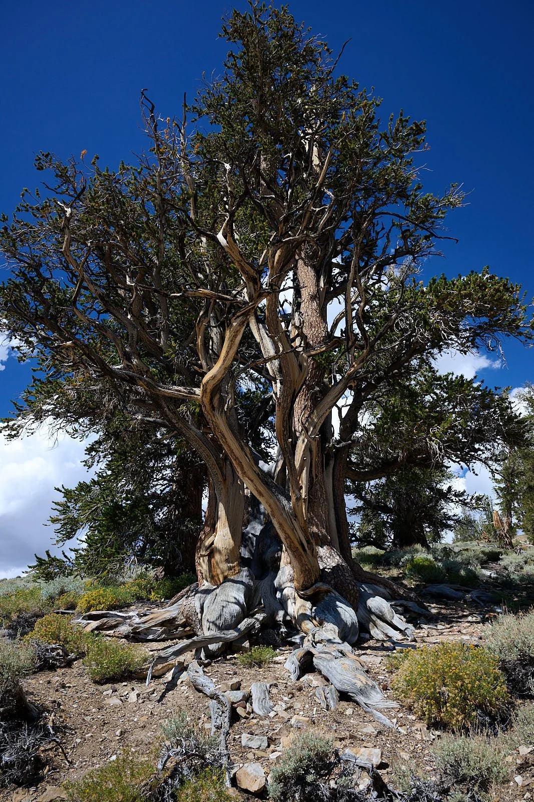
Bristlecone Pine (Pinus longaeva)
Bristlecone pines are found sparsely scattered in small stands in California, Nevada, and Utah at elevations from 9,800 to 11,000 feet. Bristlecone wood is very dense and resinous, and thus resistant to invasion by insects, fungi and other potential pests. In very old specimens, often only a narrow strip of living tissue connects the roots to a handful of live branches. Growth is extremely slow; a 40-year-old plant may not even reach six inches.
The species is monoecious, meaning each tree has both male and female pine cones. The name bristlecone comes from the small prickly bristle that forms on the immature female cones. Pollination occurs by wind. Once the cones are fertilized, the seeds are released and dispersed by wind with the help of a small wing-like sheath attached to the seed. Bristlecone pines can produce seeds for thousands of years, but they produce fewer as they age. (From: National Forest websites)
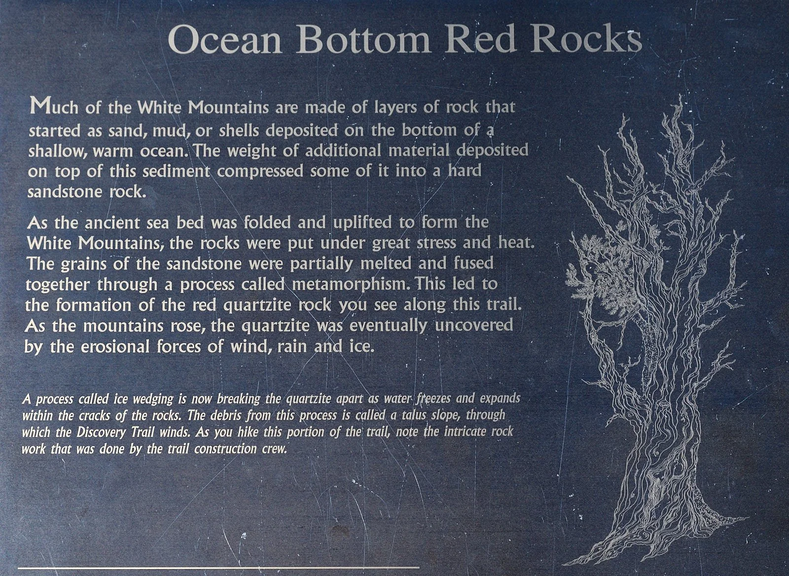
Fish Lake Valley
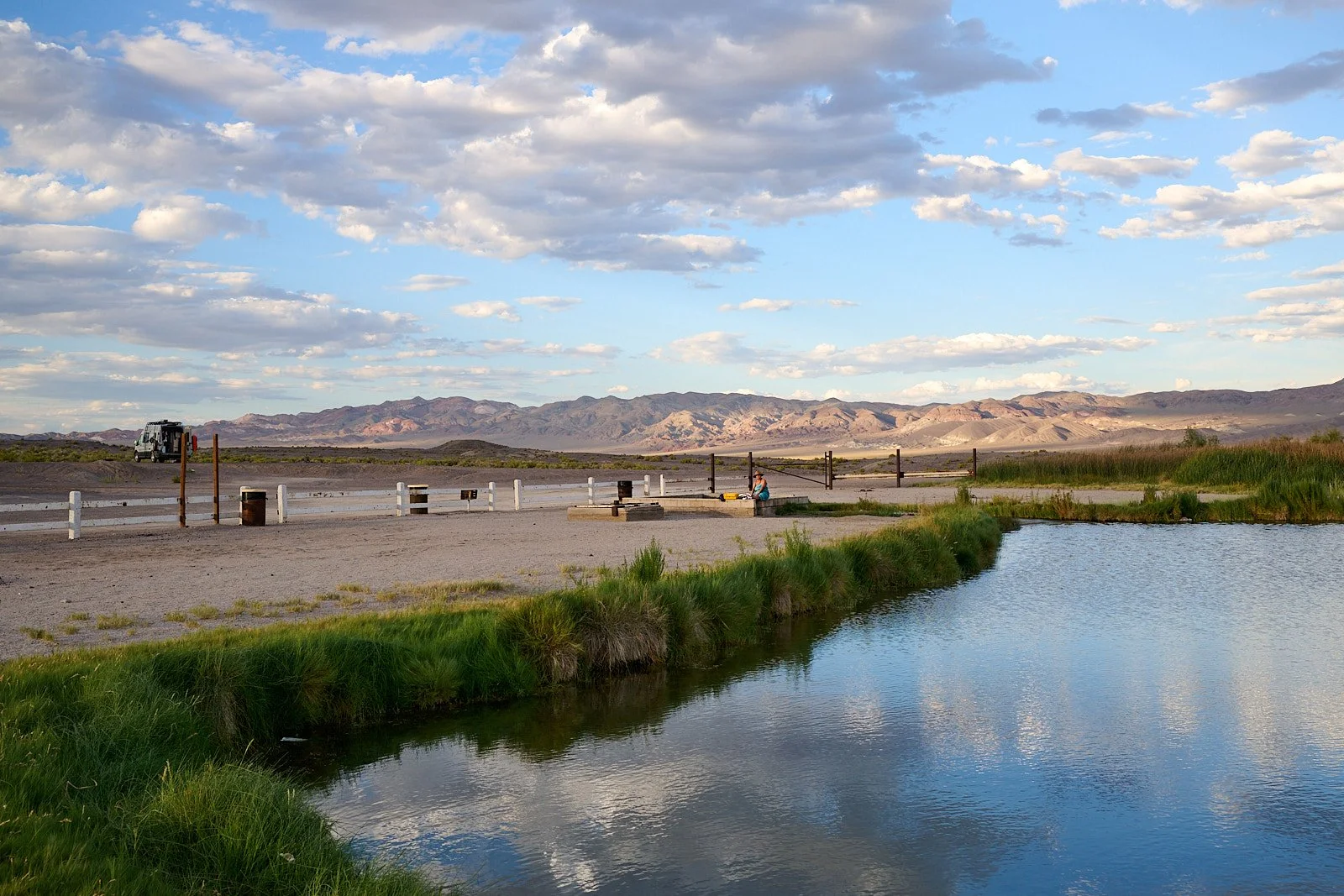
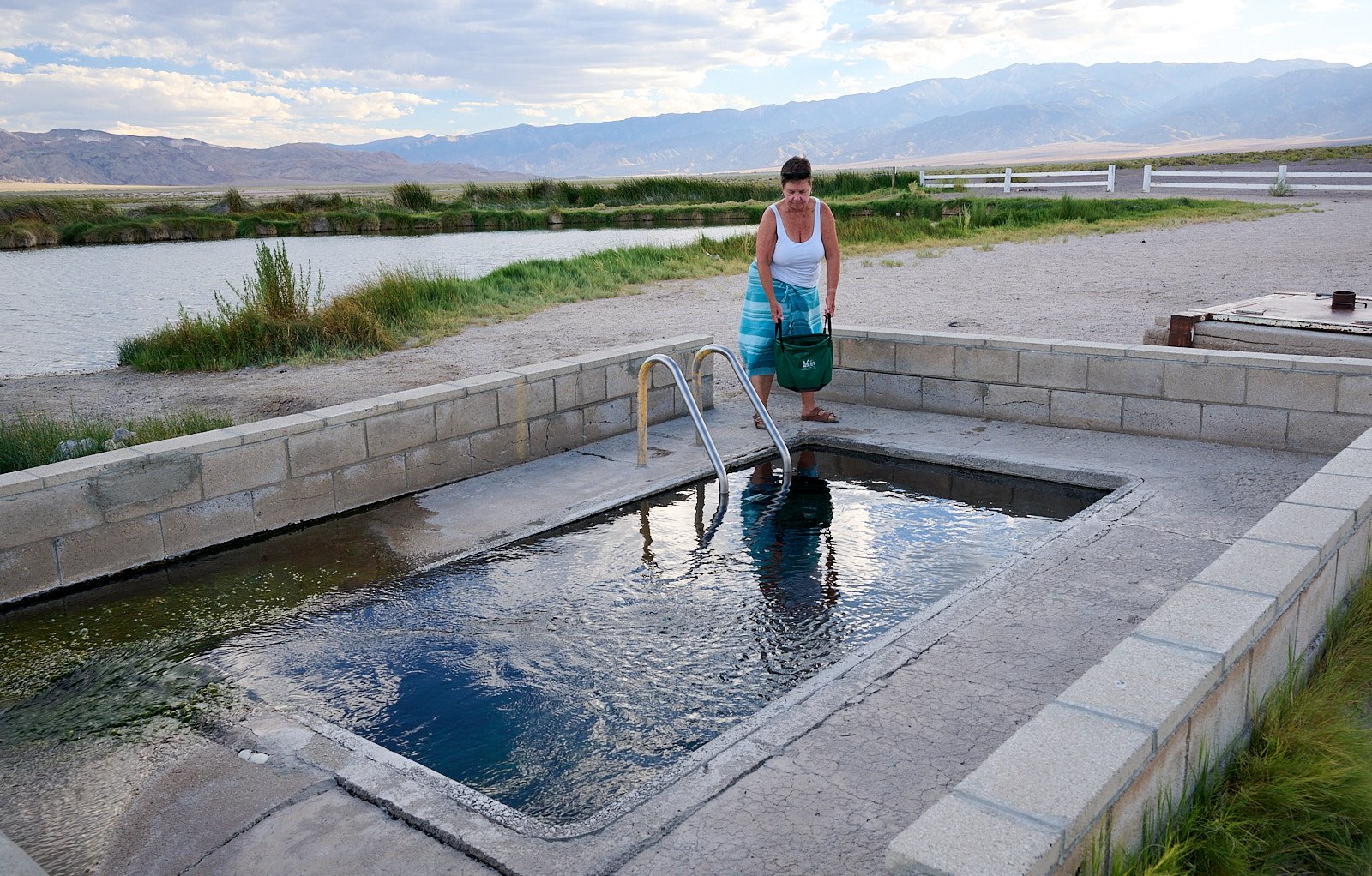
Fish Lake Hot Well
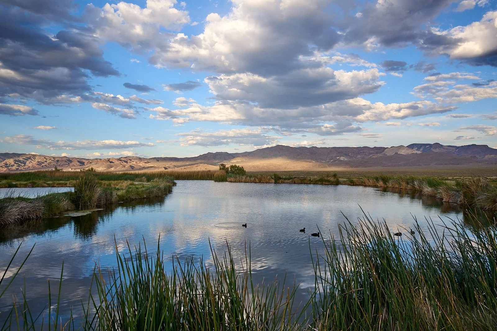
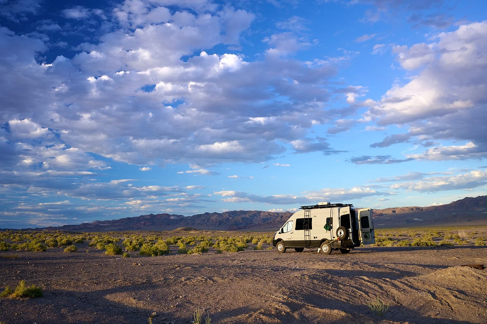
In the 1880s ranchers drilling for oil in Fish Lake Valley tapped into a hot spring. Improvements were made over the years and now the area is maintained by Esmeralda County, Nevada. Dispersed camping is permitted.
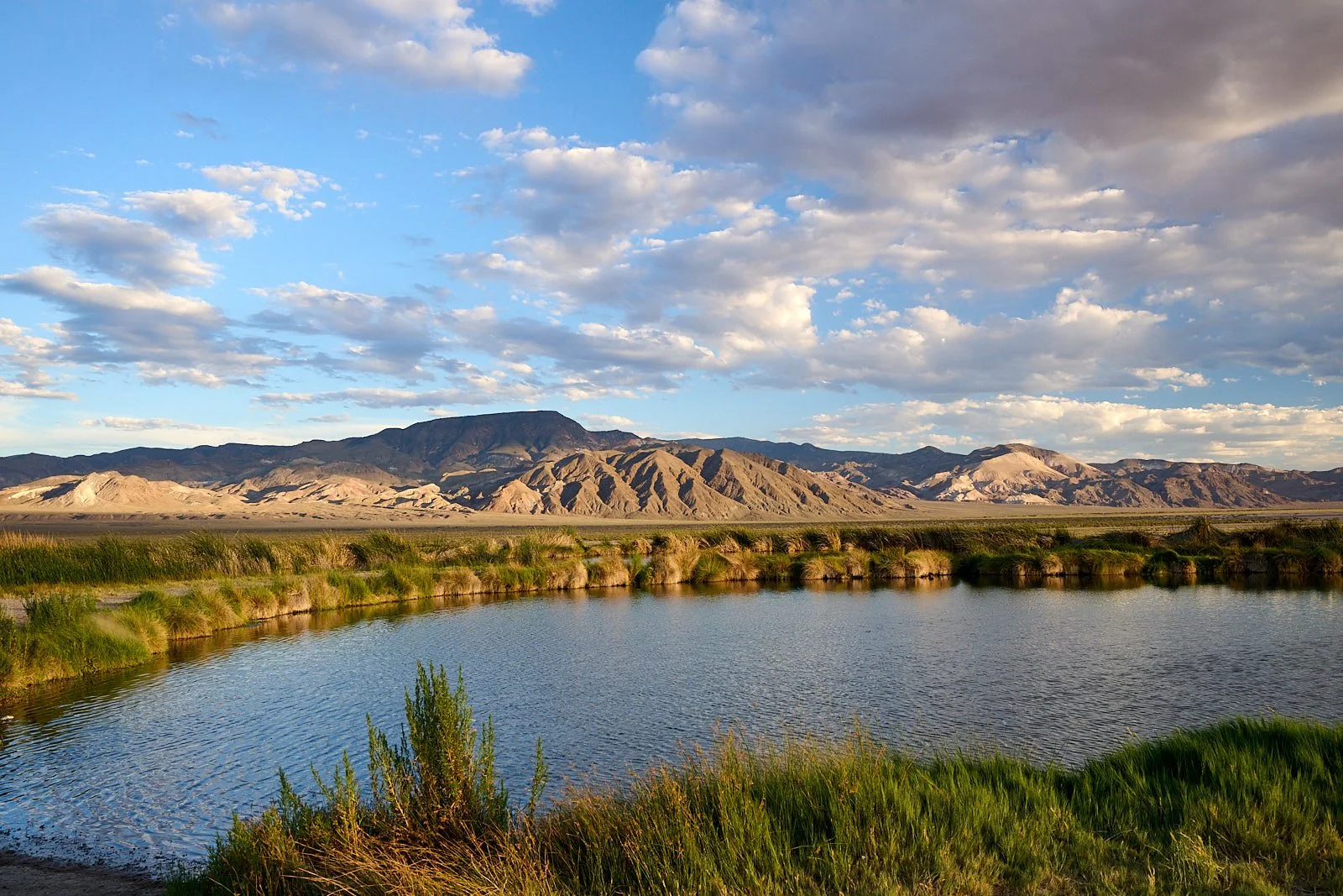
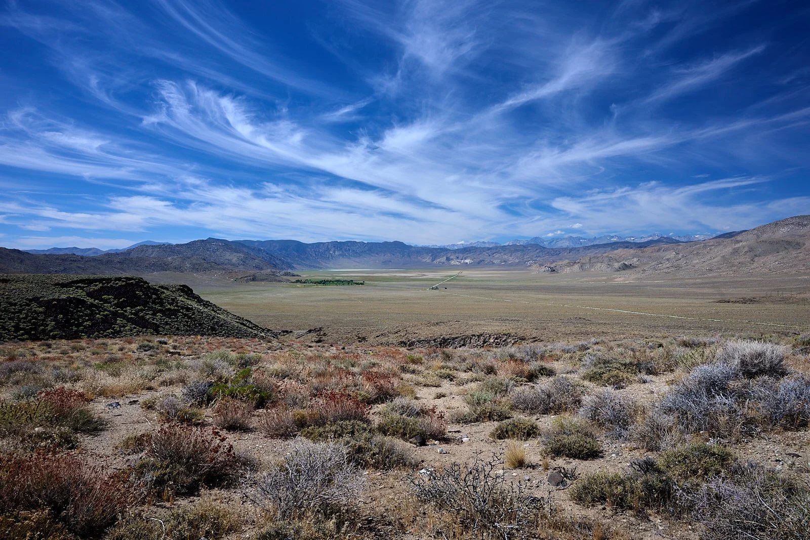
Basin and Range
Nevada is one of the best examples in the world of Basin-and-Range topography (termed Horst-and-Graben).
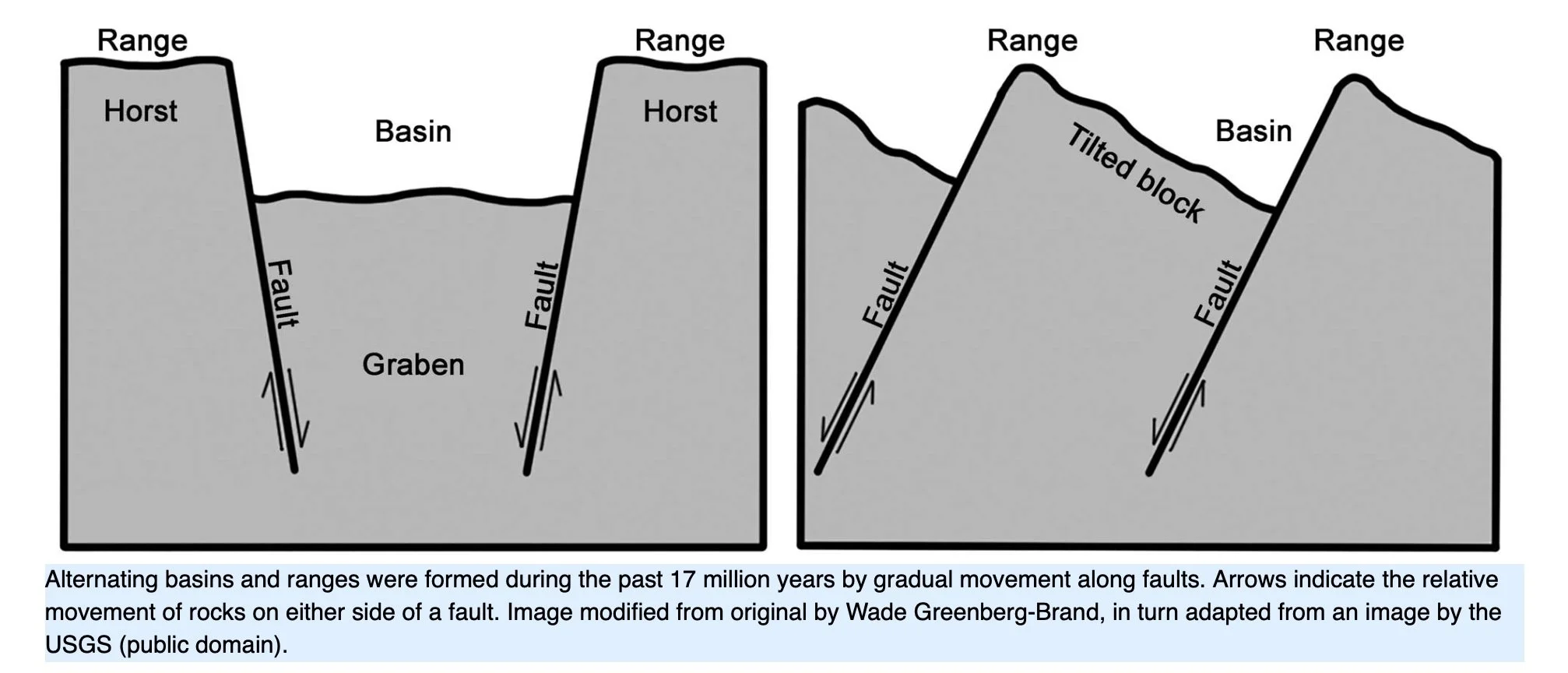
Normal faulting elevates mountain blocks while simultaneously downfaulting the basin blocks. Normal faults result from tension, a stretching force that fractures Earth’s crust into numerous blocks and allows the terrain to be lengthened in a direction perpendicular to the trend of the faults. Nevada’s normal faults (and the resultant basins and ranges) are roughly aligned north-south because the earth is being stretched from east to west.
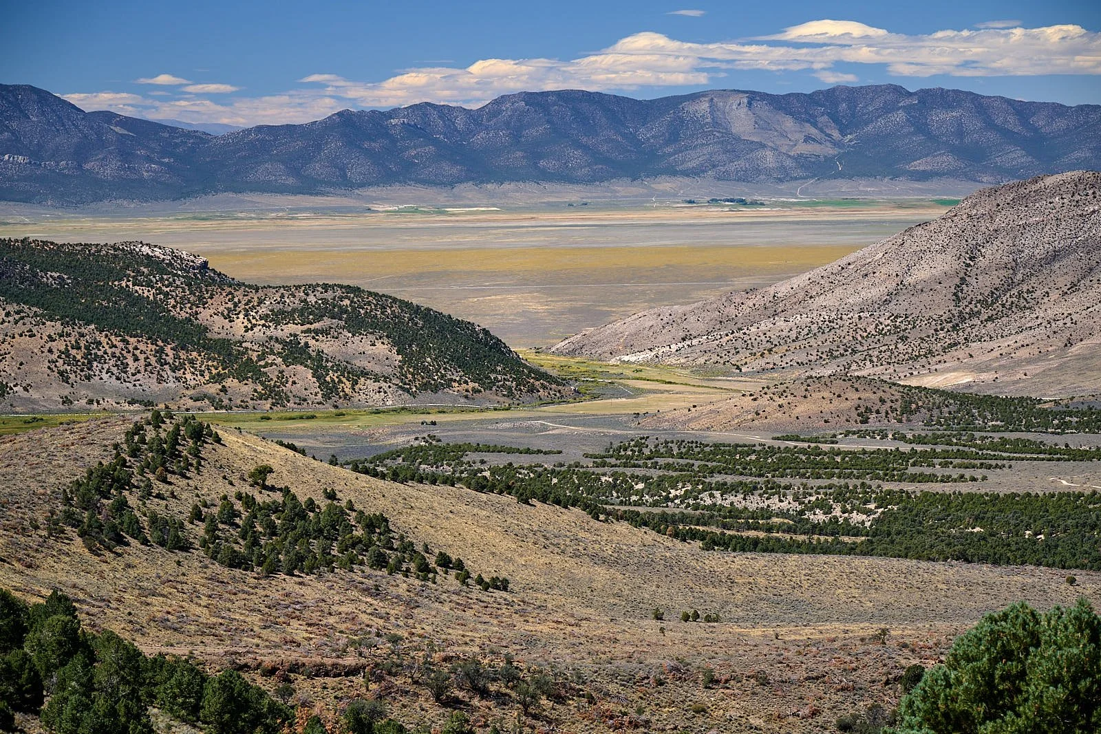
Gallagher Gap, Schell Creek Range.
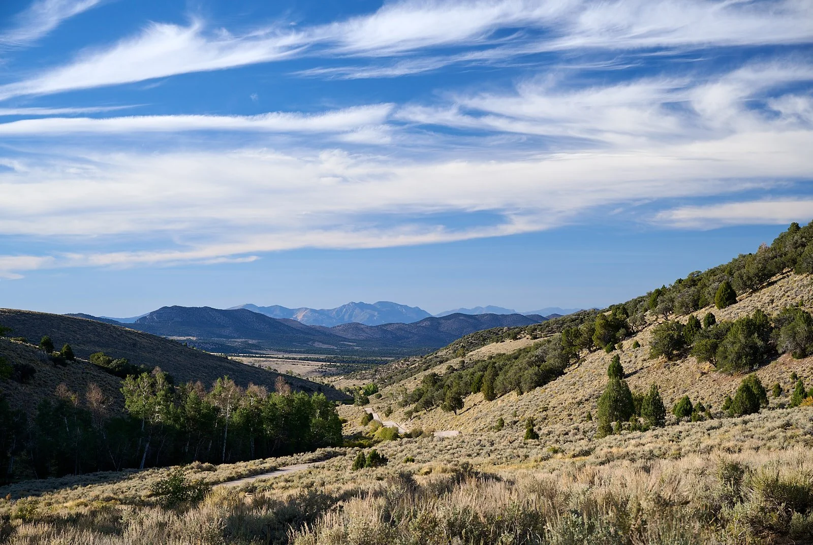
Nearly all of Nevada lies within the physiographic region of western North America known as the Basin and Range Province. The mountain ranges are typically less than 50 miles long and 10-25 miles wide, and rise a few thousand feet above the lowlands. The intervening valleys (basins) are generally of similar lengths to their adjacent mountains but are much broader.
Many of the valleys are completely enclosed with no drainage into adjacent valleys or river systems. Valley pools evaporate completely or become wetlands that fluctuate in size with the seasons. Nearly all of Nevada is within a region called the Great Basin; meaning the drainage is internal, the water never reaches a sea. The few rivers that exist carry water from adjacent highlands to terminal sinks.
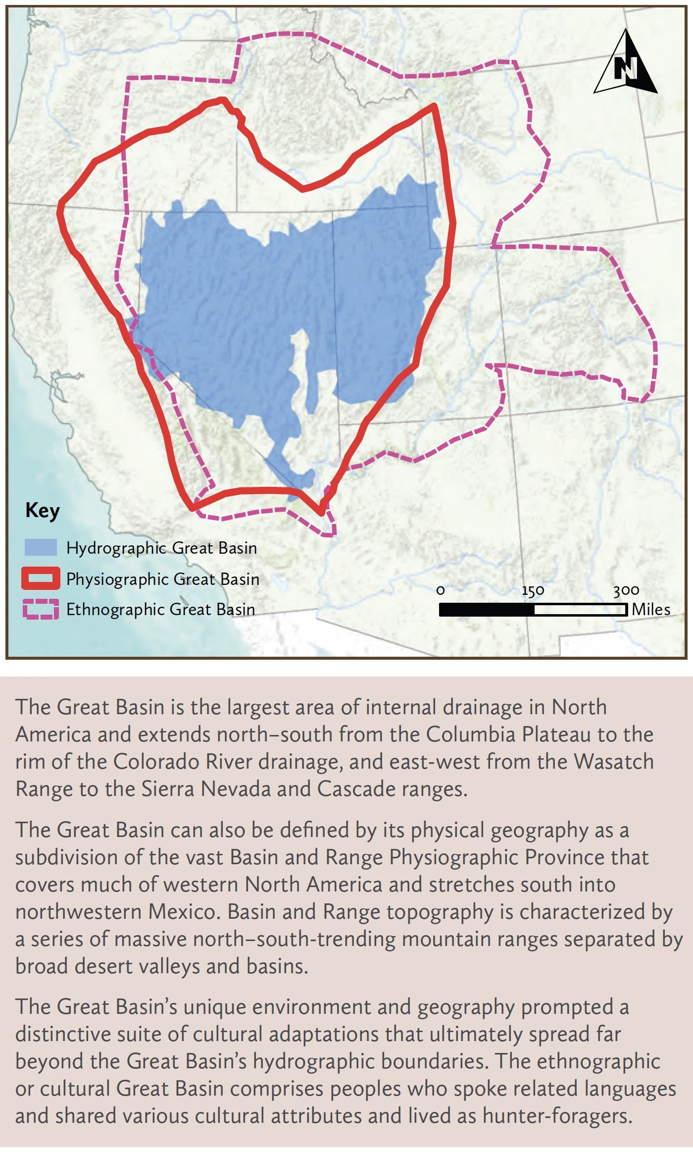
Stretching the Earth
The extension of the Nevada portion of the Basin and Range Province began approximately 40-30 million years ago, and since that time the region’s crust has been stretched by 100%. The Basin and Range is being pulled to the west relative to the more stable eastern parts of the continent such as the Rocky Mountains and Colorado Plateau.
The Pacific Plate is moving to the northwest and the North American Plate is sliding to the southwest – a transform fault boundary (California’s San Andreas fault). The yearly movement between the two plates is about 2”.
The entire western edge of North America inland from the San Andreas fault system is being slowly sheared from the stable parts of the continent to the east and is heading northwest to become an island off the coast of British Columbia. Eastern Nevada is being stretched to the west at a rate of about 1-2 mm per year. In western Nevada (for example, Fish Lake Valley), the rate increases to as much as 12 mm per year. This area, called Walker Lane, has numerous strike-slip faults, which involve lateral displacement of rock masses (normal faults cause vertical displacement). About 25% of the motion between the Pacific and North American Plates is accommodated by the strike-slip faults in Walker Lane, while the remainder is distributed across the San Andreas fault system.
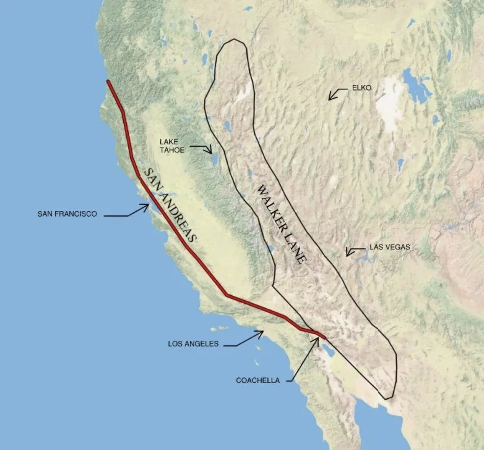
Map showing the Walker Lane and the San Andreas fault systems - their movements are stretching Nevada to the west, causing Basin and Range topography.
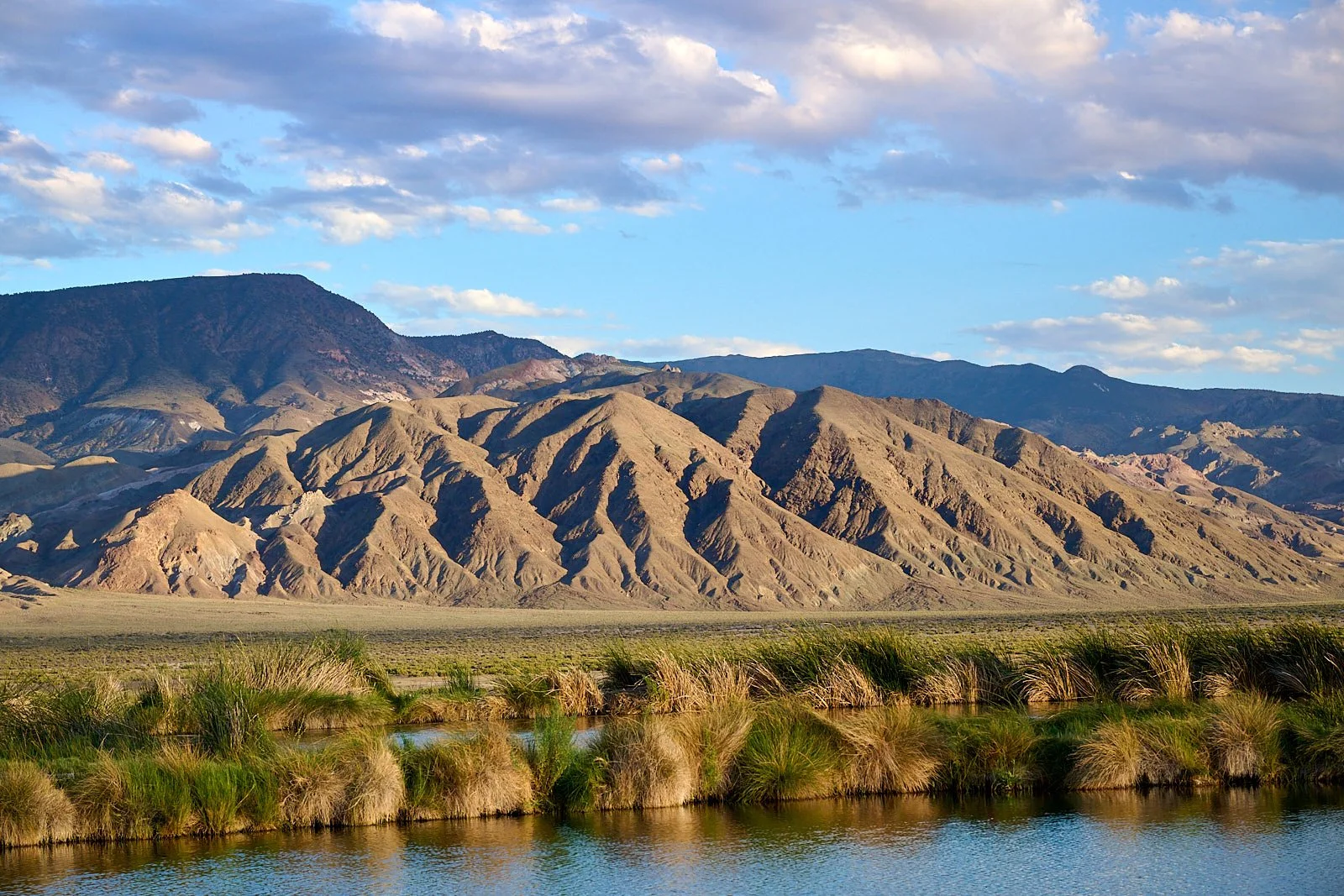
Rhyolite Ridge is part of the Silver Peak Range on the eastern border of Fish Lake Valley.
Lithium mines
Lithium is used in batteries for electric vehicles and energy storage. Today, the U.S. has only one operating lithium mine. By 2030, at least six new mining projects are predicted to be extracting lithium from American soil and another 13 will soon follow.
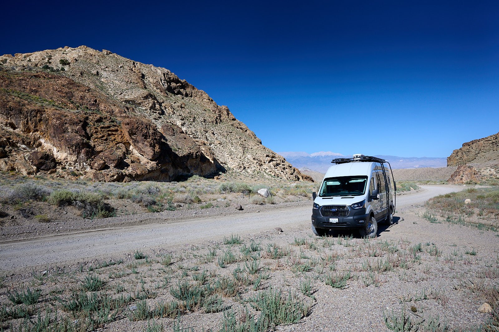
Entering into Rhyolite Ridge
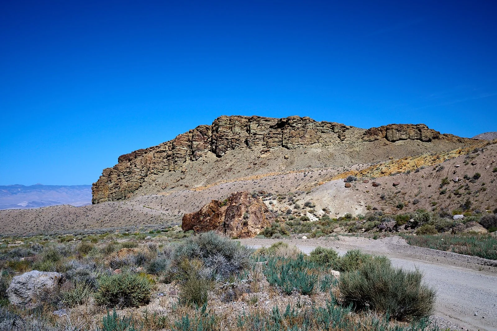
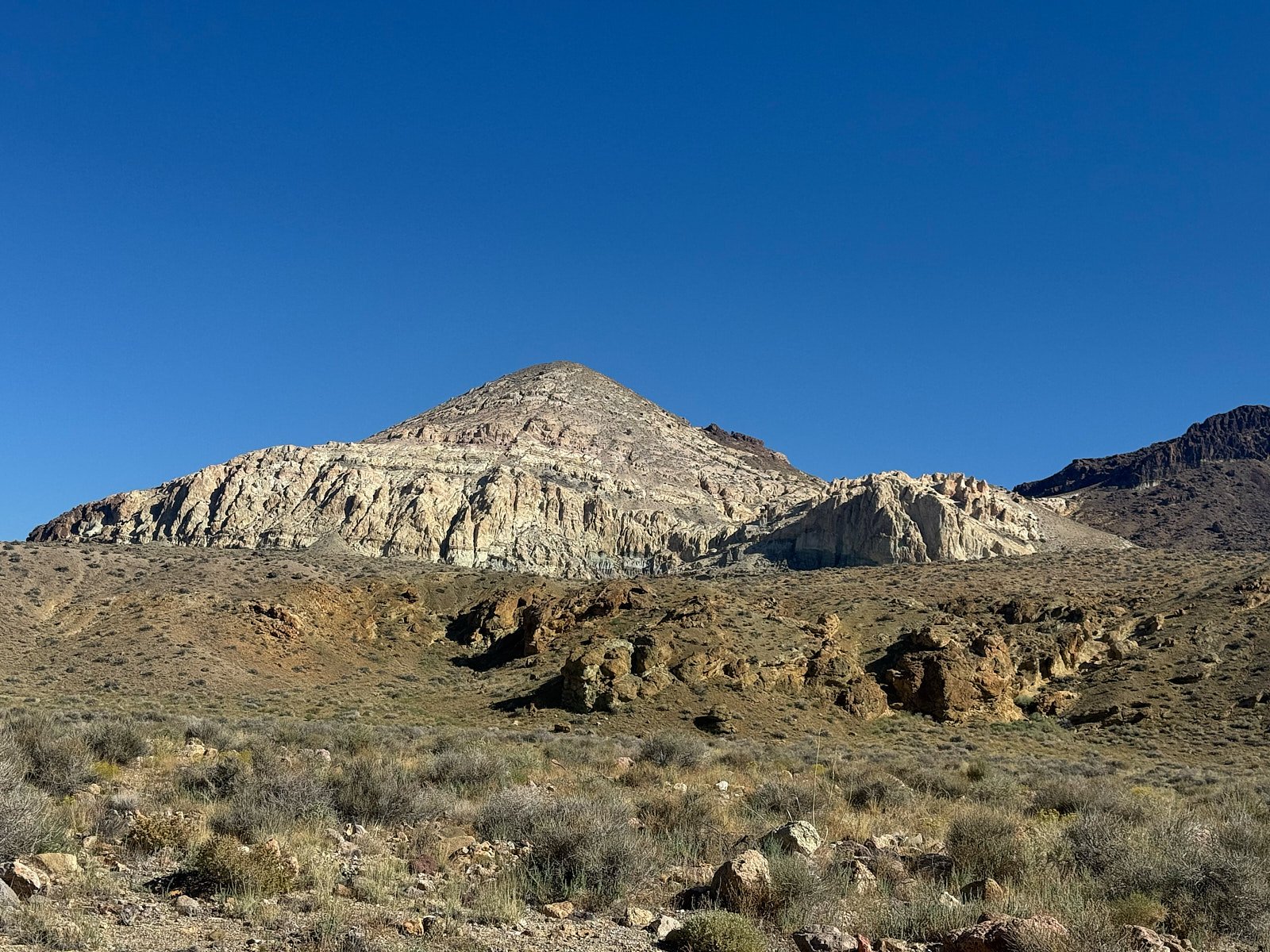
Rhyolite Ridge is 5 miles down a dirt road from where we camped at Fish Lake Hot Ditch. Its hillsides support the world’s only population of Tiehm’s buckwheat (Eriogonum tiehmii) which is protected under the Endangered Species Act. Rhyolite Ridge is also the site of a fully approved lithium open-pit mine owned by Ioneer Ltd, an Australian company. Can conservation and development co-exist?
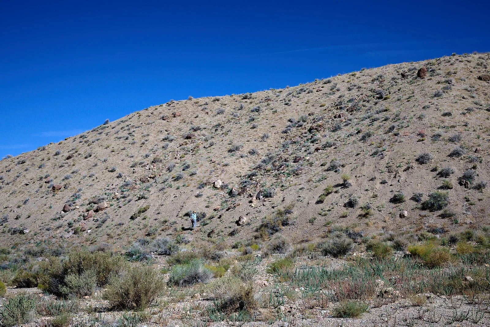

Territorial discussion
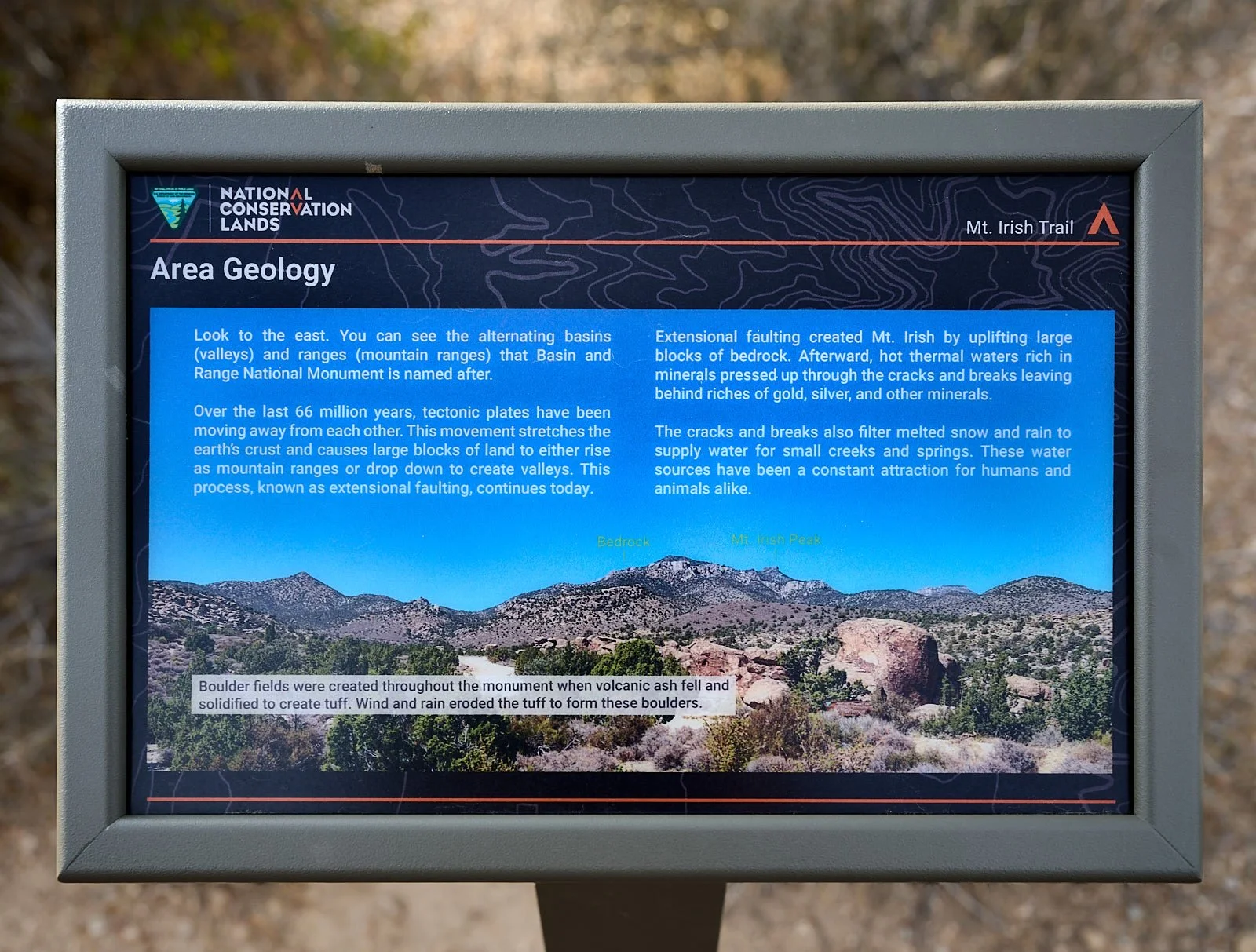
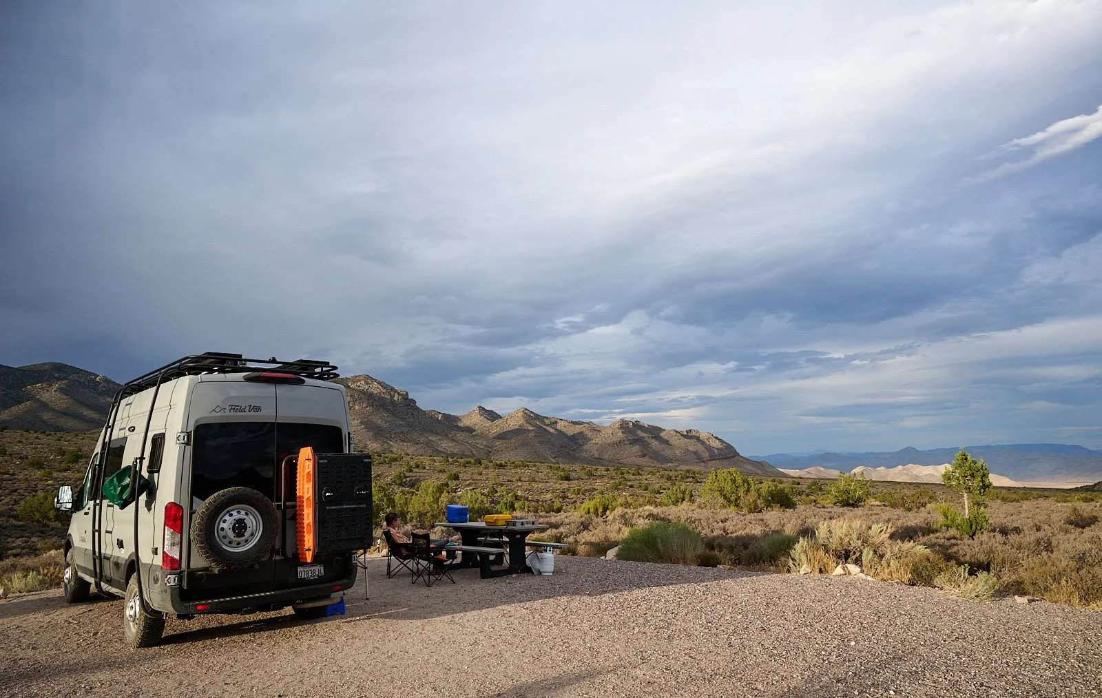
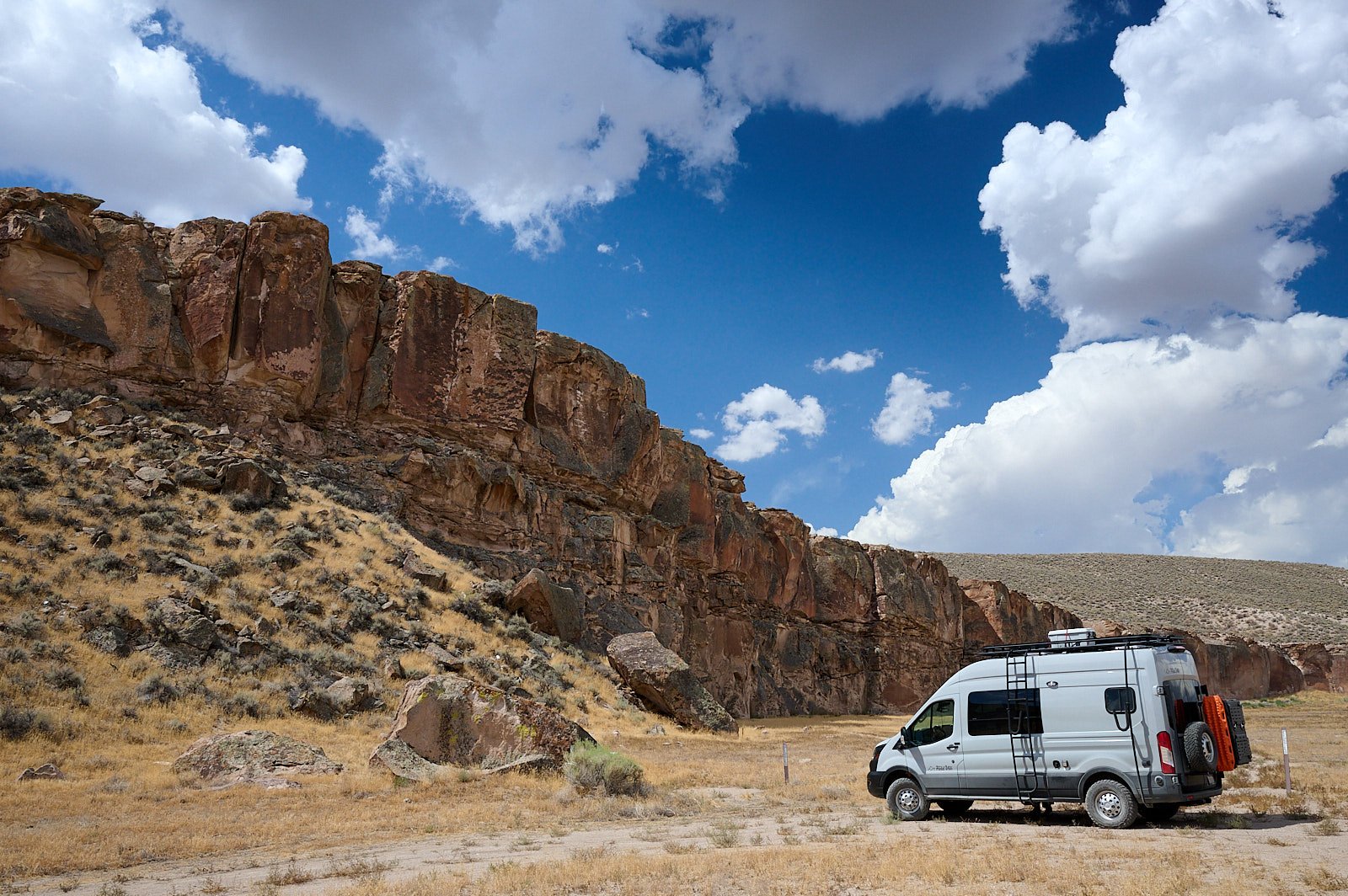
Irish Mountain, Great Basin National Monument (elevation 5,480 feet)
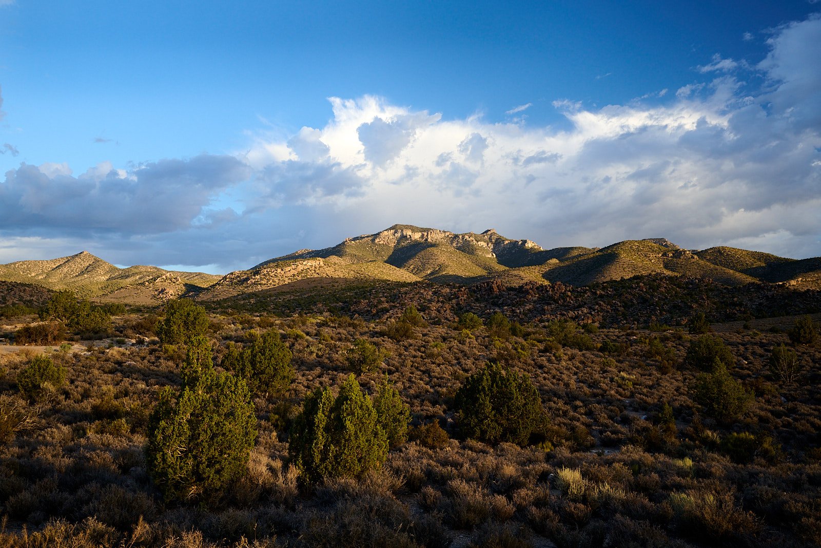
Irish Mountain, viewed from our campsite.
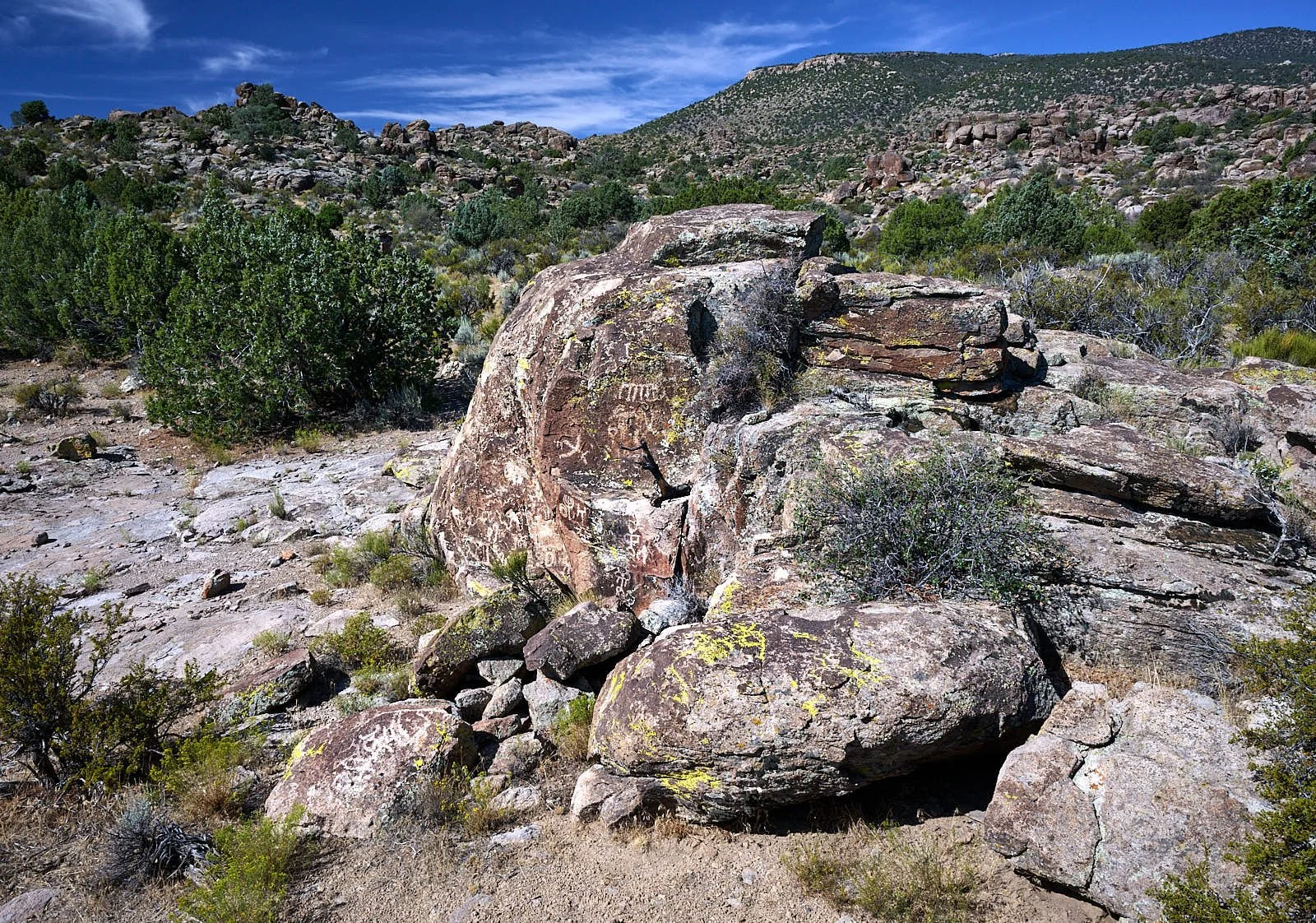
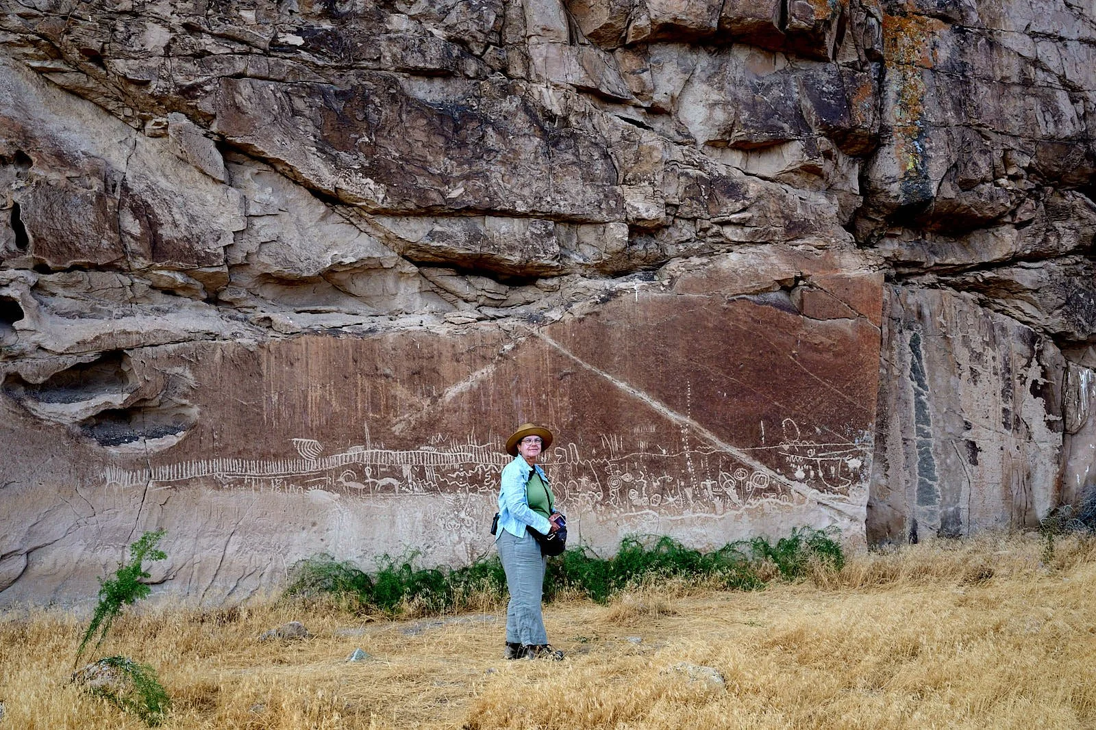
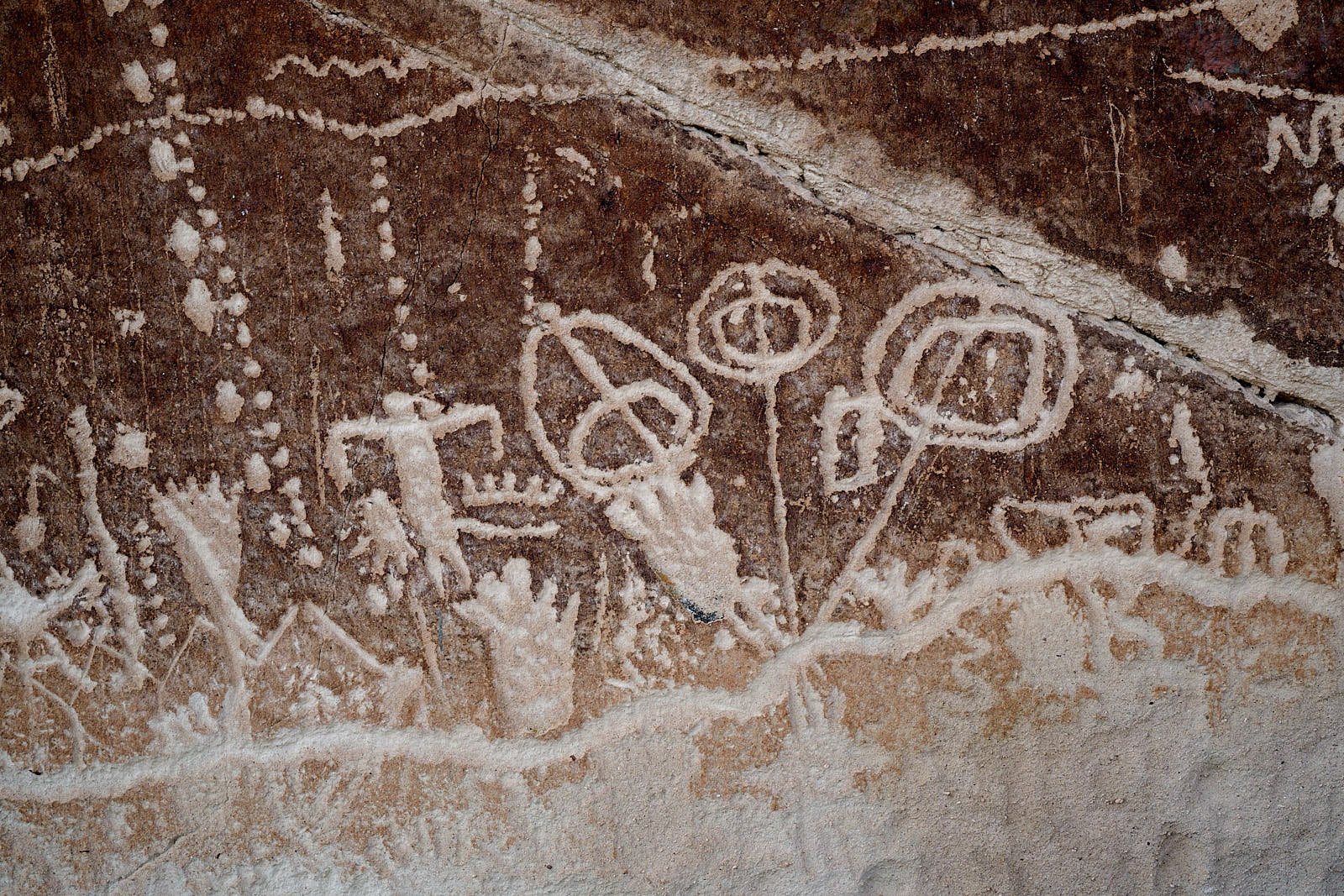
This is one of our favorite areas in Nevada. It is an exquisite blend of bold landscapes, intimate river washes, pink-hued cliffs, and ancient rock art.
What’s more, it has profound solitude. We have not encountered another camper whenever we’ve stayed there.
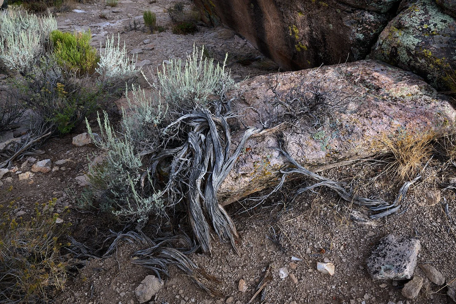
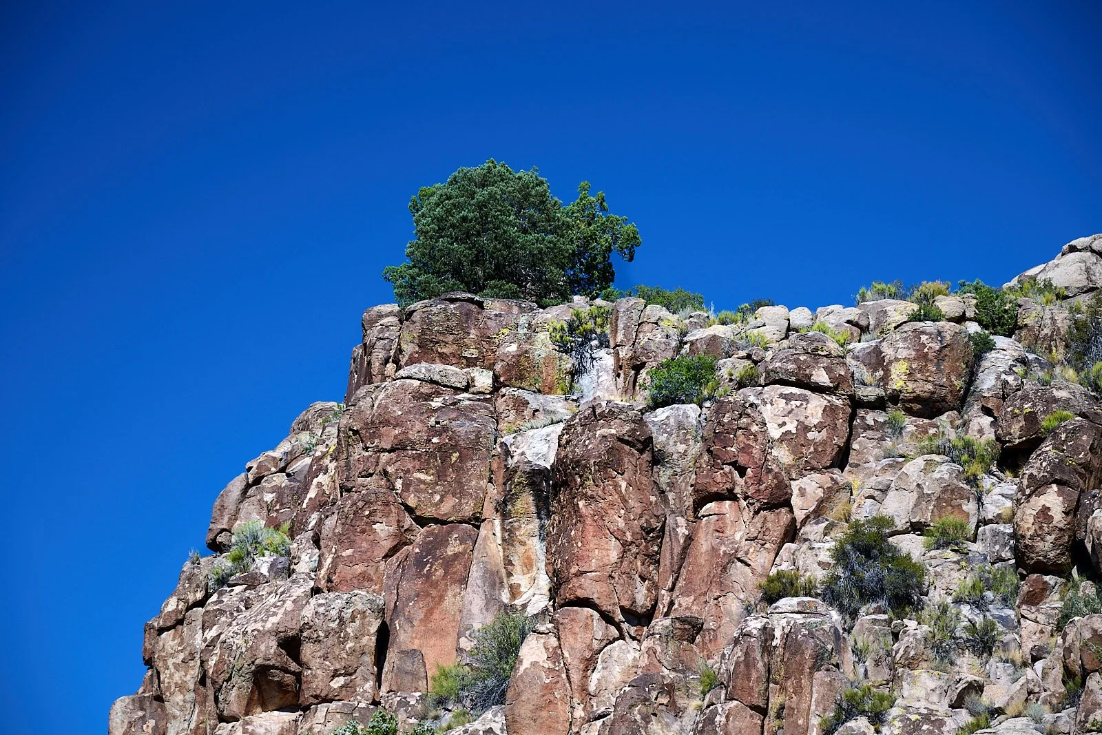
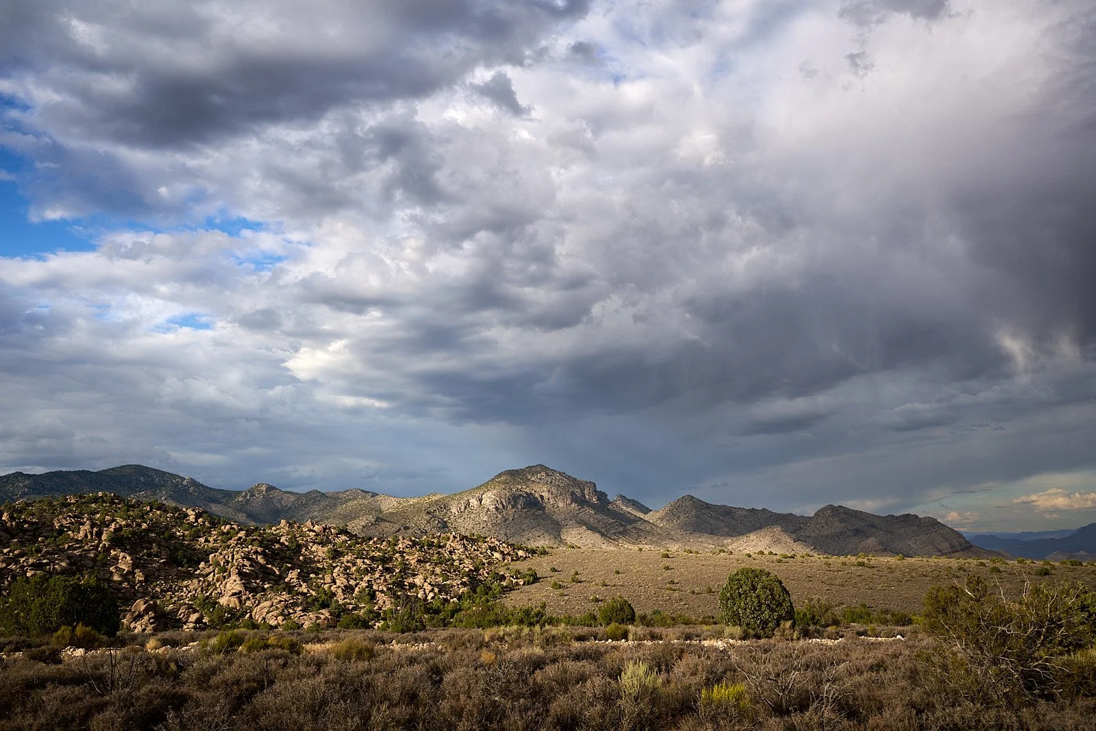
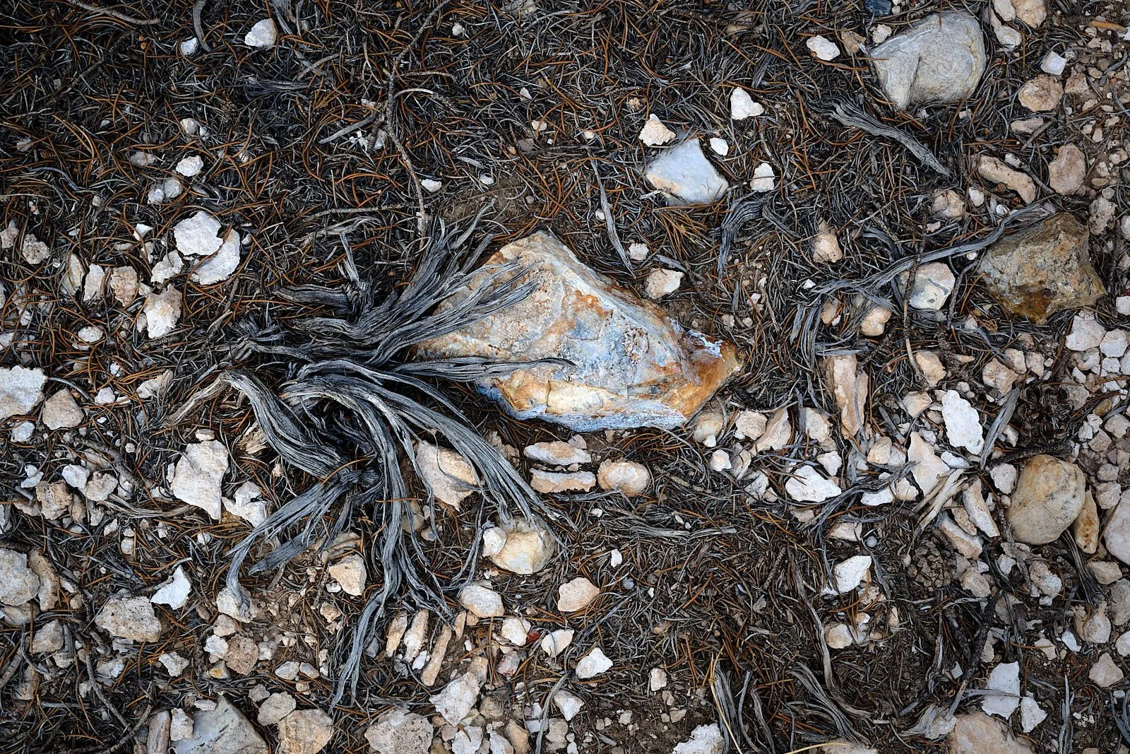
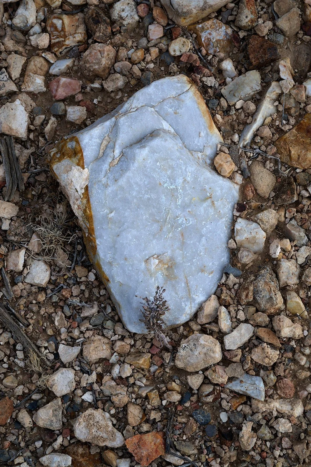
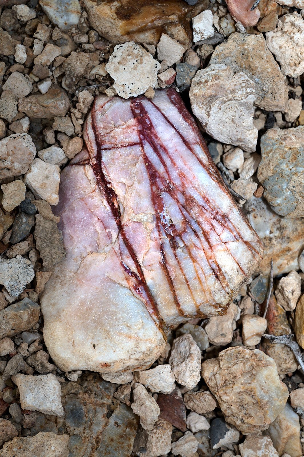
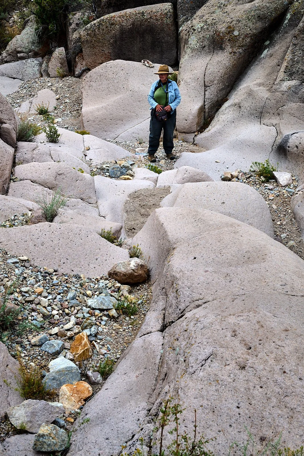
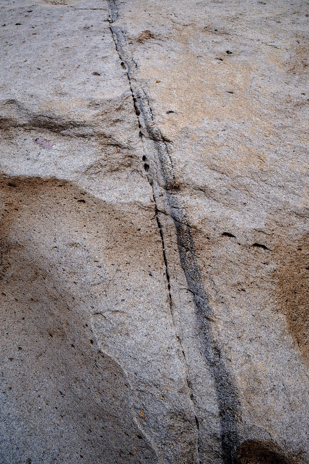
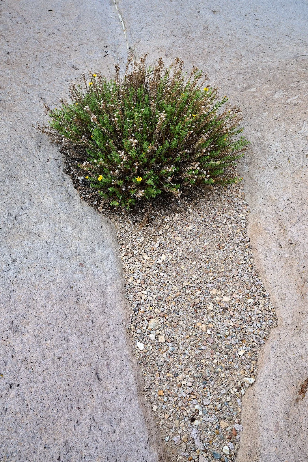
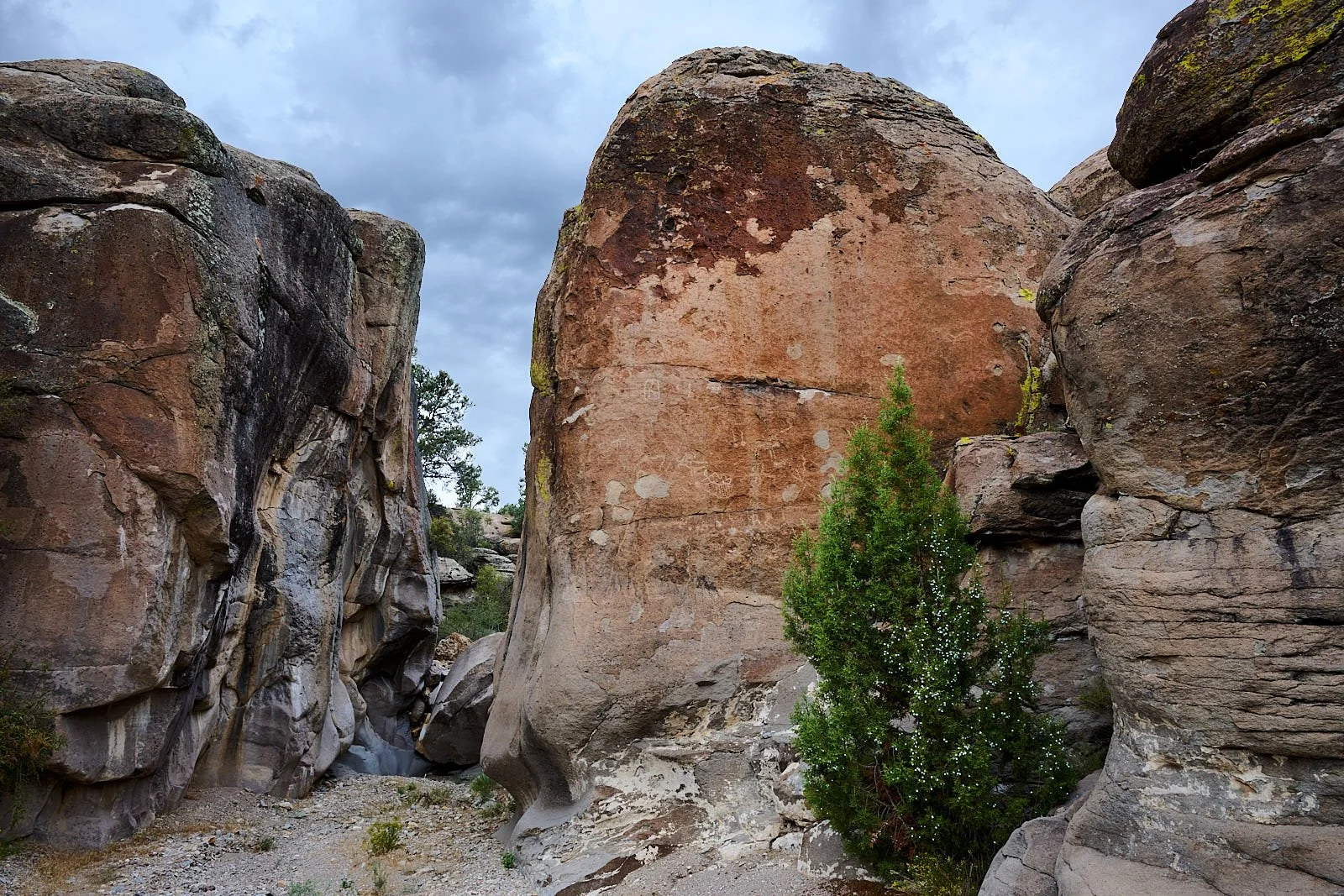
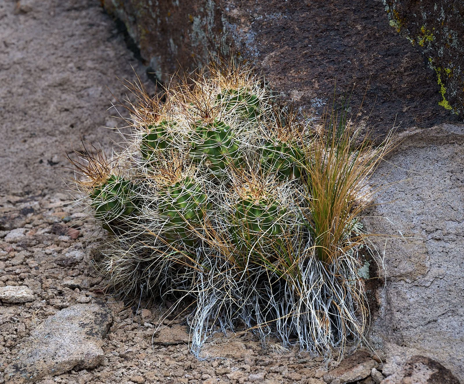
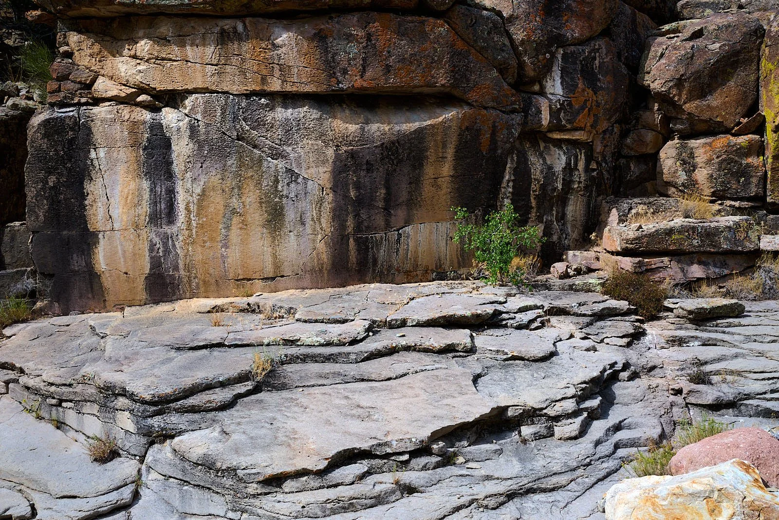
Archeology
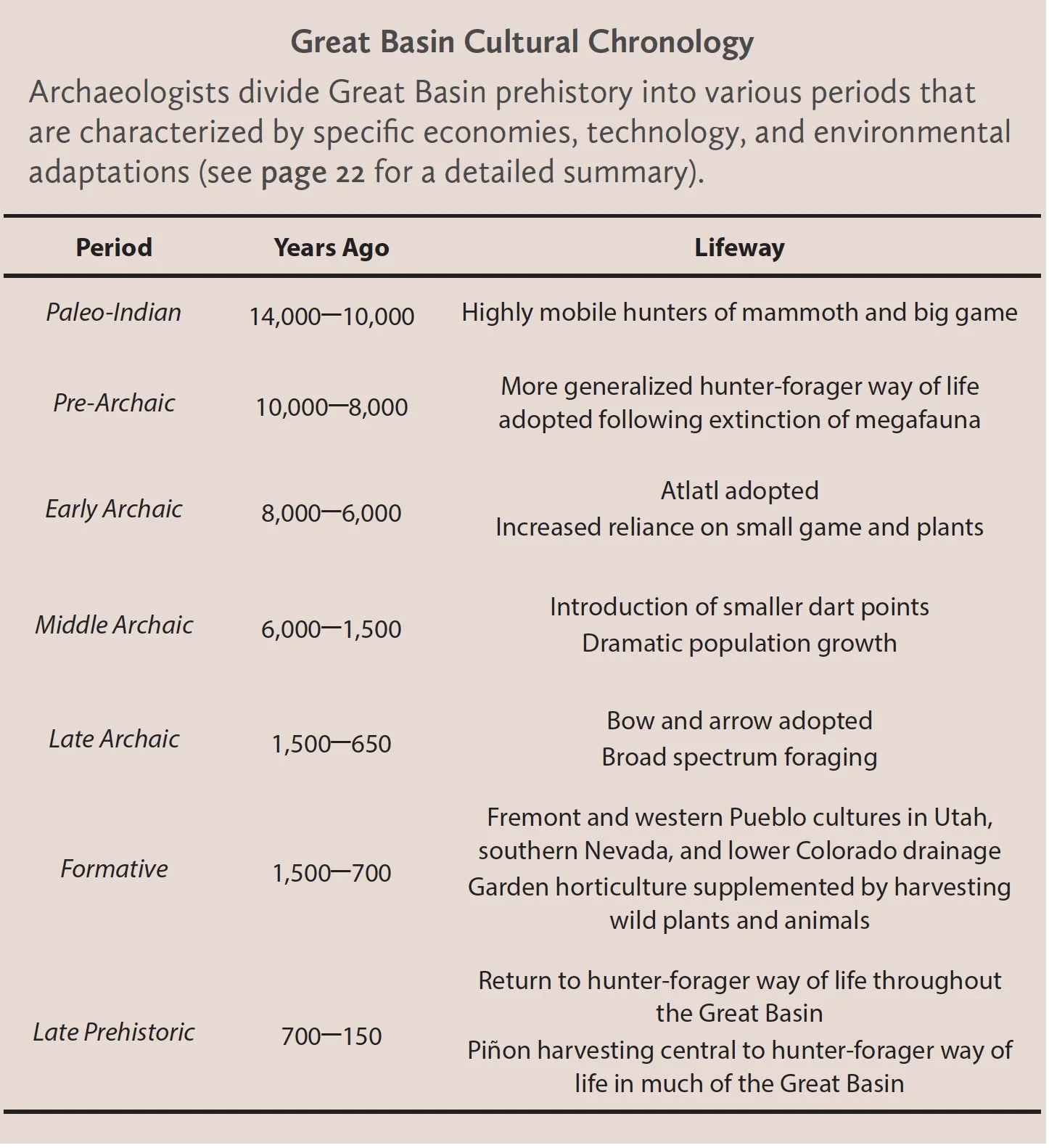
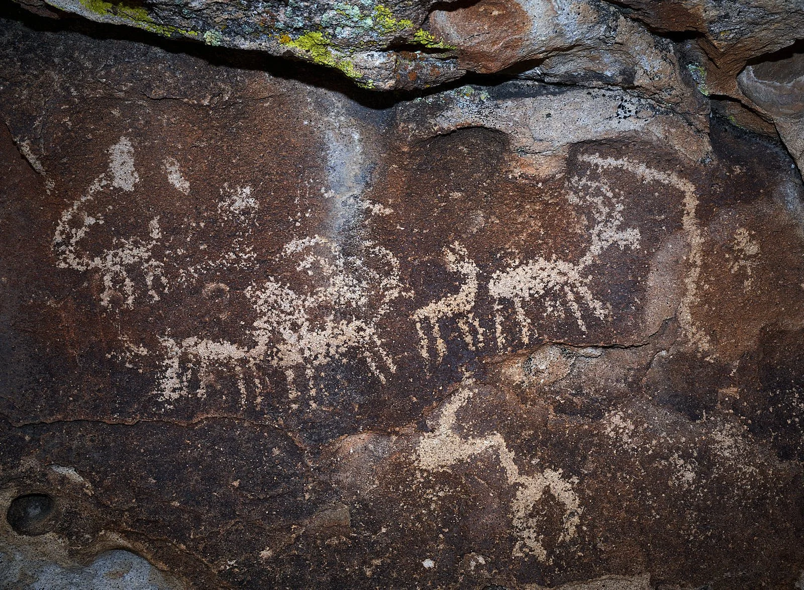
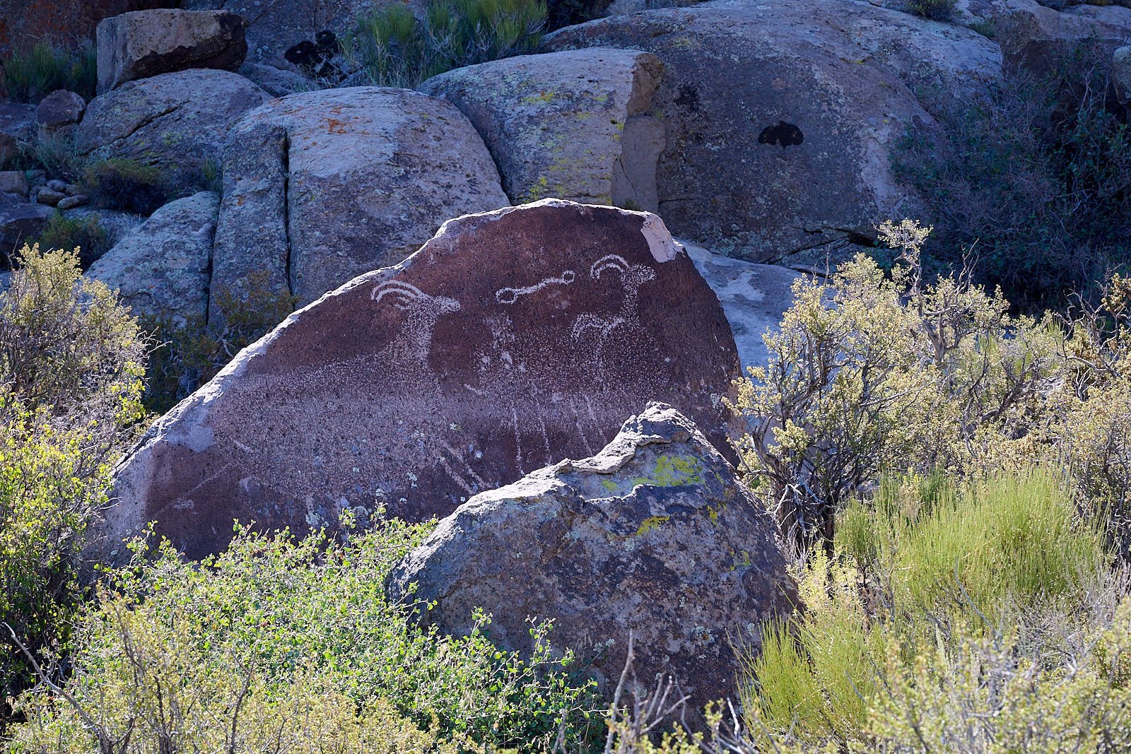
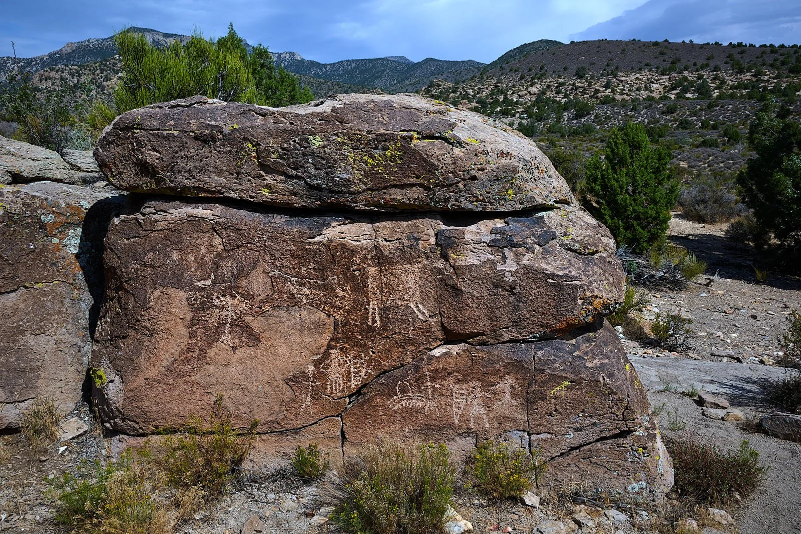
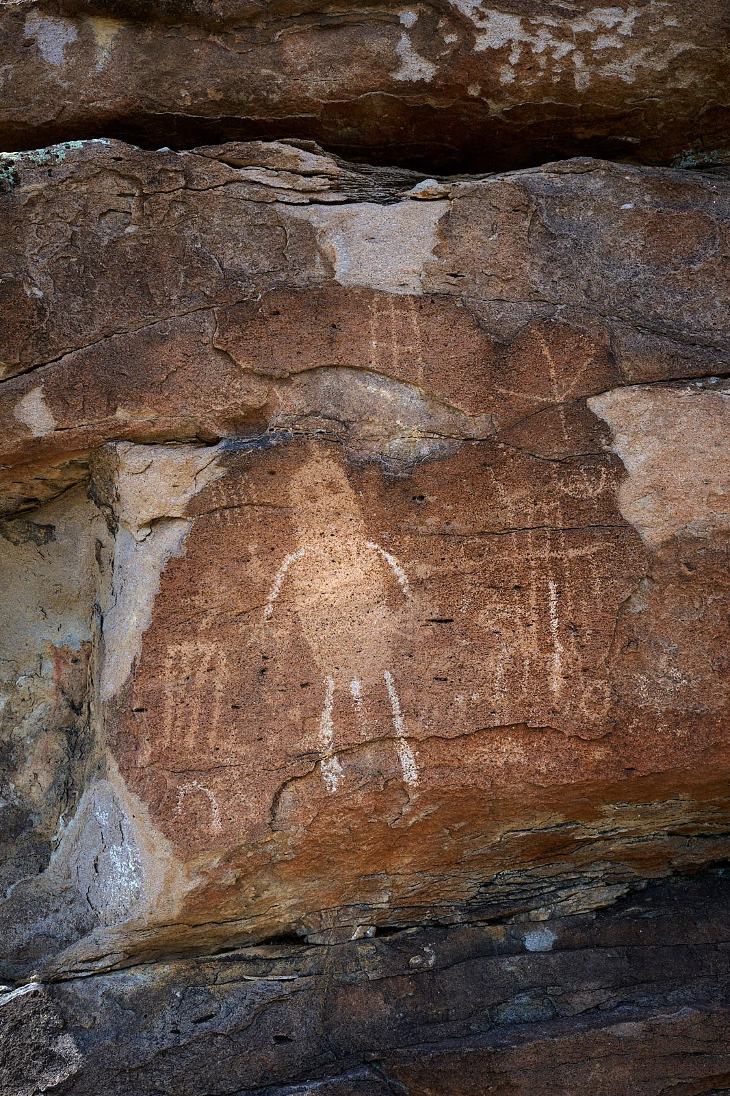
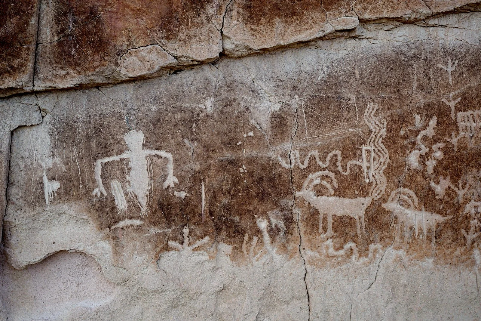
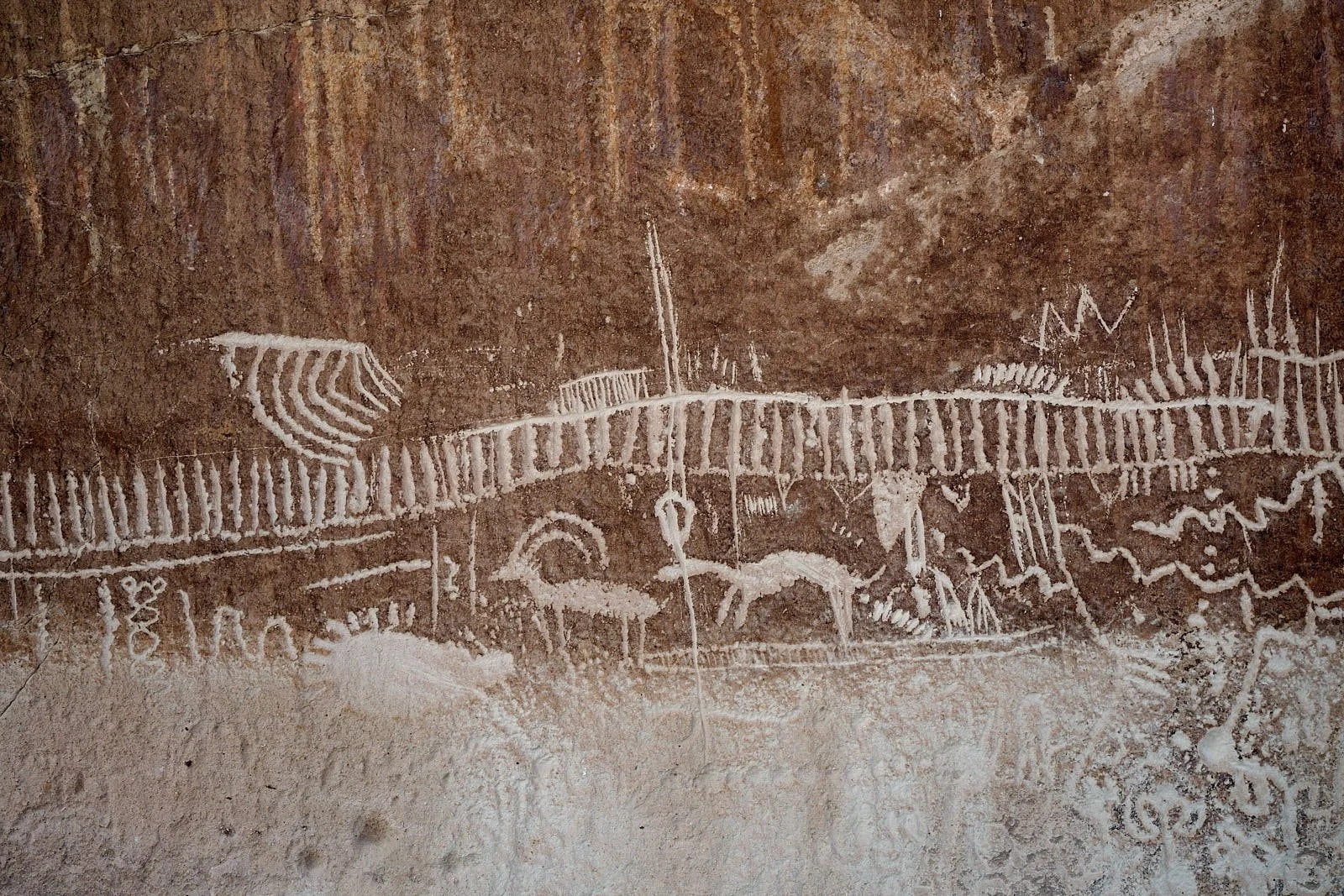
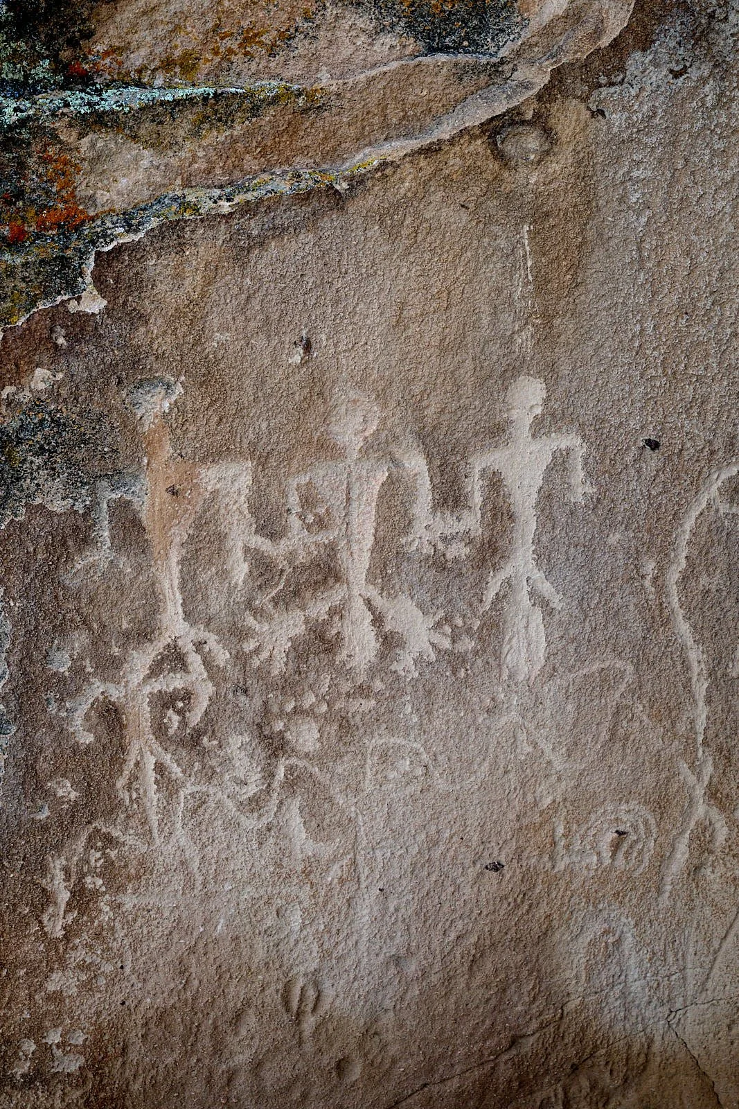
The area was used by hunter-foragers from the Middle Archaic through the Late Prehistoric. Many rock art sites are accompanied by the remains of campsites and foraging activities. Rockshelters, middens, stone tools, and tool fragments show that rock art accompanied the daily routines of the family camp. The Mount Irish area has fine examples of Pahranagat Style anthropomorphs as well as one of the largest concentrations of bighorn sheep images in Nevada.
Art in the landscape
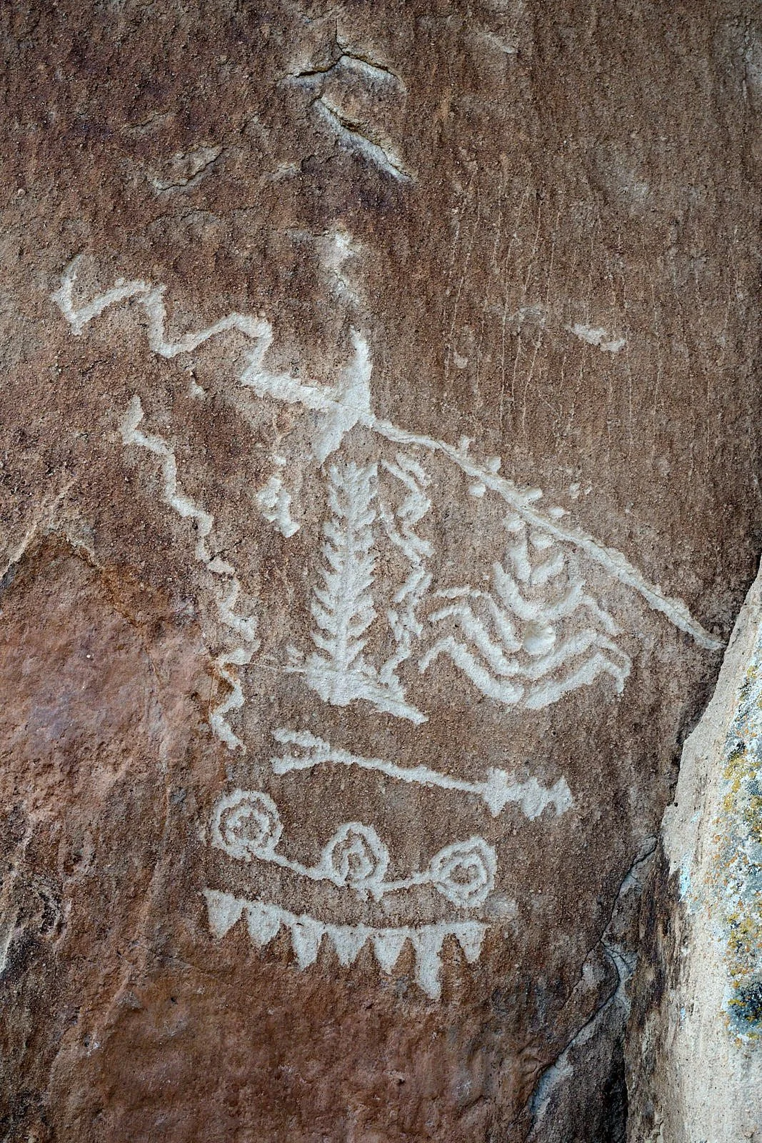
Rock art imagery tends towards abstraction and schematism. It was a type of symbolism that communicated a wide range of cultural concepts. Those concepts likely fluctuated over time, as rock art was reused and reinterpreted by subsequent generations and cultures. For individuals or social groups, being able to demonstrate a special knowledge of rock art’s content (and thus a privileged connection to it) may have been as important as the actual cultural information communicated through its symbolism. Rock art is not a text or narrative to be ‘read’ as it encodes a cultural symbolism, not language. Unlike ancient Egyptian hieroglyphics, for example, rock art is not a pictorial writing system. Rock art motifs are often likened to glyphs (symbols that convey information nonverbally).
All information from The Nevada Rock Art Foundation.
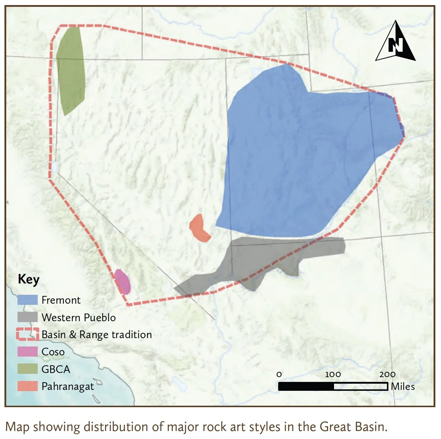
The oldest known rock art sites in North America are at Winnemucca Lake, Nevada and Long Lake, Oregon, and date to perhaps 14,800 years ago. The abstract, deeply-pecked images are called the Great Basin Carved Abstract Style (GBCA) and are found where the earliest permanent human settlement of the Great Basin took place. Figurative or naturalistic depictions of animals and people appear to be a later development. Regional anthropomorph styles emerged in the past 3,000 years, accompanying major social and economic changes in the southeastern Basin.
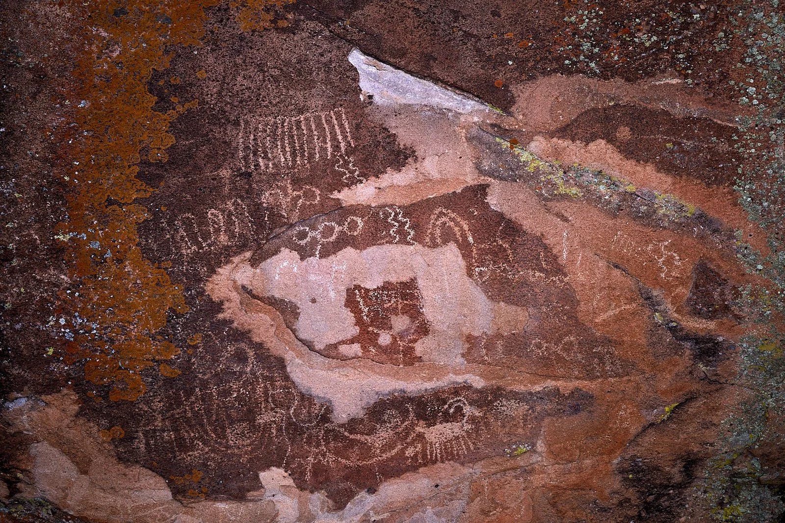
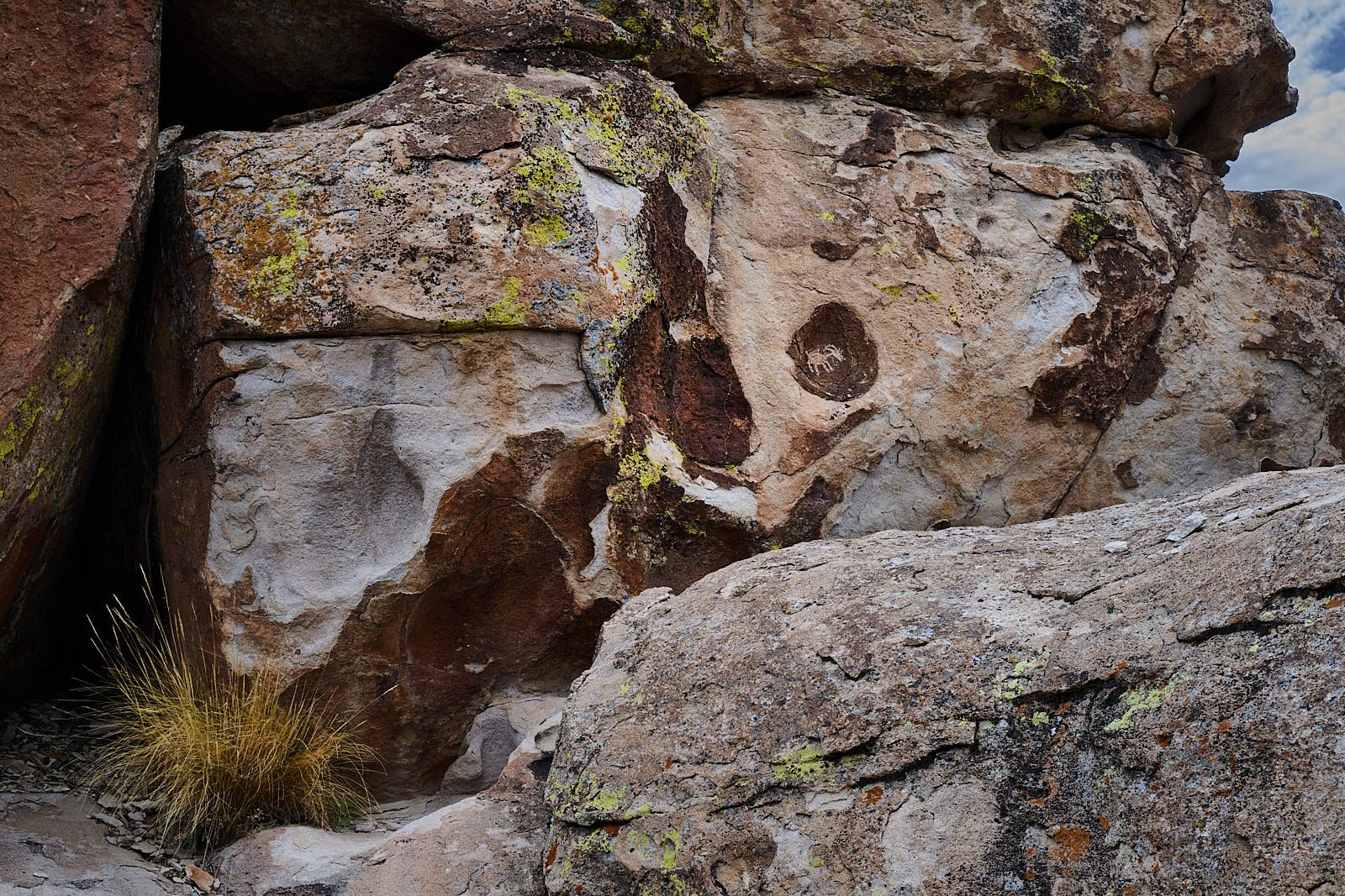
Abstract designs
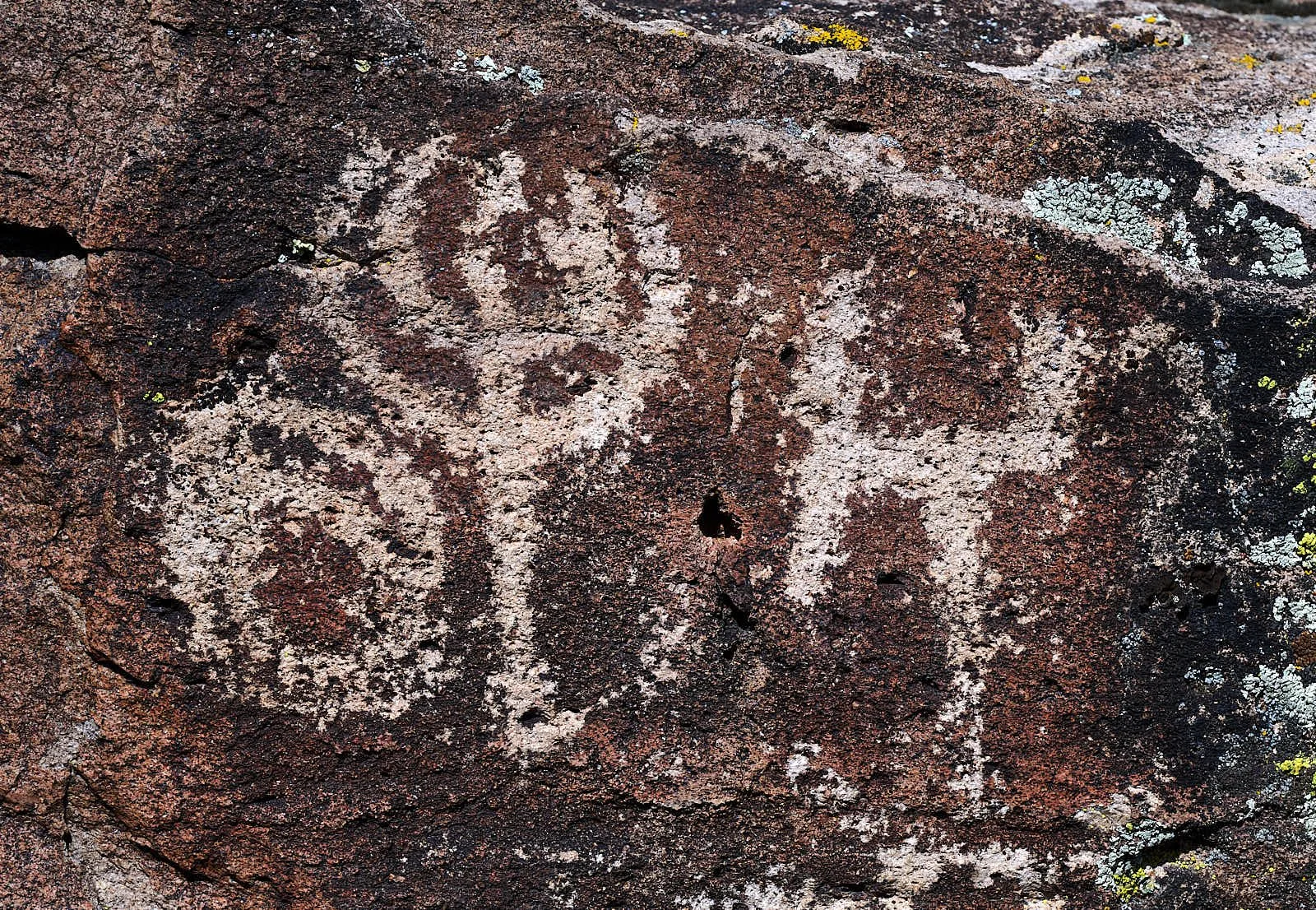
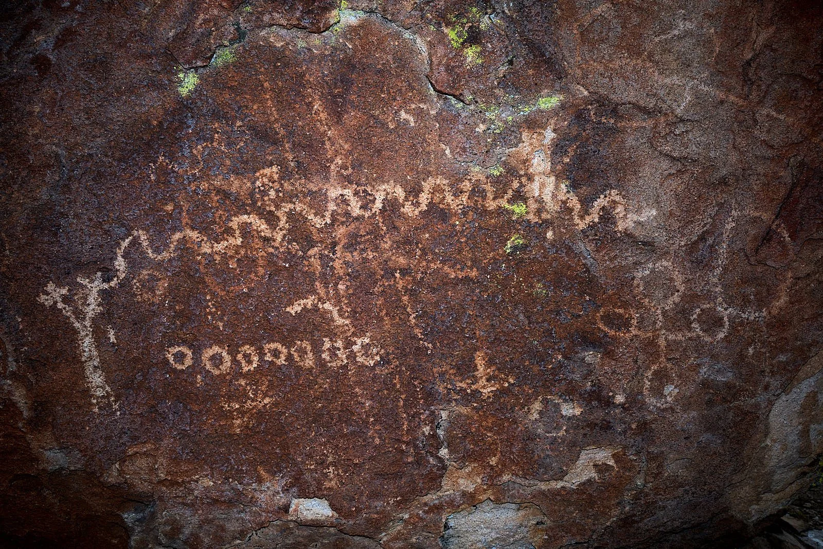
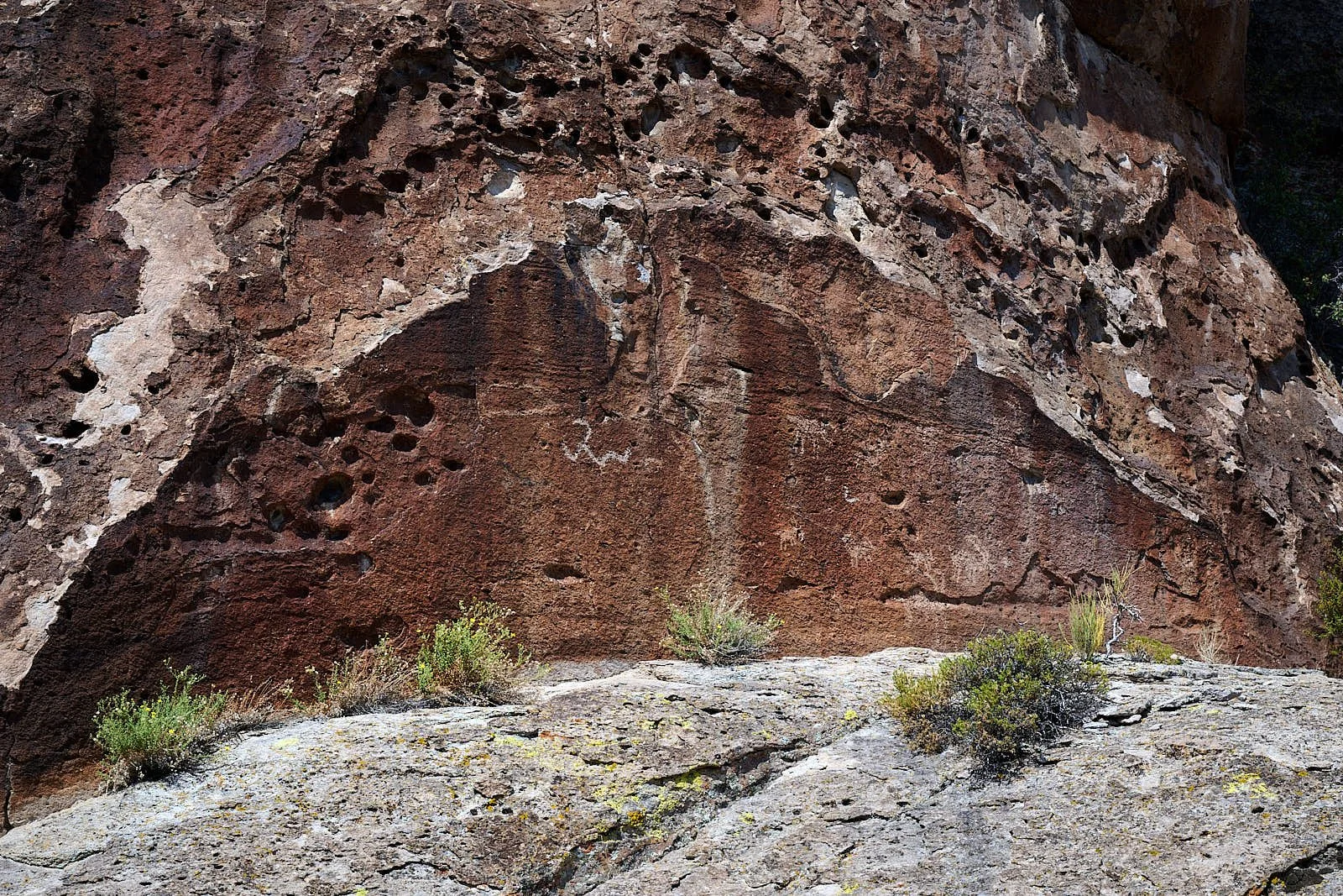
Curvilinear and rectilinear abstract designs are characteristic of the Basin and Range tradition. Curvilinear designs usually predominate, complemented by rectilinear motifs, stick-figure anthropomorphs, and a narrow assortment of animal species.
Animals
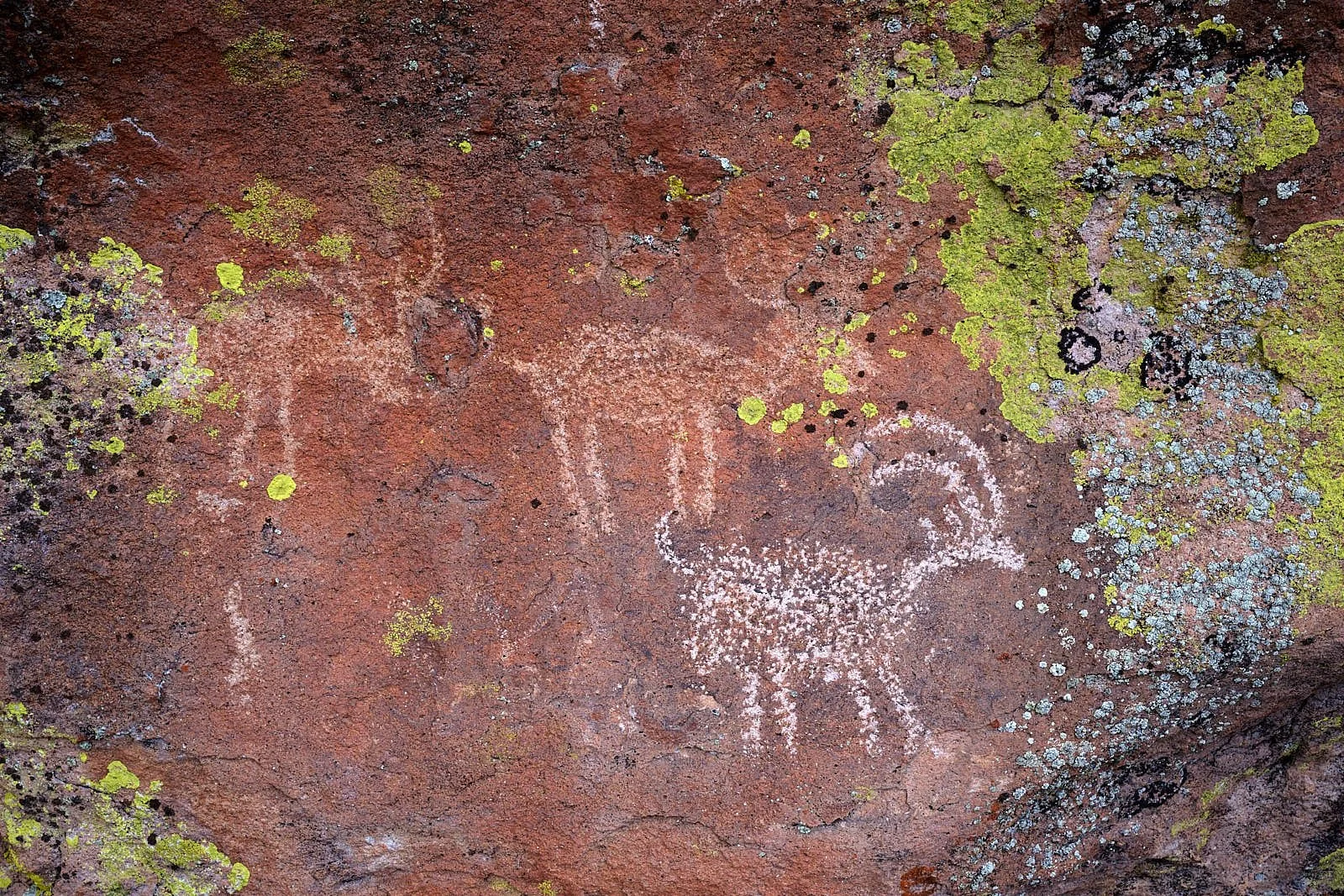
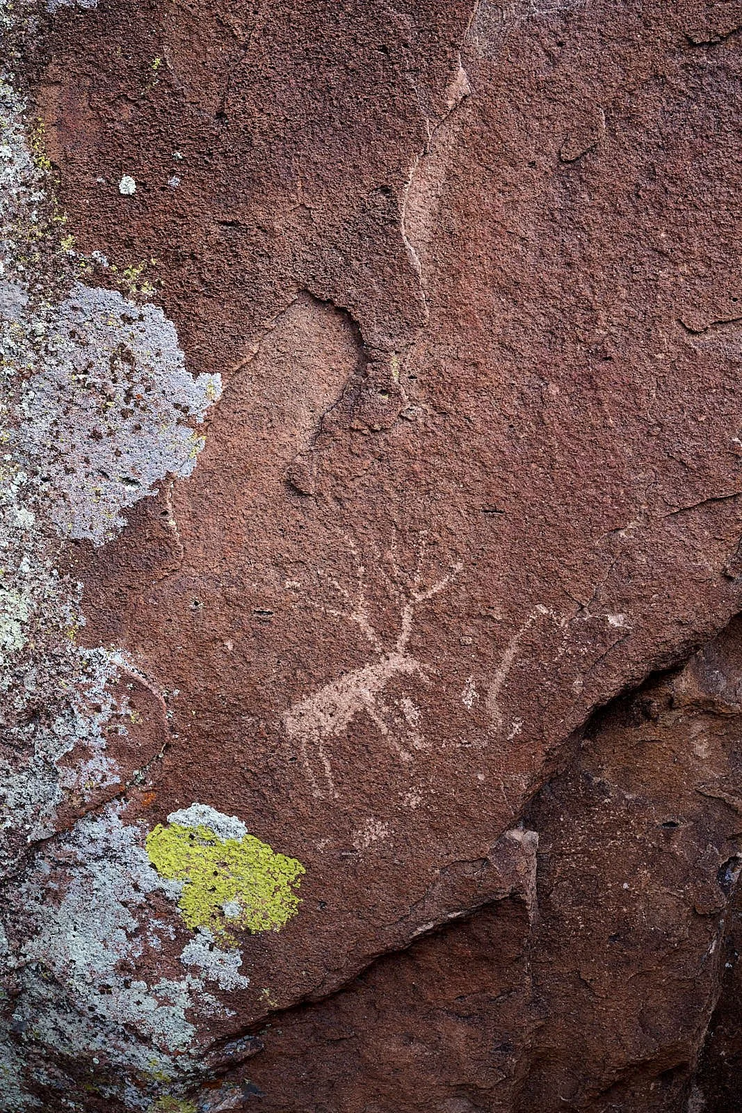
Bighorn sheep are by far the most common animal portrayed in Great Basin rock art, even though hunter-forages hunted a wide range of large and small game. This indicates that animals were depicted for their symbolic significance in cultural thought, rather than reflections of daily life.
Anthropomorphs
The Pahranagat Anthropomorph Style is Nevada’s only unique rock art style and seems to have evolved during the Middle Archaic and flourished in the Late Archaic. This style is evidence that during the Late Archaic hunter-foragers adopted cultural traits associated with neighboring Fremont and western Pueblo cultures.
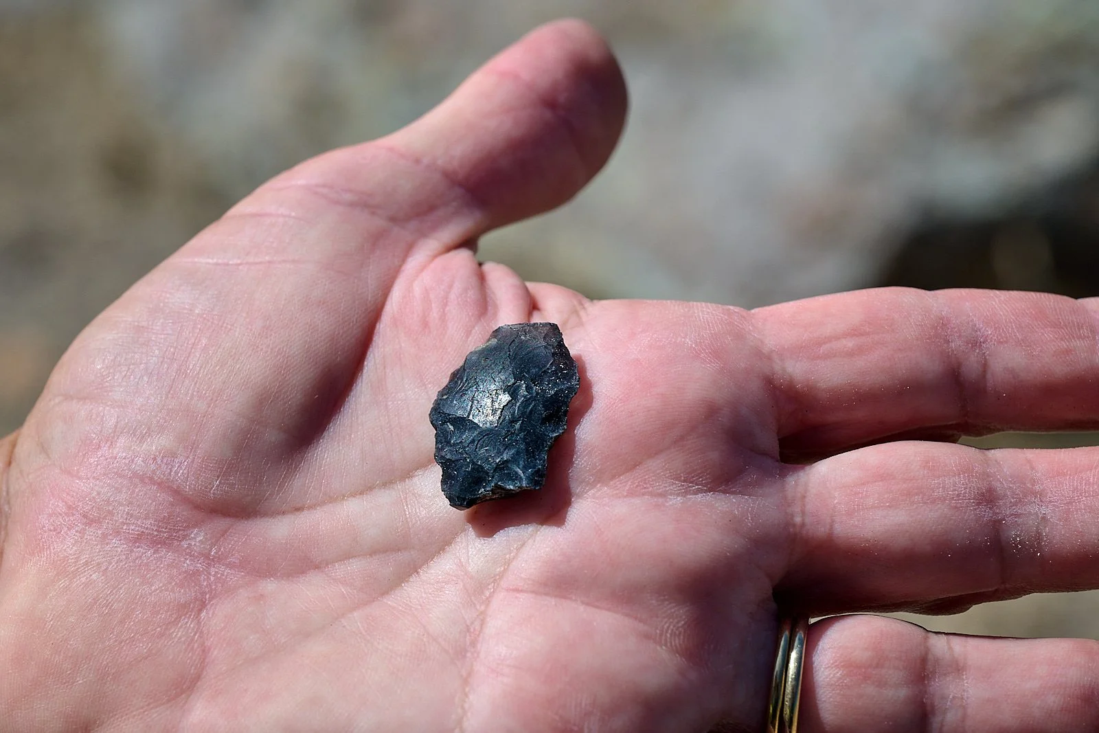
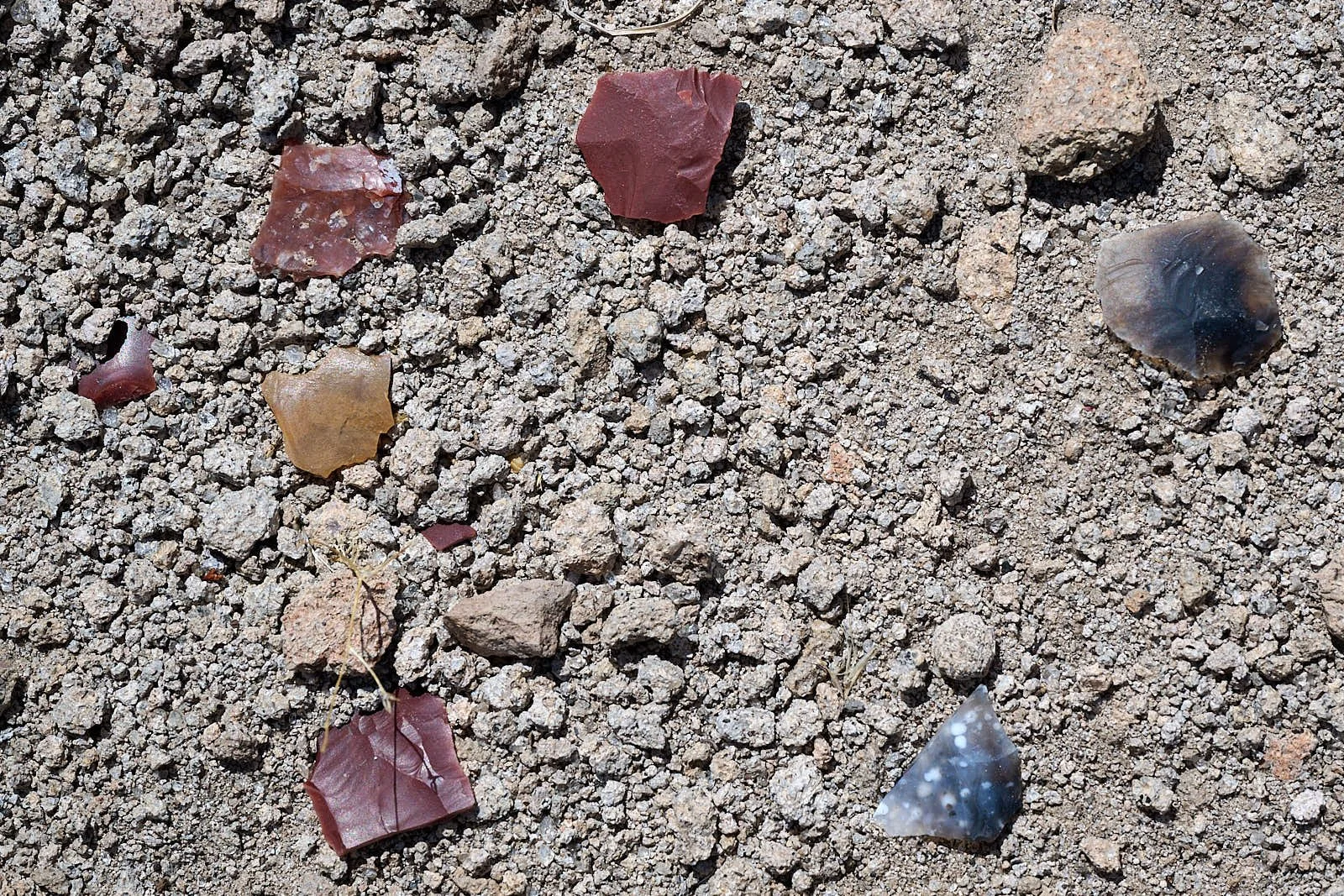
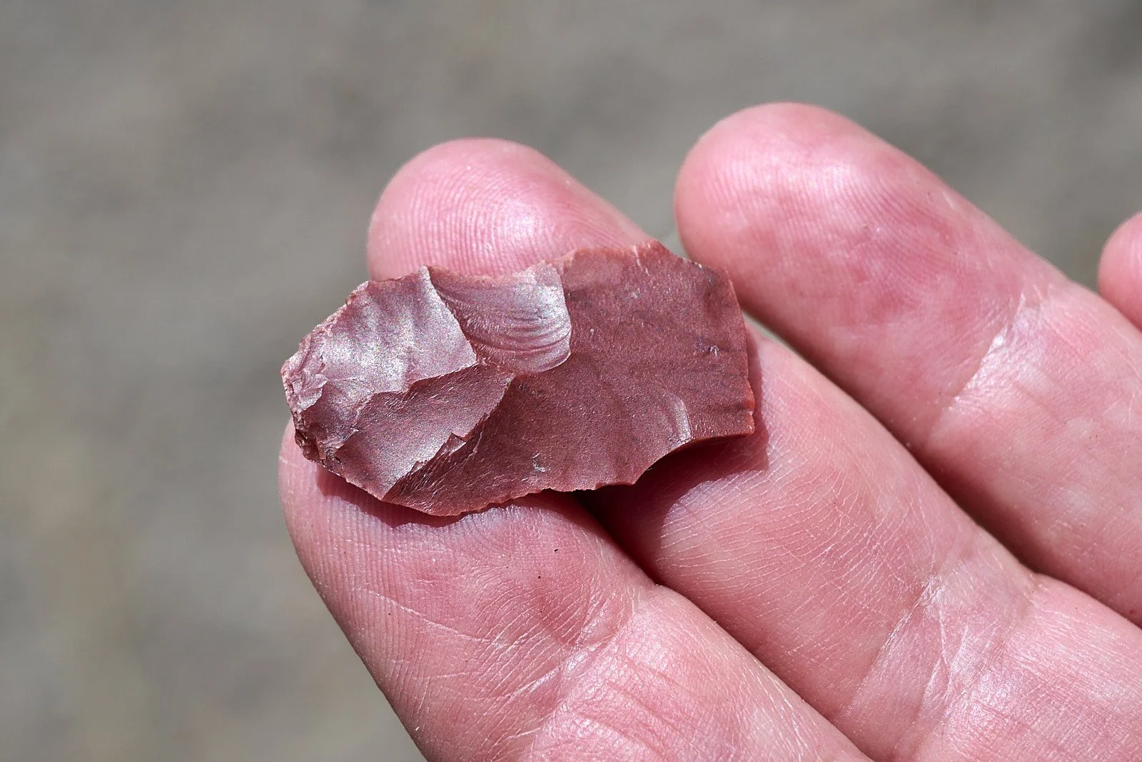
Tool-making stone flakes were numerous near the rock art. These and other artifacts suggest the Irish Mountain sites were occupied seasonally by families for gathering of food and making art.
White River Narrows
We spent a morning at another rock art site called White River Narrows. It is a winding canyon formed during the Pleistocene (ca. 2.5 million to 11,700 years ago) and has a large concentration of images from the Basin and Range tradition.
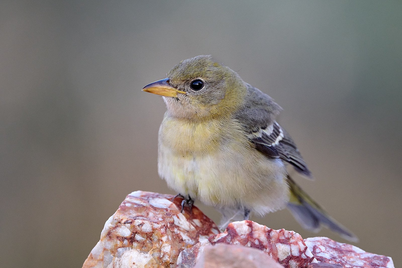
Western Tanager
A female Western Tanager dropped in at our Irish Mountain camp and quickly discovered the yellow jacket wasps that were attracted to our hummingbird nectar feeder. We were impressed with the bird’s deft movements when capturing and handling the yellow jackets.
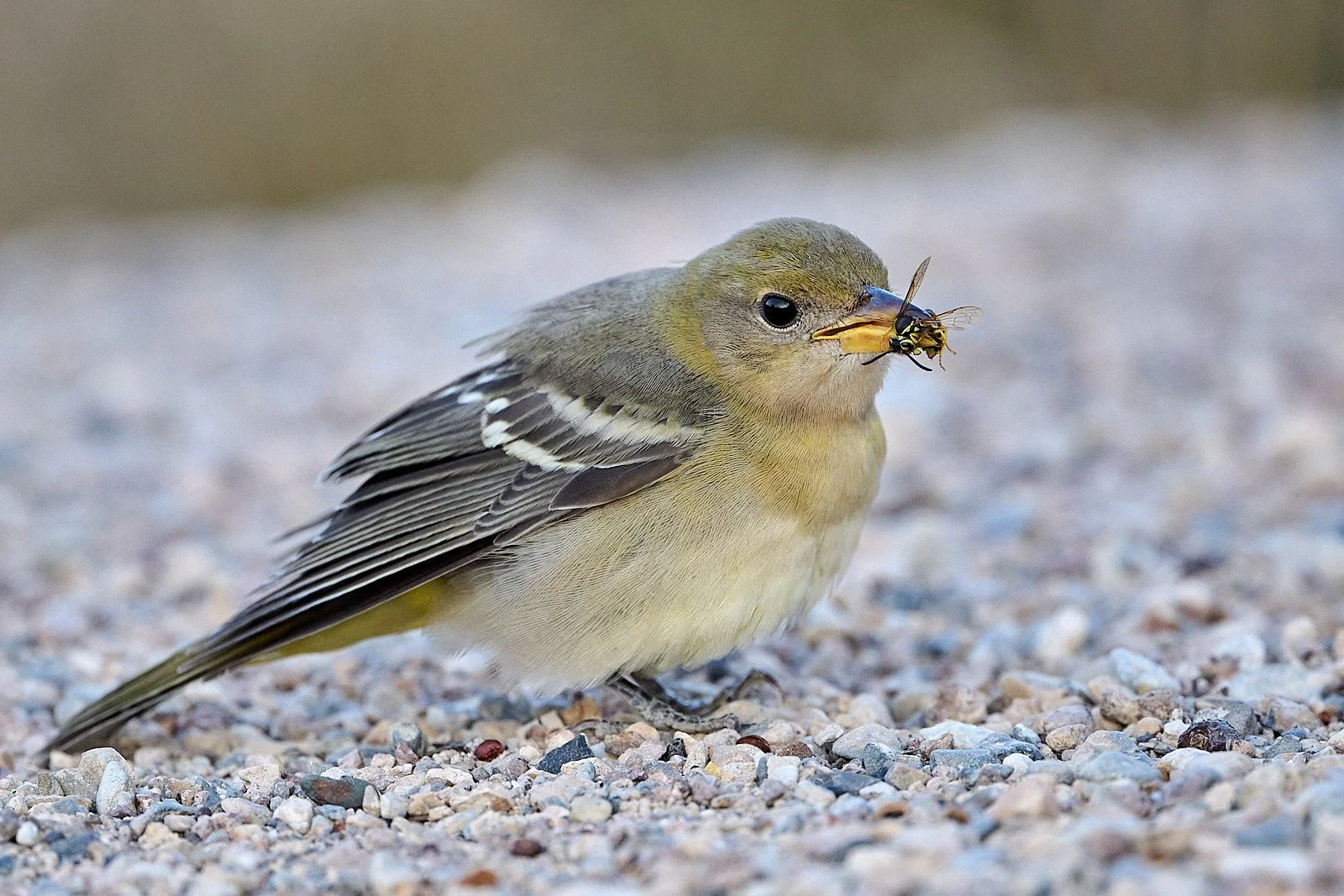
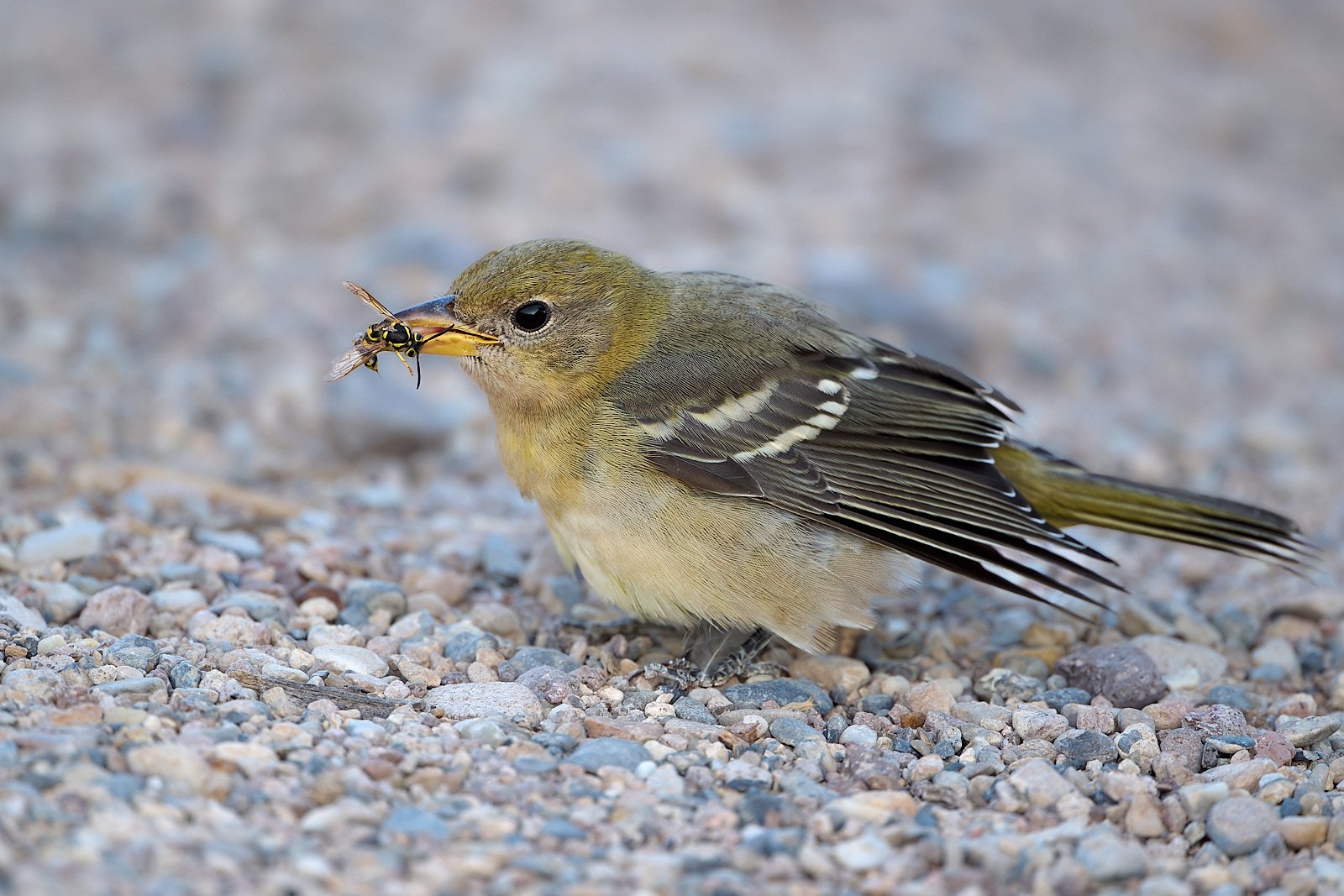
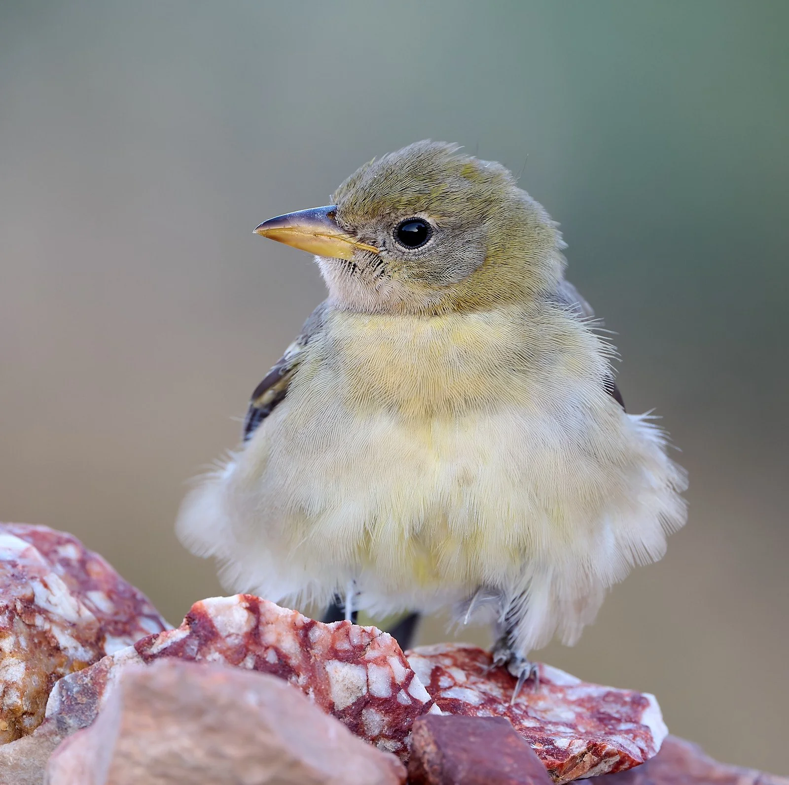
The Western Tanager feeds predominantly on insects during the breeding season, but it also incorporates fruits and berries in its diet whenever it can. At other times of the year, fruits and berries constitute a substantial portion of the diet.
Scarlet, Summer, and Hepatic Tanagers, deposit red 4-oxo-carotenoids in their plumages, which they produce metabolically from dietary yellow precursors (xanthophylls). In contrast, male Western Tanagers deposits rhodoxanthin, a rare plumage pigment, in its red feathers. The pigment is not metabolized, it must be obtained from an external source - presumably insects, that have themselves acquired the pigment from plants.
From: Birds of the World, Cornell Lab of Ornithology
Defying gravity
Cathedral Gorge (elevation 4,830 feet)
Farallon Plate
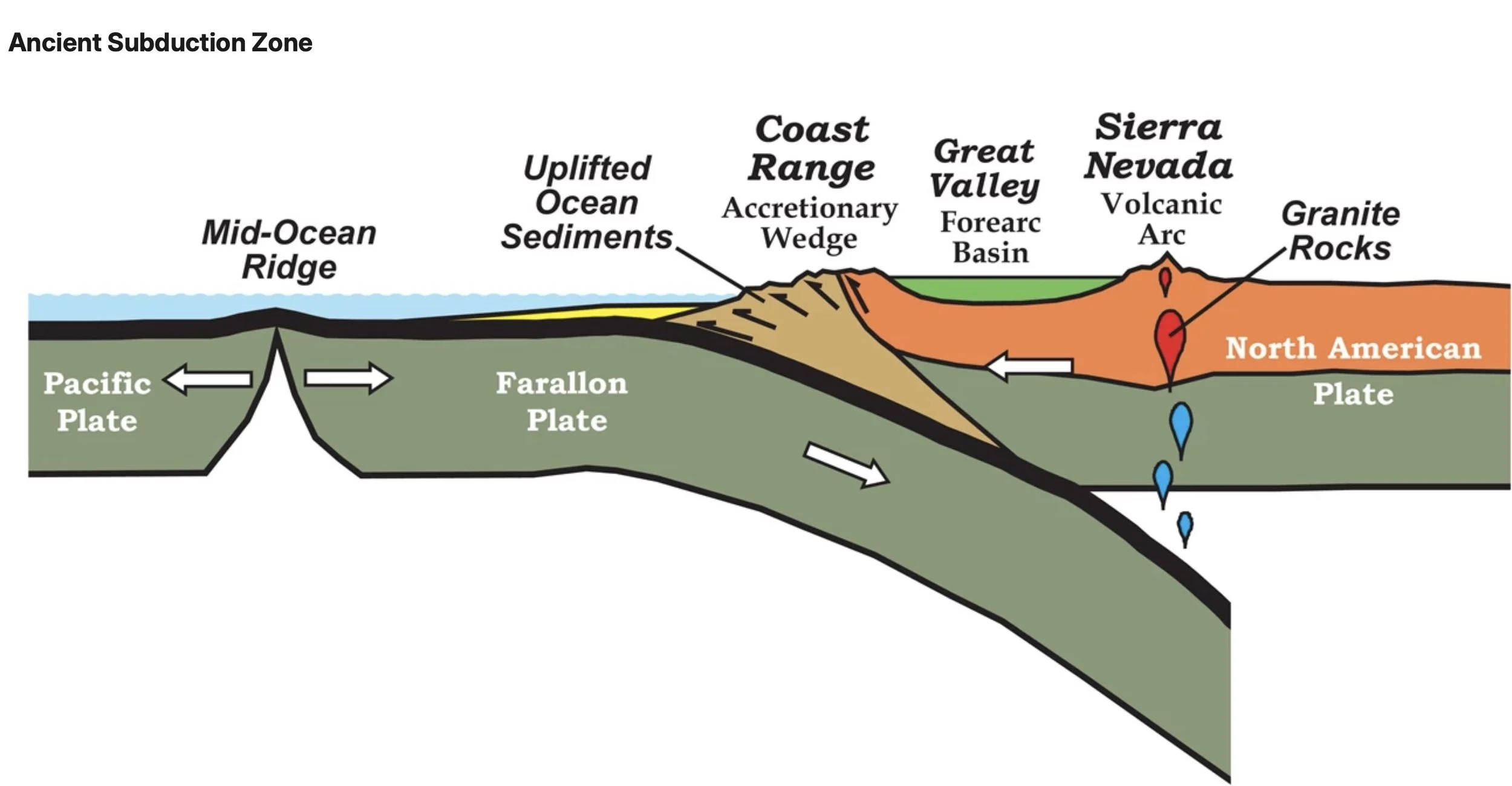
The enormous Farallon Plate was produced by seafloor spreading along an ancient Pacific oceanic ridge system. It formed about 200 million years ago and travelled eastward, meeting the westerly moving North American Plate and subducting under it. As the Farallon Plate sank deep into the subsurface, it eventually encountered higher pressures and temperatures. At depths of about 60 miles, water vapor escaped from the ocean rocks of the Farallon Plate and mixed with the surrounding semisolid rock. The water vapor induced melting of the hot rock, creating large bodies of magma. The molten rock ascended into the overlying rocks of the continent and eventually erupted on the surface, building volcanic peaks, or slowly cooled underground, creating large bodies of plutonic igneous rock like granite.
During the interval 144-66 million years ago, the rate of convergence between the Farallon and North American Plates was particularly high, generating great volumes of magma. These processes, which built the Sierra Nevada granite block and associated volcanoes, also extended into Nevada.
About 60 million years ago, the Farallon subduction angle decreased, allowing the Farallon Plate to slide much farther east before it encountered the conditions necessary for the generation of magma. Volcanism in Nevada abruptly terminated at this time. However, the compressive effects of the Farallon Plate were now exerted as far east as the Rocky Mountain region. In response, initial uplift of the modern Rocky Mountains began in the early Cenozoic Era in an event known as the Laramide Orogeny.
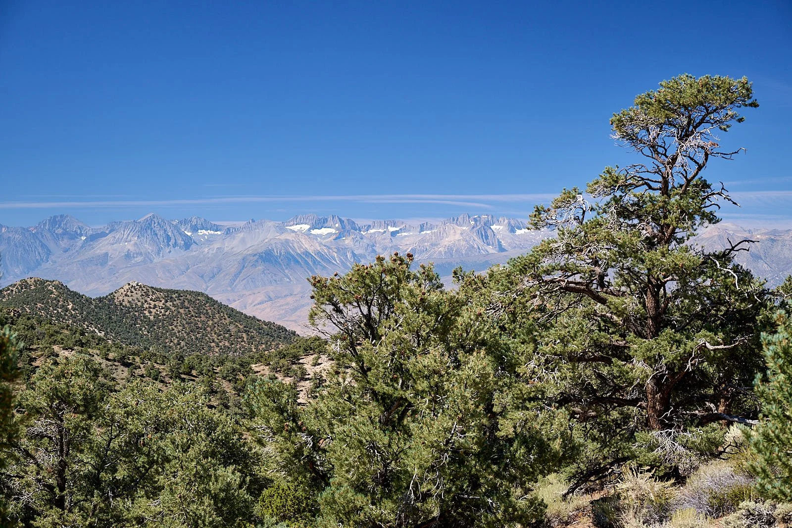
Looking westward at the Sierra Nevada range from the White Mountains.
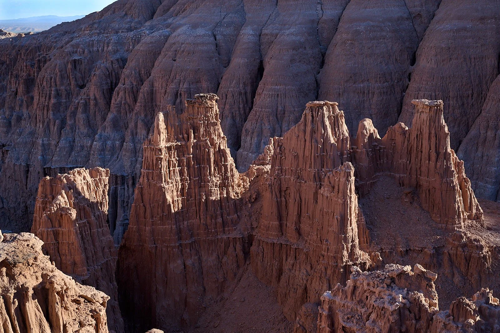
It’s a Blast
About 45 million years ago, the angle of Farallon subduction increased and magma was once again generated beneath Nevada. The volcanic activity started in northern Nevada and gradually moved southward, reaching Caliente at 24 million years ago and Silver Peak area around 17 million years ago.
The scale and violence of the volcanic blasts buried the ancient landscape under thousands of feet of ash. The tuffs of the Great Basin record one of the fiercest volcanic rampages ever documented in the 4.6 billion year history of our planet. Between 36 and 18 million years ago, an estimated 17,000 cubic miles of lava was ejected during no fewer than 250 violent eruptions in Nevada. At least 30 of these eruptions discharged more than 200 cubic miles of ash. (The 1980 Mt. St. Helens eruption produced 0.7 cubic miles of material.) Massive calderas formed, including the Caliente Complex.
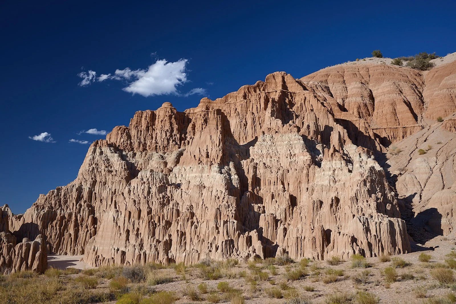
Caliente Complex and Cathedral Gorge
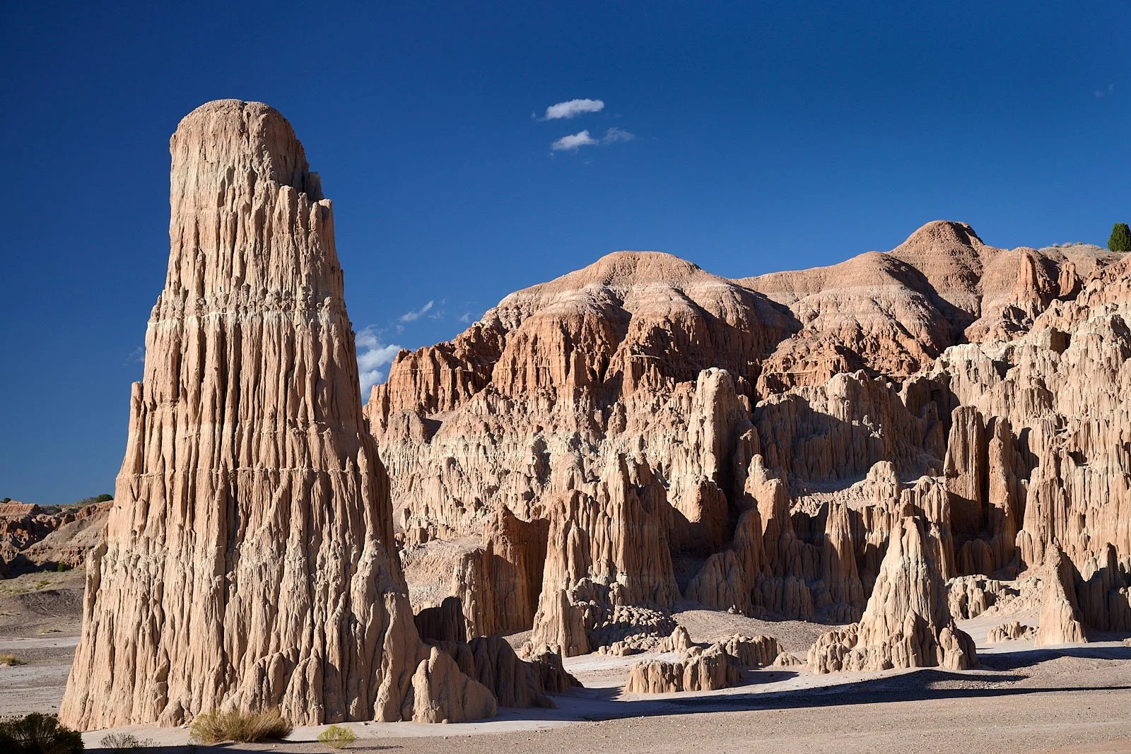
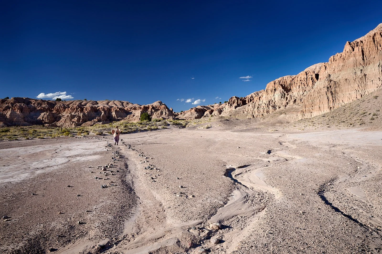
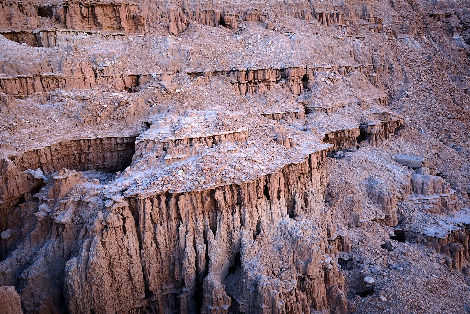
The spires and buff-colored cliffs of Cathedral Gorge are composed of layers of Caliente ash. About five million years after the eruptions ceased, block faulting created a depression, now known as Meadow Valley. Over time the depression filled with water, creating a freshwater lake some 15 miles in length. Rains eroded the hillside ash and pumice and deposited the sediment (bentonite clay) in the lake. With more faulting, water drained from the lake, exposing the bands of silt, clay, and volcanic ash that we see today in the cliffs.
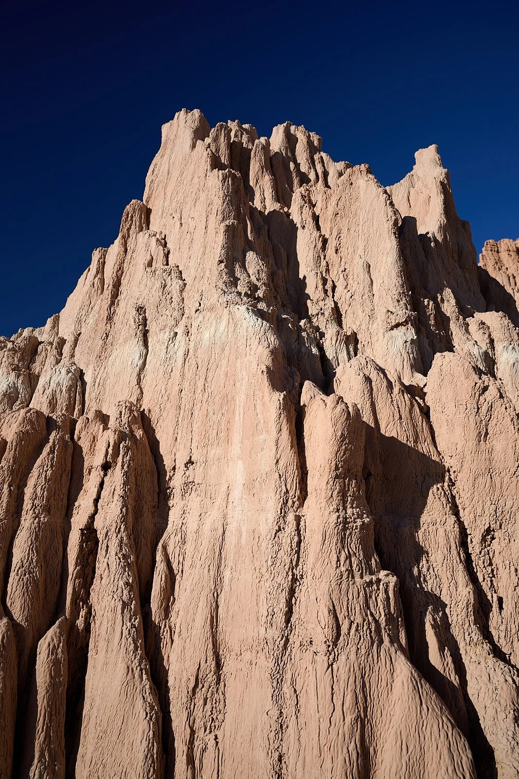
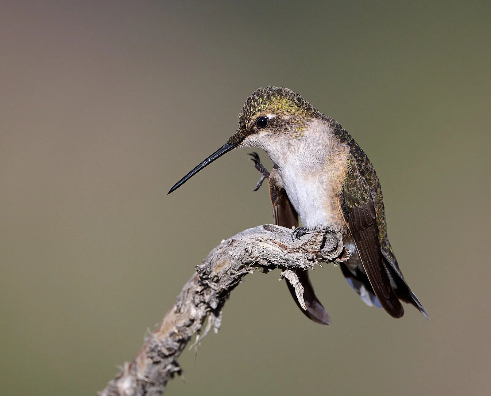
Find the itch.
Beaver Dam State Park (elevation 5,250 feet)
Beaver Dam
During the gold rush of 1849, a group of emigrants happened upon the area while looking for a shortcut to California’s goldfields. They encountered a beautiful valley with steep cliffs, nearly impassable canyons, and turned away. Later, some of the group - the Hamblin family -returned and established a ranch.
The area became popular as a summer escape, the access road was improved in 1917, and it was declared a Nevada State Park in 1935. Between 1934 and 1936 the Civilian Conservation Corps (CCC) constructed campgrounds and picnic areas, but floods in the late 1930s destroyed many of these facilities.
In 1961, Schroeder Reservoir an earthen dam was built, but it was demolished in 2009 because of sedimentation fill and a breach of the dam by a large flood event. Beaver Dam river flows south into the Colorado River system and is not part of Great Basin hydrology.
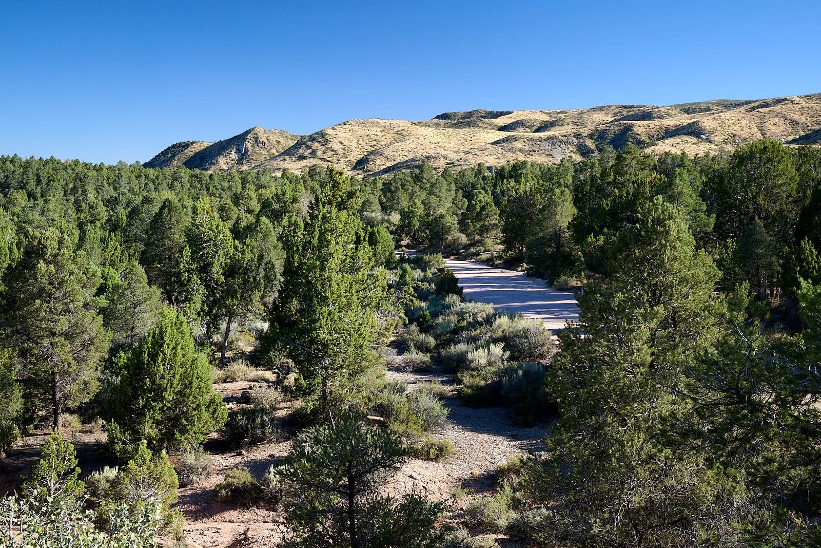
Pinyon and Juniper Woodland
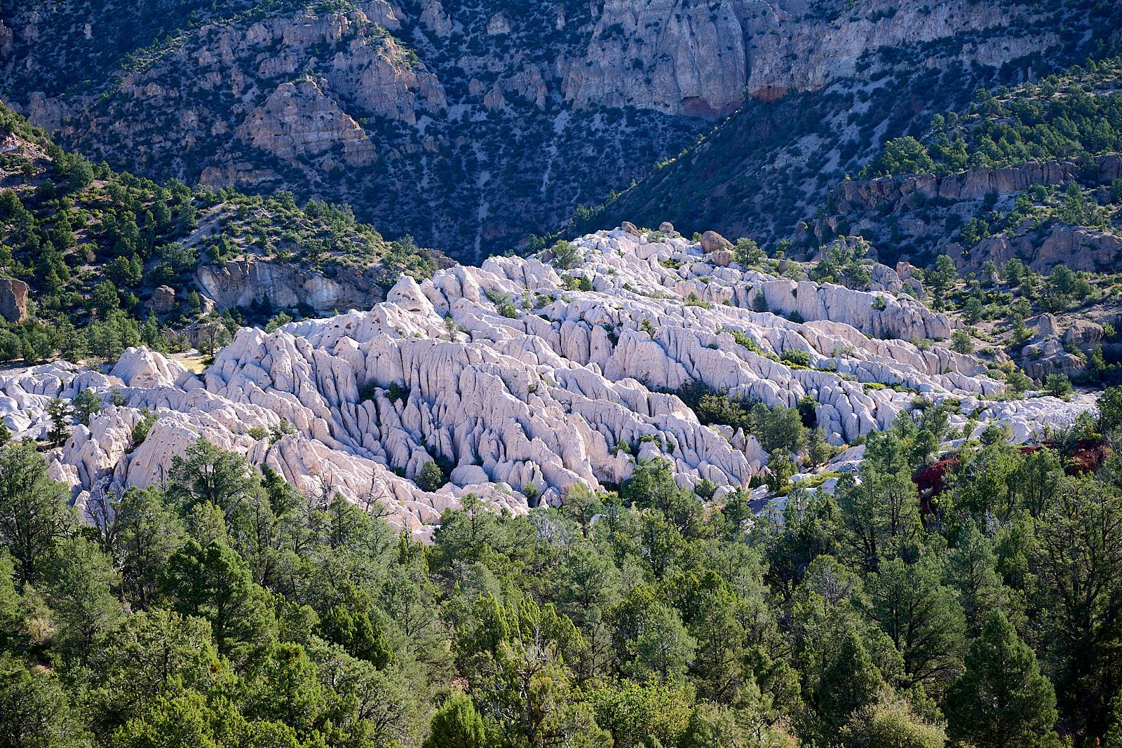
Beaver Dam State Park has craggy terrain, with deep canyons and eroded cliffs of volcanic origin - pink rhyolite, dark red and grey andesites and white ashfall tuffs. Vegetation is varied and includes pinyon-juniper woodlands, ponderosa pines, sagebrush, Gambel’s oak, willow, cottonwoods, and cacti.
North America’s pinyon-juniper woodlands are the world’s most extensive drought-adapted conifer forests.
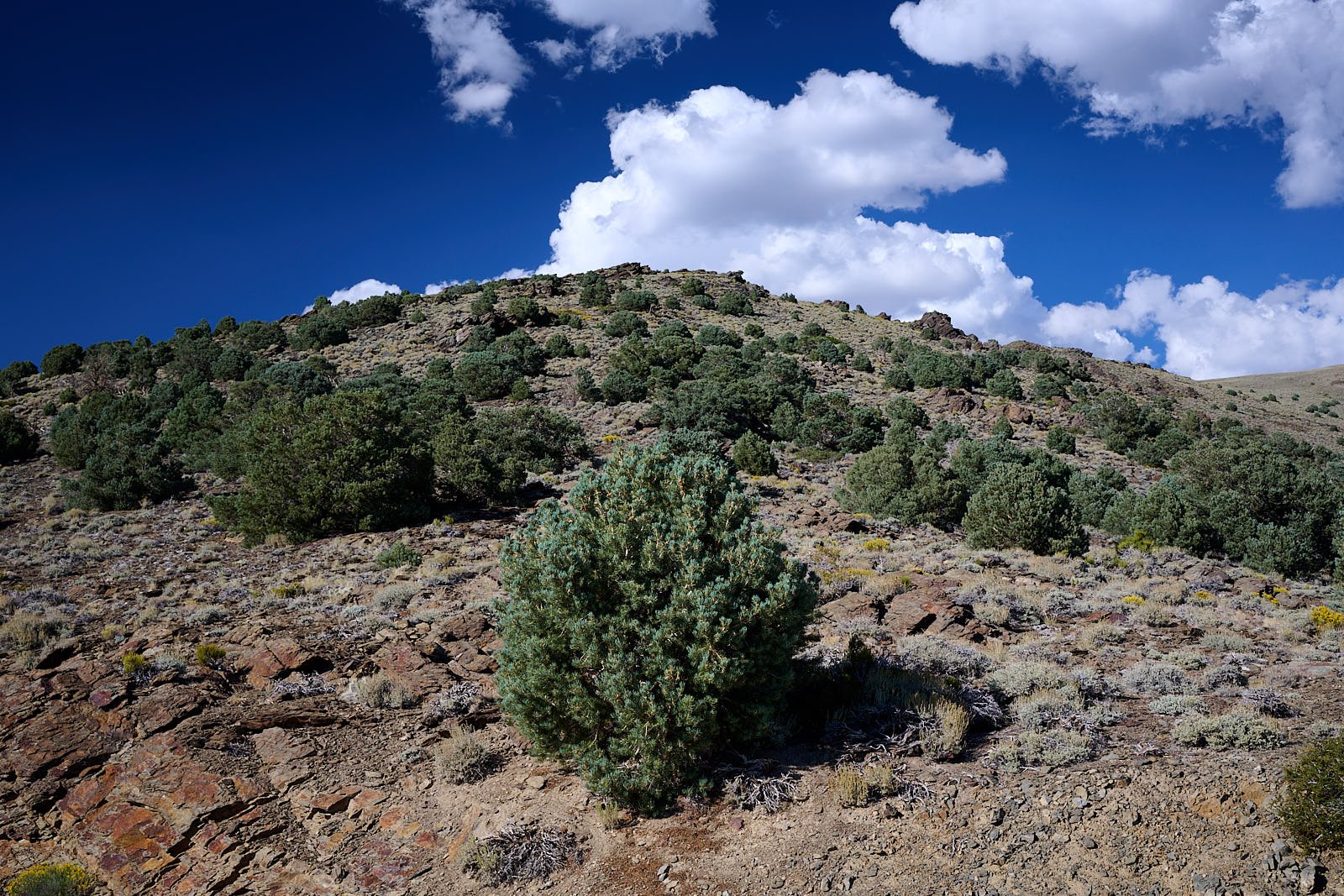
Singleleaf pinyon pine (Pinus monophyla)
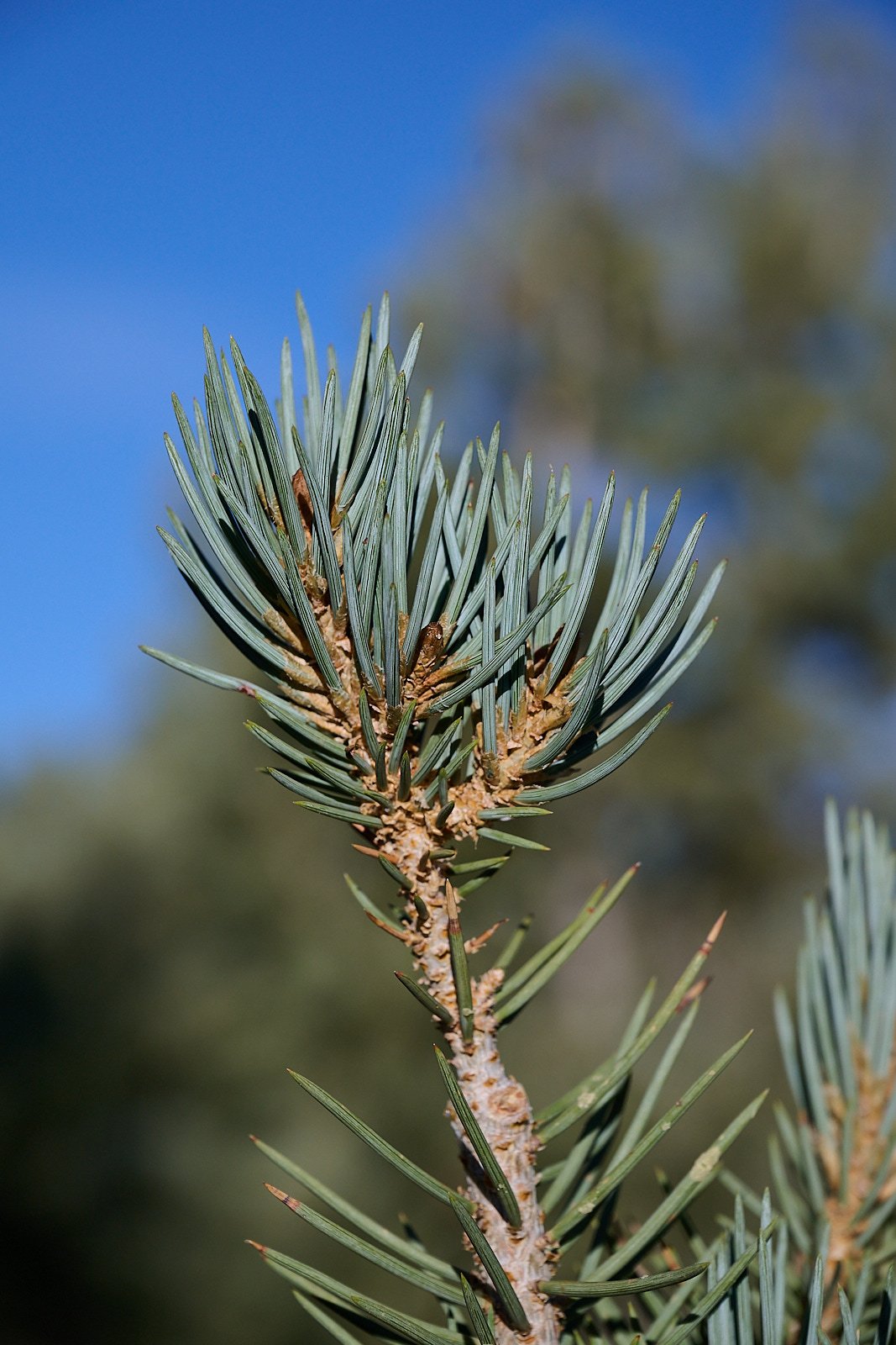
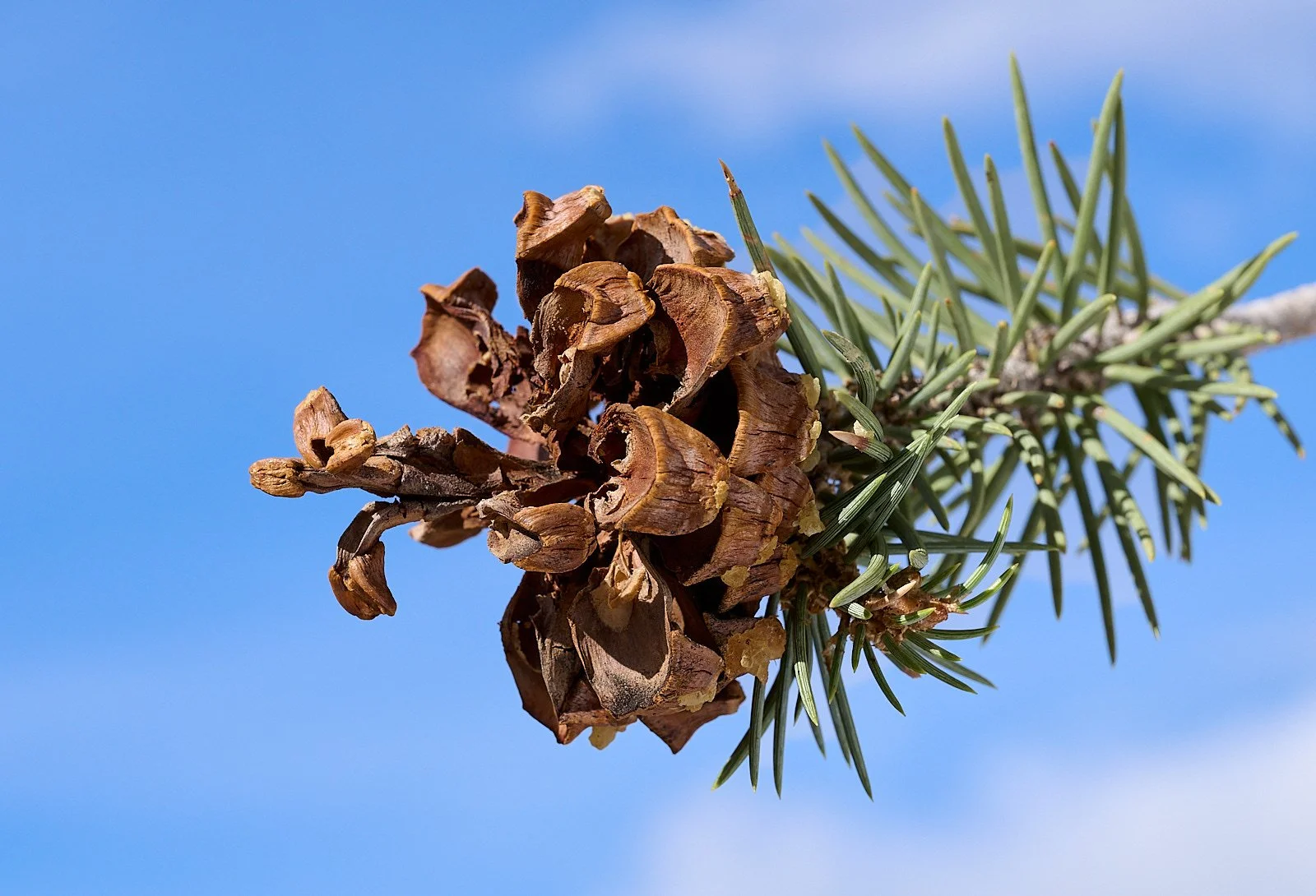
Singleleaf pinyon seeds are wingless. They are held in the opened cone for a time by a thin sheet of tissue, thus remaining available to be harvested. The seeds are eaten by many mammals – mice, chipmunks, squirrels, deer, bears, bighorn sheep, and man. Botany book authors often mention that naturalist John C. Frémont was saved from starvation in January 1844 when an elderly Native American introduced him to pinyon nuts.
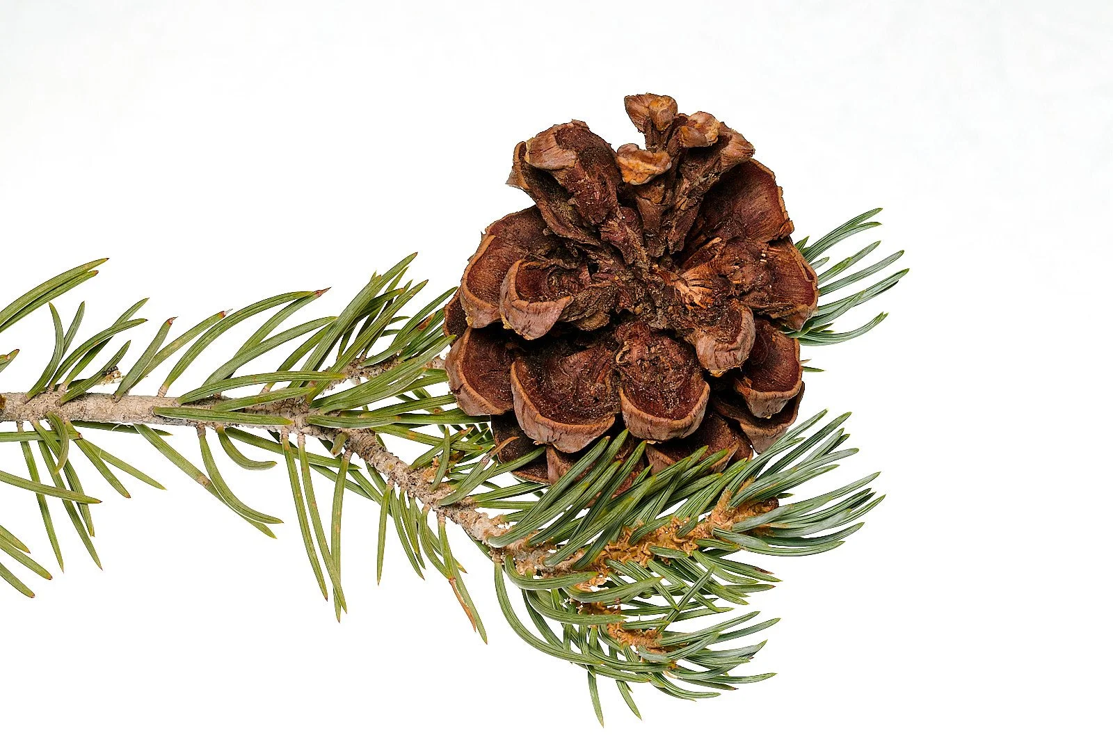
Single needle pinyon cone
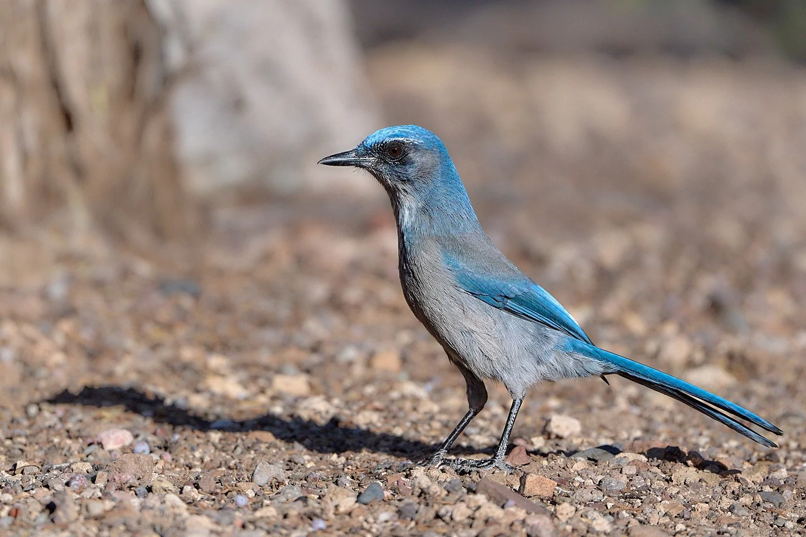
Woodhouse’s Scrub-Jay.
Corvids such as Stellar’s, Scrub, and Pinyon Jays and Clark’s Nutcrackers harvest the nuts from their cones and bury them in the soil as a winter food cache. Many cached nuts germinate, constantly replenishing and extending the woodland cover.
Climate Change
In many parts of the Great Basin, the spread of pinyon, with its important nut, aided permanent settlement in previously uninhabitable places or else changed the character of settlement. Prior to 11,000 years ago, pinyon was absent from the Great Basin. As the climate warmed and glacial ice melted, pinyon entered the region from the south about 7,500 years ago, spreading to the eastern and central Great Basin around 6,800 years ago, and then to the northern Basin around 500 years ago.
In ethnographic times, pinyon was an important winter stable as it can be stored or cached. The tree was the subject of ceremonialism, as witnessed by early explorers, which highlighted its cultural and economic importance.
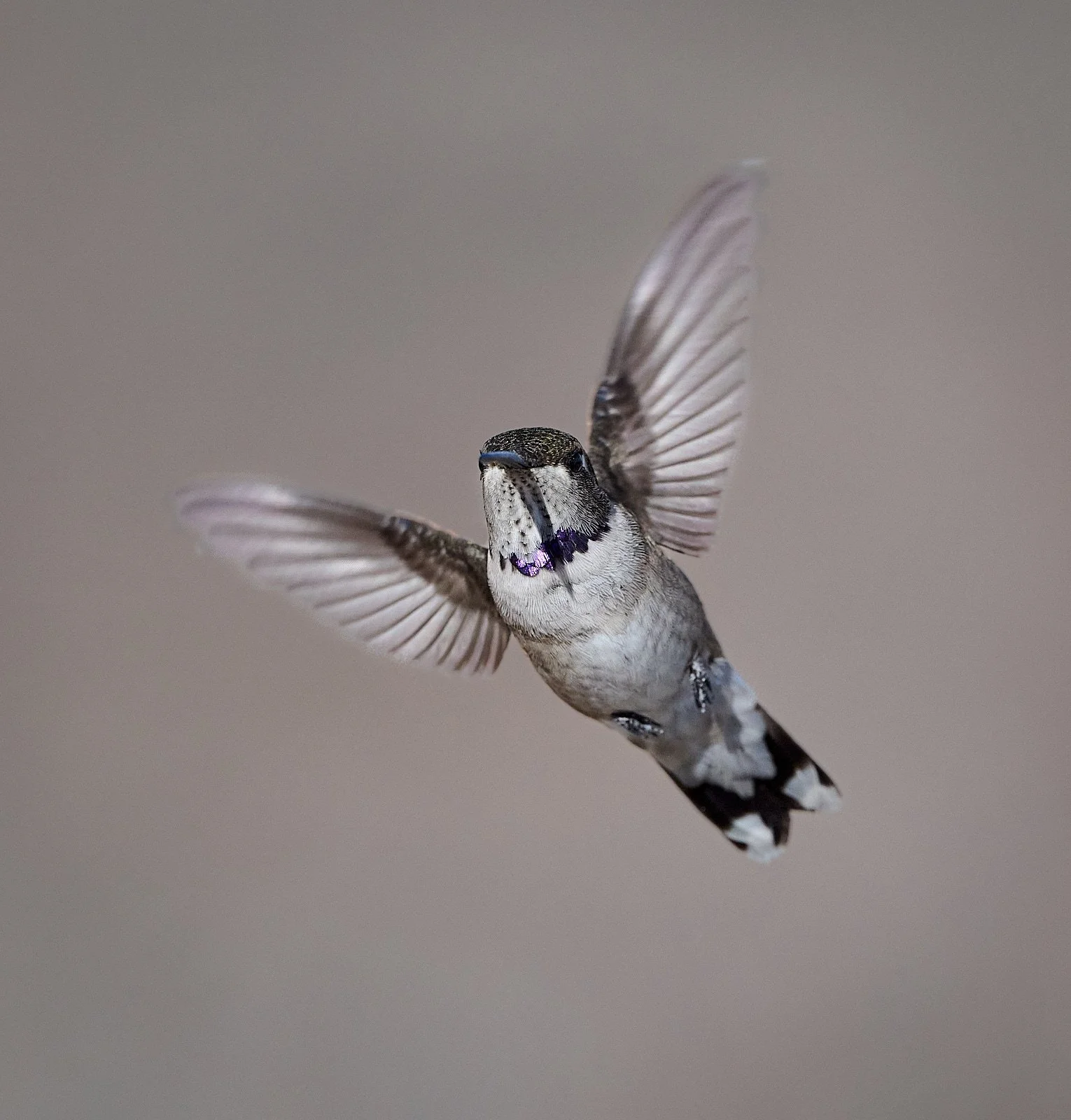
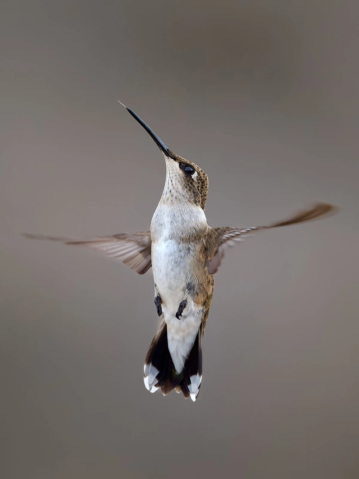
Immature male Black-chinned Hummingbird
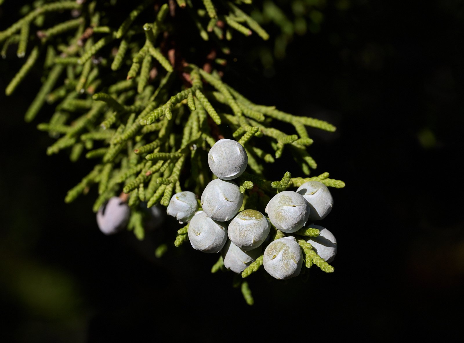
Utah Juniper (Juniperus osteosperma)
These drought-hardy trees produce male and female cones on the same tree, in contrast to most Sierra junipers. Great Basin people favored the wood for cooking fuel, utensils were fashioned from the soft wood, the berry-like cones were eaten, and the bark used for rope, sandals, diapers, and clothing. Birds such as Townsend’s Solitaire, coyotes and jackrabbits eat the cones and disperse the seeds.
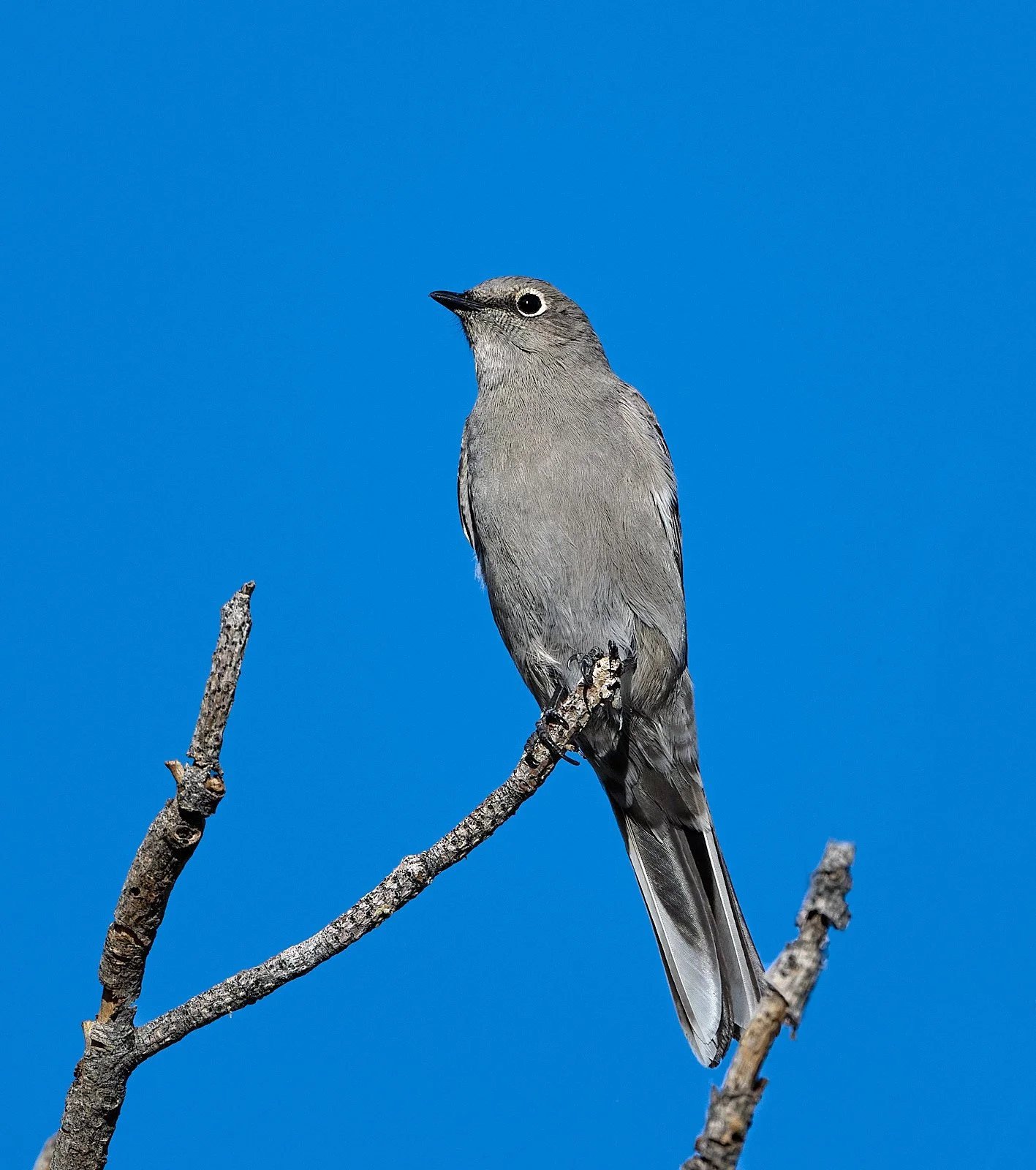
Townsend’s Solitaire
Cave Lake State Park and Success Loop Scenic Drive (elevation 7,360 feet)
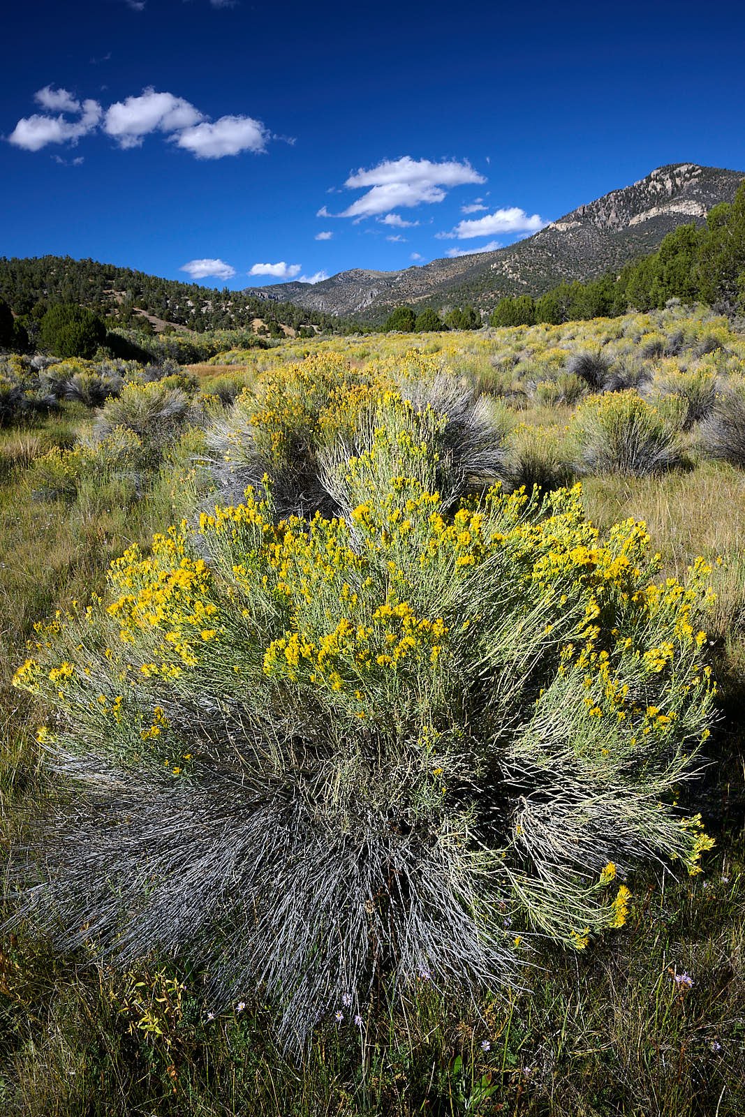
Cave Lake State Park
To understand this region, we must look back to the good old days.
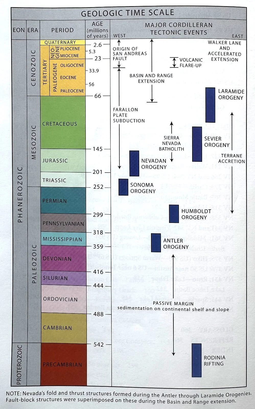
From: Roadside Geology of Nevada
Yes, this figure looks complex but it is, in fact, an excellent summary of Nevada’s geological past.
Proterozoic Eon (2,500-542 million years ago)
The oldest rocks (approx. 2.5 billion years old) in Nevada occur in the East Humboldt range in the northeastern part of the state. These old basement rocks were part of an ancient supercontinent known as Rodinia. The construction of Rodinia about 1 billion years ago involved the collision of numerous smaller fragments of continental crust. Rodinia was situated along the equator and surrounded by an enormous global ocean.
About 700-600 million years ago, Rodinia became fragmented by plate tectonic processes. One fragment (Laurentia), was the predecessor to modern North America. The zone of rifting along the western edge of Laurentia ran through the center of what is now Nevada. Because the rift zone slashed diagonally from northeast to southwest Nevada, no continental rock older than about 700 million years exists in western Nevada. Such ancient basement rocks are only present in the eastern part of the state, though they are usually deeply buried under younger material and only seen at the surface in a few places.
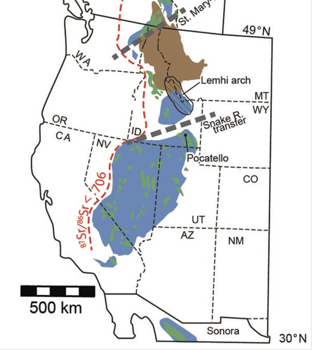
Red dashed line is the Neoproterozoic rift margin.
Blue color indicates passive margin rocks, (see below).
Paleozoic Era (542-252 million years ago)
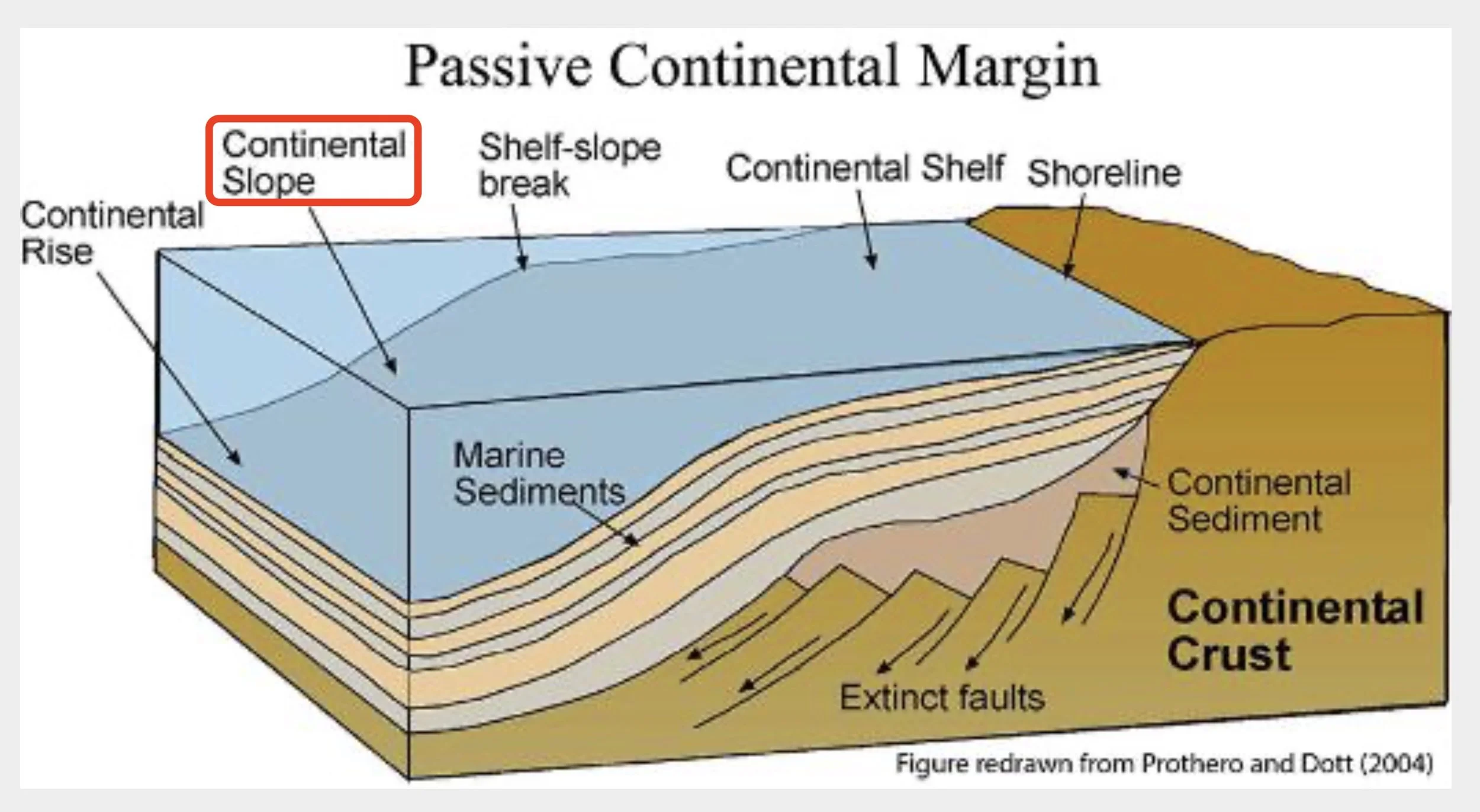
After rifting was complete the continental crust of Laurentia was joined to the oceanic crust to the west within a single lithospheric plate. Thus, there were no plates interacting along the western margin of Laurentia to produce violent earthquakes or intense volcanic activity. This type of geological setting is called a passive continental margin.
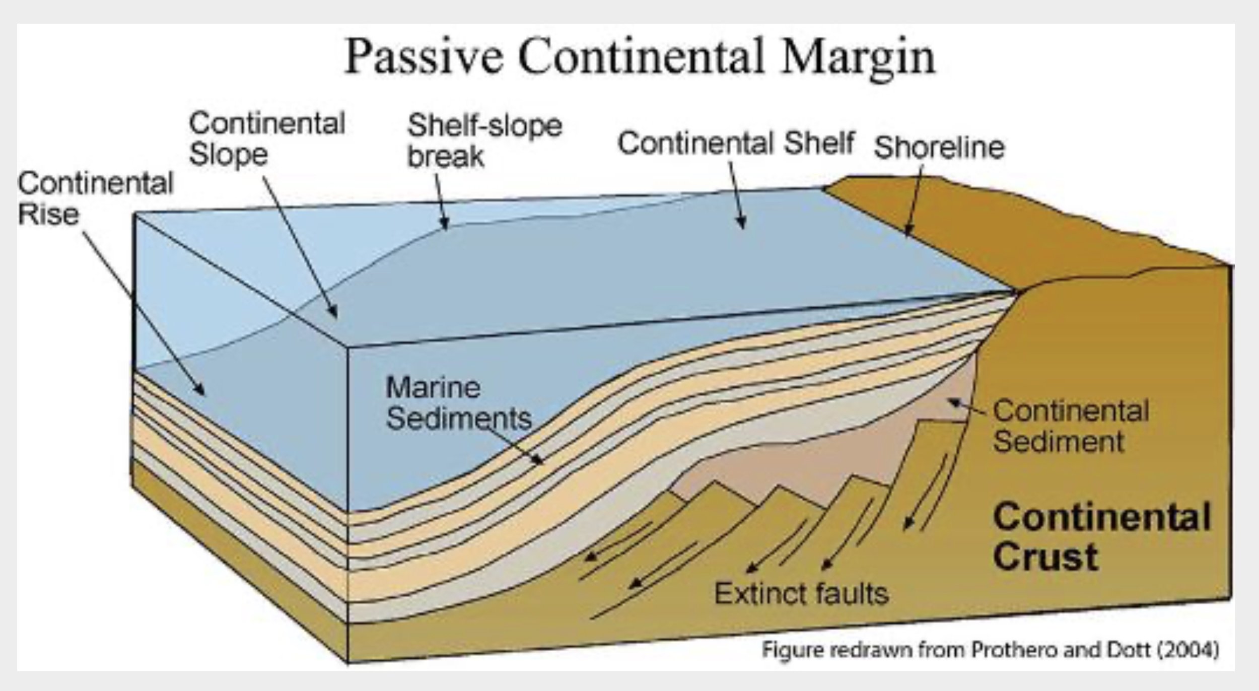
Paleozoic Continental Shelf
Rivers flowing from Laurentia deposited sediments into the sea at the margin of the continent. In time, these sediments bult up an immense elongated wedge that thickened to the west, toward the deeper parts of the ocean basin. The newly rifted lithosphere cooled and sank, causing the seafloor to subside and allowing more than 20,000 feet of sediment to accumulate in relatively shallow water. For more than 400 million years, eastern and central Nevada were submerged under shallow tropical seas.
In addition to the sand and silt derived from land, carbonate minerals precipitated from the seawater and built up thick layers of limestone and dolomite. Together, these layers formed the early Paleozoic continental shelf that can be seen today in eastern mountain ranges such as the Schell Creek Range.
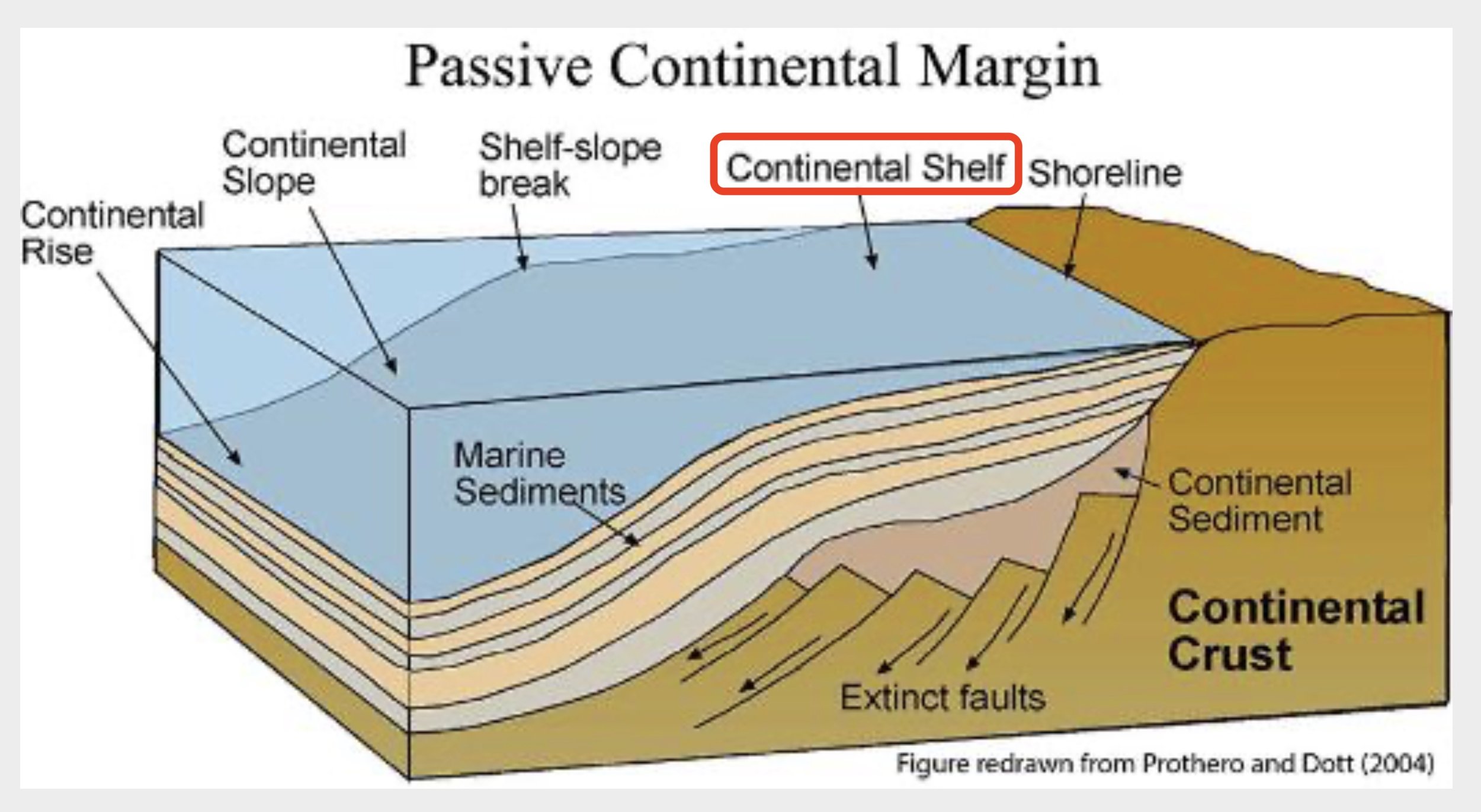
Paleozoic Continental Slope
In Central Nevada, the early Paleozoic continental shelf descended a relatively steep continental slope to the deeper ocean floor. Silt, clay, and ooze accumulated there and solidified into shale, siltstone, and chert. These early Paleozoic rocks, together with seafloor volcanic rocks, are known as the slope and basin domain, which is present in central and western Nevada.
Passivity ends
Four hundred million years of geological serenity ended in middle Paleozoic time. New plate tectonic settings pushed oceanic lithosphere towards the western edge of Laurentia. The plate convergence resulted in a lengthy interval of subduction of various oceanic plates under the edge of the continent. This led to a series of geological upheavals that deformed earlier-formed rocks, elevated tracts of the seafloor as emergent land, and spawned intense volcanic activity on both the seafloor and land.
One episode of during this time, termed the Antler Orogeny, occurred about 370-350 million years ago, when rocks of the oceanic slope and basin domain were thrust over the edge of the continental shelf to form the Roberts Mountains of central Nevada. We passed this range when traveling south on highway 278 towards Eureka.
Schell Creek Range.
We camped at Cave Lake State Park and along the Success Loop trail. It was awesome to realize we were among rocks that were layered down about 500 million years ago.
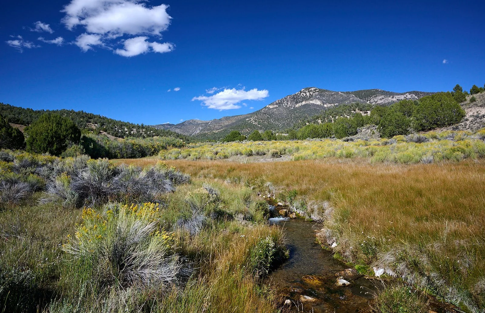
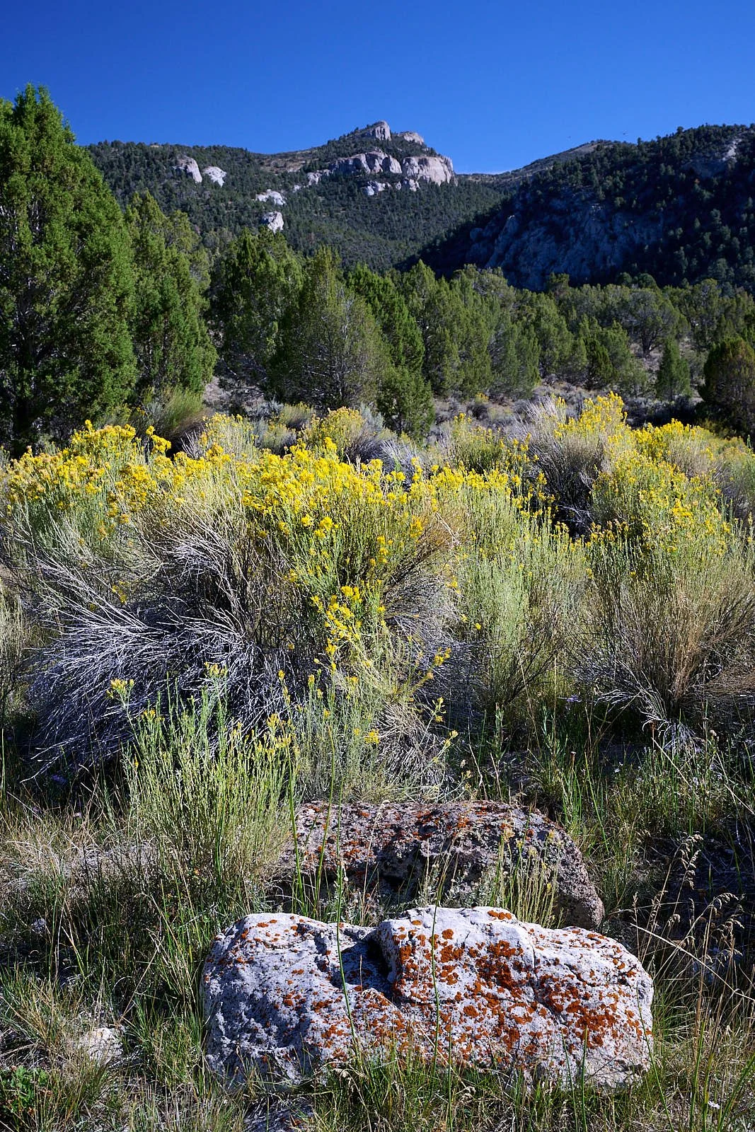
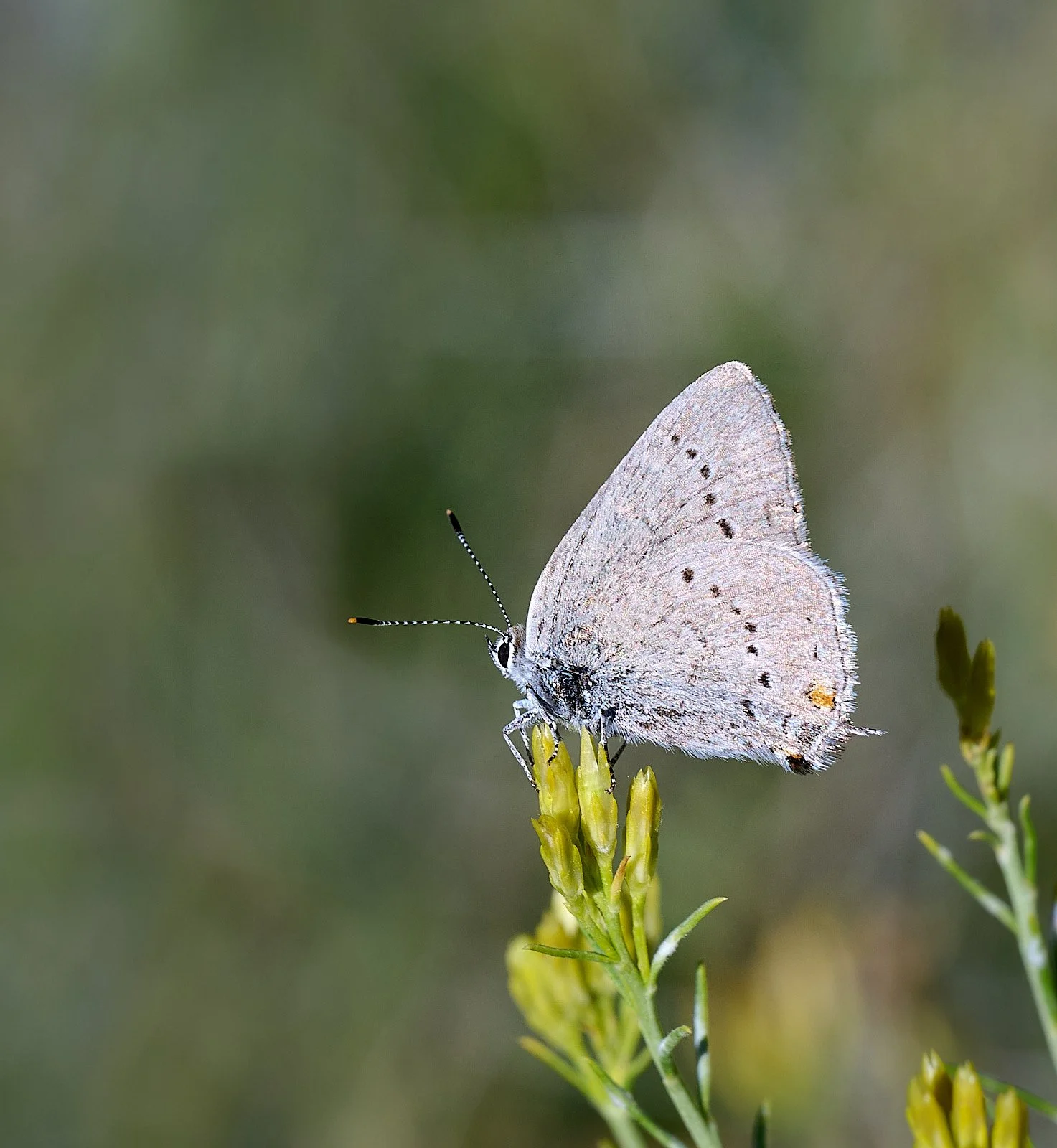
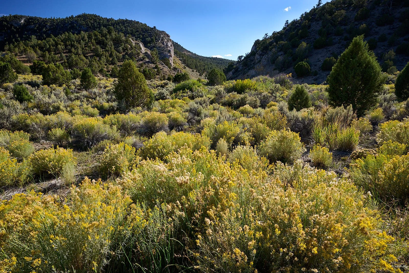
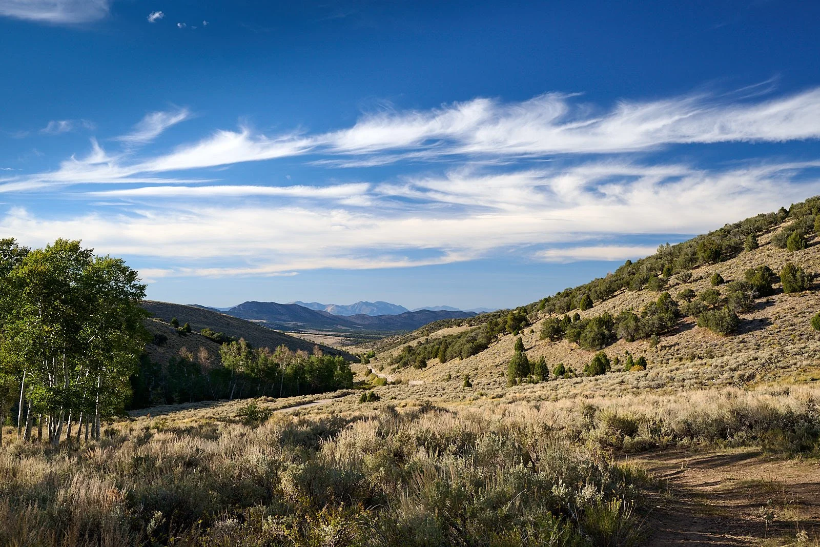
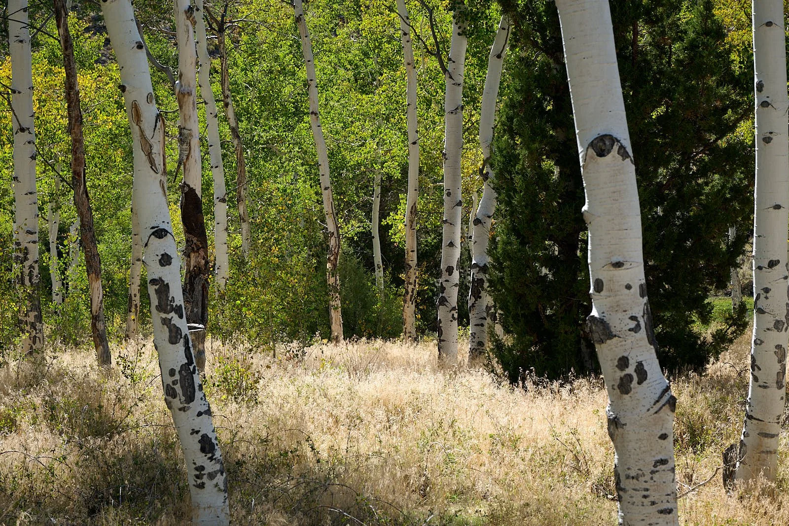
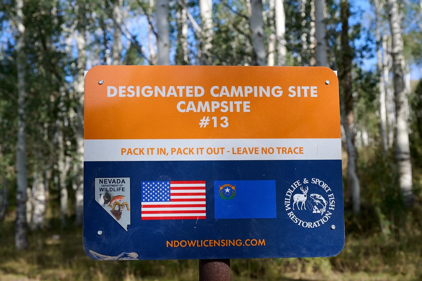
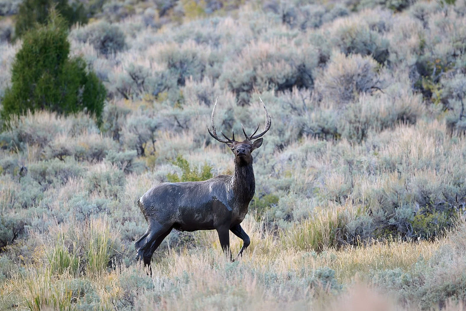
Elk
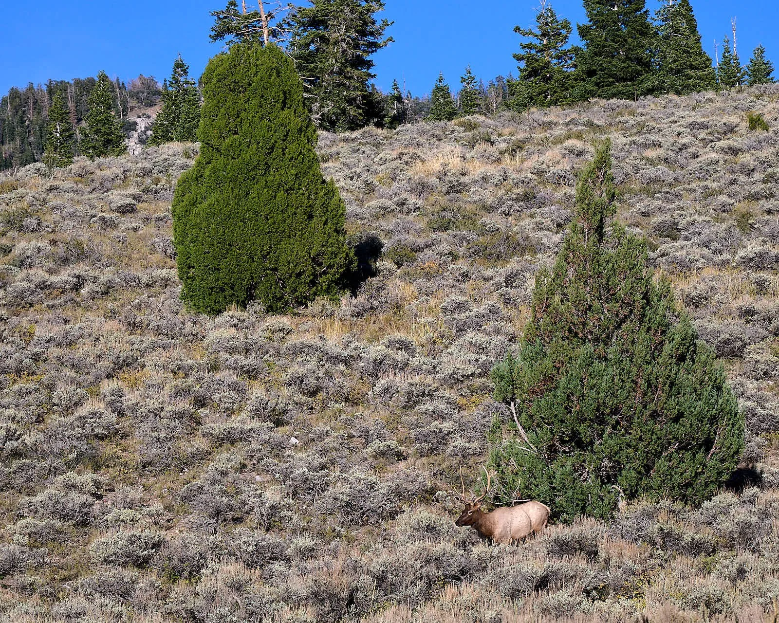
Rocky Mountain Elk are found in diverse habitats - prairies, sagebrush flats, deciduous forests, swampy valleys, and mountain meadows. They are mixed feeders, consuming a wide variety of plants including grasses, shrubs, trees, and flowers. Calves are born in spring, are scentless, and have camouflage spots. Only the male elk possess antlers, which may grow at a rate of an inch per day, and are shed every year.
One late afternoon, we watched a bull saunter down a hillside to visit a fence-enclosed spring near our camp.
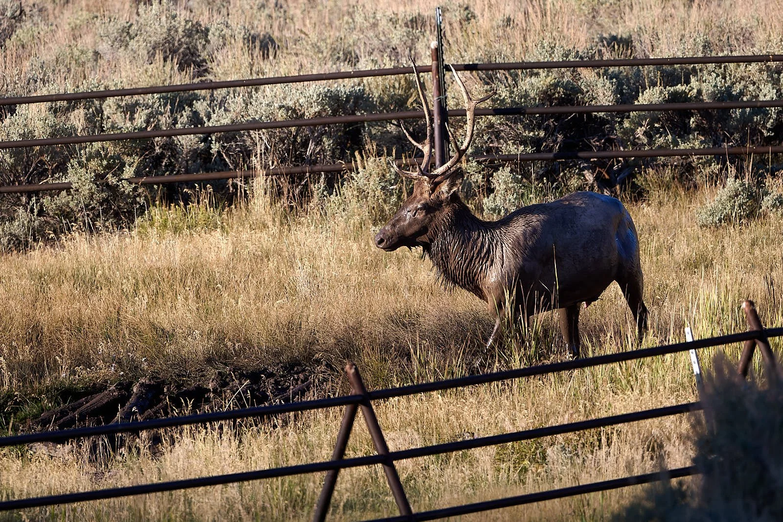
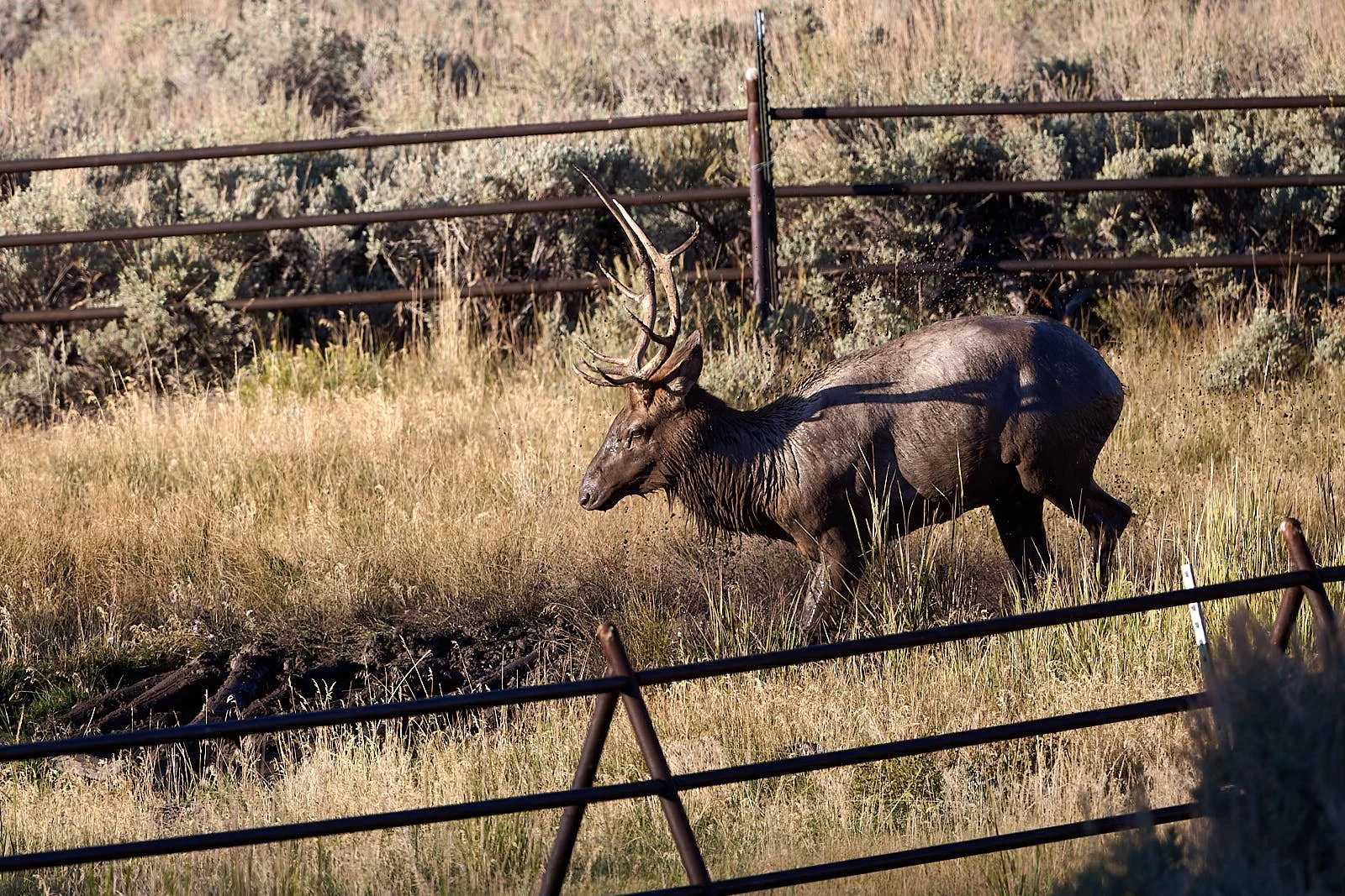
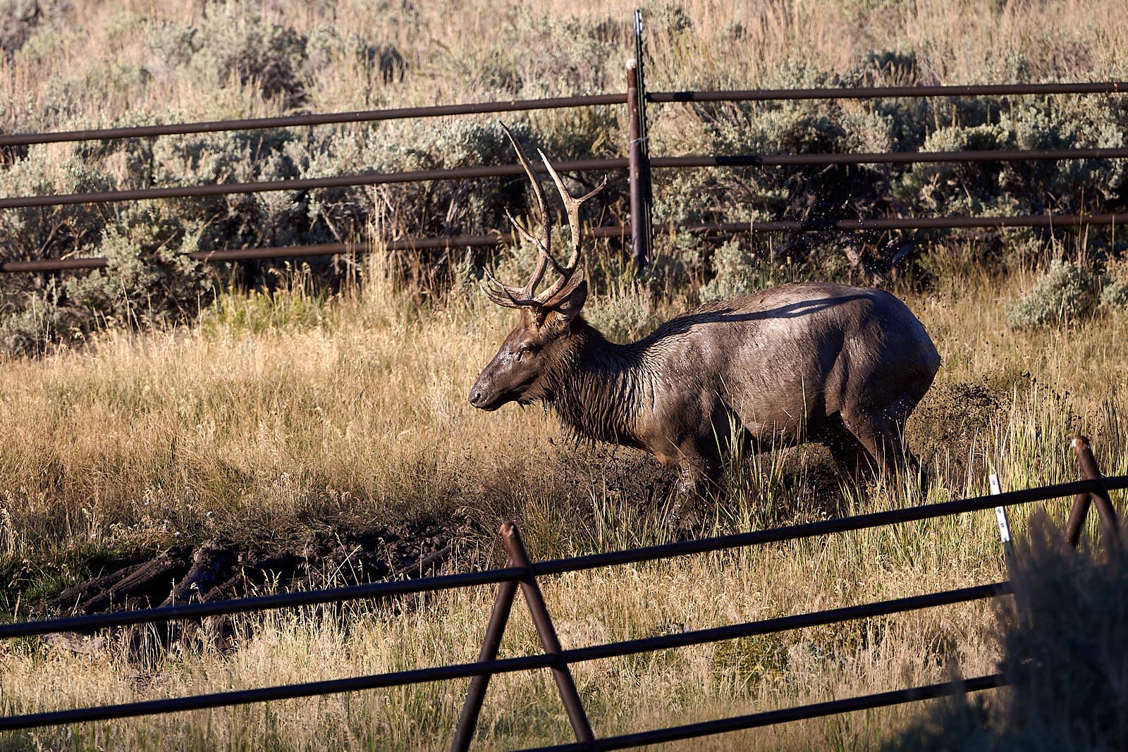
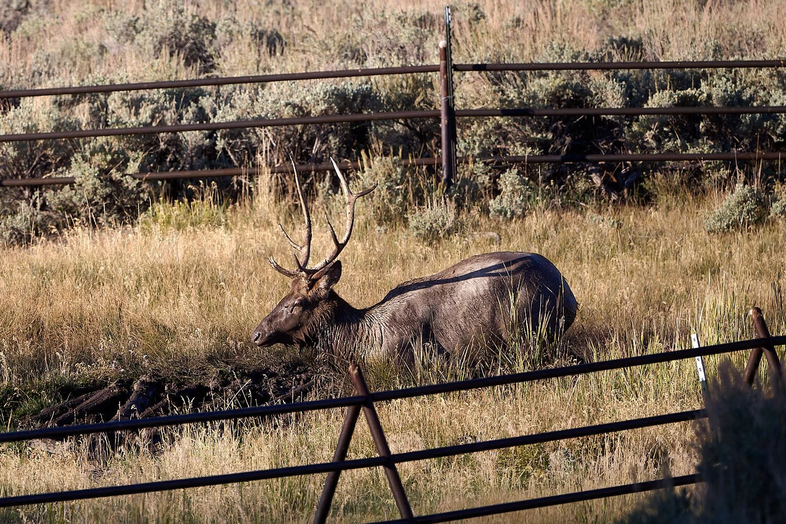
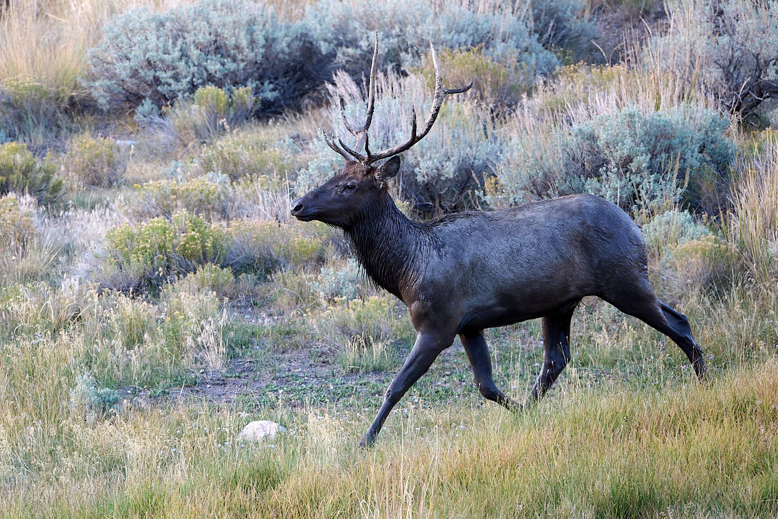
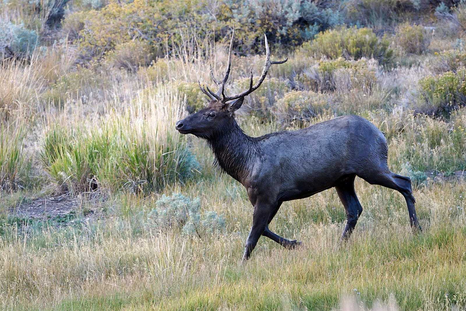
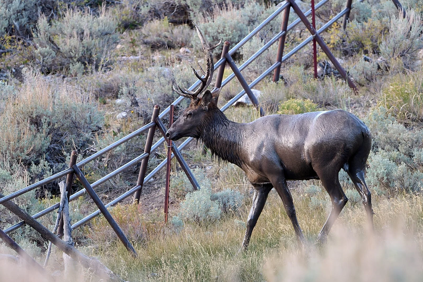
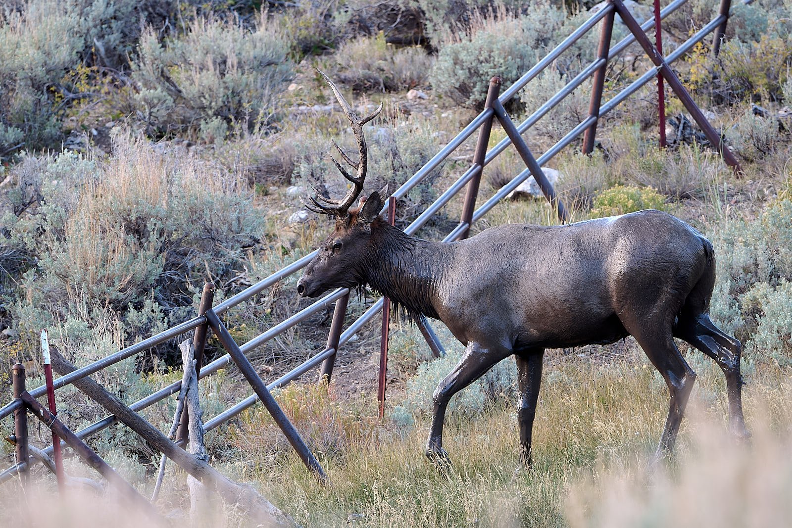
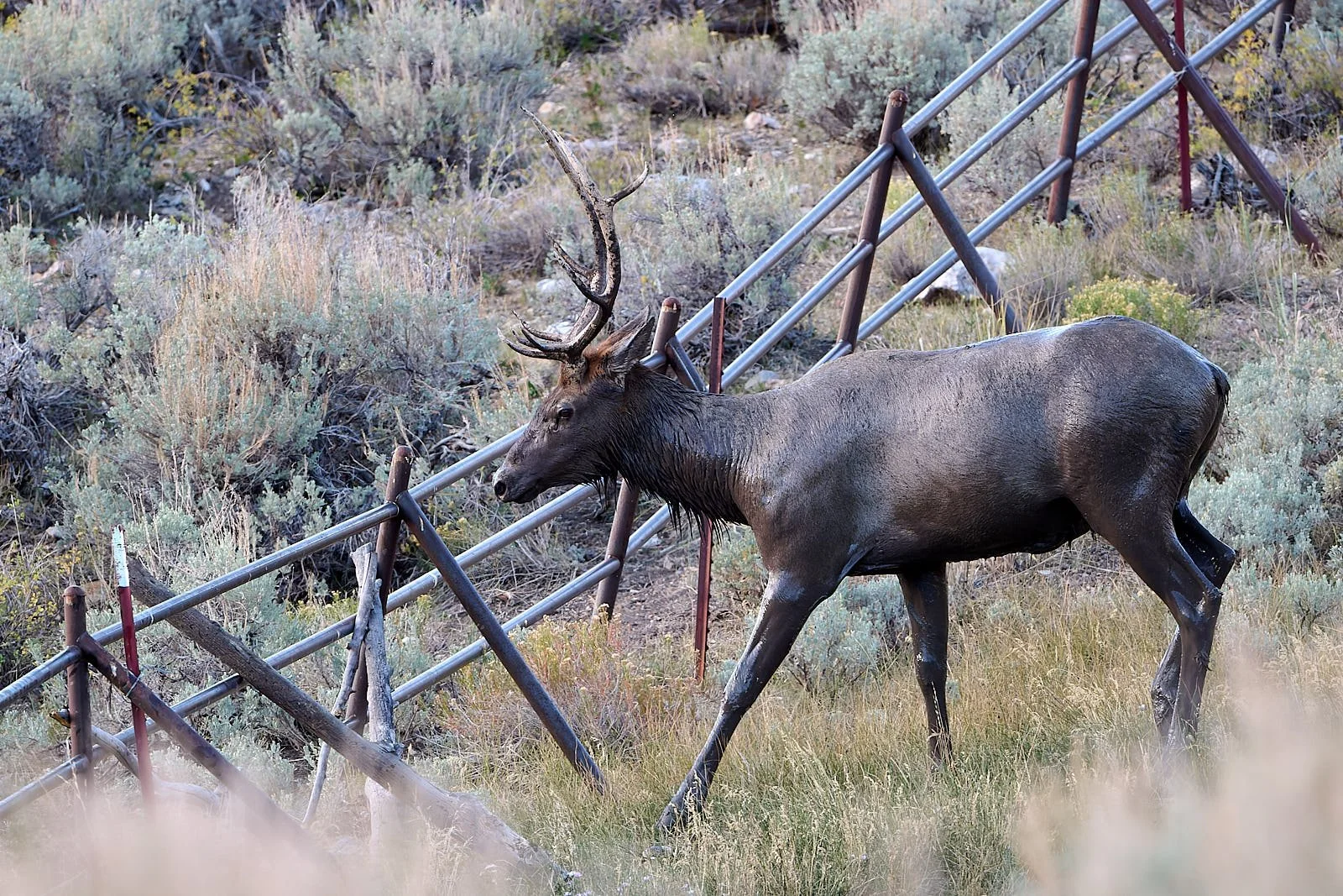
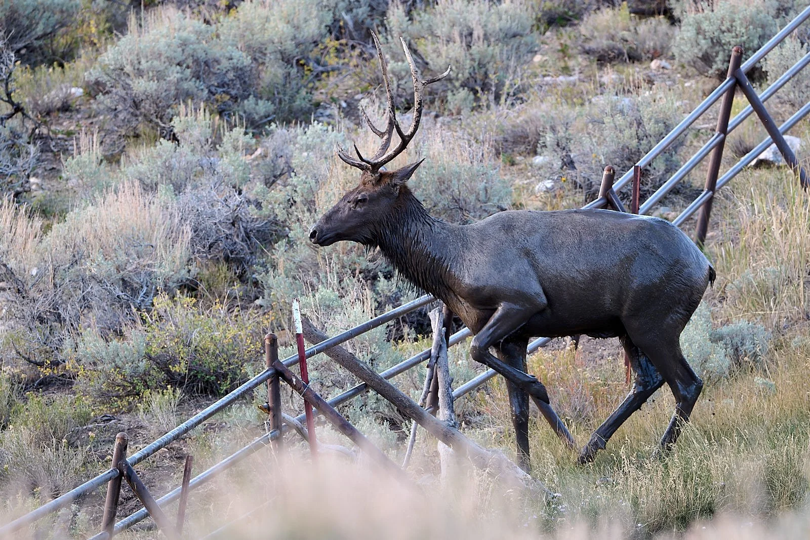
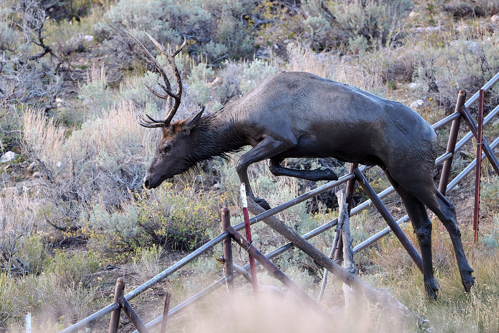
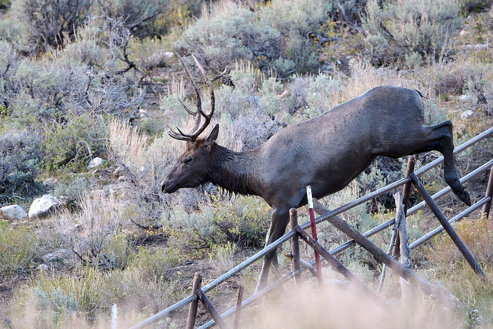
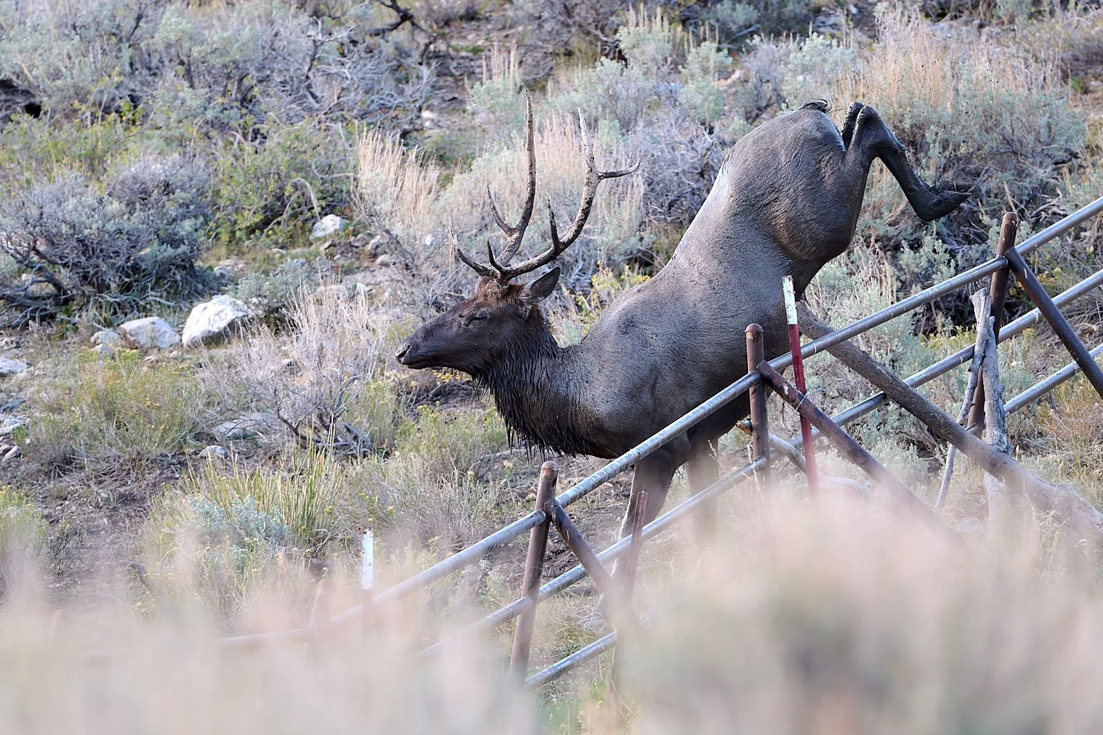
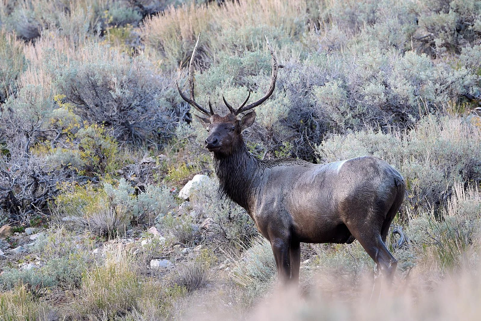
Nevada’s Rocky Mountain elk mortality.
A recent article reported the following: “Usually in the spring, elk do quite well here and have extremely high survival. But when state biologists first noticed these springtime mortality events over 10 years ago, they put GPS collars on the elk to learn more about the issue. It’s been pretty consistent, with the impacted population losing 10% to 30% of collared females each spring.”
The impacted elk die quite suddenly, and it appears to be heart-related. They have pericardial and thoracic effusions, plus necrotic lesions in the heart. Their internal body temperature is also high right before they die. However, the elk appear healthy, not in a weakened condition. Nevada Department of Wildlife researchers suspect the deaths may be related to a copper deficiency but need additional data.
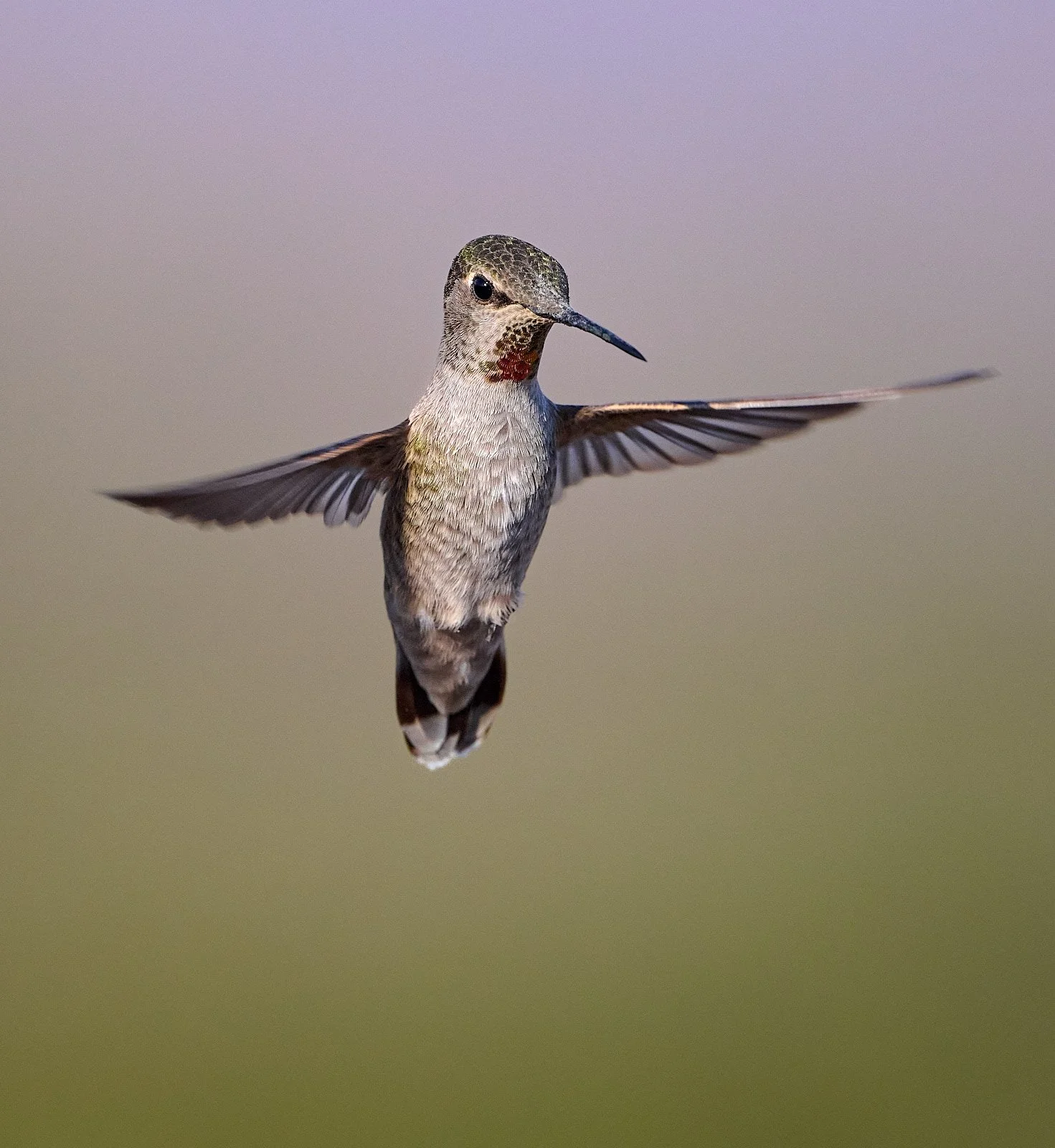
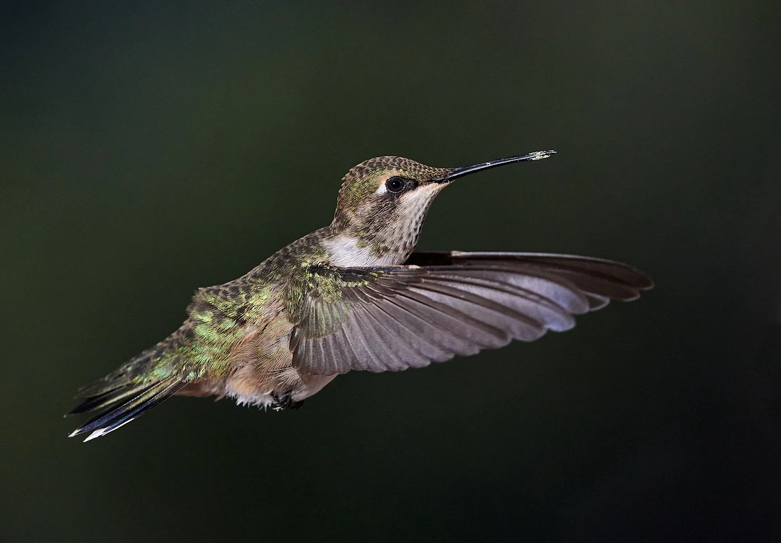
Anna’s Hummingbird
Bird Creek (elevation 7,350 feet)
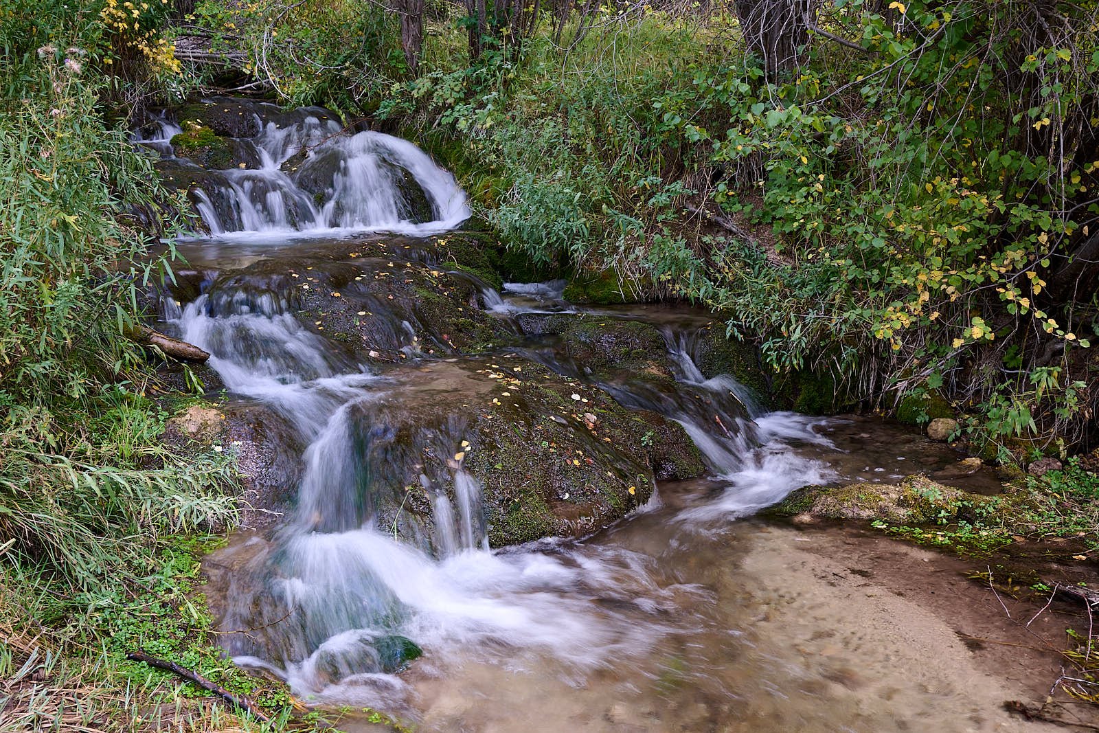
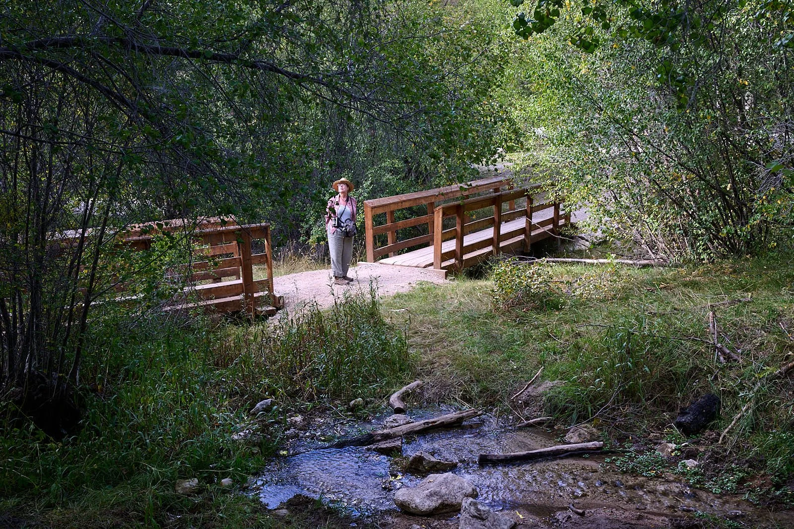
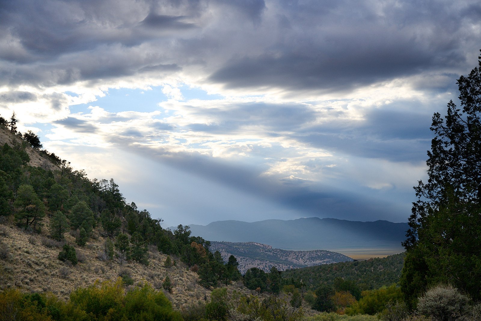
The well-maintained campground is aptly named (great birdlife), and cleverly designed around perennial Bird Creek.
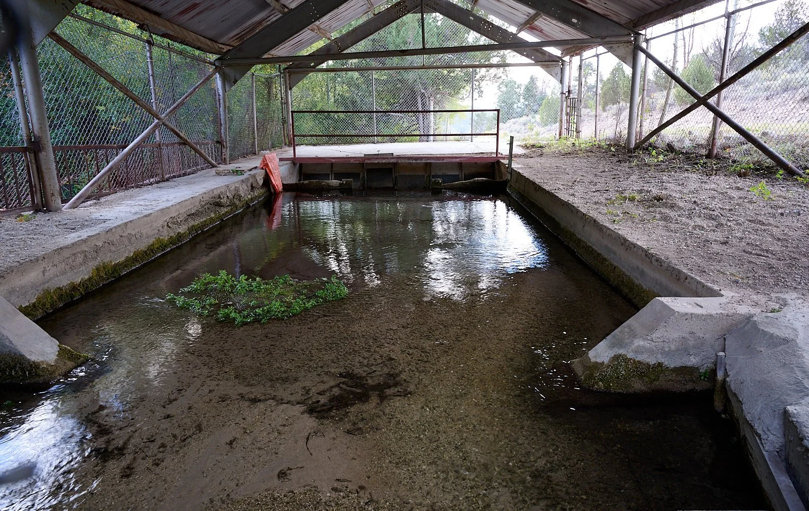
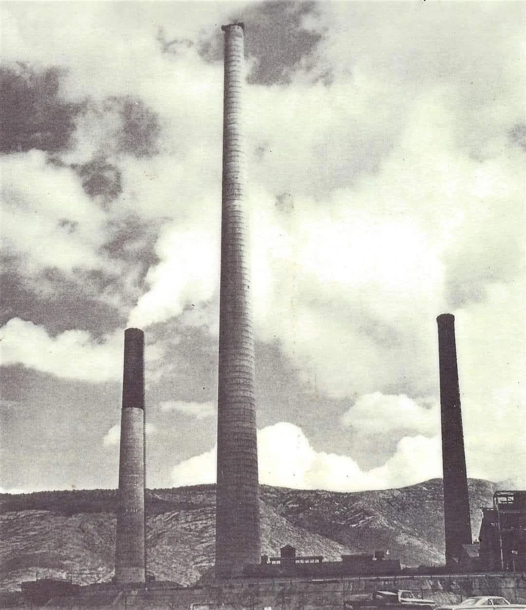
McGill Smelter
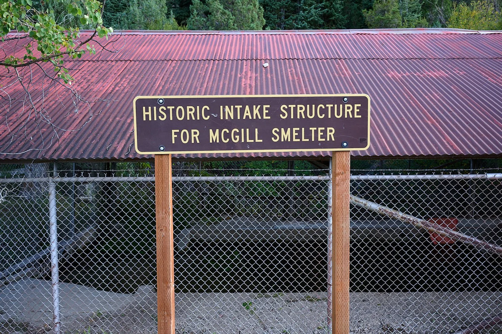
The National Forest preserves a historic structure which diverted some of Bird Creek’s flow into an aqueduct that fed into the Duck Valley watershed. Duck Valley lies within the Schell range. McGill, a company mining town of old, is situated one valley over to the west. In 1906, a 9-mile pipeline was built to bring water from Duck Creek to the McGill smelter. The smelter was erected by the Nevada Consolidated Copper Company and started operating in 1908. It processed ores from nearby copper mines, reaching maximum production in the 1930s, and was closed in 1983 because of declining copper prices and the depletion of high-grade ore. Today, McGill has about 1,000 residents.
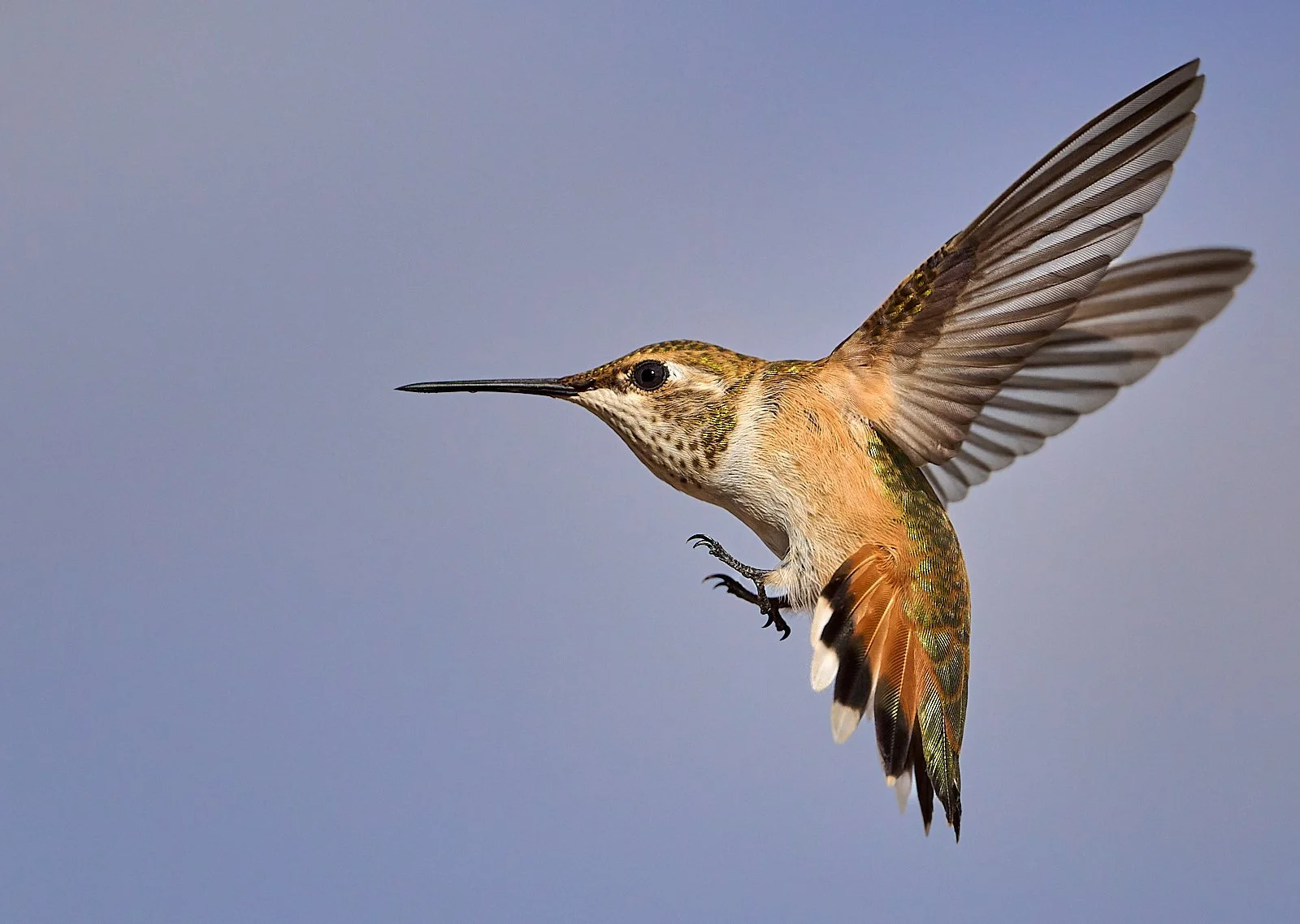
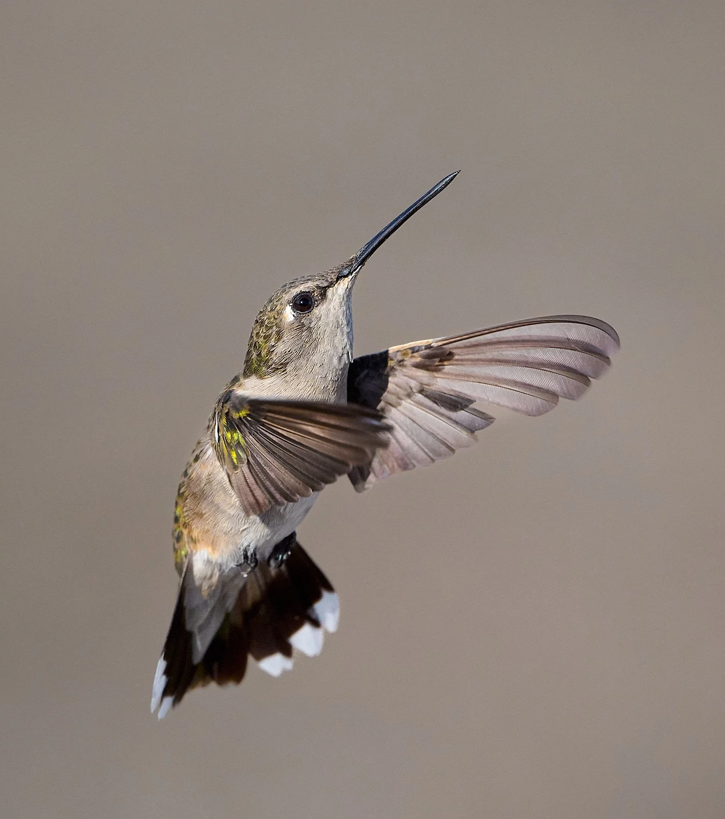
Rufous Hummingbird
Ruby Lake National Wildlife Refuge (elevation 6,150 feet)
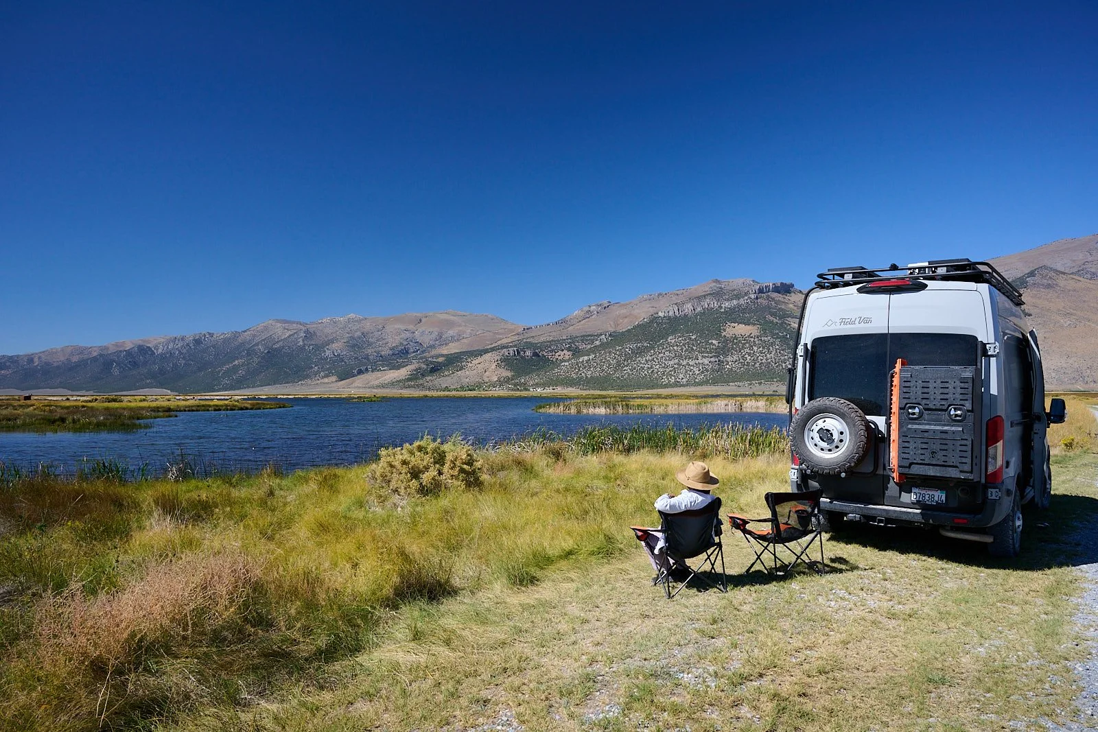
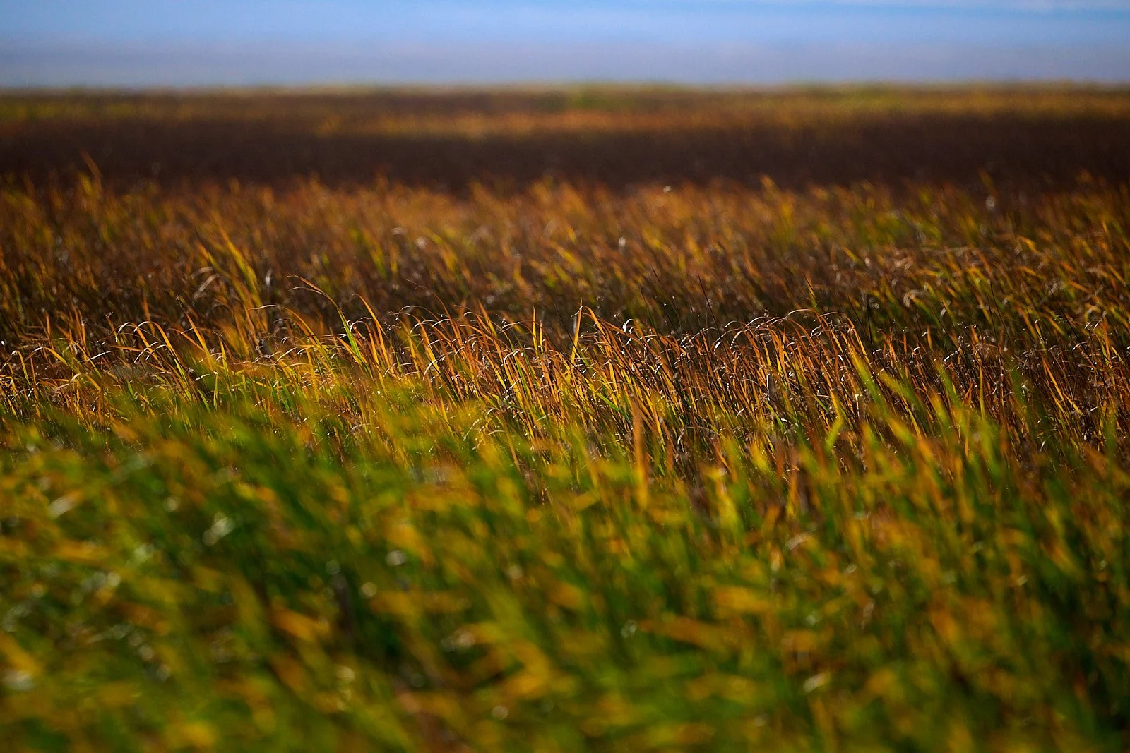
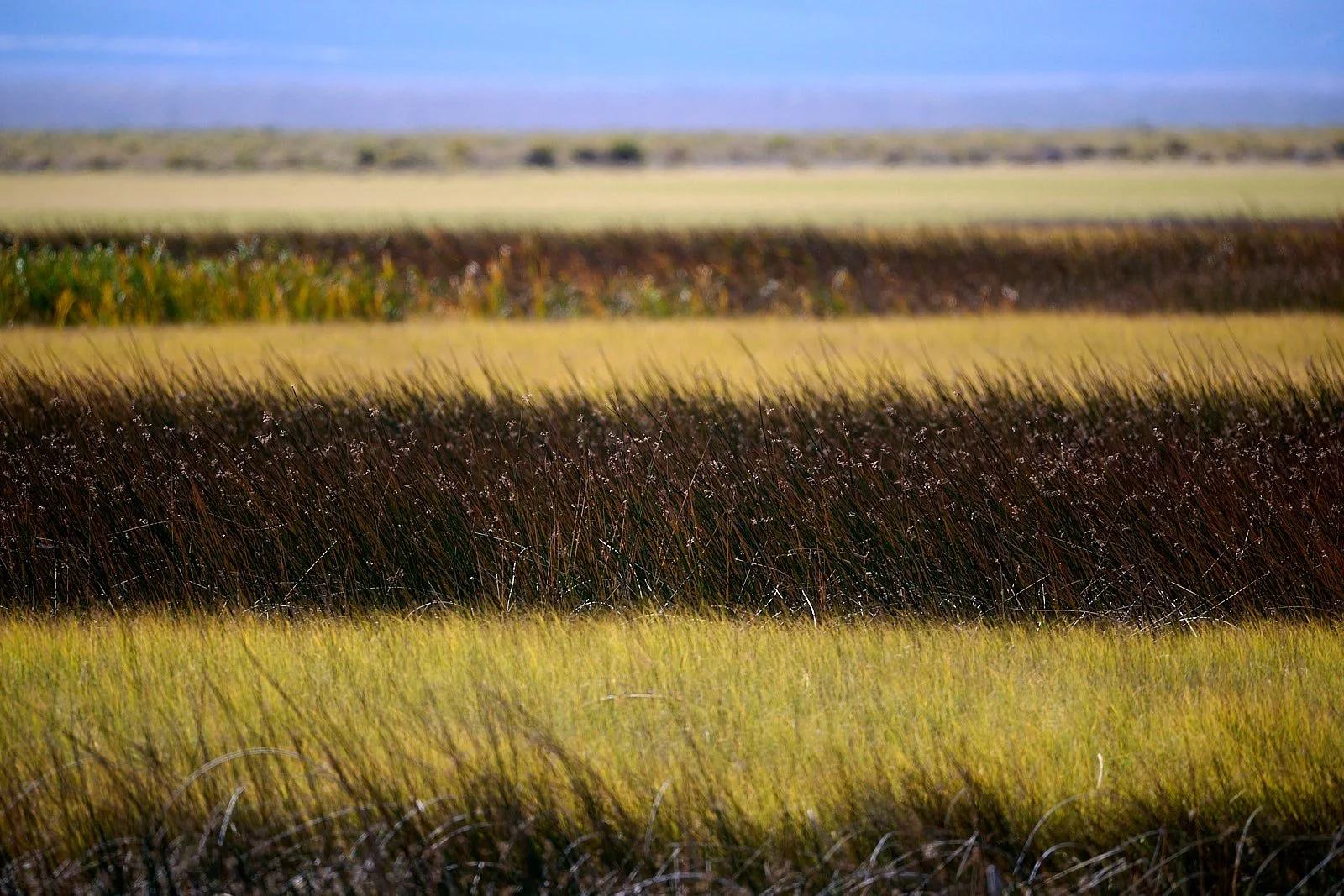
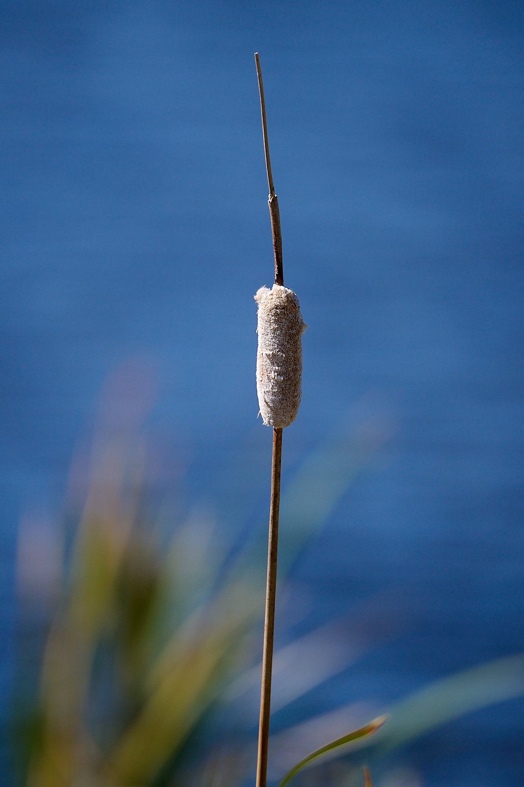
Ruby Lake National Wildlife Refuge lies at the southern end of Ruby Valley in northeast Nevada. The refuge encompasses 40,048 acres of marsh, meadows, grasslands, and brush-covered upland habitats. It was established in 1938 as “a refuge and breeding ground for migratory birds and other wildlife.”
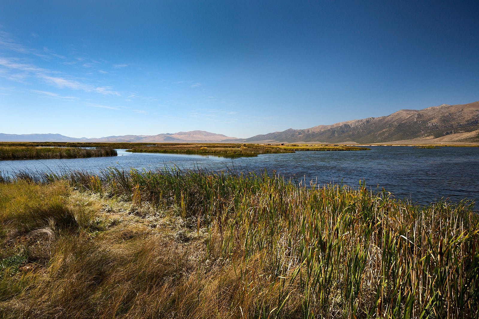
Ruby Mountains
The refuge is flanked on the west by the impressive Ruby Mountains, which were uplifted at least 6,500ft along a normal fault system and tilted towards the west. The bedrock of the range is mostly Precambrian and Paleozoic sedimentary rocks.
Streams draining from the mountains collect in an extensive wetland which, during the Pleistocene ice ages, was much bigger. About 17,000 years ago, 400 square miles of Ruby Valley was submerged by Lake Franklin to a depth of 100 feet.

Rufous Hummingbird
Wildlife Management
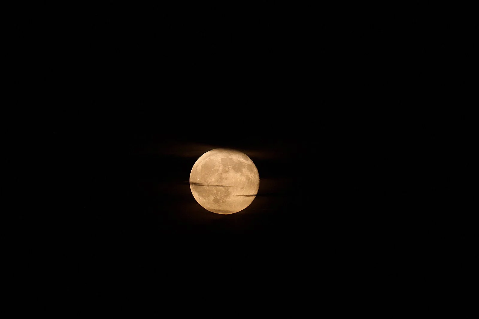
We camped at a National Forest campground (South Ruby). Our neighbor, an Army Veteran, had a tag to hunt deer using a muzzle-loader. At night, we saw lights moving out on the marshes. Refuge staff take advantage of moonless nights to band wildfowl. Apparently, the birds are reluctant to fly on dark nights and can be herded by airboats and captured with scoop nets.
Water birds
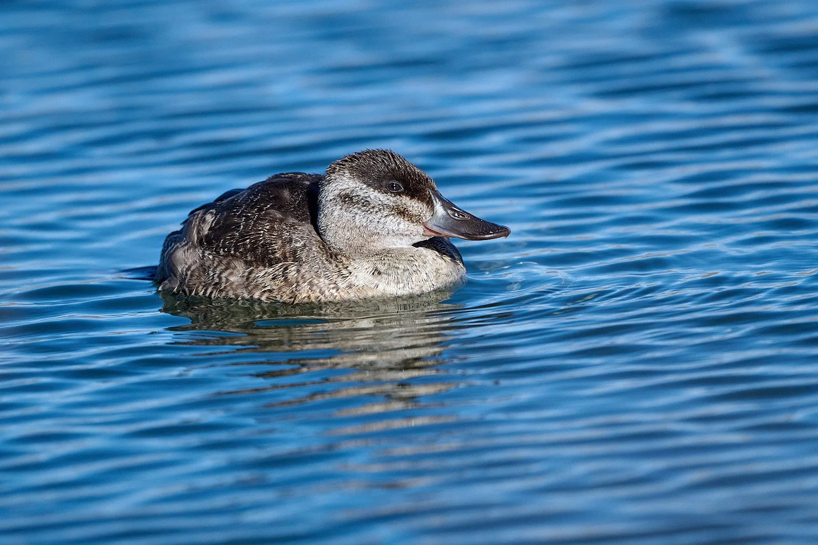
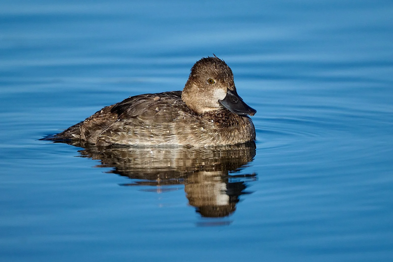
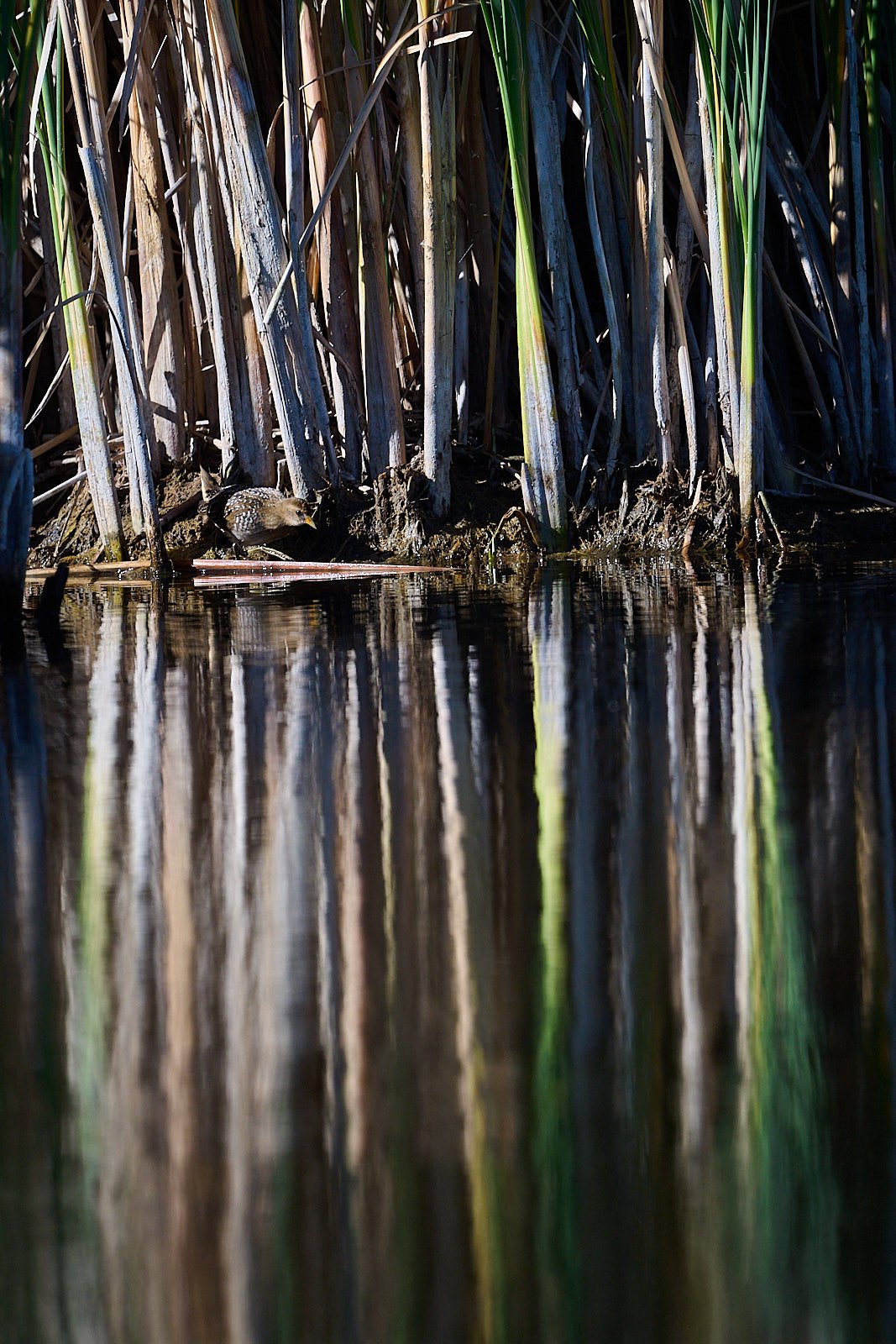
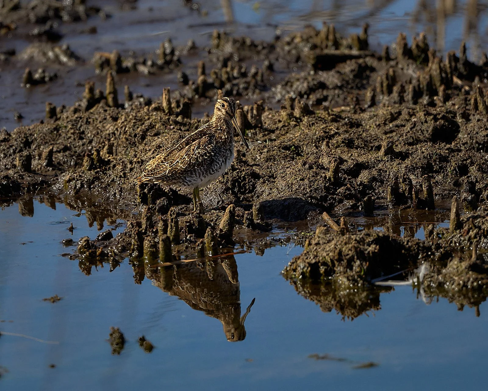
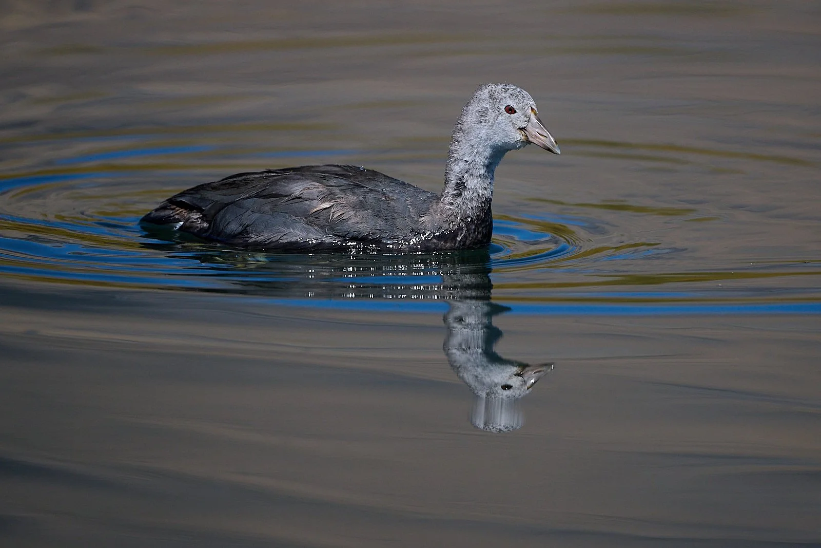
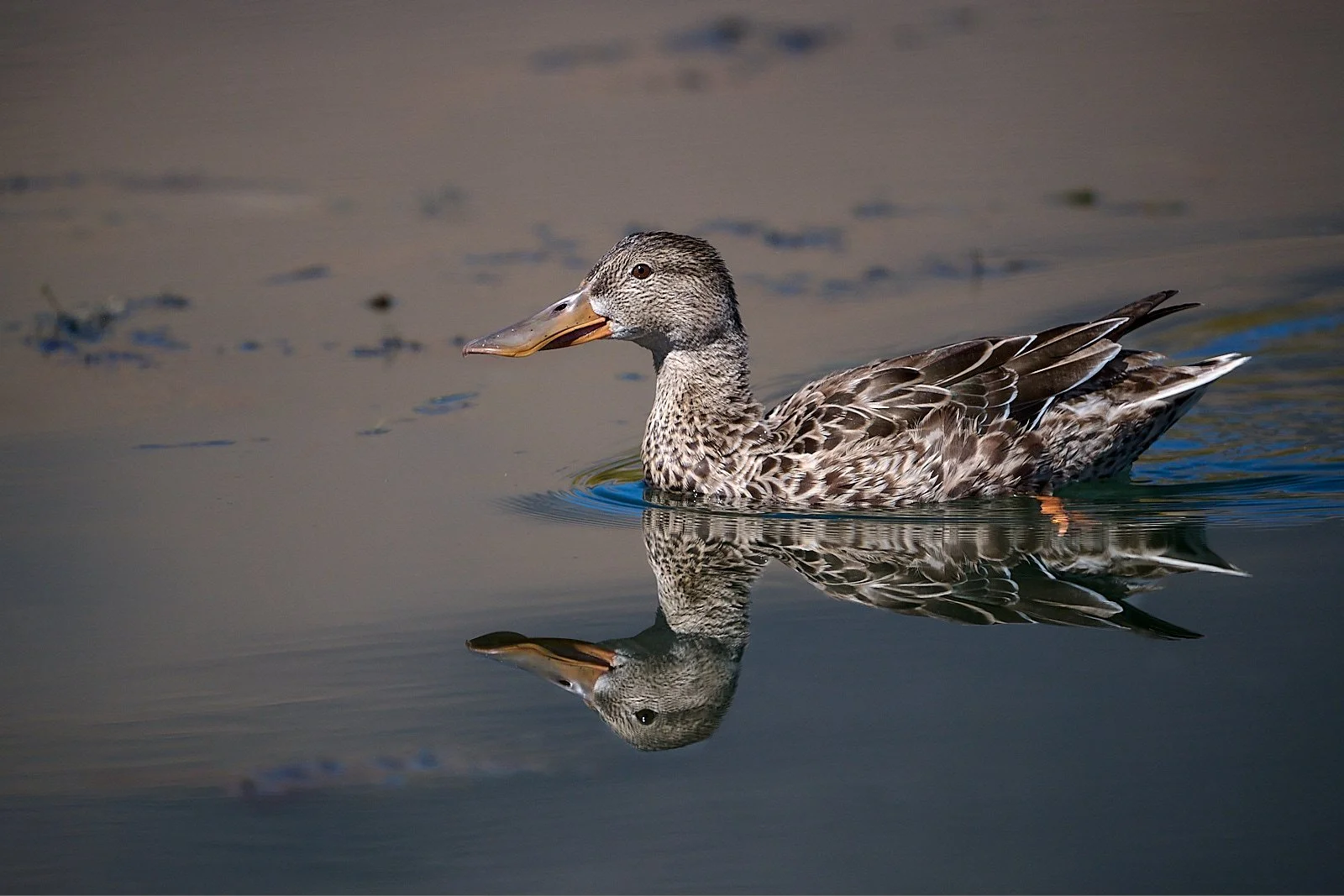
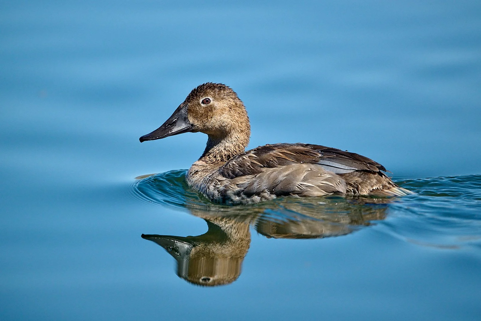
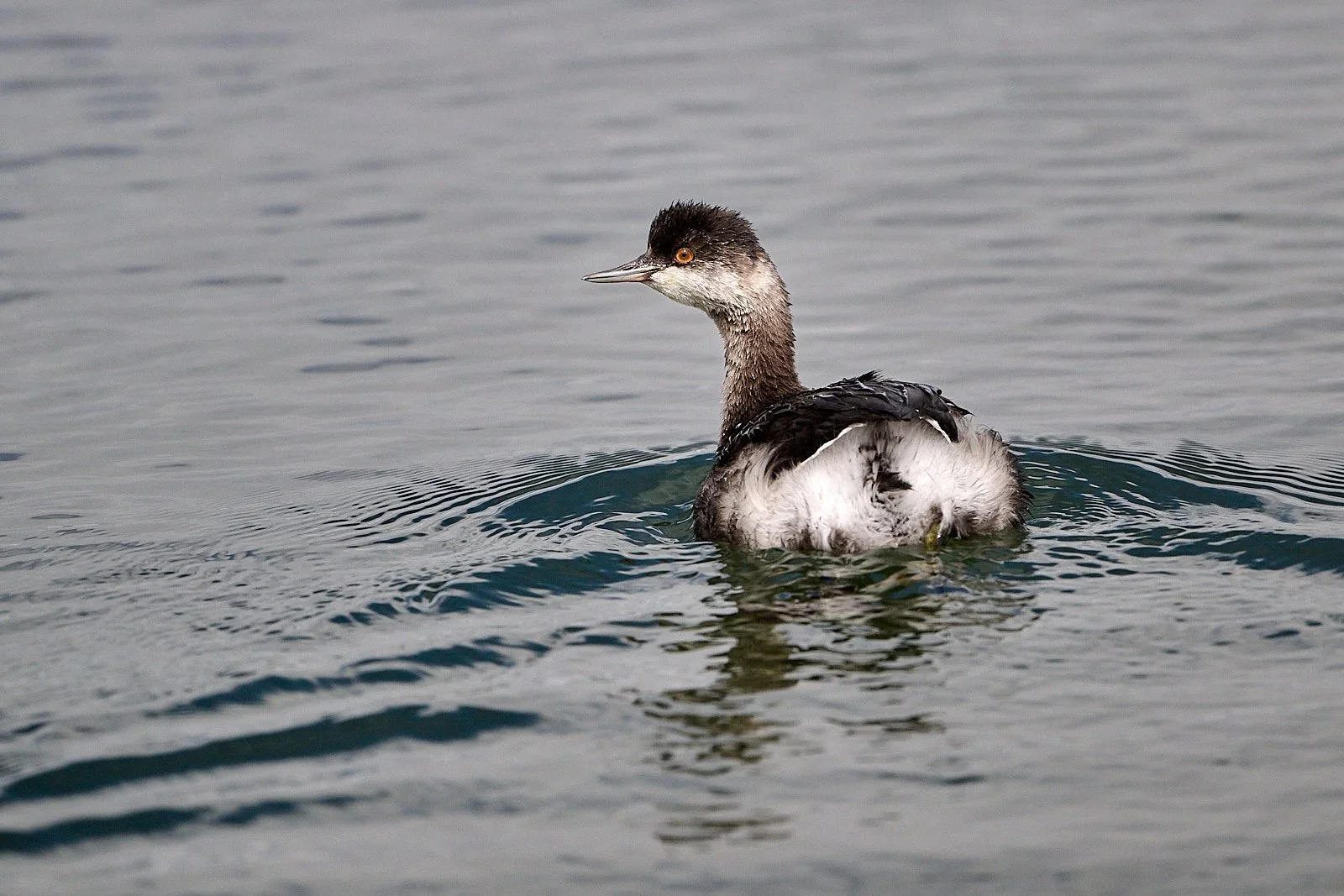
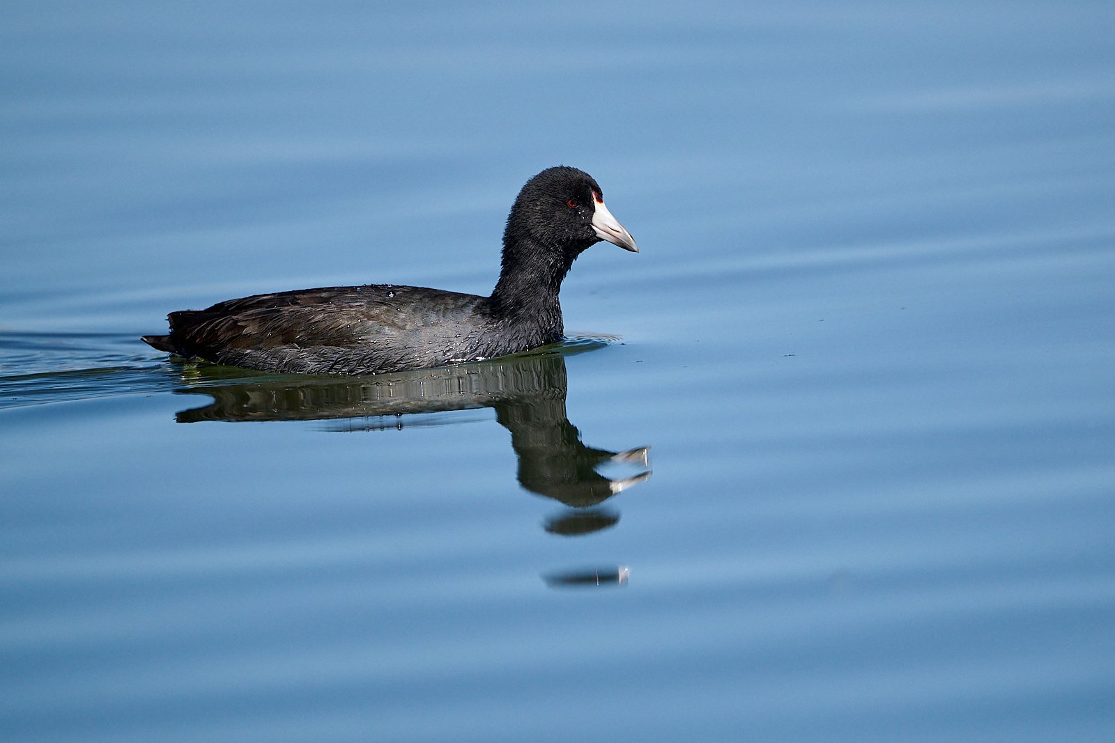
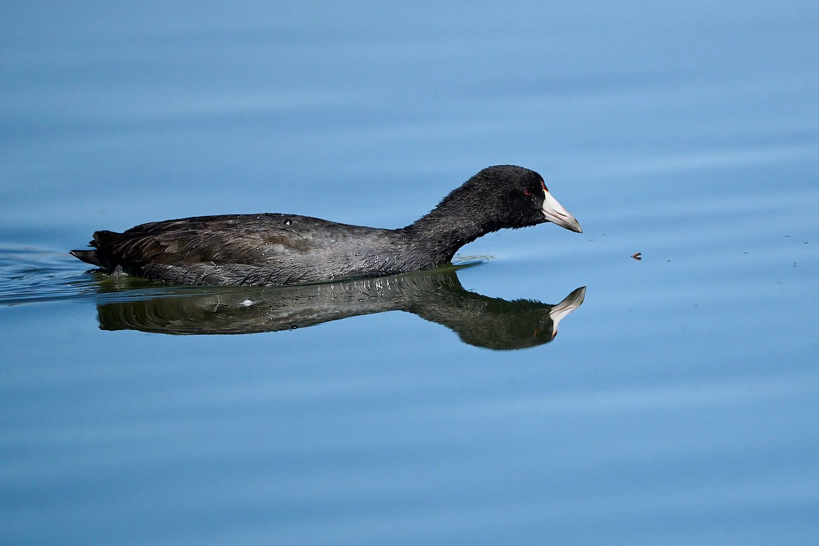
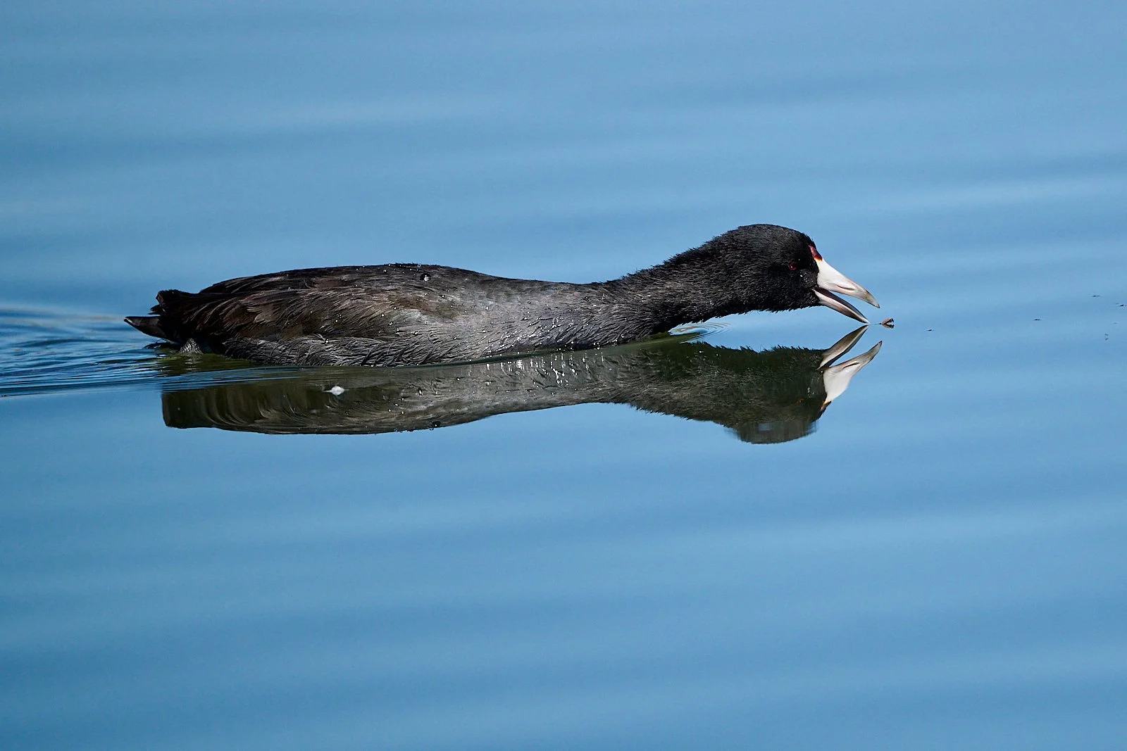
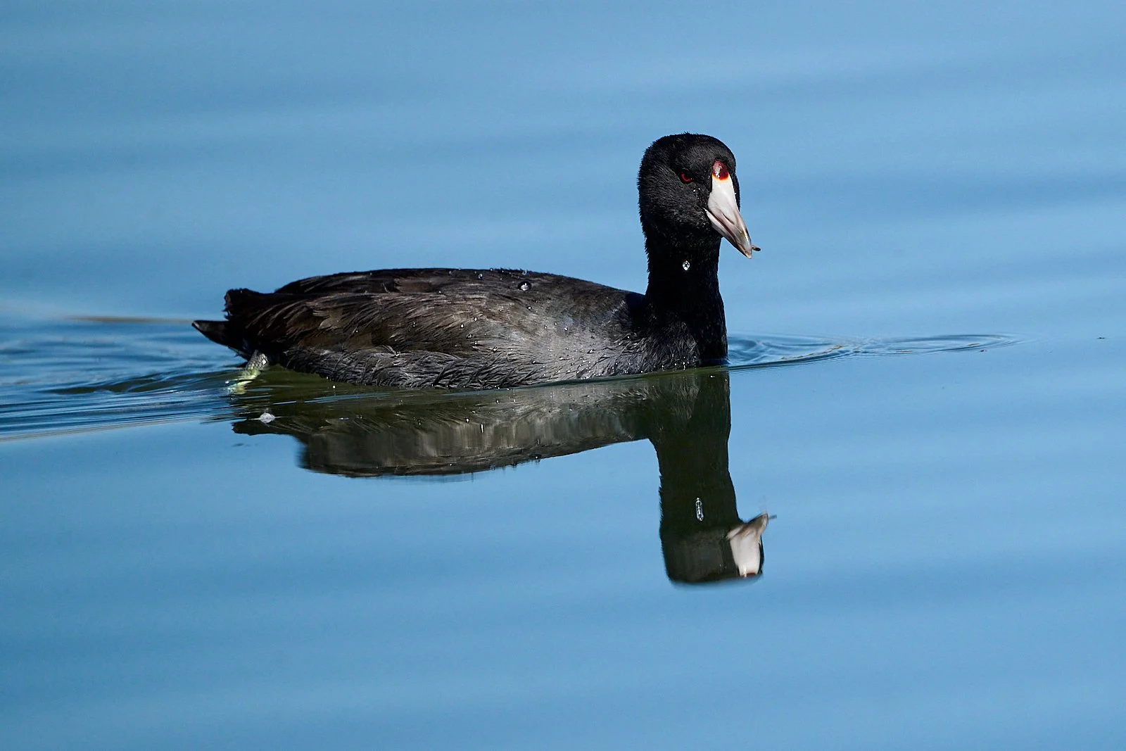
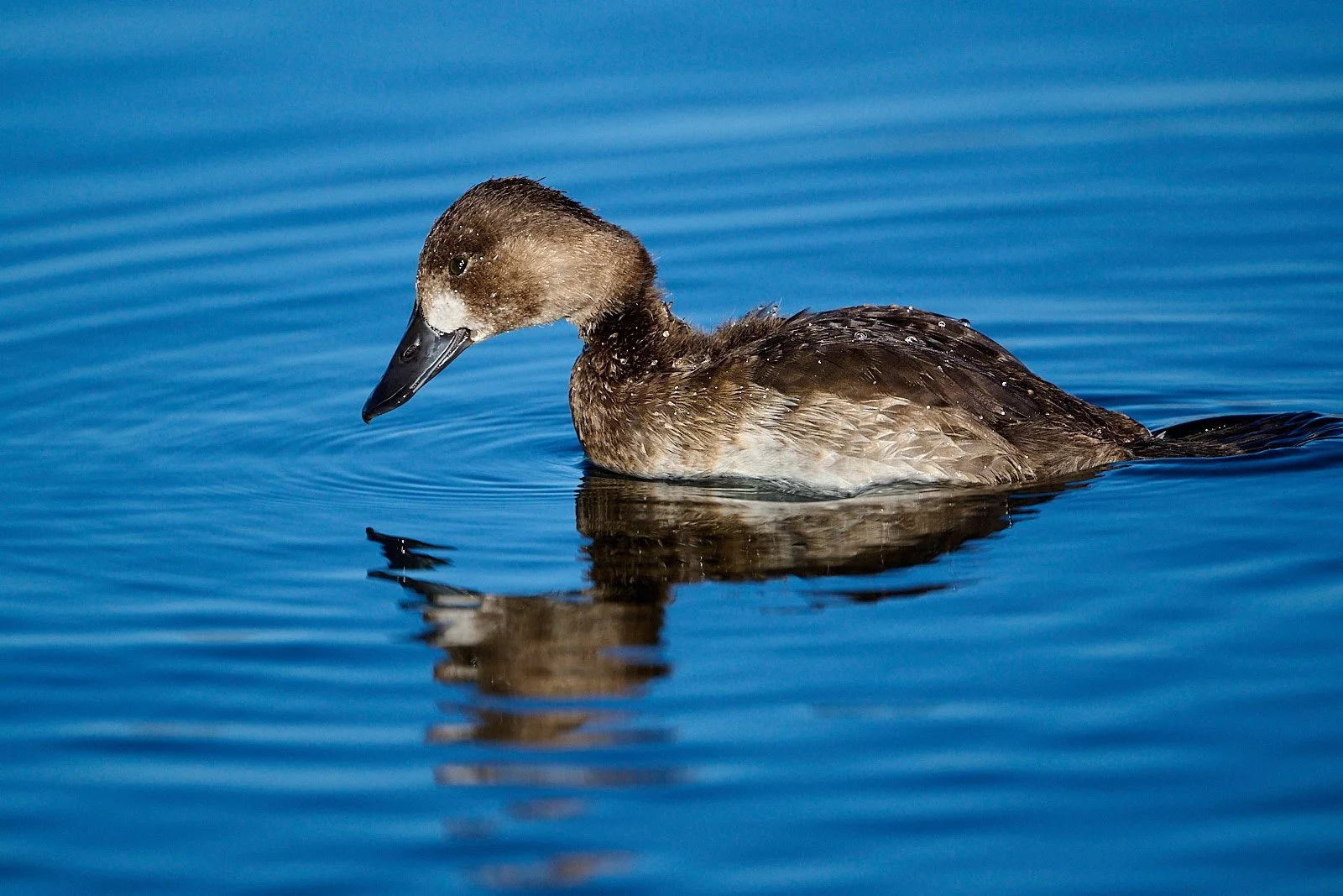
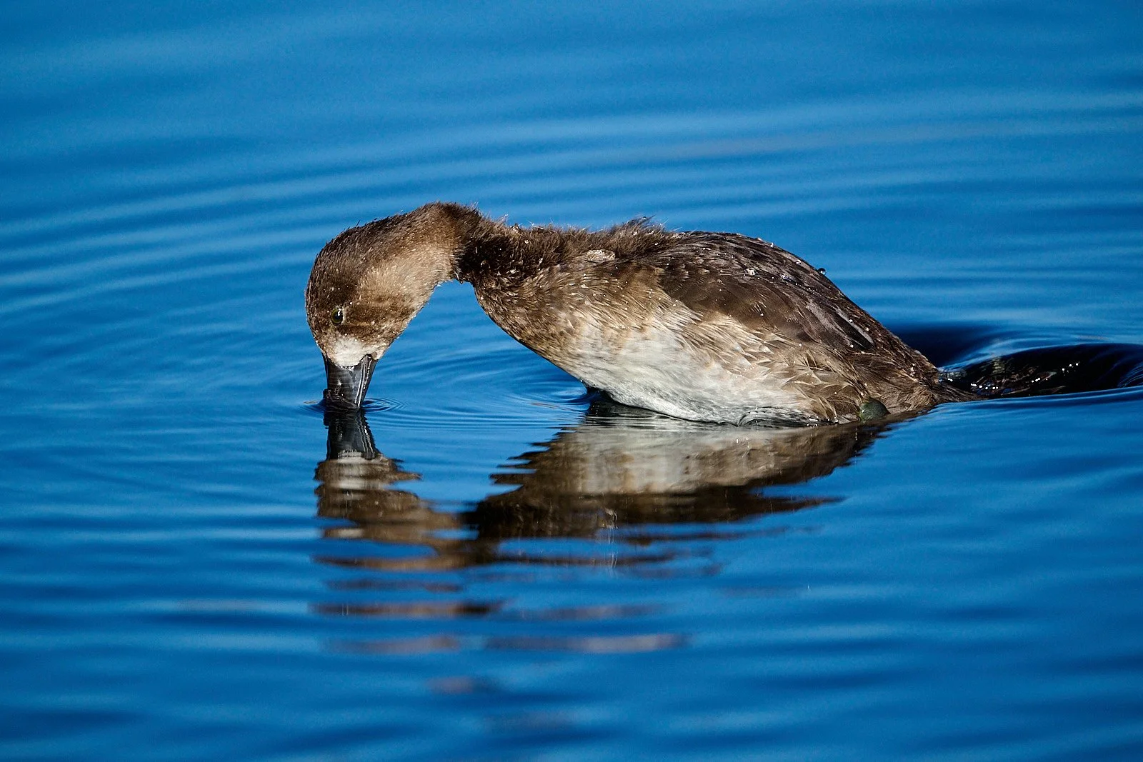
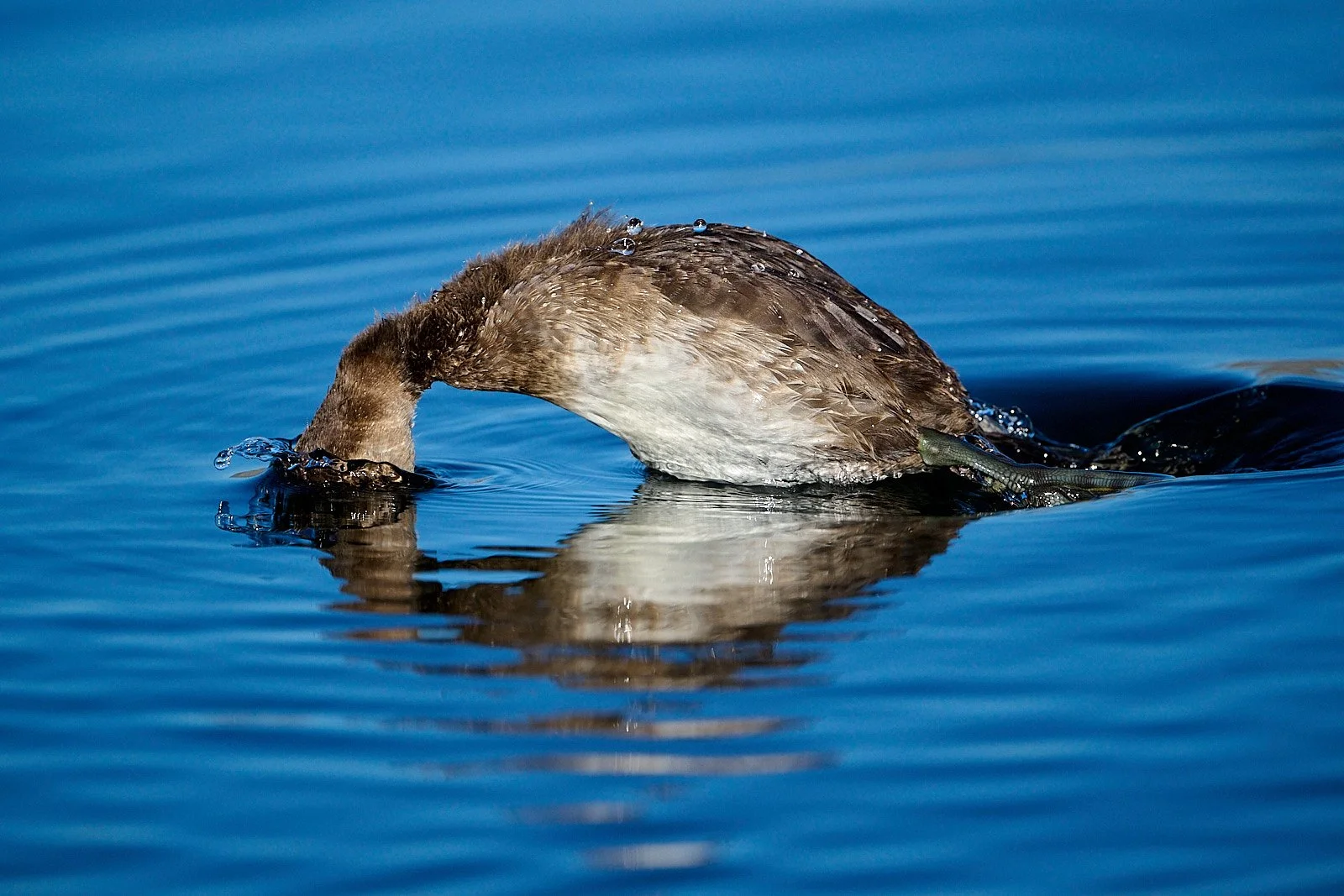
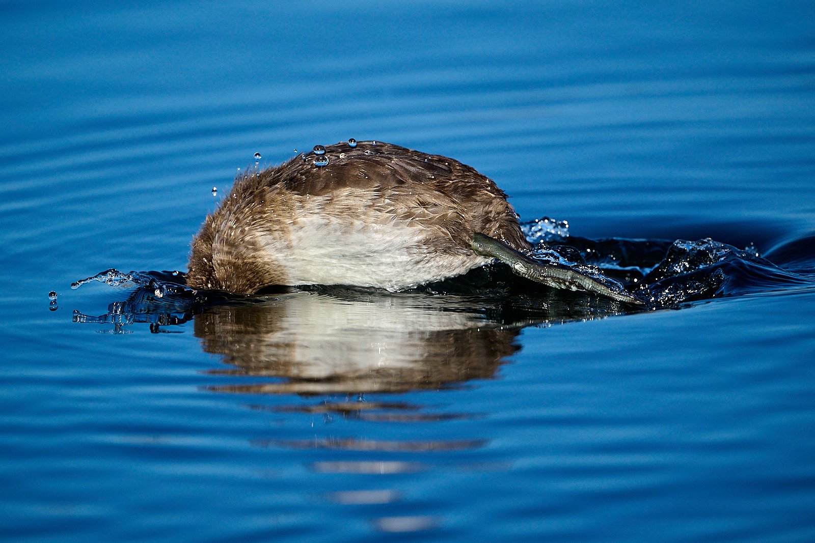
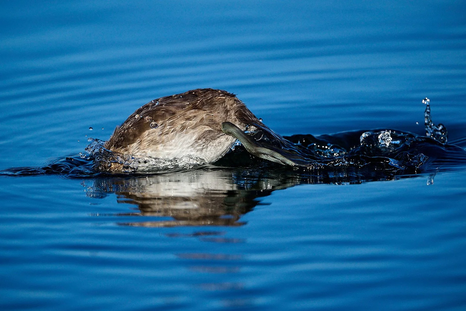
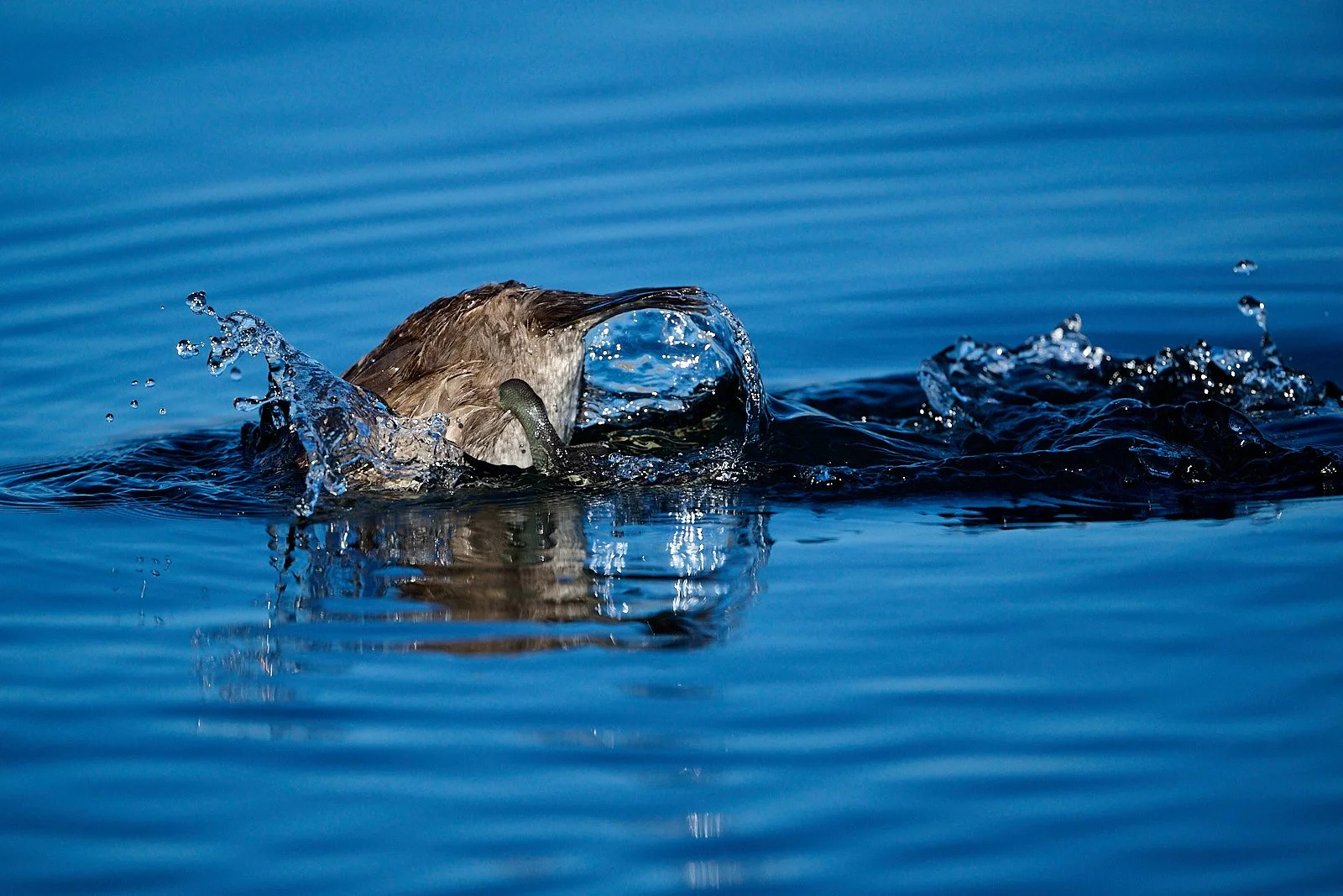
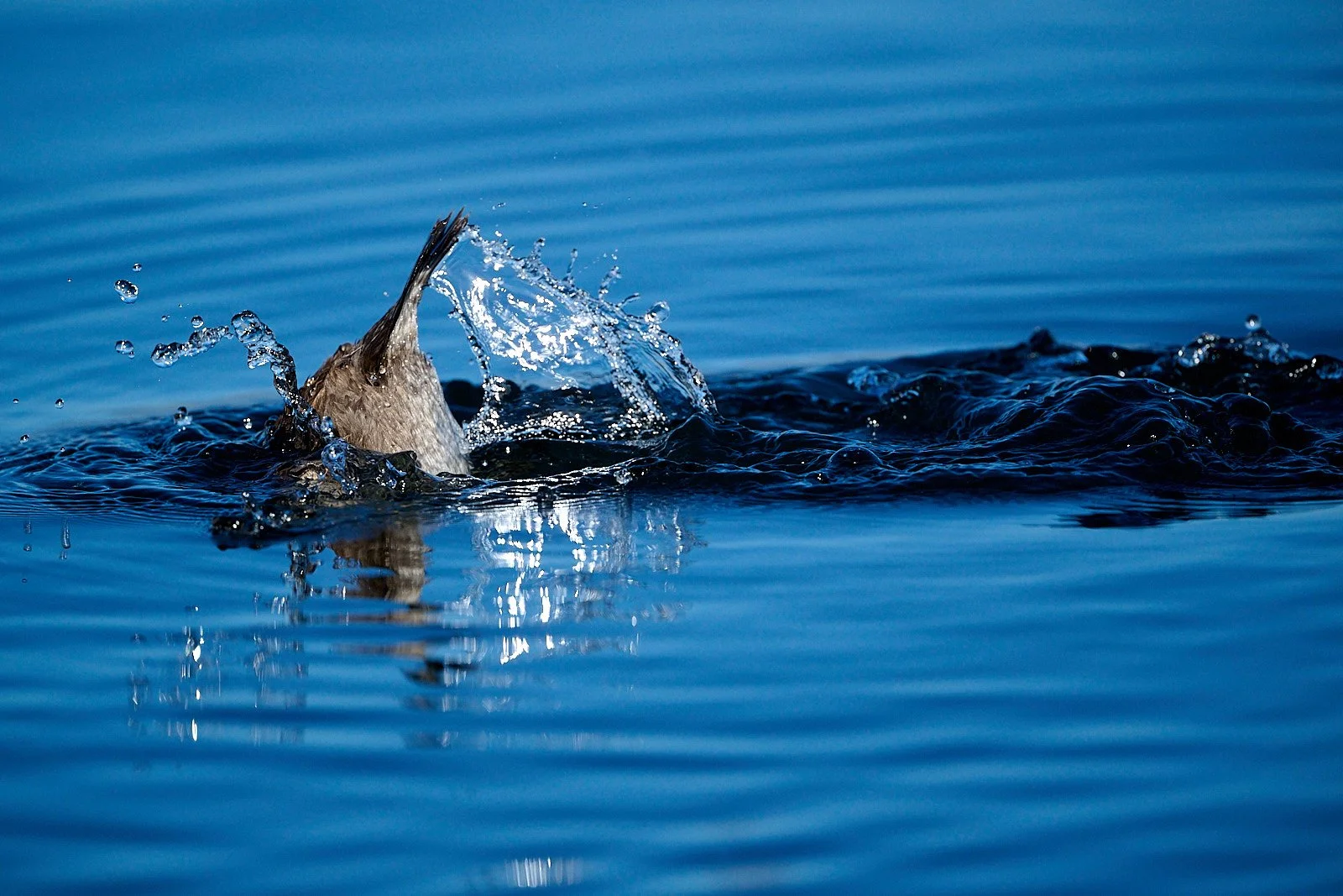
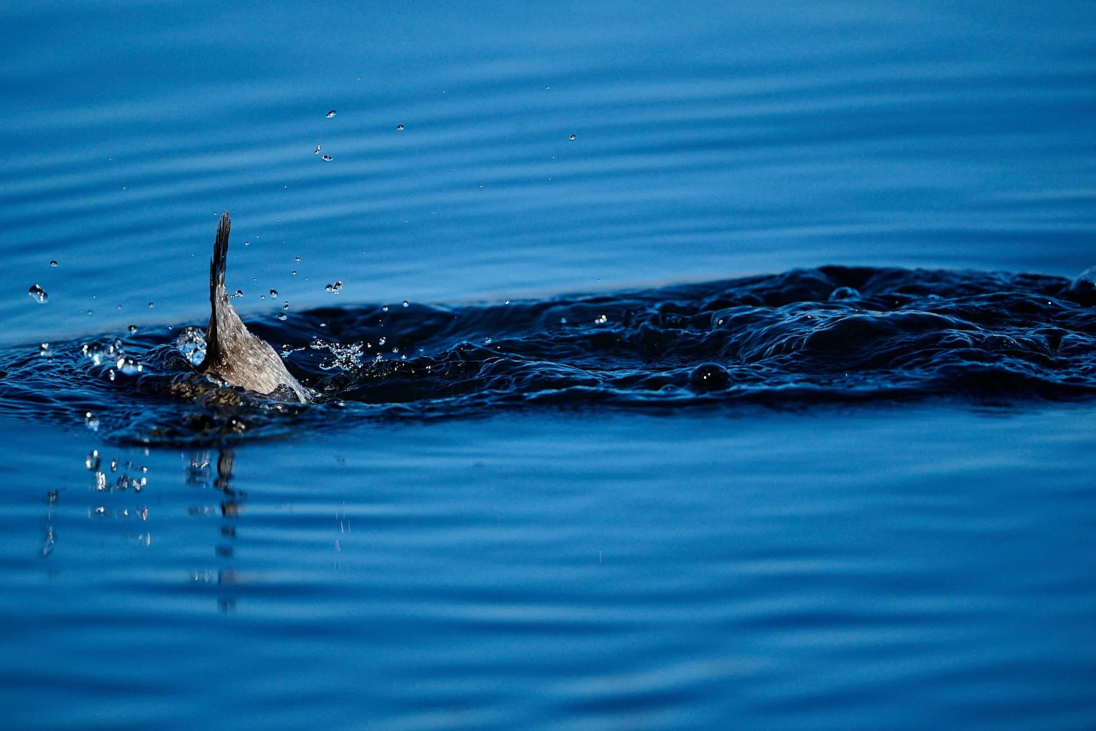
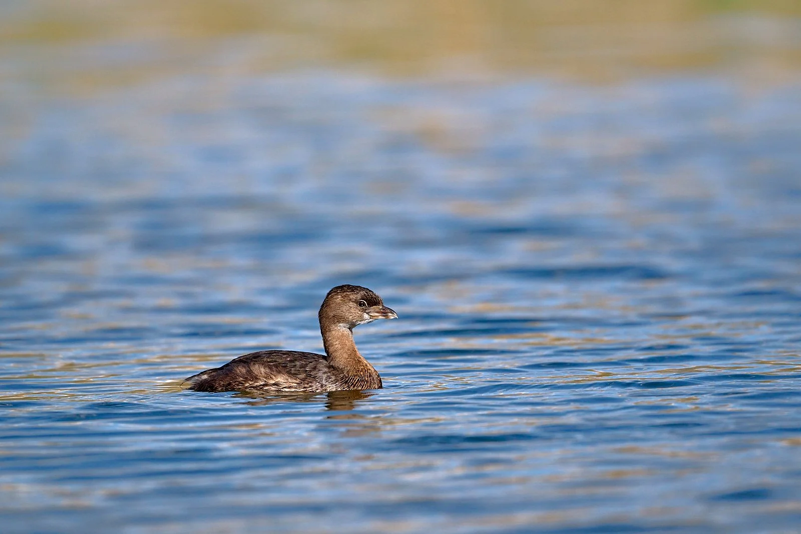
Lesser Scaup
This medium-sized diving duck is one of the most abundant and widespread of North American ducks. Breeders favor large seasonal and small semipermanent wetlands and lakes with emergent vegetation in Alaska and Canada. Adults and ducklings are mainly carnivorous, consuming aquatic invertebrates (mainly crustaceans, insects, and mollusks).
From: Birds of the World, Cornell Lab of Ornithology
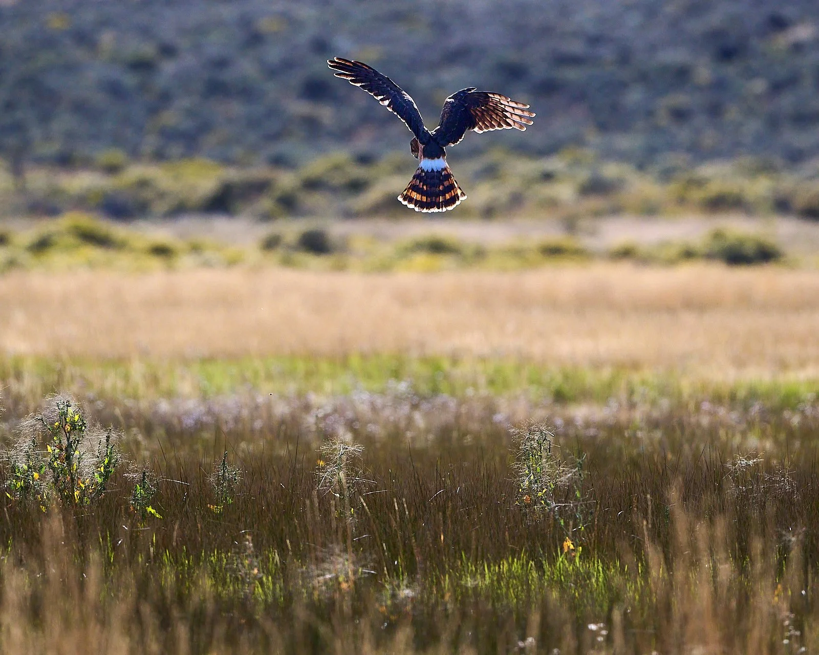
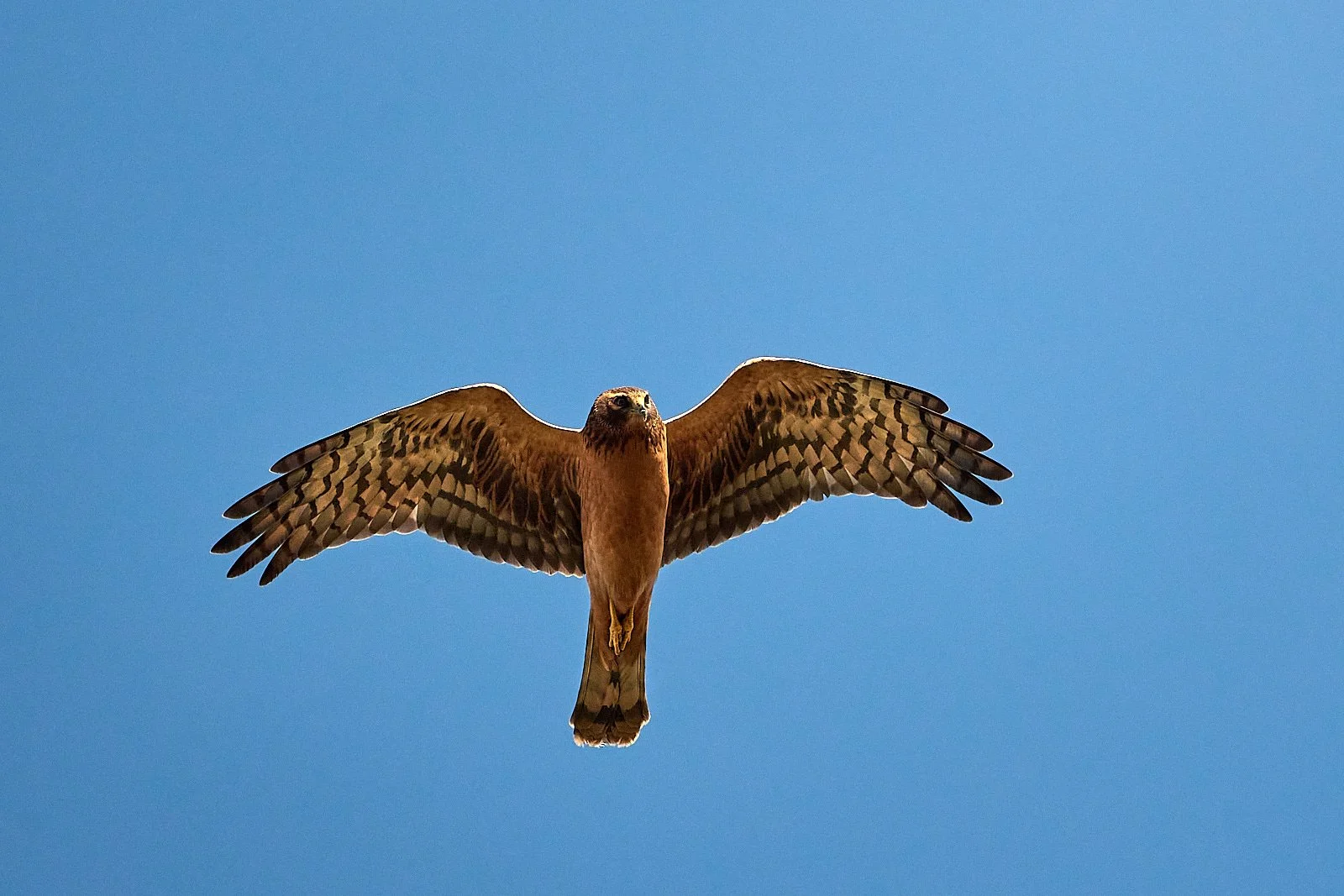
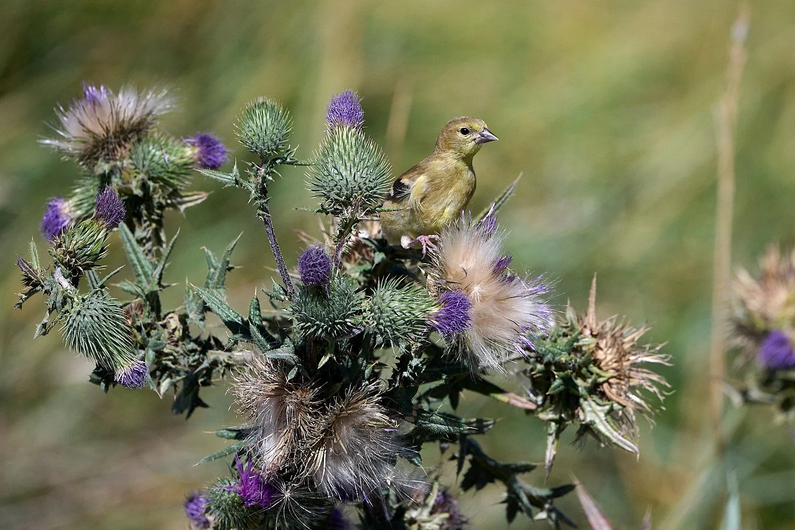
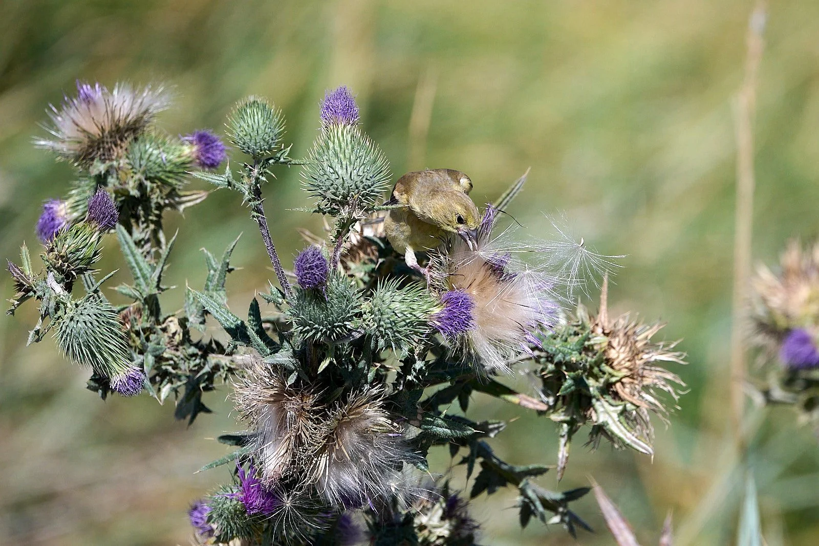
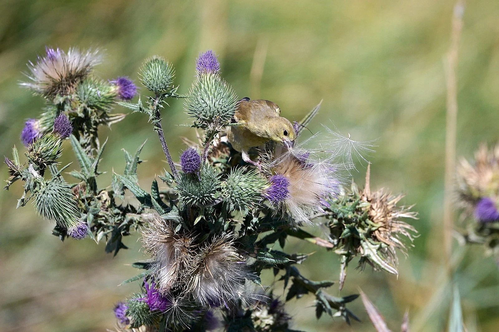
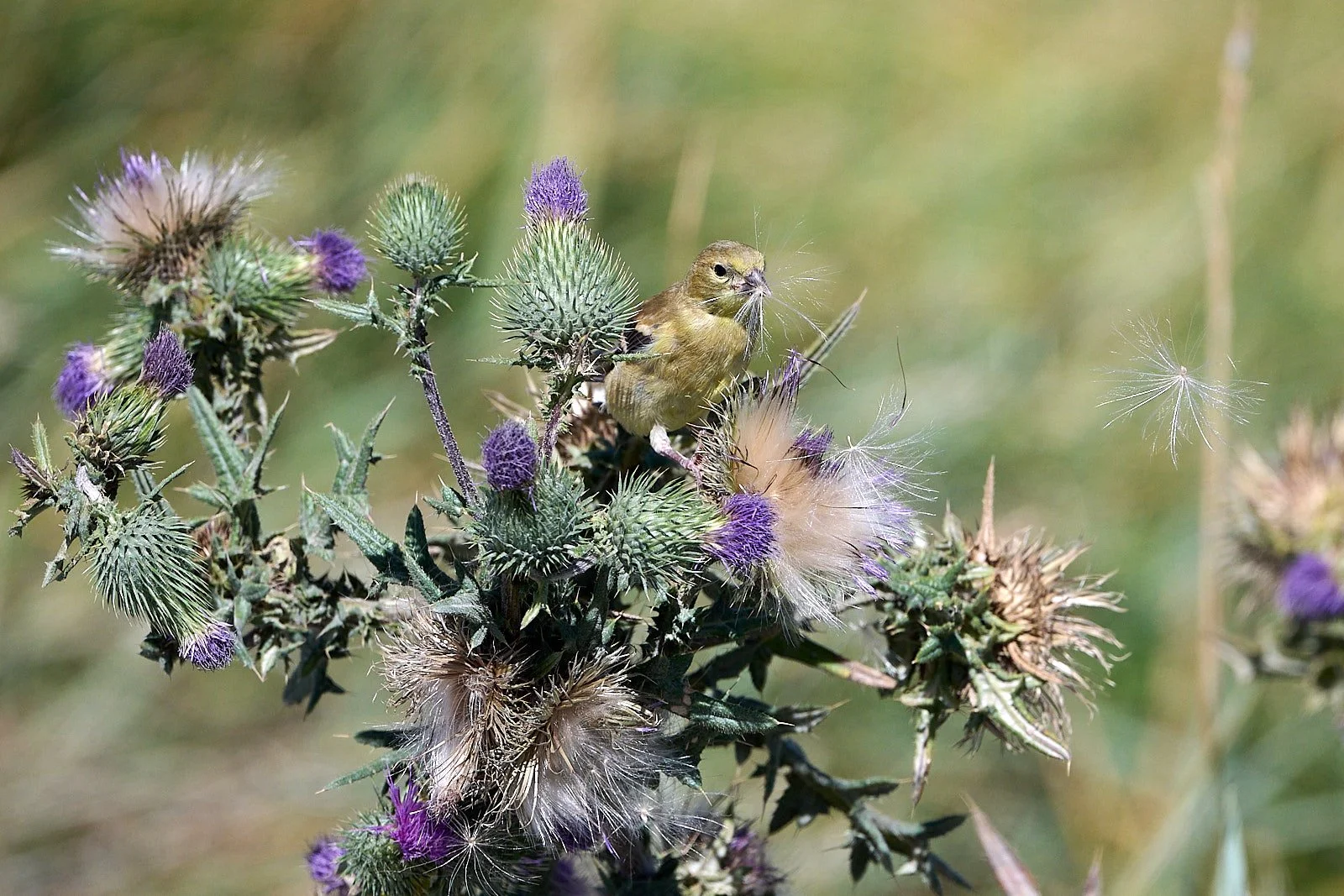
Land birds

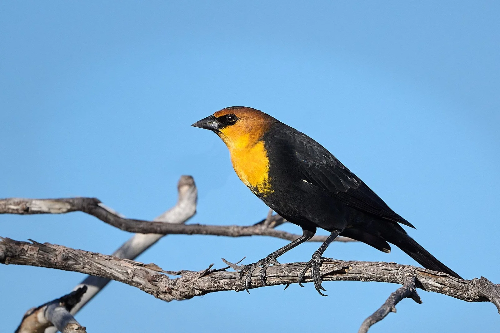
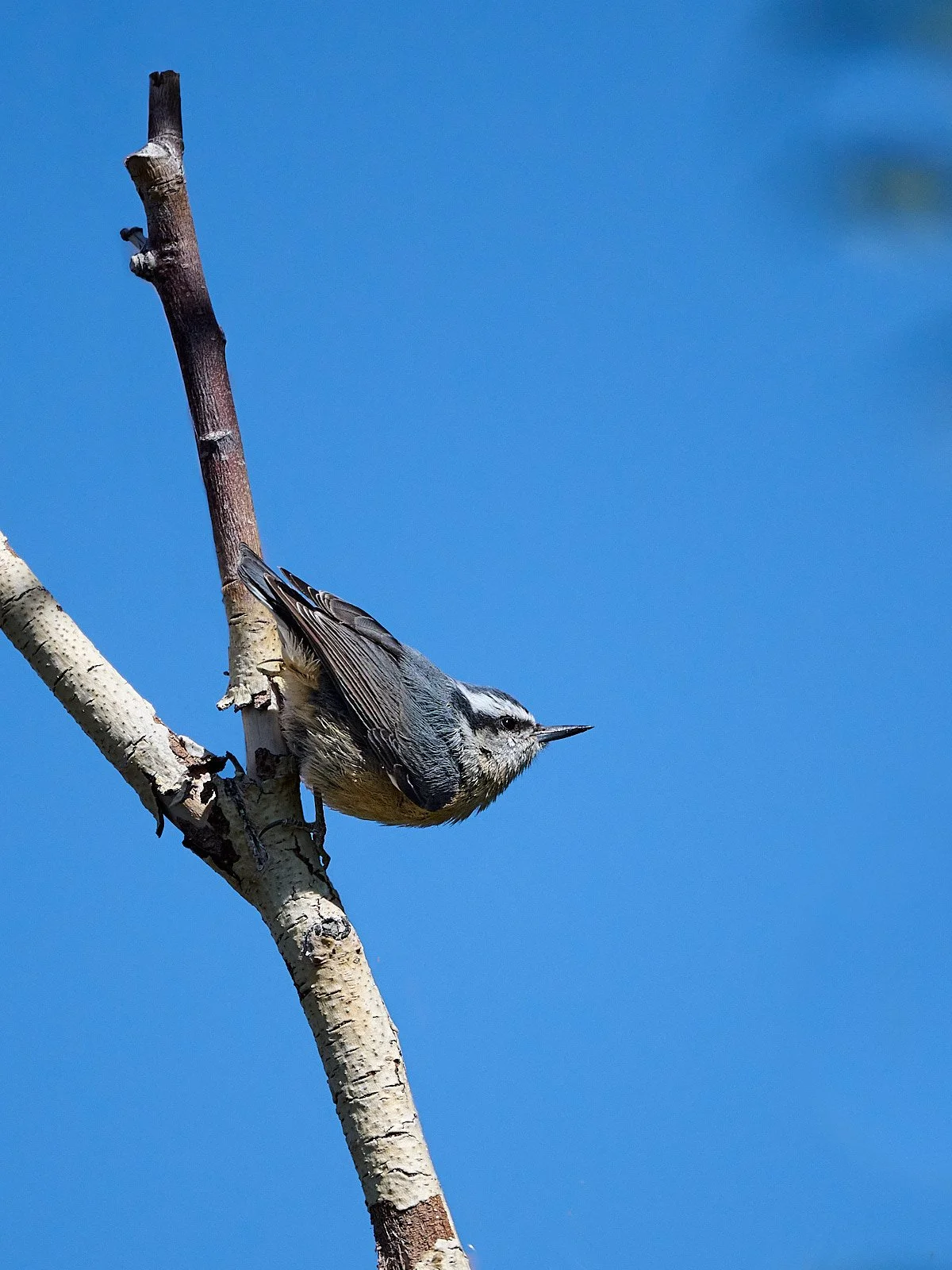
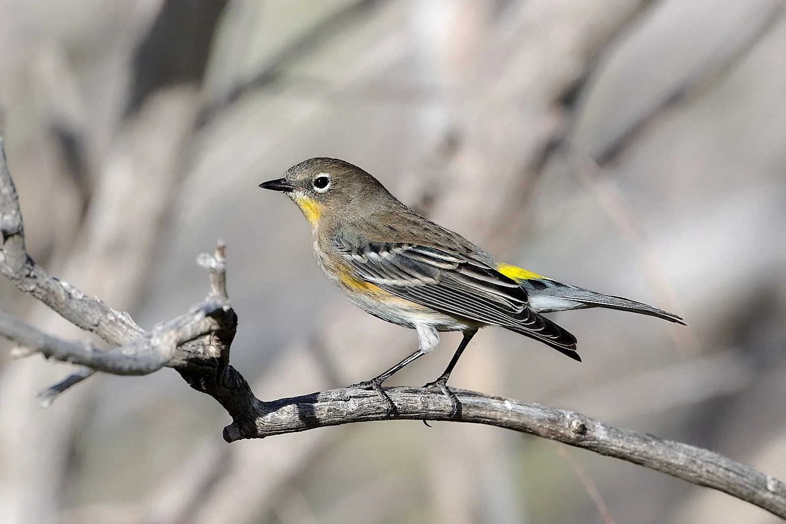
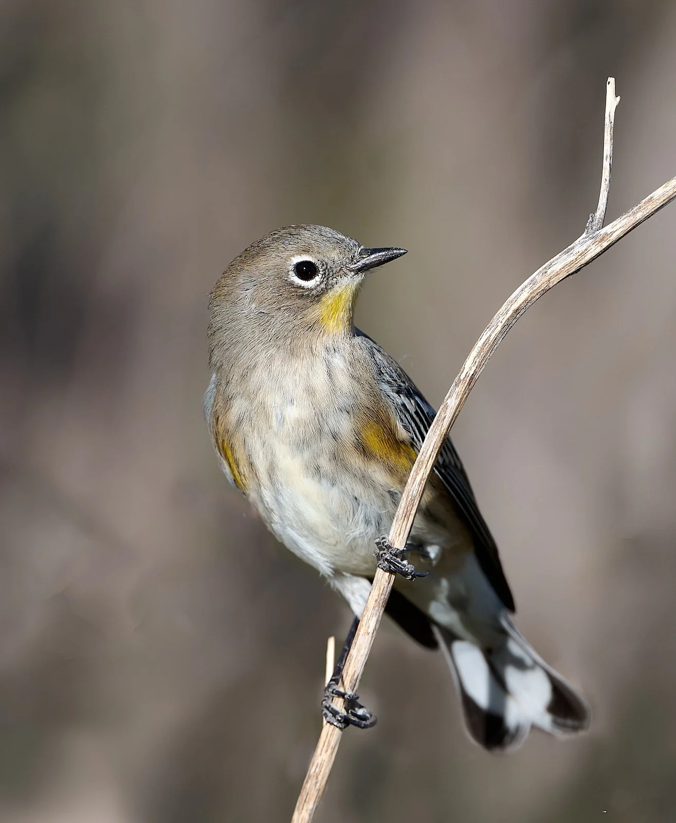
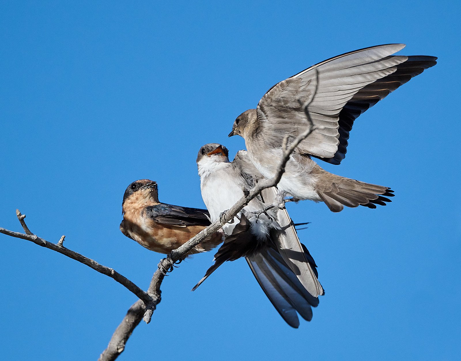
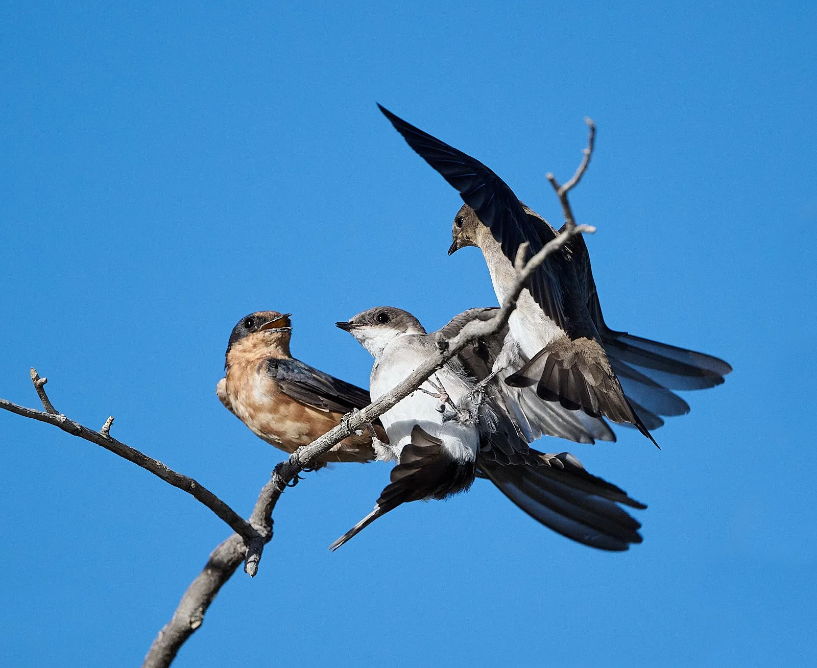
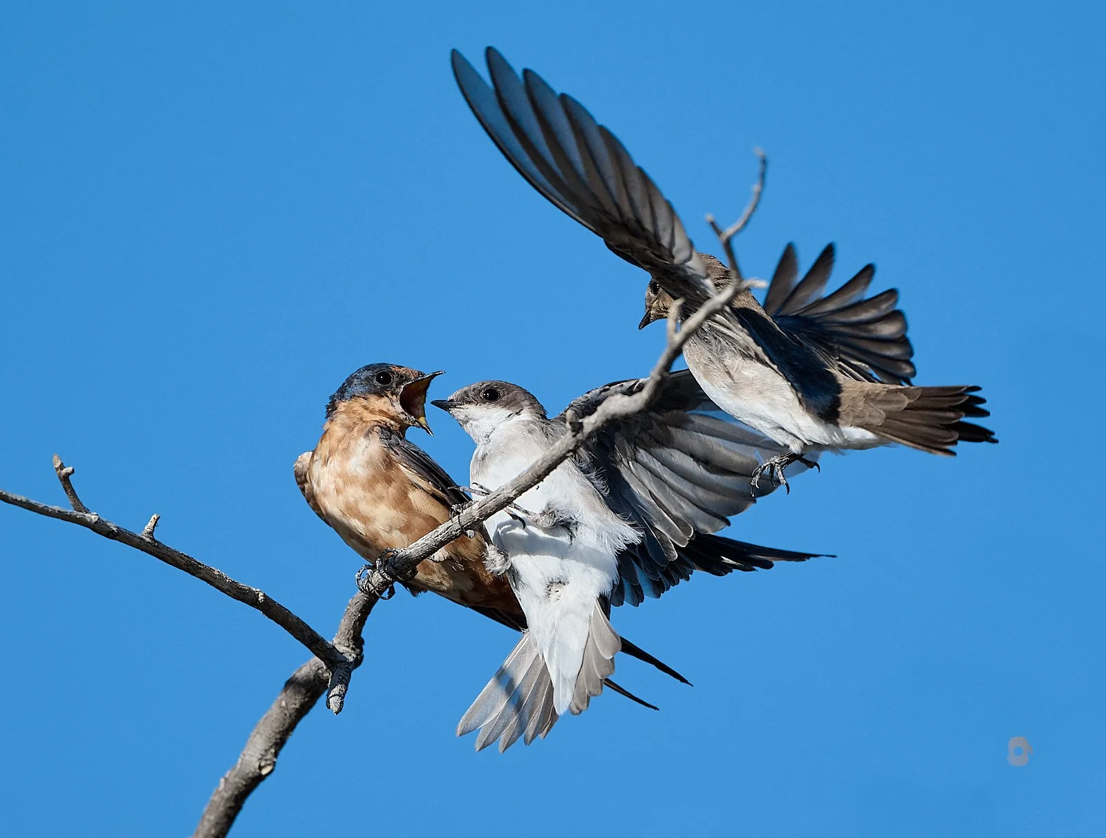
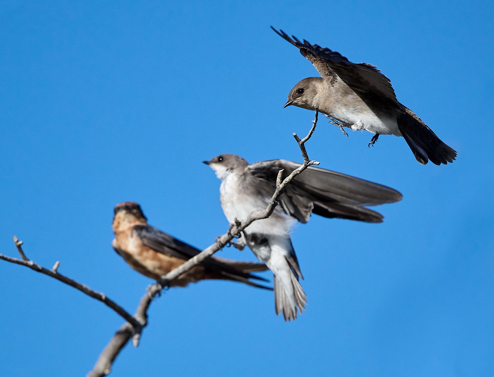
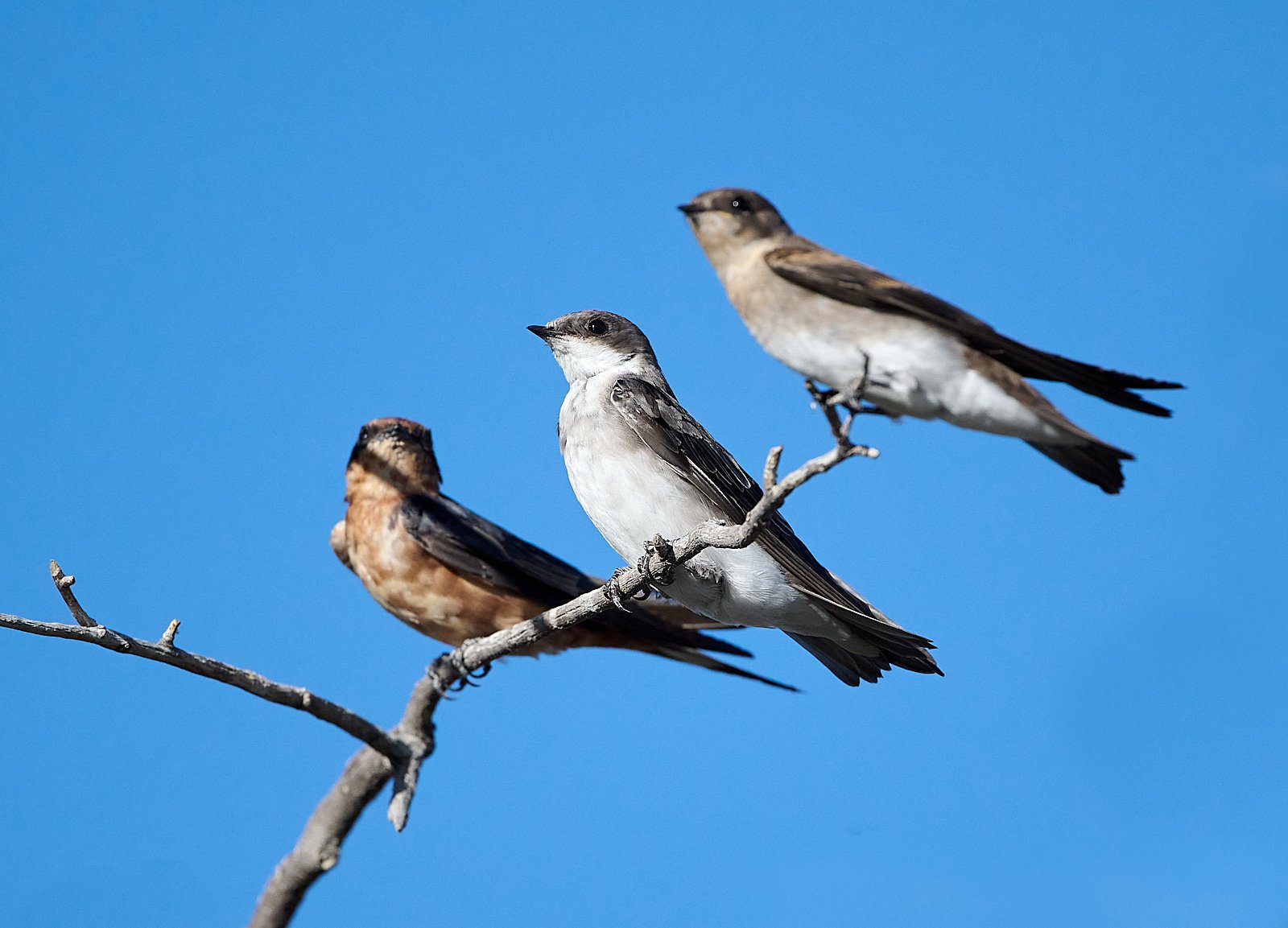
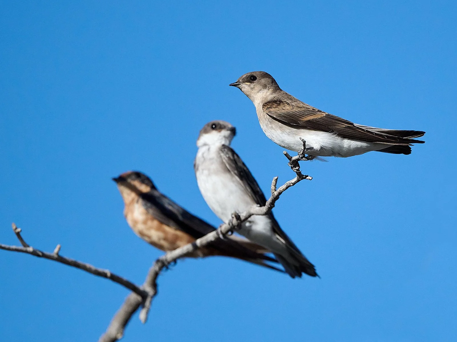
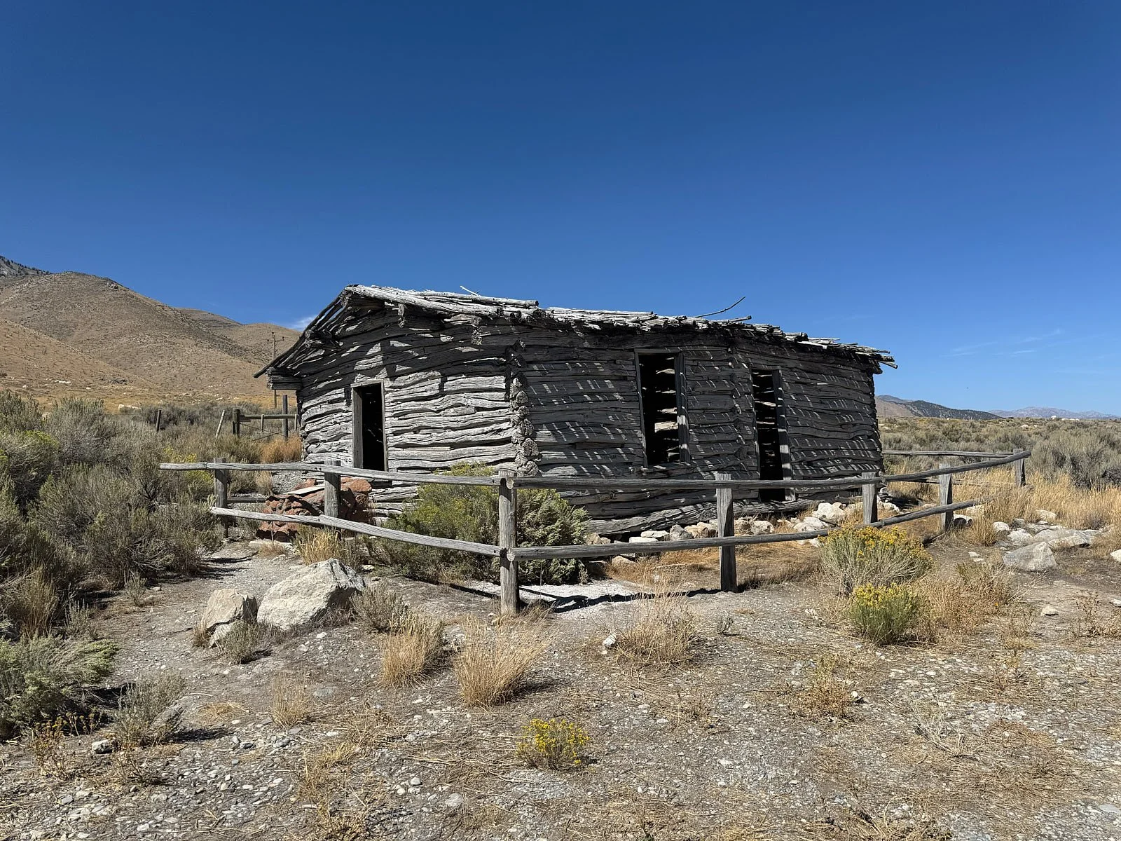
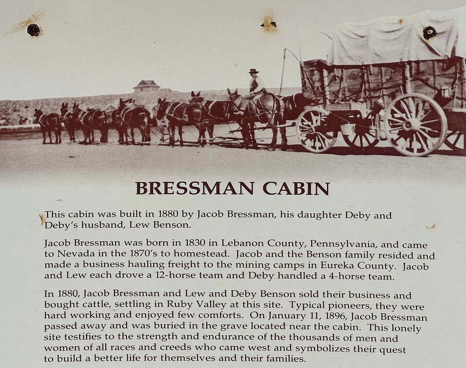
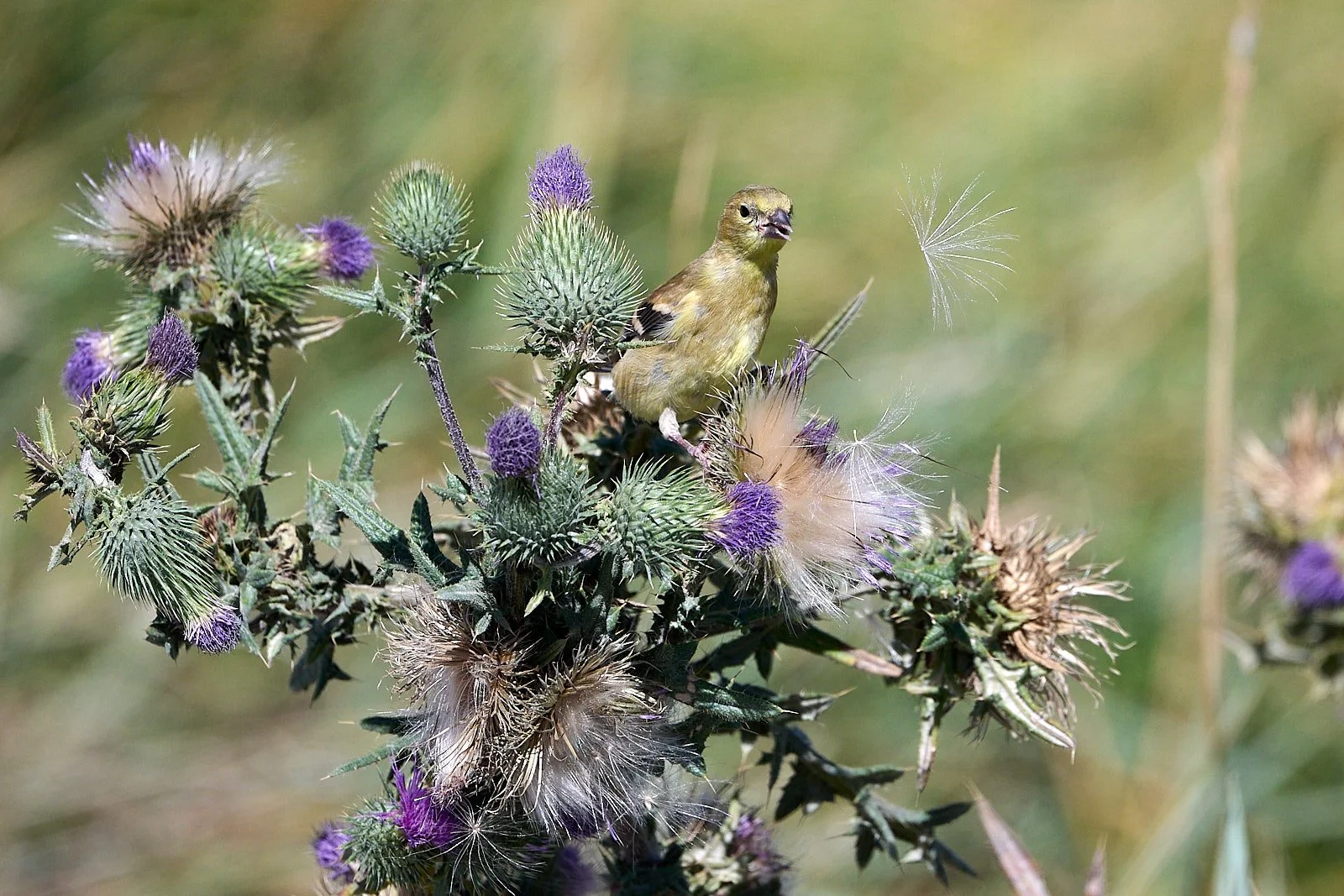
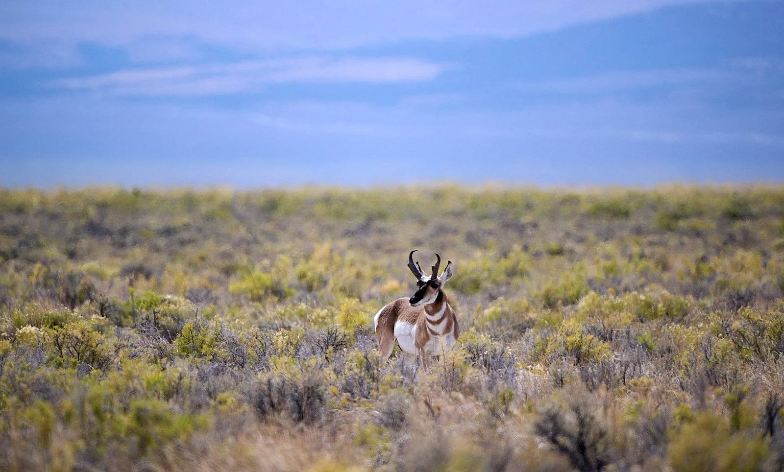
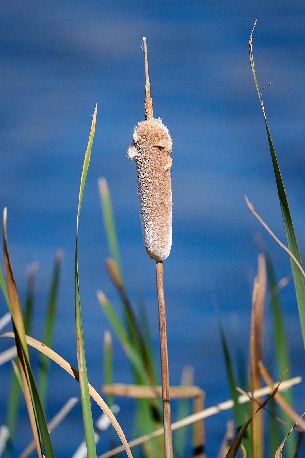
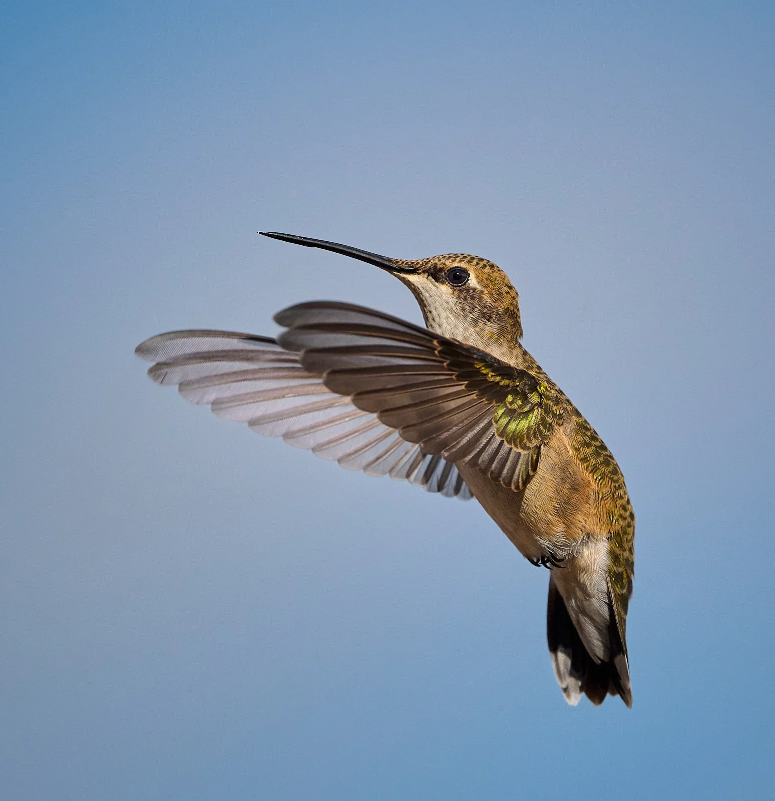
Pronghorn Antelope
Austin Hotspots
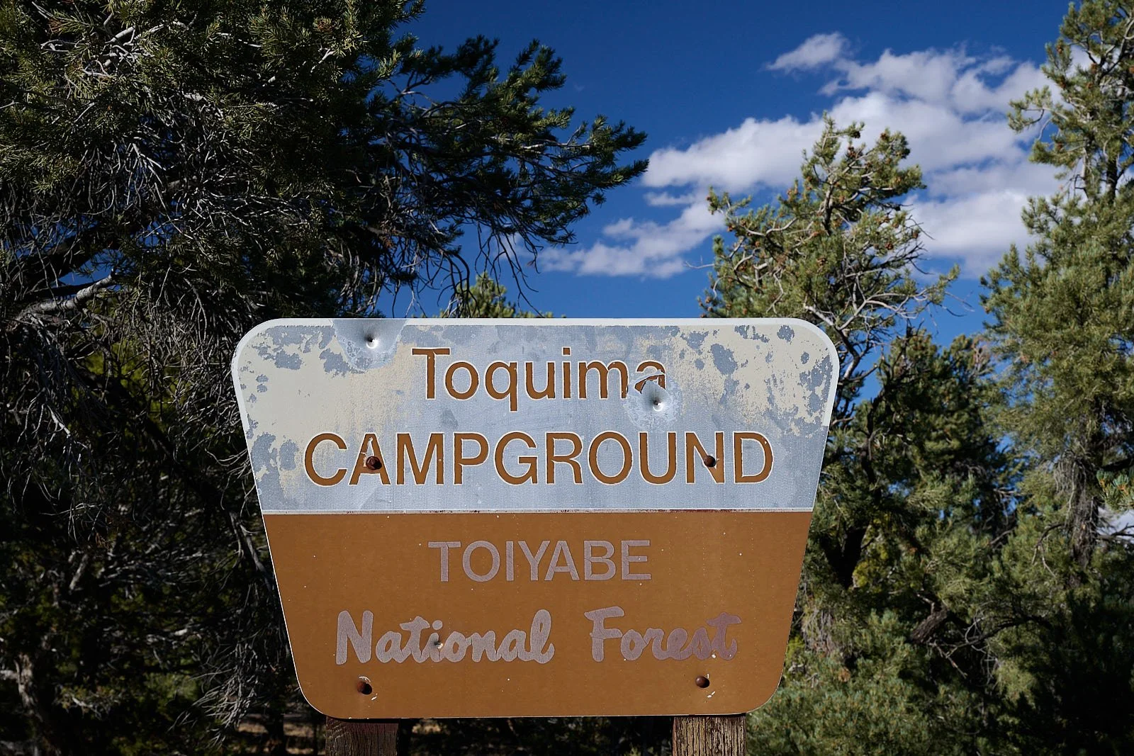
We visited two areas in the vicinity of Austin, central Nevada. They were Hickison Petroglyph campground (elevation 6,570 feet), and Toquima campground (elevation 7,860 feet).
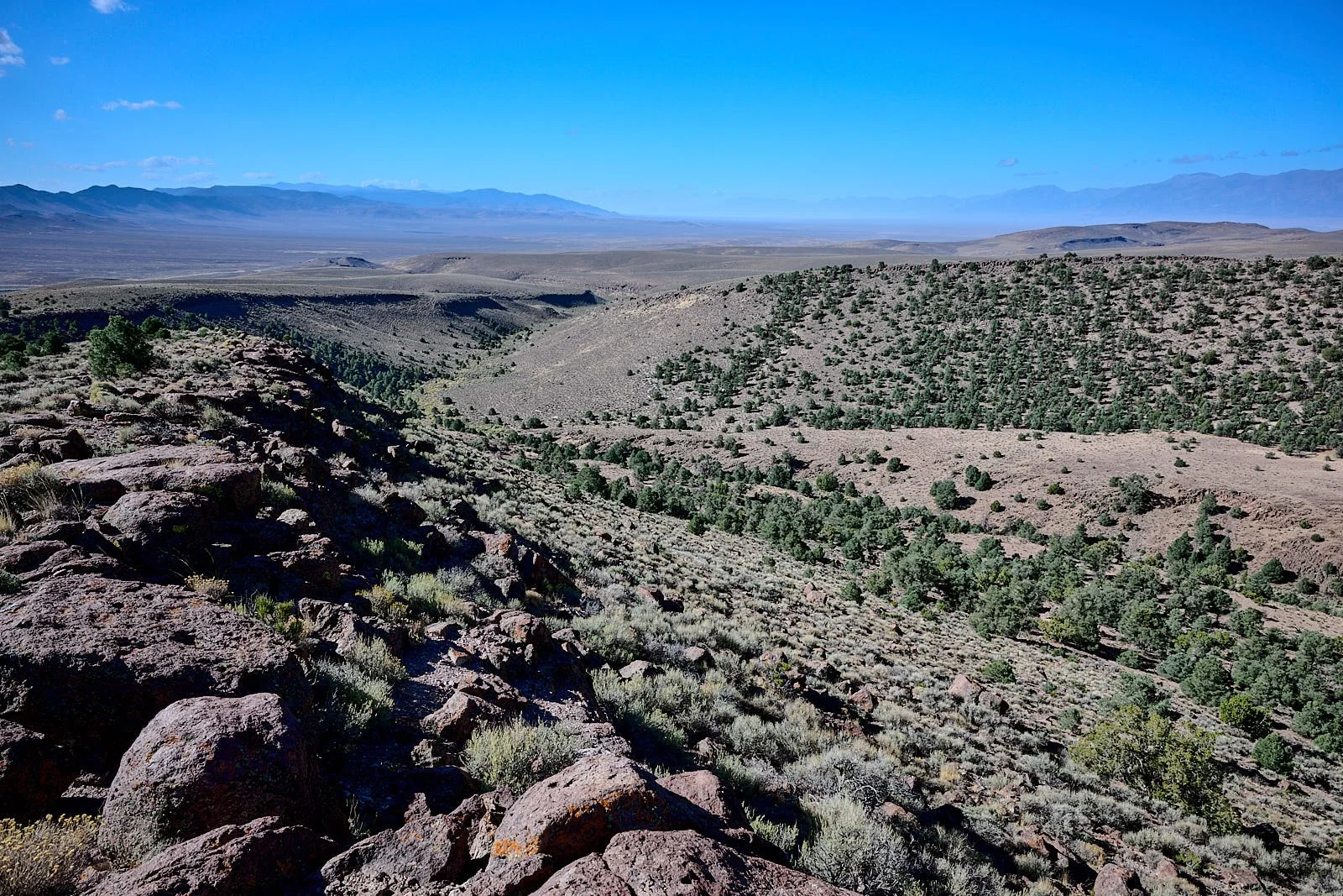
View westward from Hickison Summit.
The petroglyphs at Hickison are poorly preserved because they are engraved in soft pink tuff rock that erodes easily, and some images have been vandalized.
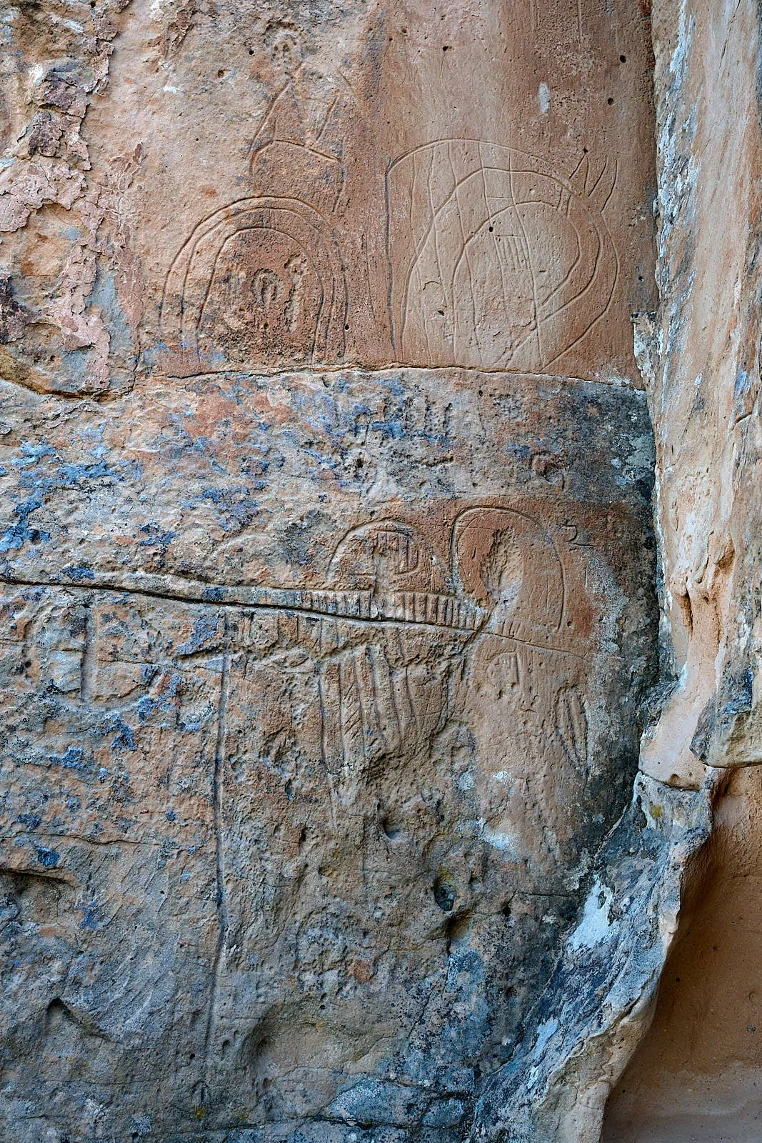
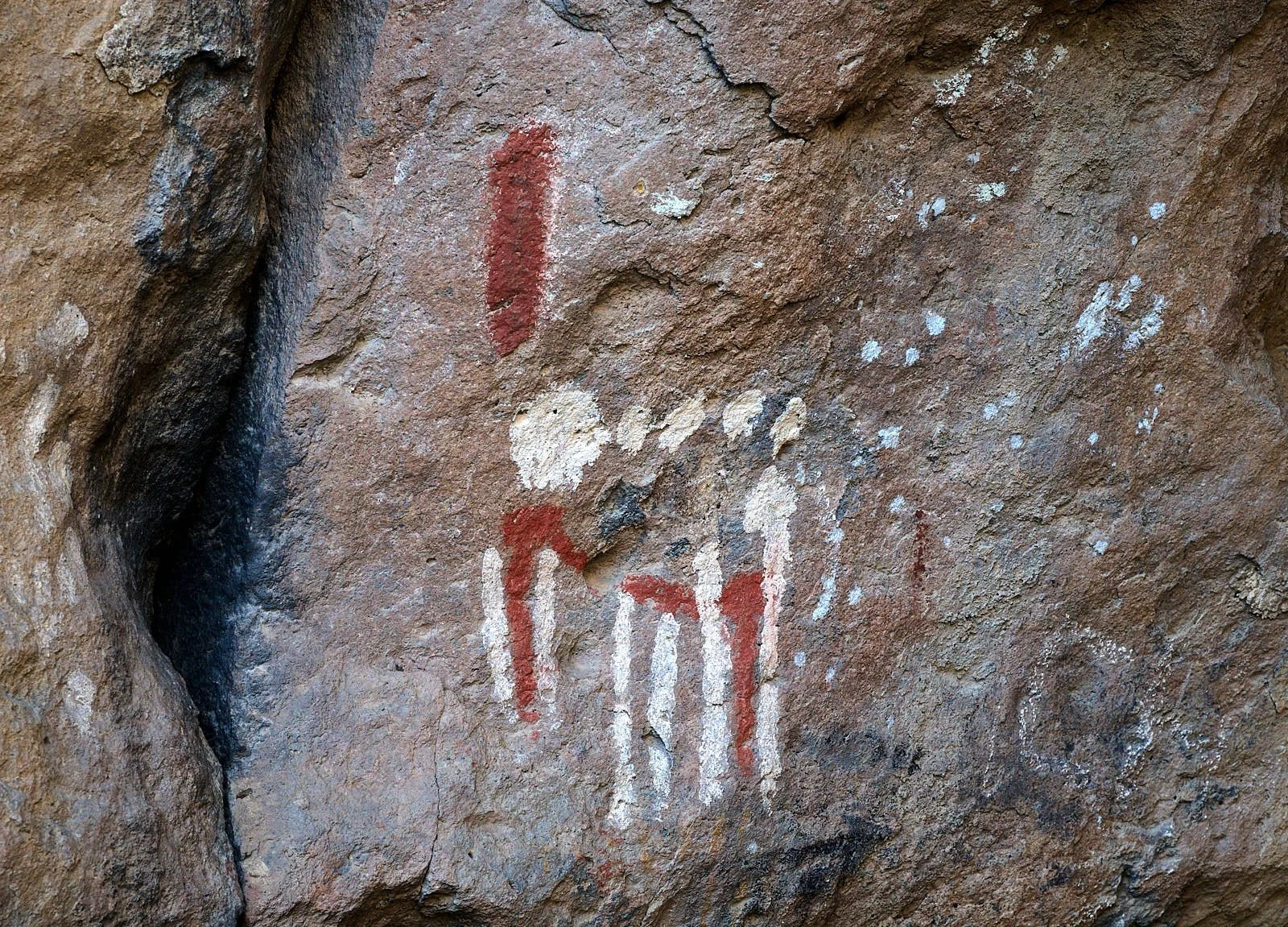
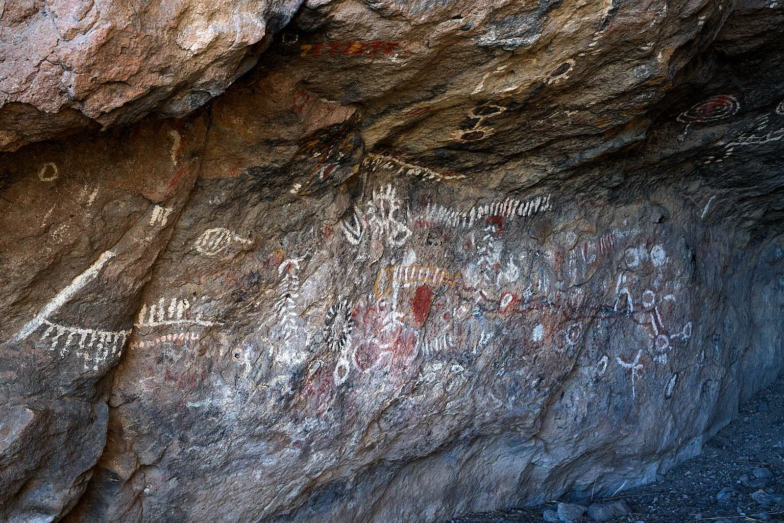
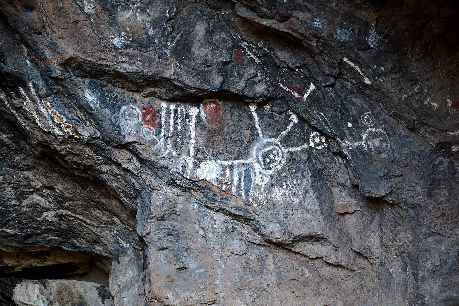
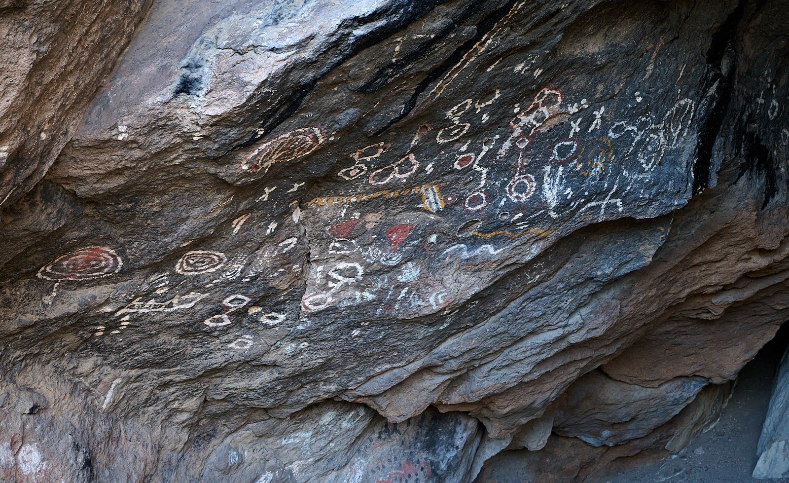
In contrast, the pictographs of Toquima Cave blew me away with their vibrant paint colors and pristine state.
Both sites contained mostly abstract designs of the Basin and Range tradition.
Tequima Cave
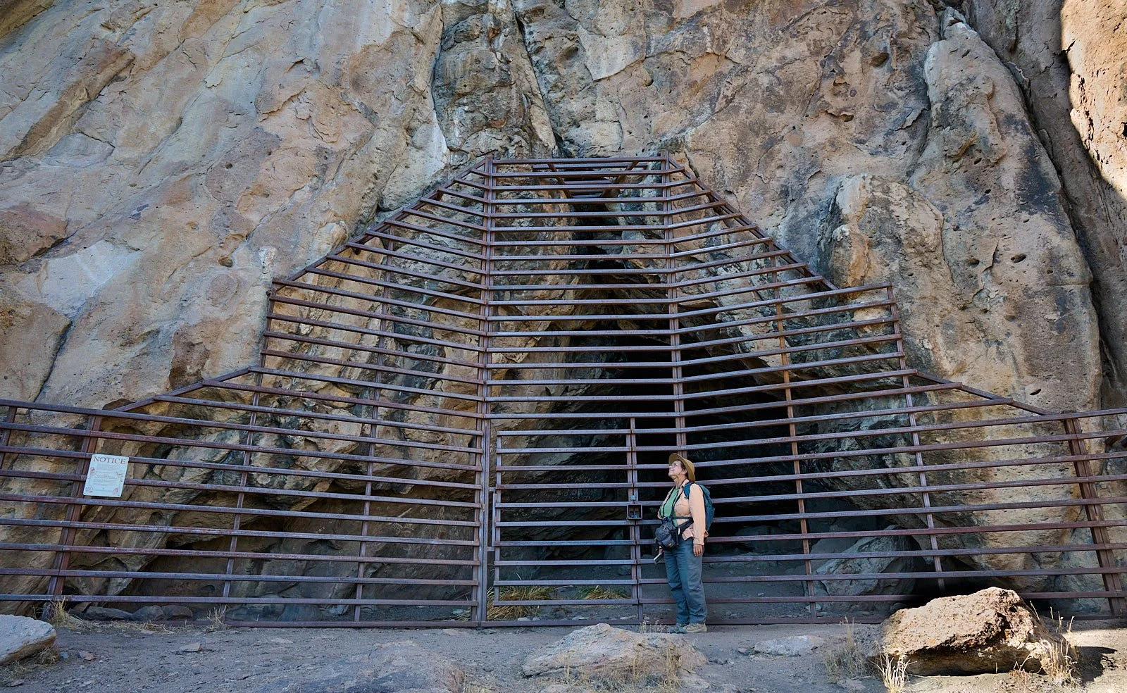
Toquima Cave is near Pete's Summit in the Toiyabe National Forest. It is a rock shelter of moderate size that was used by Western Shoshone ancestors. They did not live here permanently. Instead, they stopped by during seasonal hunts, leaving behind over 1,200 distinct pictographs that are perhaps the best examples of pictographs in the continent. Some drawings date back 3,000 years. The art probably served a ritual purpose, maybe to ensure a successful hunt. It is a sacred place.
Most rock art in Nevada consists of petroglyphs chipped into stone. Toquima features painted pictographs. The dry desert air and the deep recess of the shelter kept these delicate pigments from washing away. The cave floor contained obsidian projectile points, charcoal, and bighorn sheep bones.
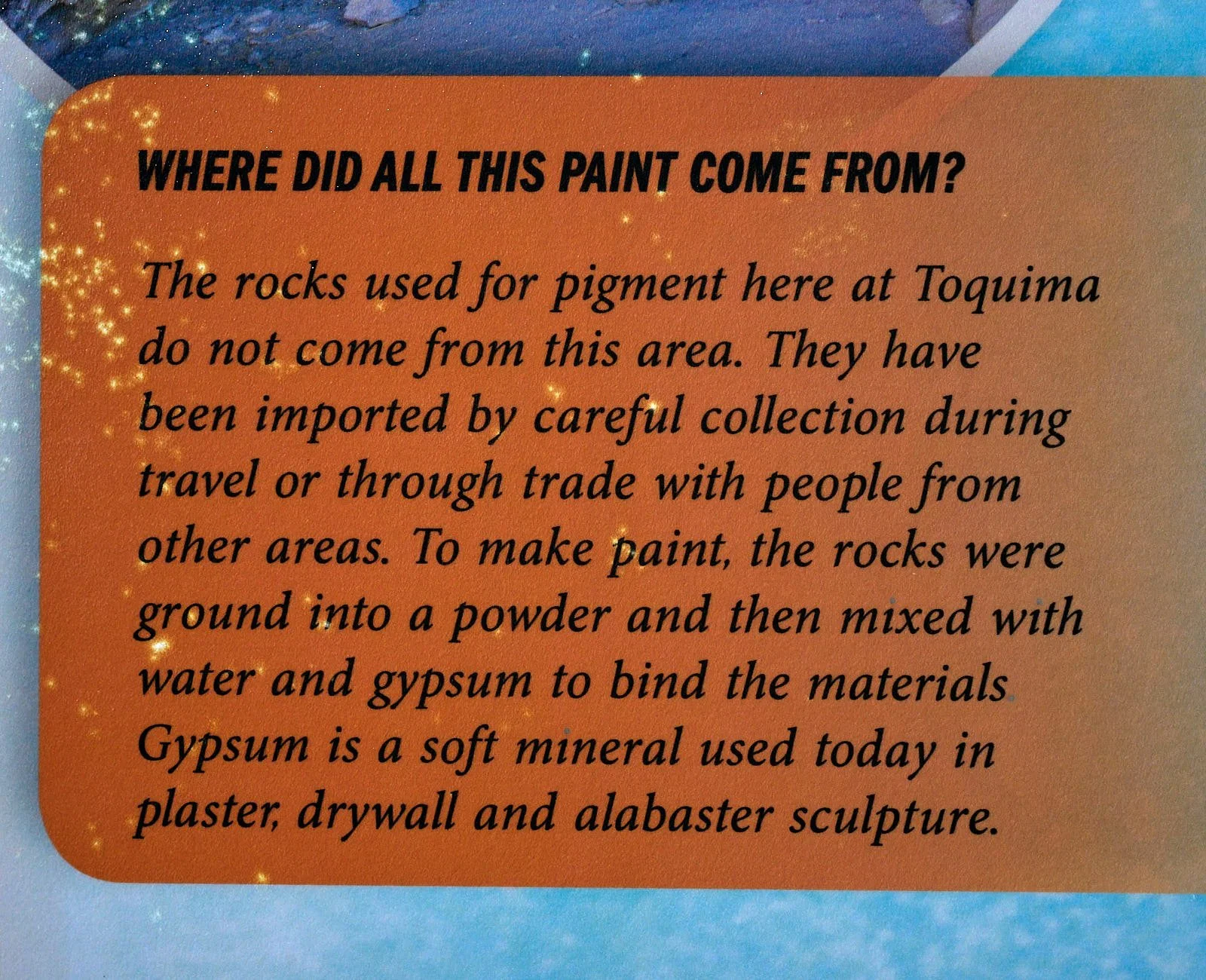
The creators mixed local minerals like hematite for red, limonite for yellow, and gypsum or white clay for the pale accents. They bound these powders with animal fat and used their fingers or small fiber brushes to paint heavy lines, grids, and abstract human figures directly onto the dusty stone.
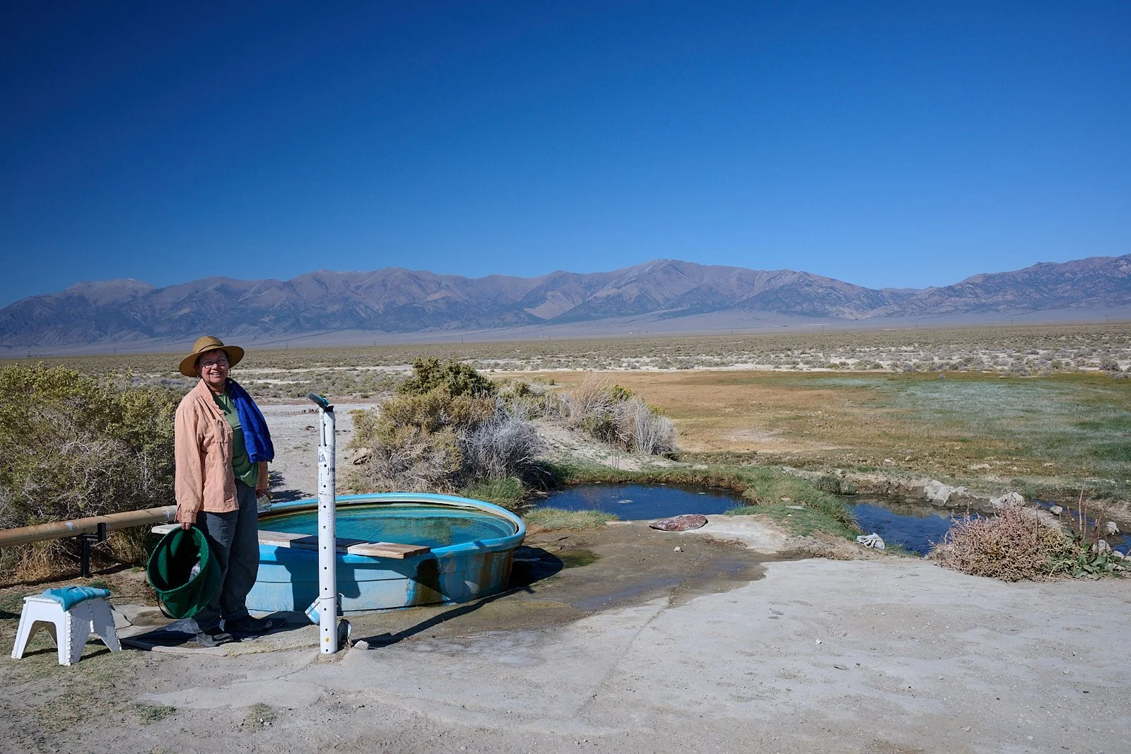
Spencer Hot Springs
Spencer Hot Springs are about 10 miles from Toquima campground. Nevada has more than 300 natural hot springs because the Earth's crust is stretched thin in the Basin and Range Province. This brings the Earth's fiery mantle is much closer to the surface. Rain and snowmelt seep deep into cracks in the rock, get heated, and then rise back up quickly to form springs. Thermal springs bubble up in every single county across Nevada.
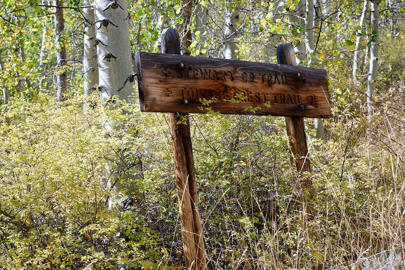
Columbine campground, Arc Dome Wilderness (elevation 8,560 feet)
The Arc Dome Wilderness is centered on a 25 million-year-old caldera and can be accessed via the Toiyabe Crest National Recreation Trail.
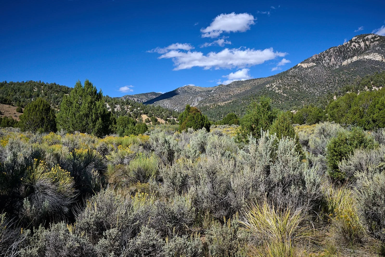
Common conifers include single leaf pinyon pine, western juniper, Utah juniper, Rocky Mountain juniper, and at the higher elevations, limber pine. Curlleaf mountain-mahogany covers much of the middle elevations. Three species of cottonwood trees, five species of willow, aspen trees, red-osier dogwood, and Rocky Mountain maple line the perennial watercourses.
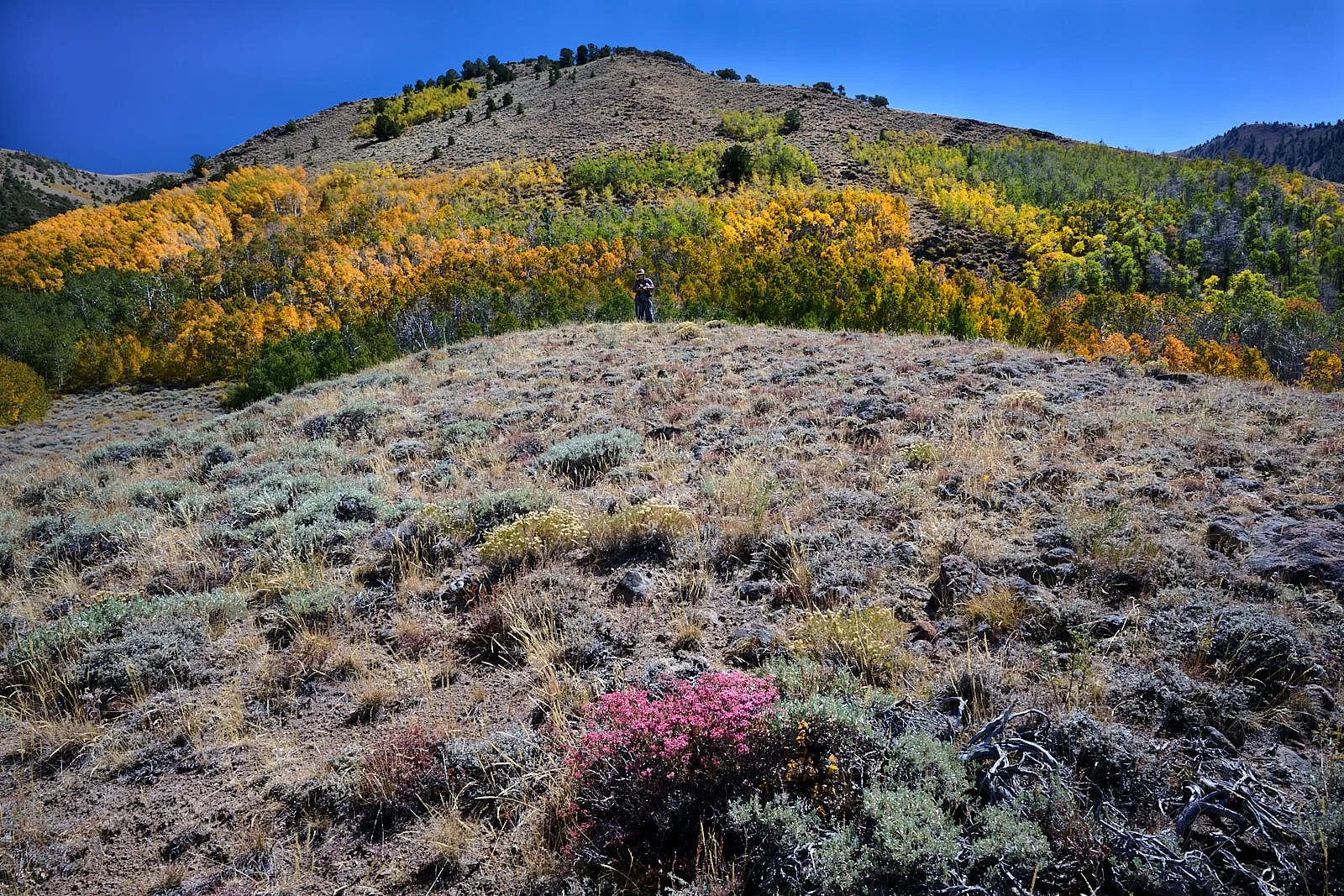
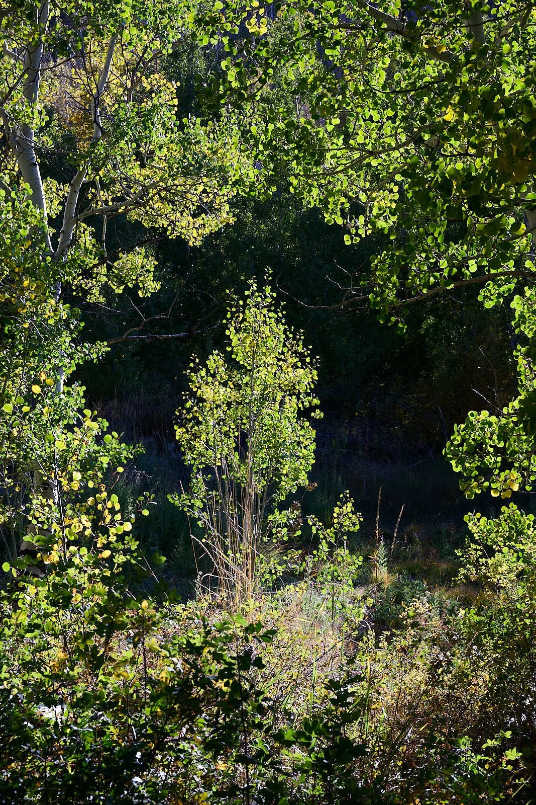
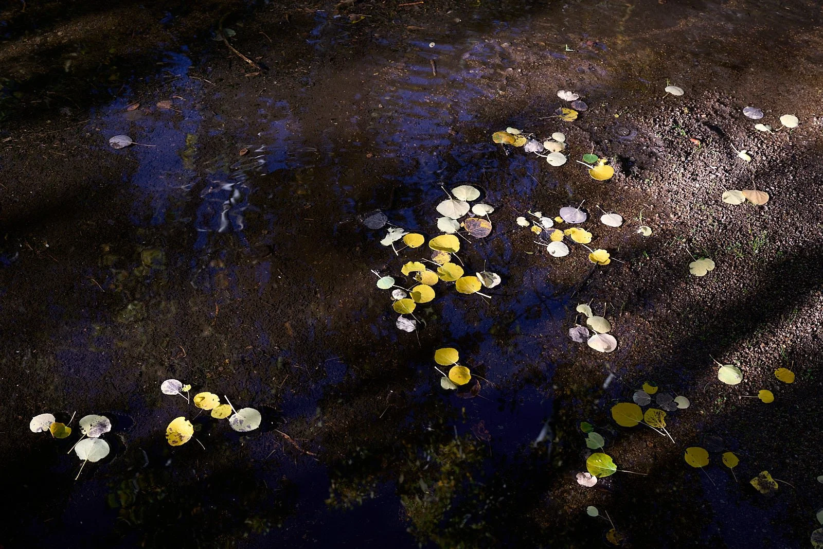
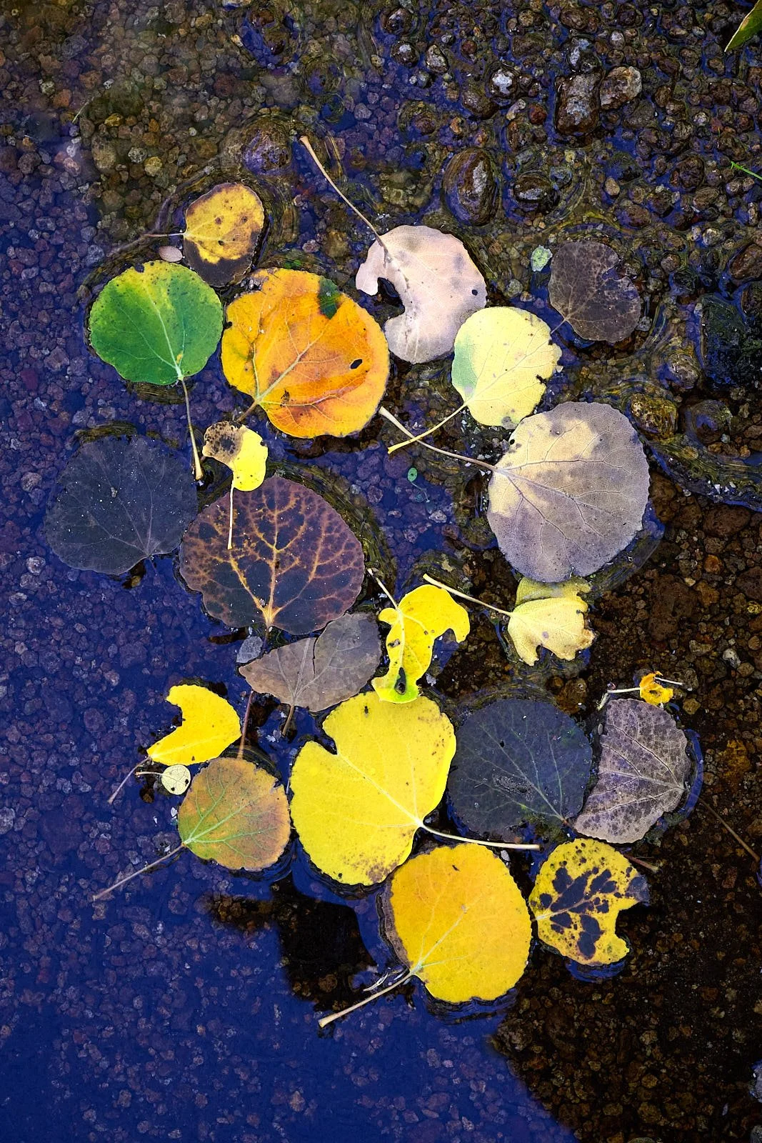
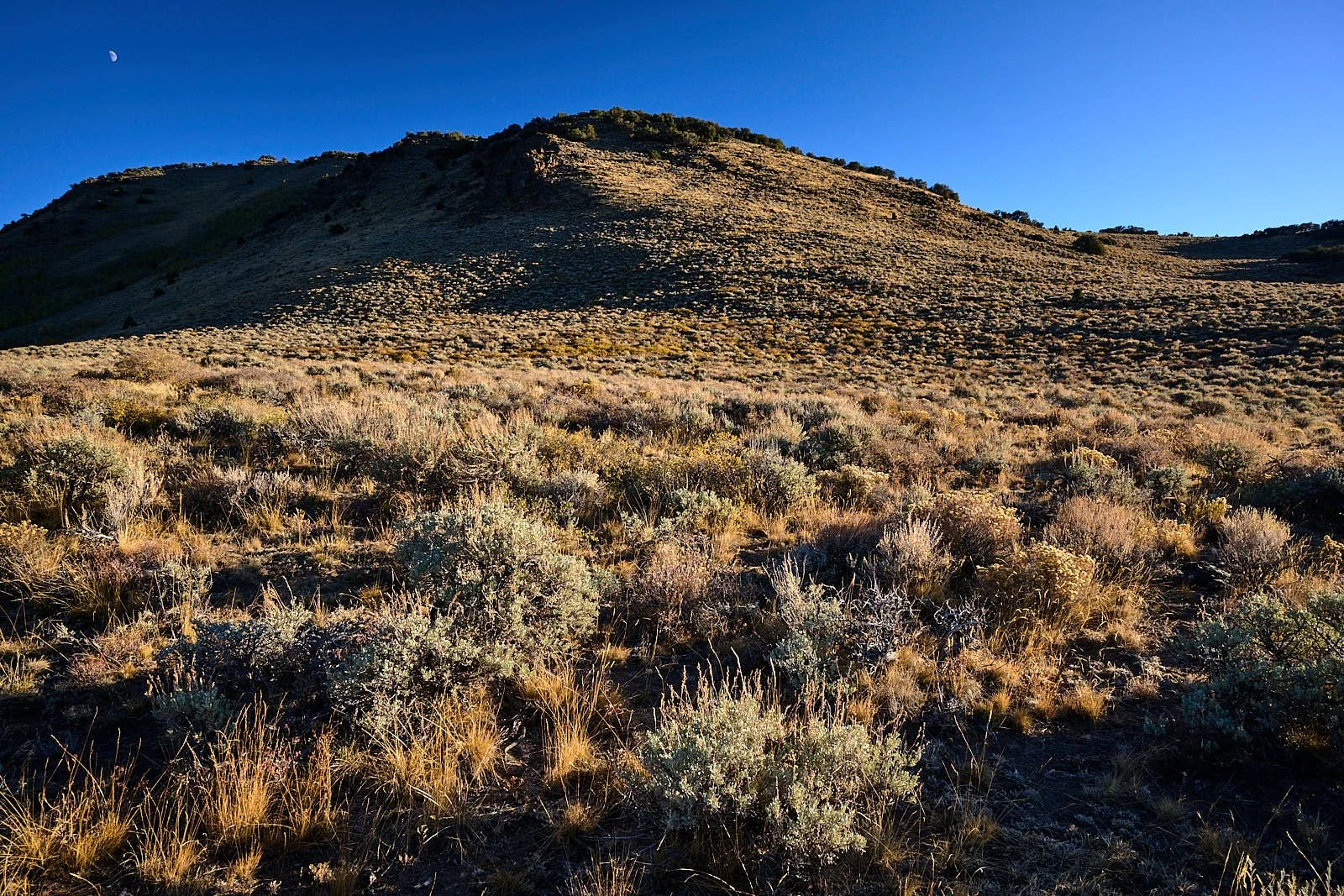
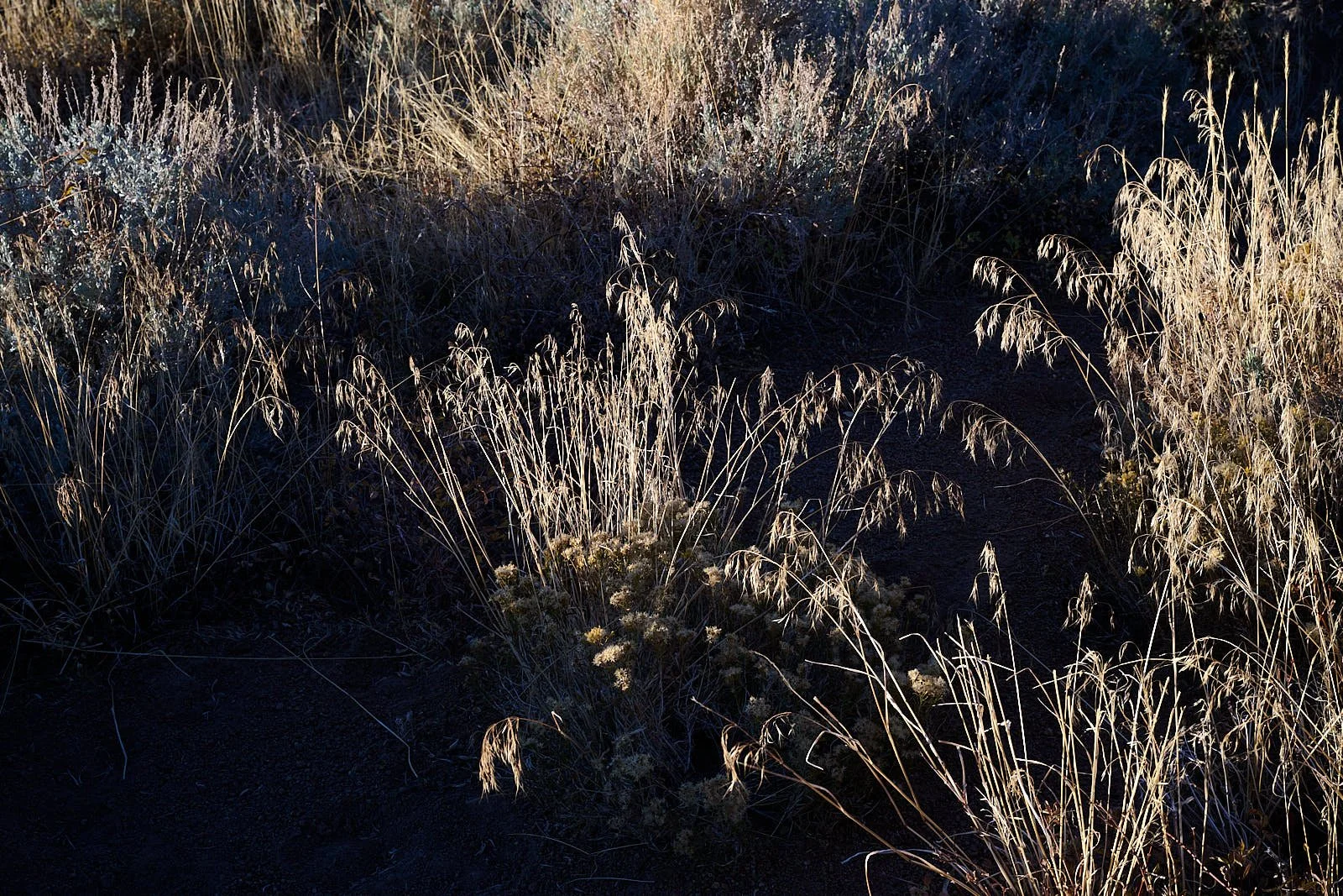
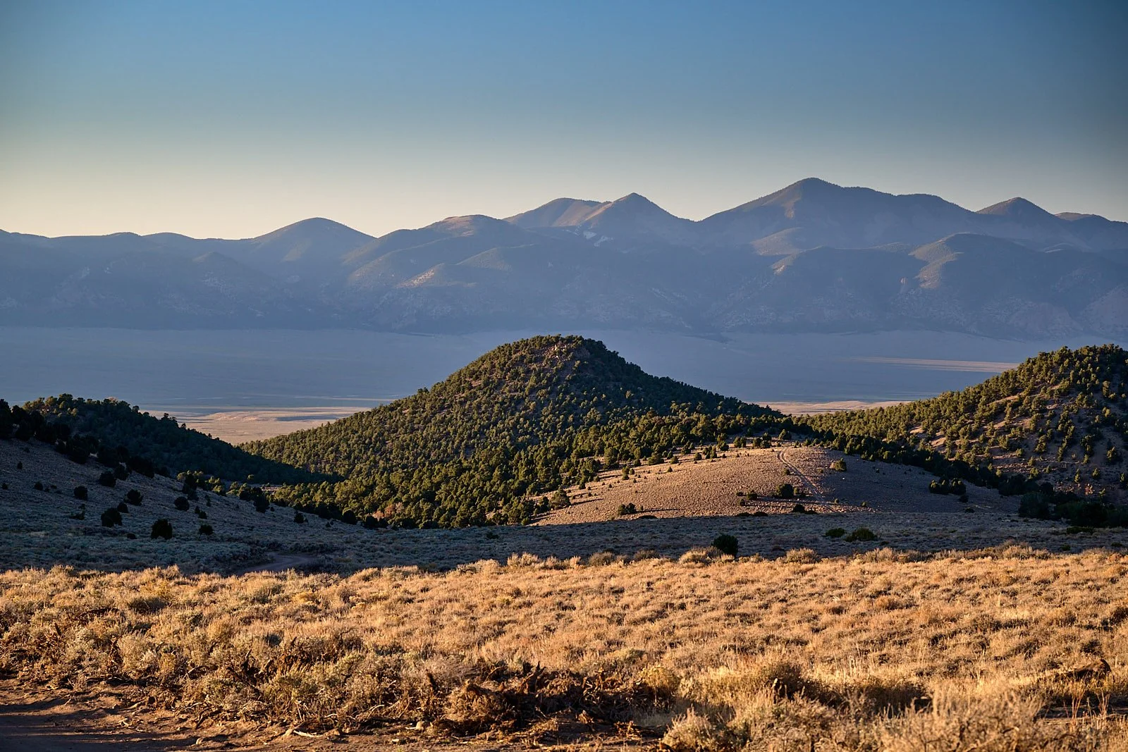
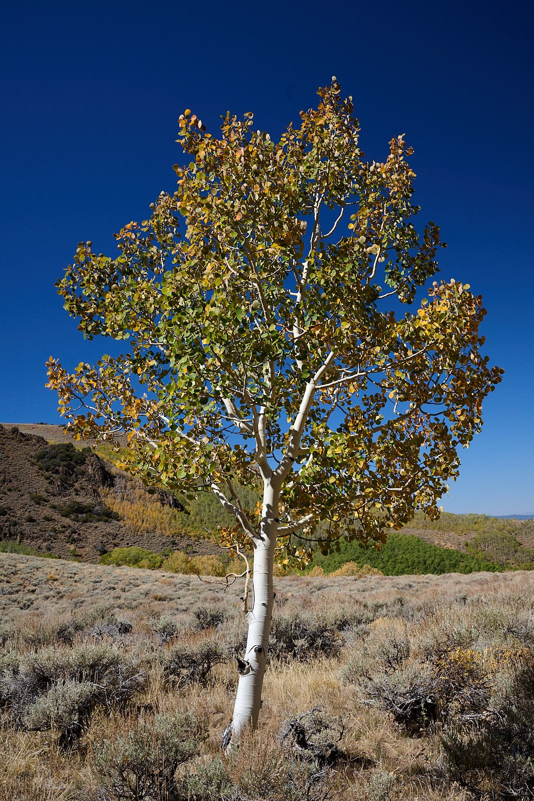
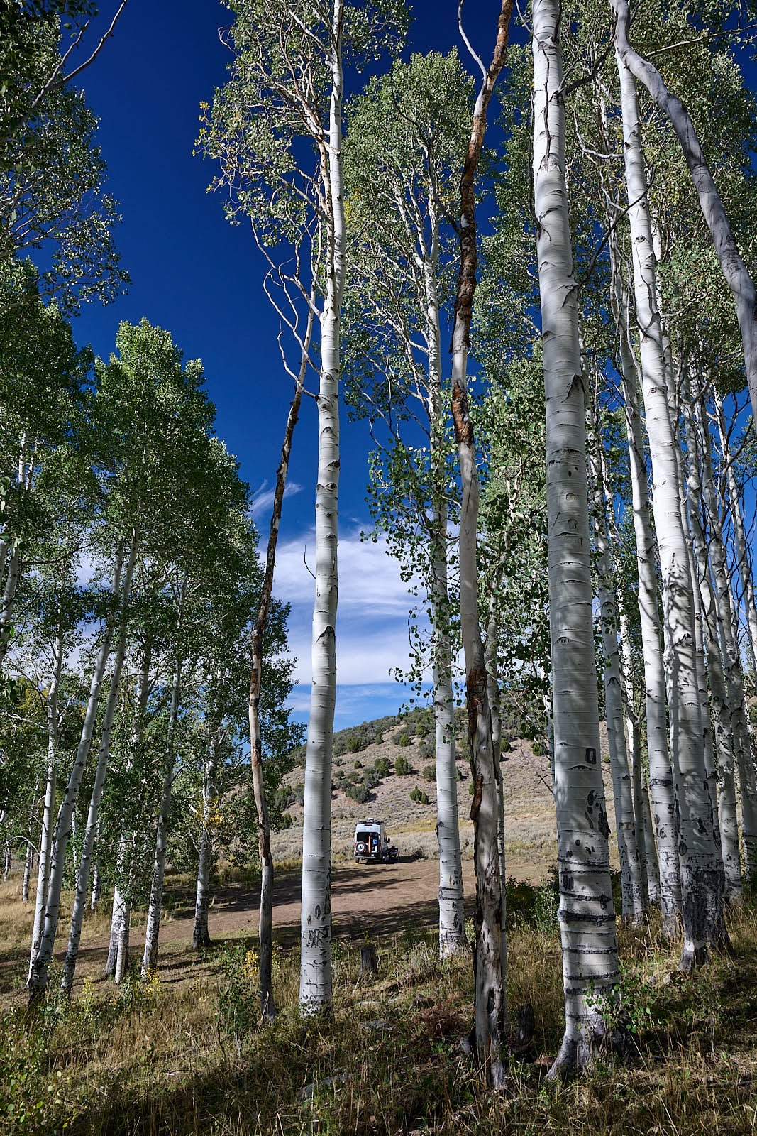
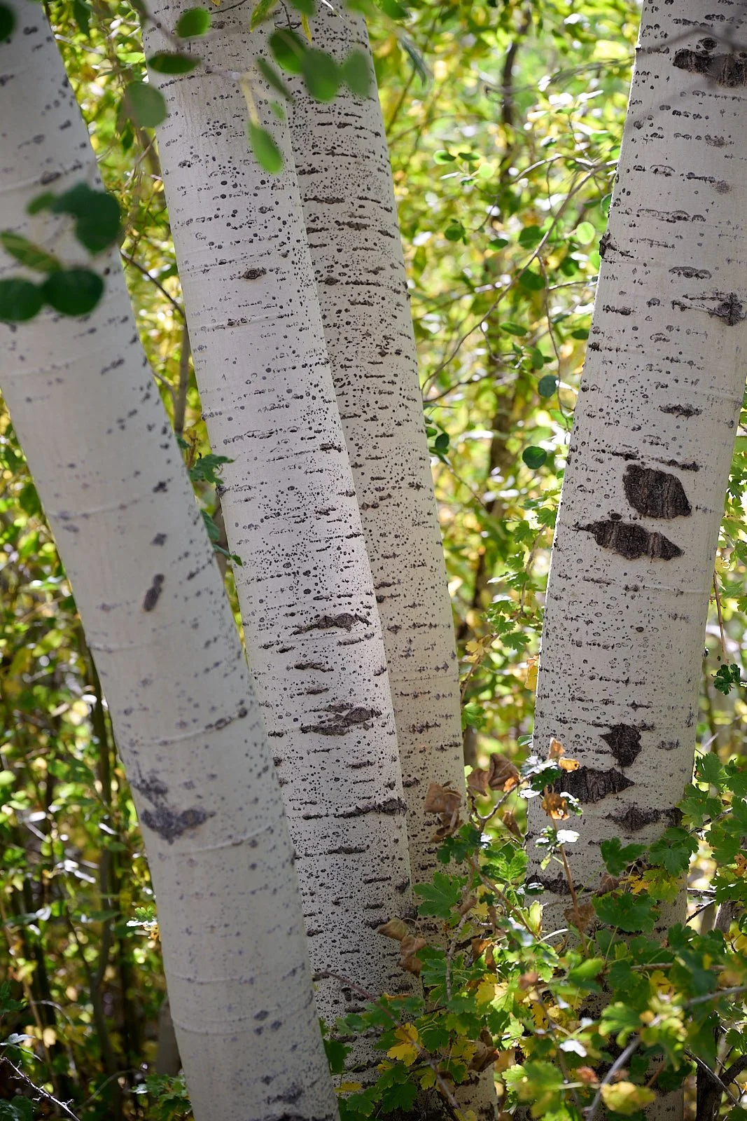
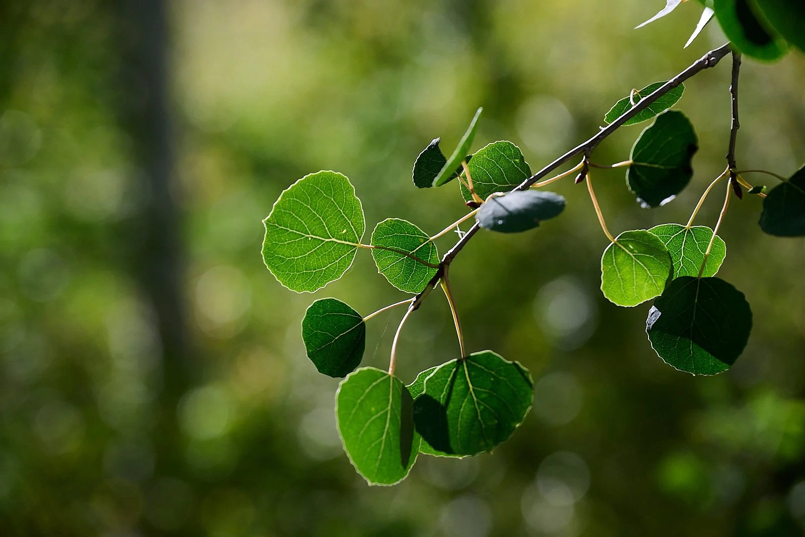
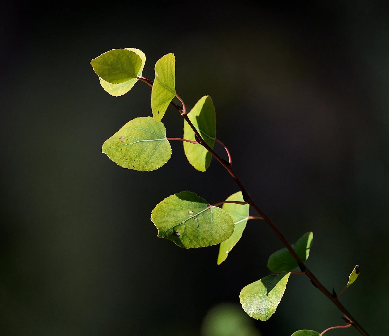
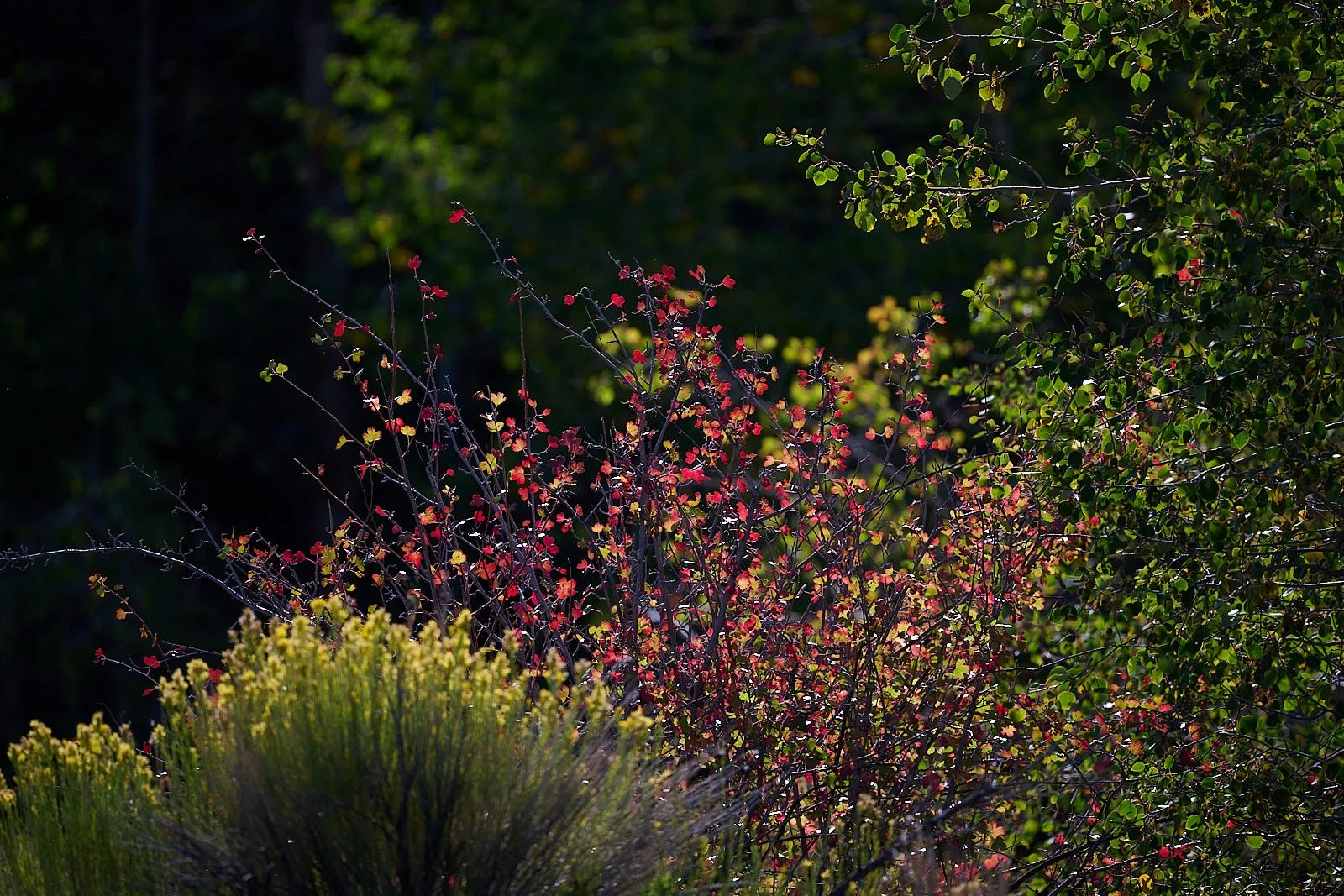
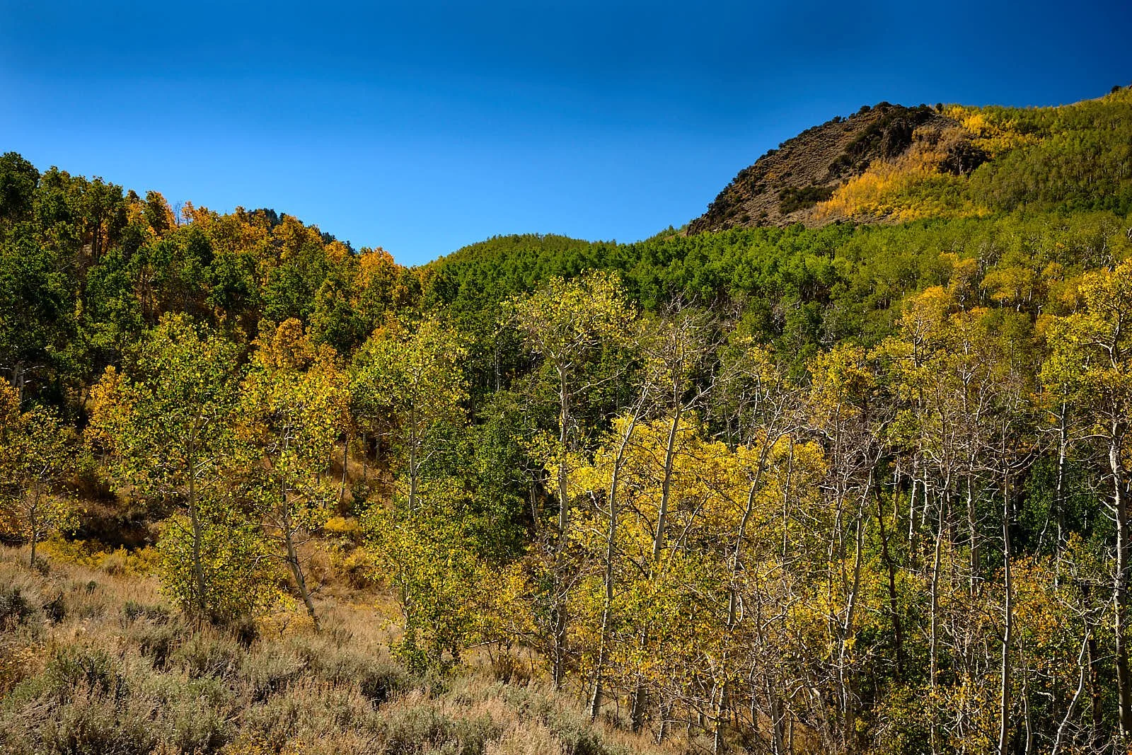
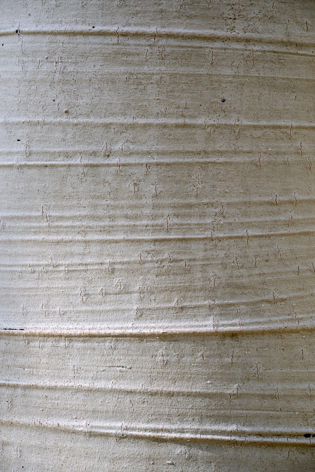
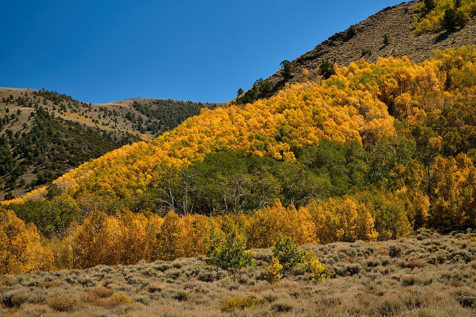
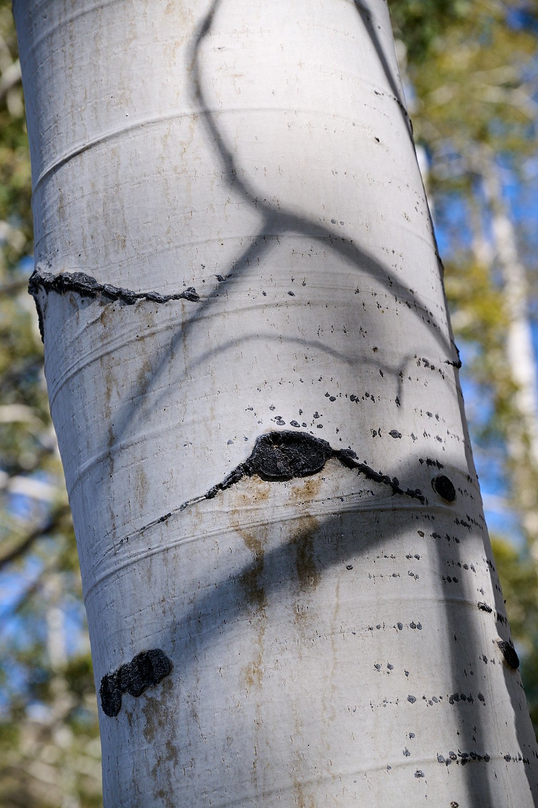
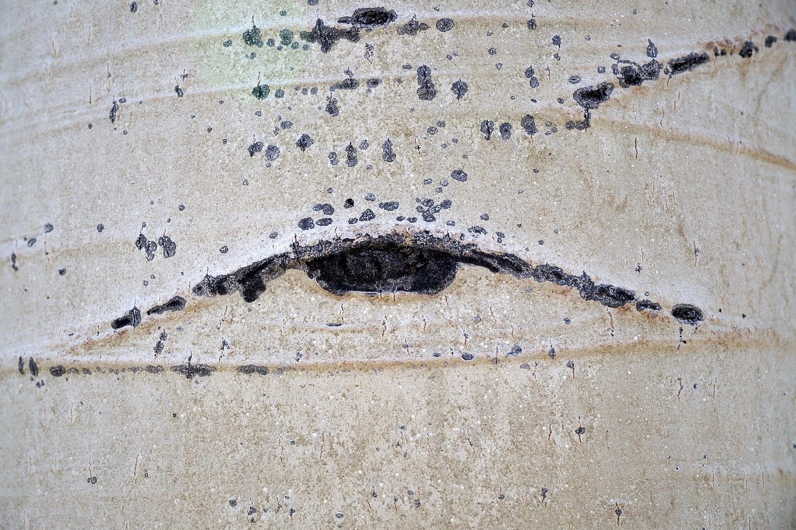
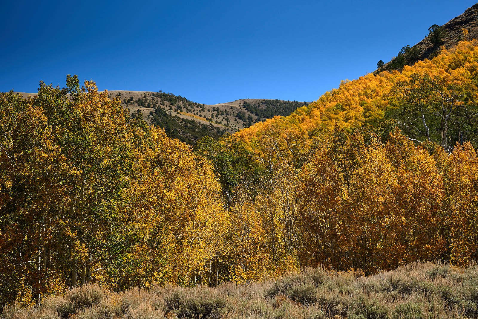
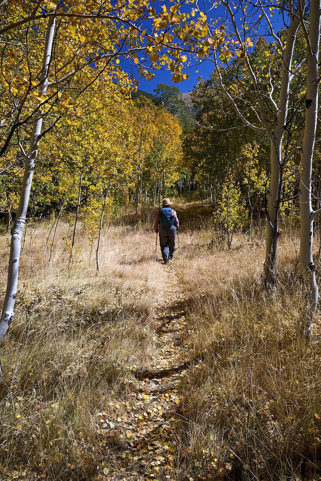
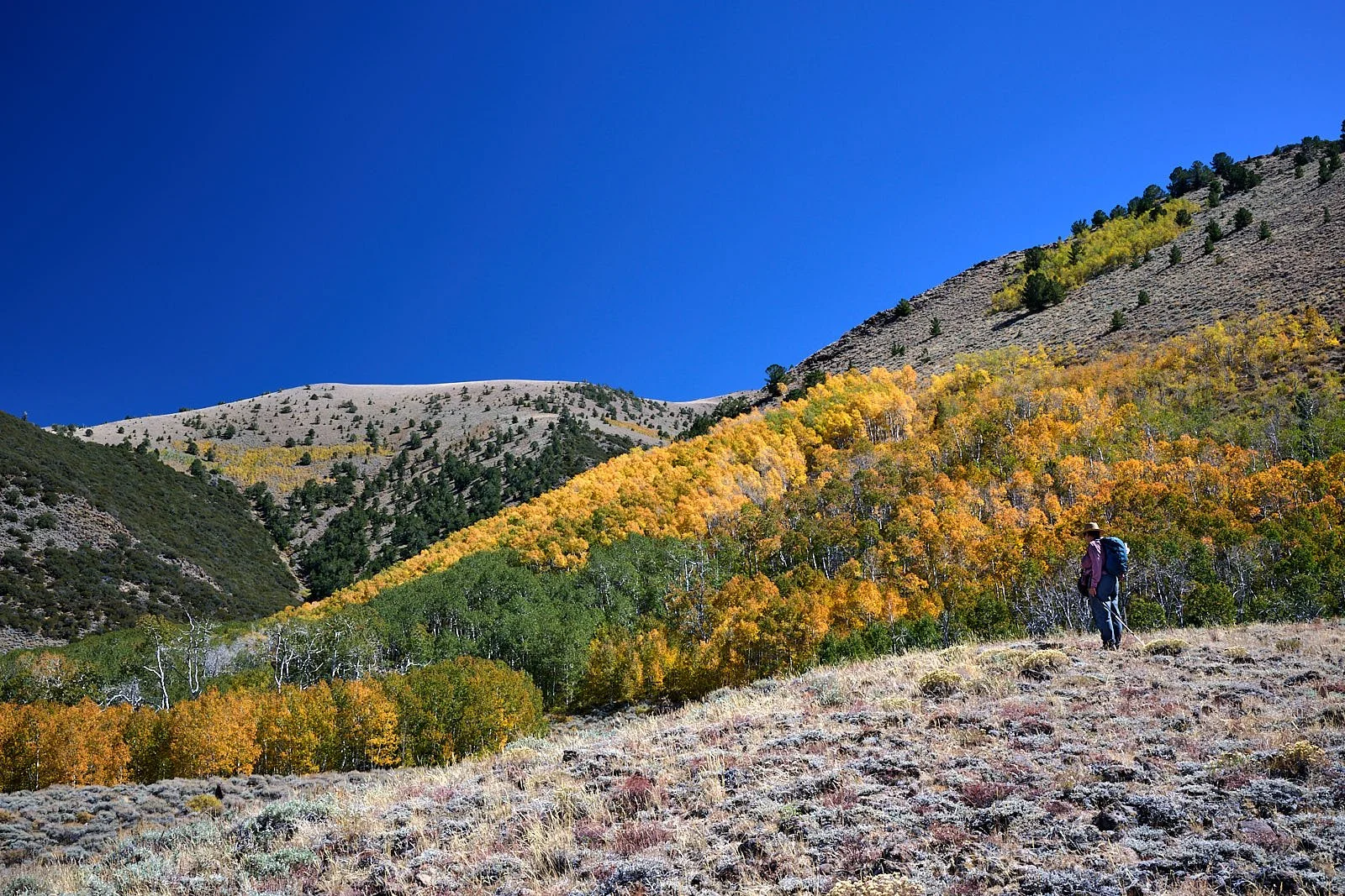
Aspen change of colors
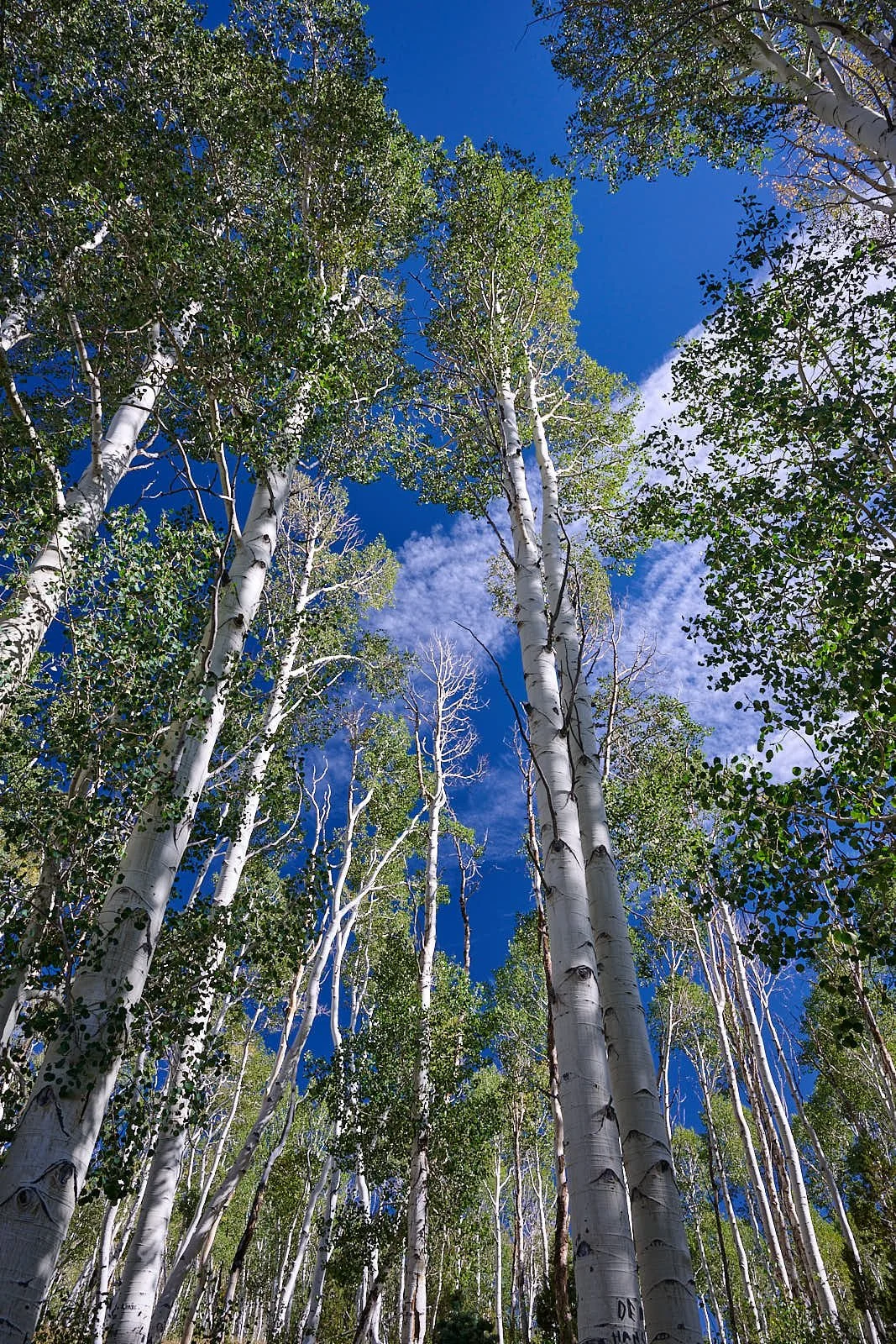
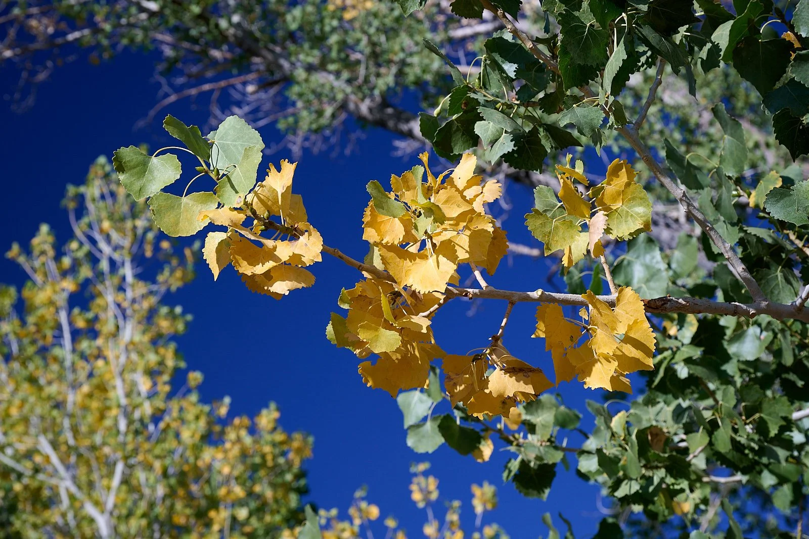
As days get shorter and nights turn cooler, the tree stops making chlorophyll and the green color fades away. This exposes underlying carotenoids and xanthophylls, which create bright yellow and gold colors that were hidden all summer. Some aspens also produce a red pigment called anthocyanin when warm, sunny days and cool nights trap sugars inside the leaves.
Aspen trees grow in large groups called clones. All trees in a single clone share one underground root system and have the same genetics. Because they are genetically identical, an entire stand or hillside of connected aspens will turn gold or orange at the same time. Autumn is the time to learn whether an aspen grove has more than one clone.
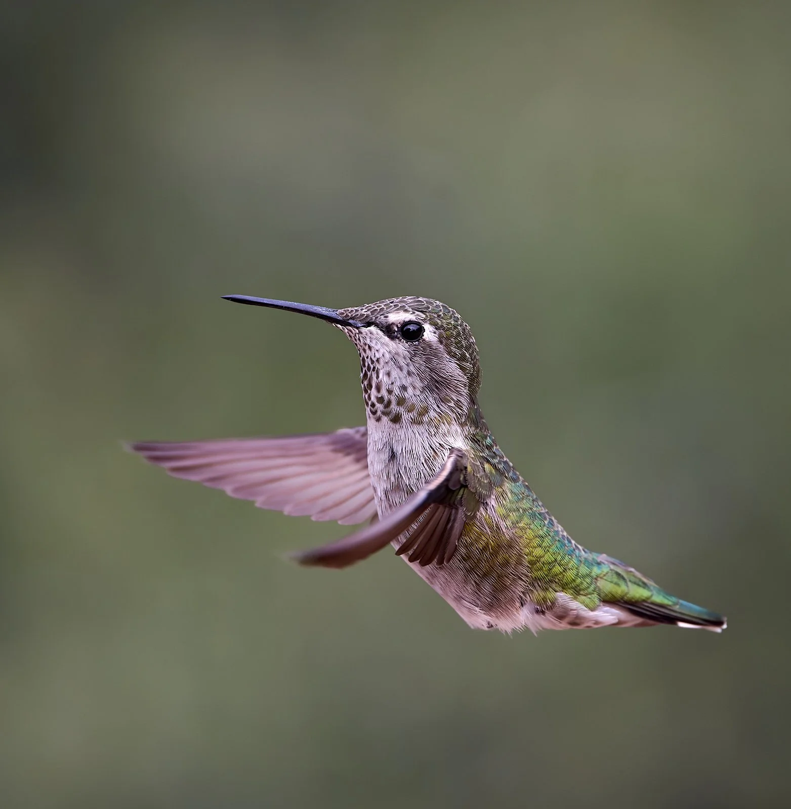
East Walker River State Recreation Area (elevation 4,520 feet)
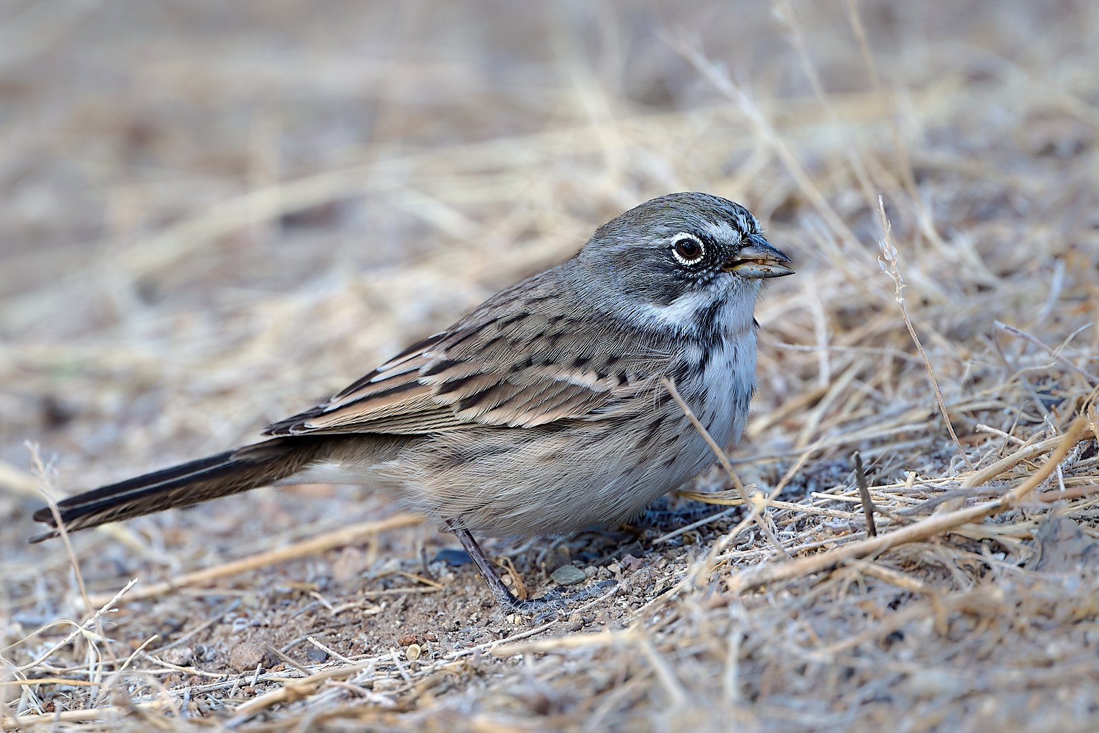
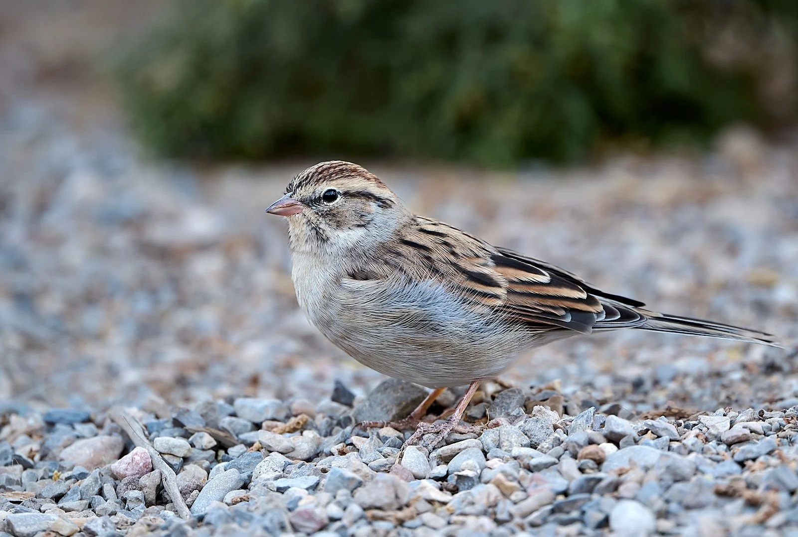
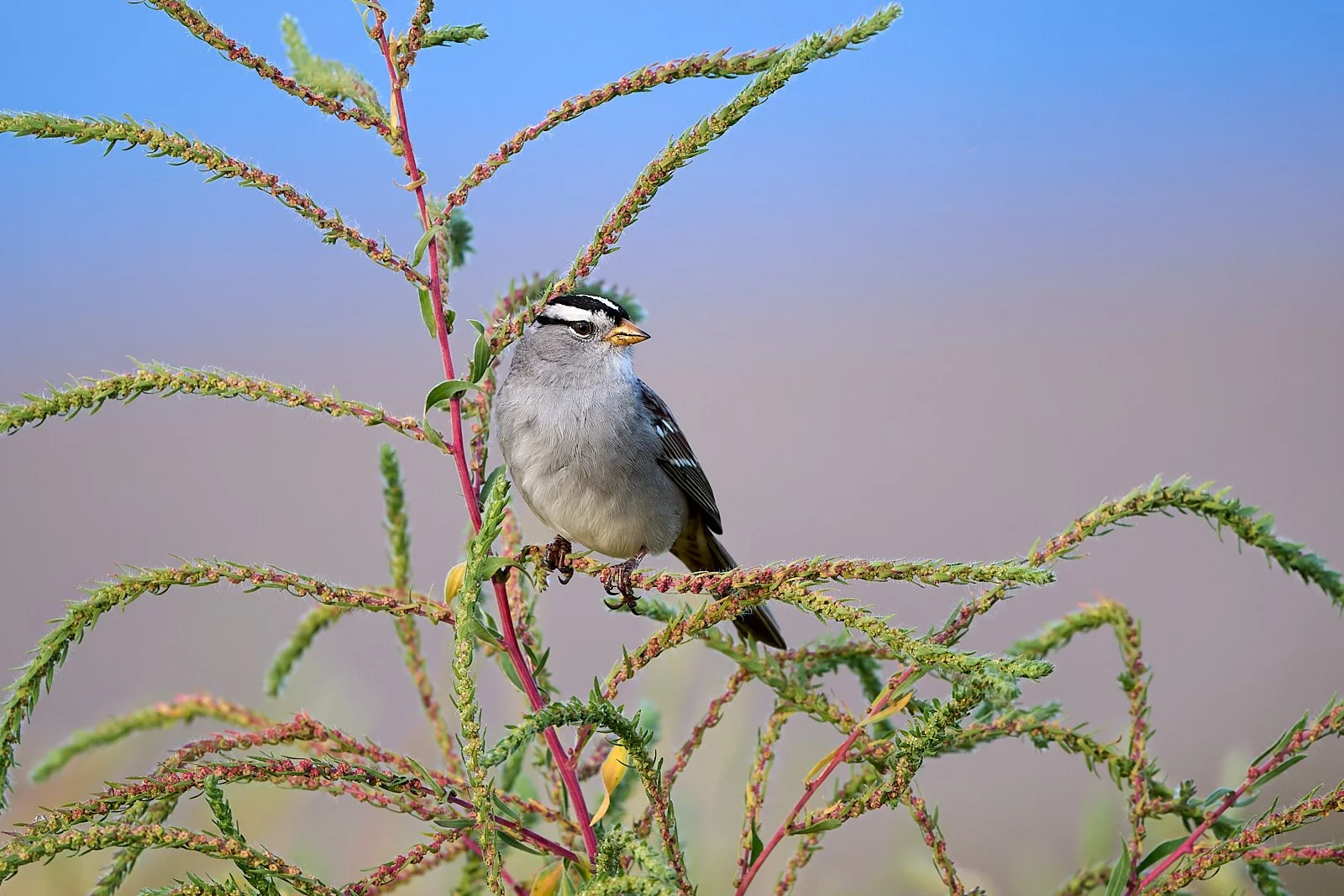
Sagebrush Sparrow
Sagebrush Sparrow breeding populations have declined by more than 50% since 1970, resulting in its designation as a “Tipping Point Species” by the Road to Recovery conservation initiative. There is close association between the Sagebrush Sparrow and shrub-steppe habitats. Habitat loss in the Great Basin by mechanical, chemical, and burning methods to remove big sagebrush and increase grasses and forbs for livestock grazing has had significant impact on Sagebrush Sparrow distribution, productivity, and long-term population trends.
Increasing frequency and intensity of range fires in Great Basin pose significant threat to native grasses and shrubs. Historically, fires were infrequent, and perennial grasses and shrubs were not adversely affected. With increased fire frequency, native plants are killed and seed reservoirs of grasses and shrubs are depleted and replaced with exotic annuals, such as cheatgrass (Bromus tectorum). The Sagebrush Sparrow abandons former habitats once invaded by cheatgrass.
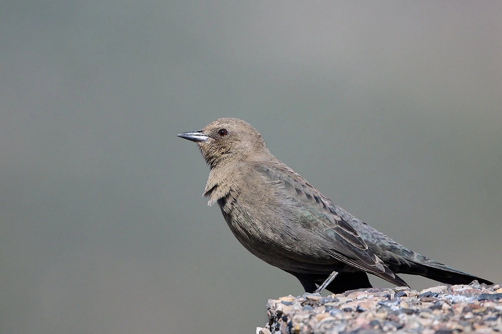
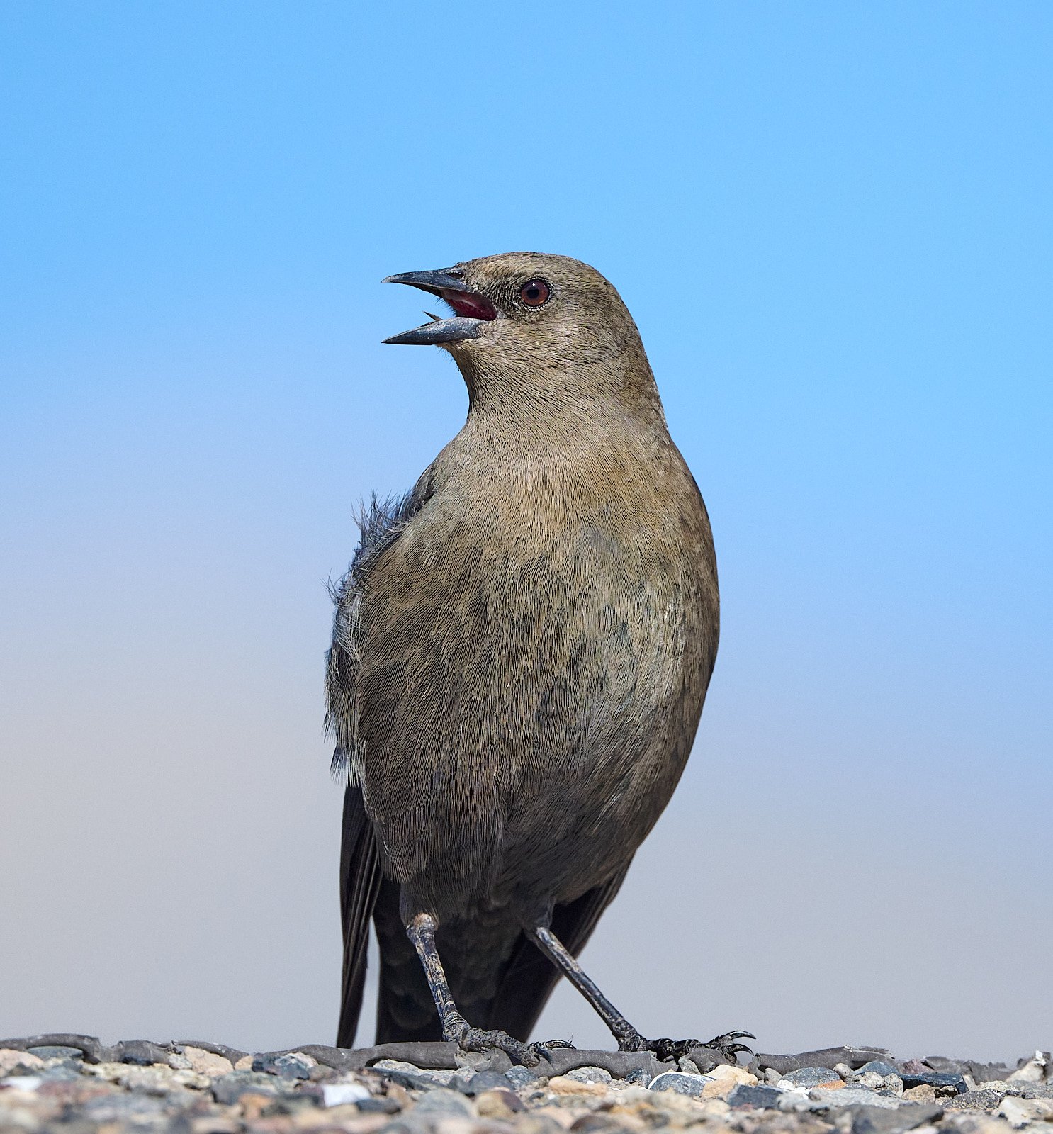
Compounding any consideration of direct habitat impacts is fragmentation, which typically is associated with an increase in brood parasitism by Brown-headed Cowbird.
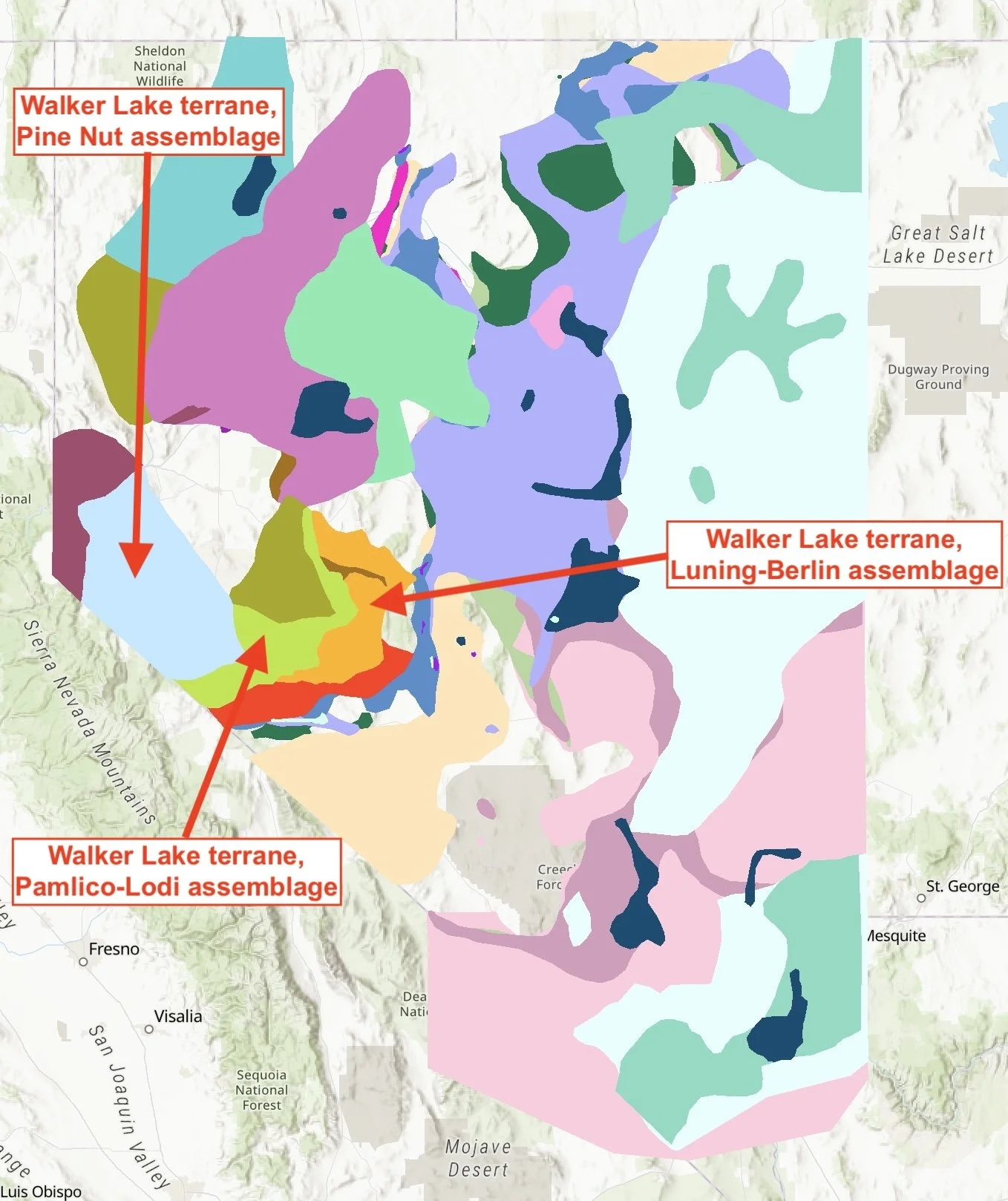
Simplified map showing Nevada’s accreted terranes.
Adding Continental Landmass
In the middle Paleozoic time, when tectonic forces resumed subduction of along the western edge of ancient North America, volcanic islands, carbonate reefs, and microcontinents were crushed into the continental margin. These masses of exotic rock are called accreted terranes. They are dissimilar from adjacent rock and are separated from bordering rock by prominent faults.
Plate convergence continued for 250 million years and dozens of terranes were accreted, thereby extending the ancient North American landmass westward. Most of the rock that makes up the western portion of Nevada is a complex geological mosaic consisting of numerous terranes overlain by younger sedimentary and volcanic rock and intruded by igneous rocks. Reading this landscape is not for beginners!
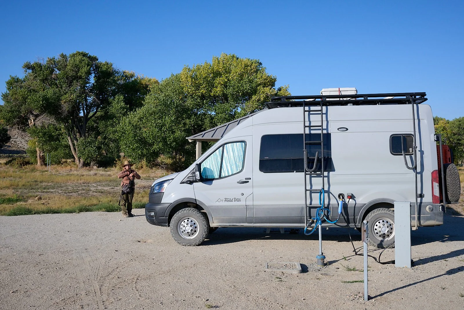
The easy life - hookup to power and water. Hot showers nearby!
Our camp in the East Walker River SRA lies within the Walker Lake terrane. About 250 million years ago, the Sonomia superterrane arrived. It is thought to have been an oceanic island arc that was composed of several different packages of rock that had different origins – an amalgamated terrane. These packages included the Walker Lake terrane which contains sedimentary and metavolcanic rocks.
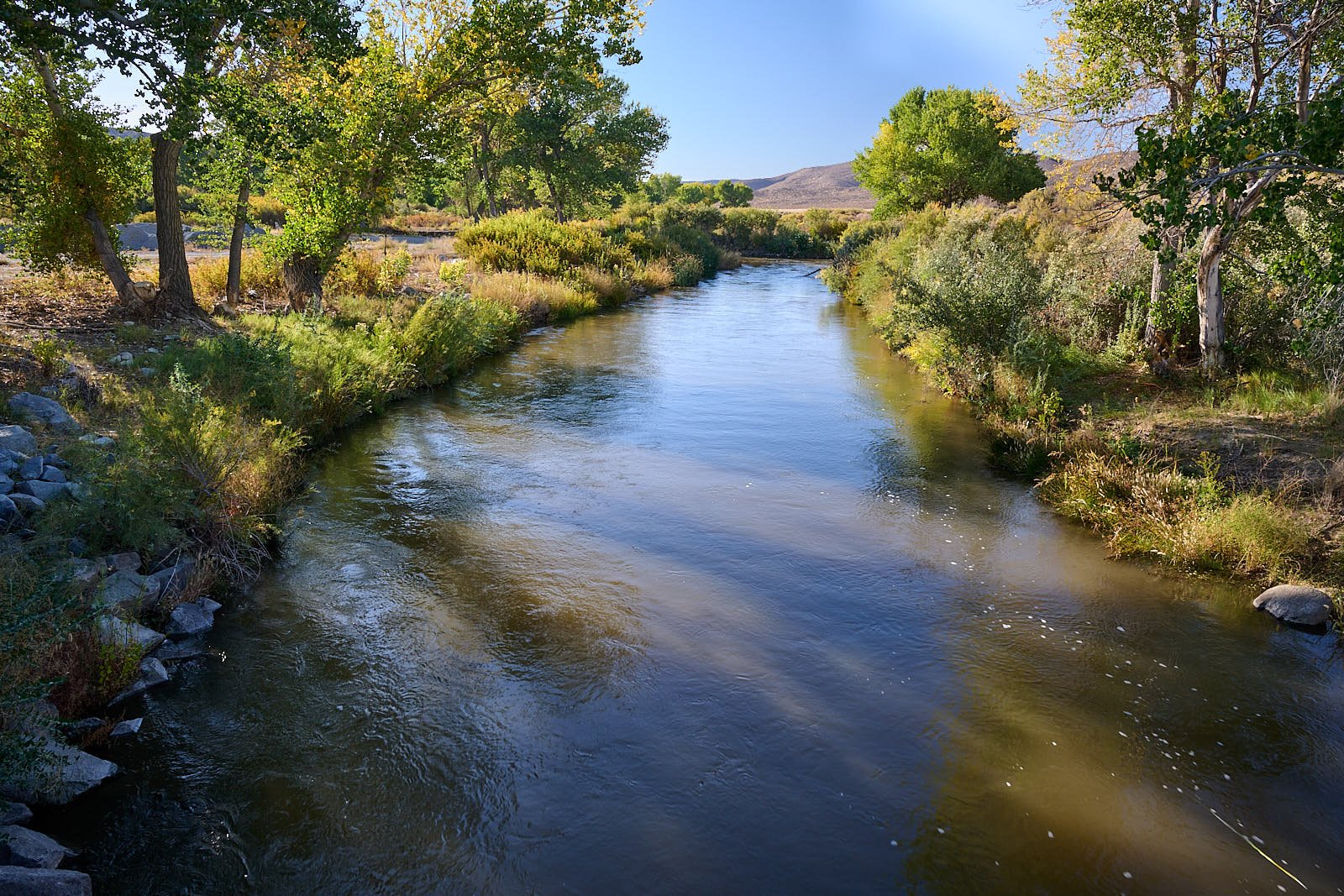
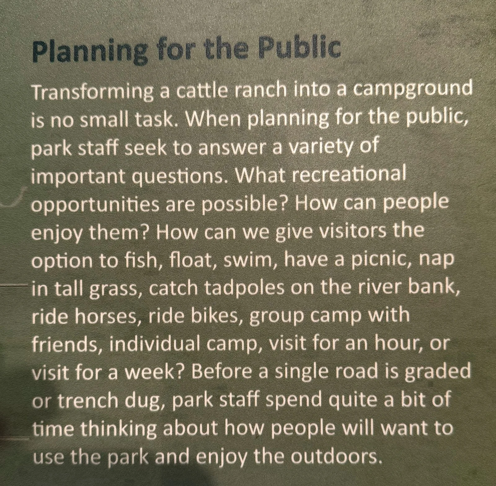
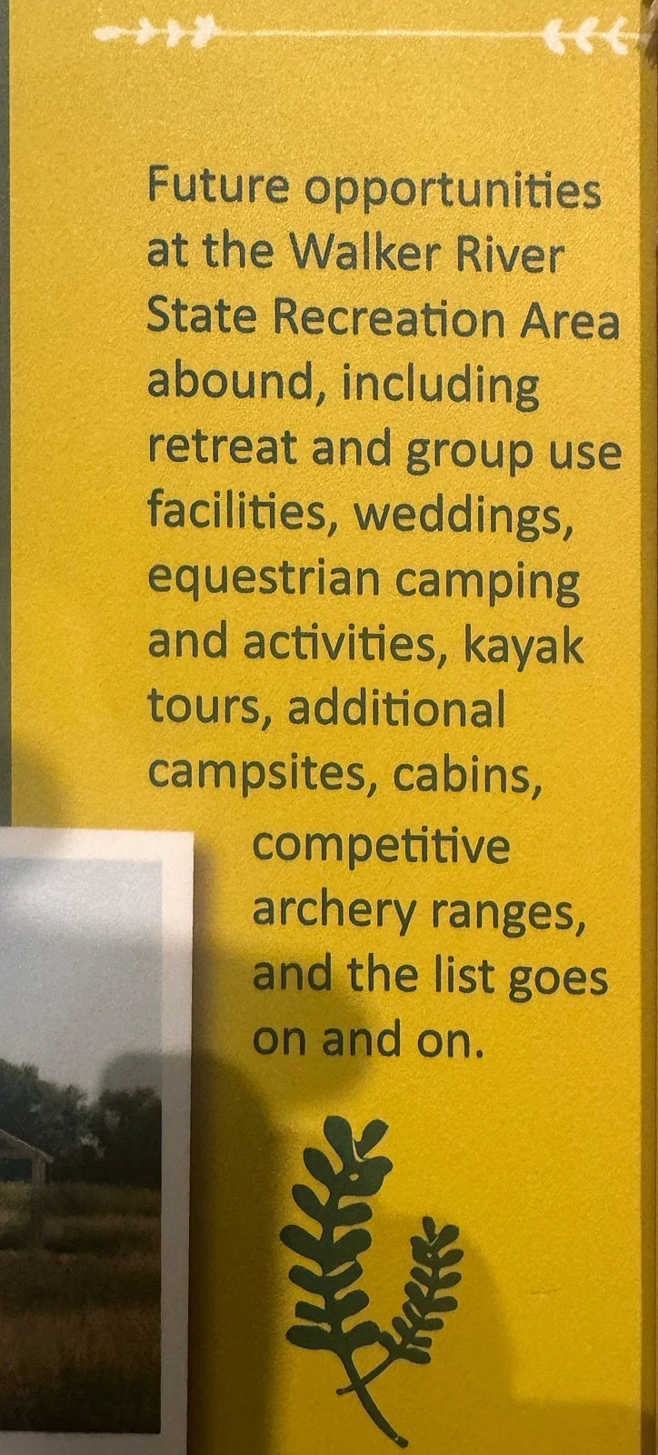
The Walker Basin Conservancy donated more than 12,000 acres of land and nearly 30 miles of the East Walker River to the State of Nevada to increase public access and conserve natural resources. The park opened in September 2018 and some sections are still under development.
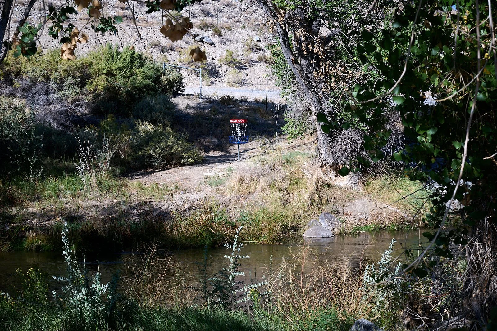
I was intrigued by the notion of designing a multi-use park from scratch. And indeed, the visitor center had a display about this. There have been some hiccups along the way; flooding wiped out nearly half of the frisbee golf course.

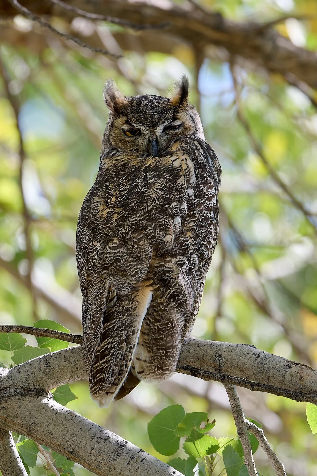
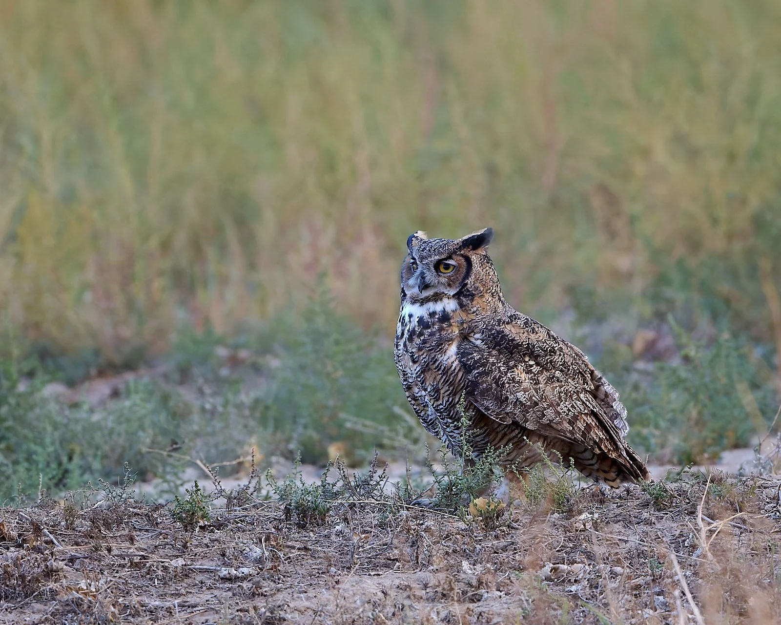
Great Horned Owl
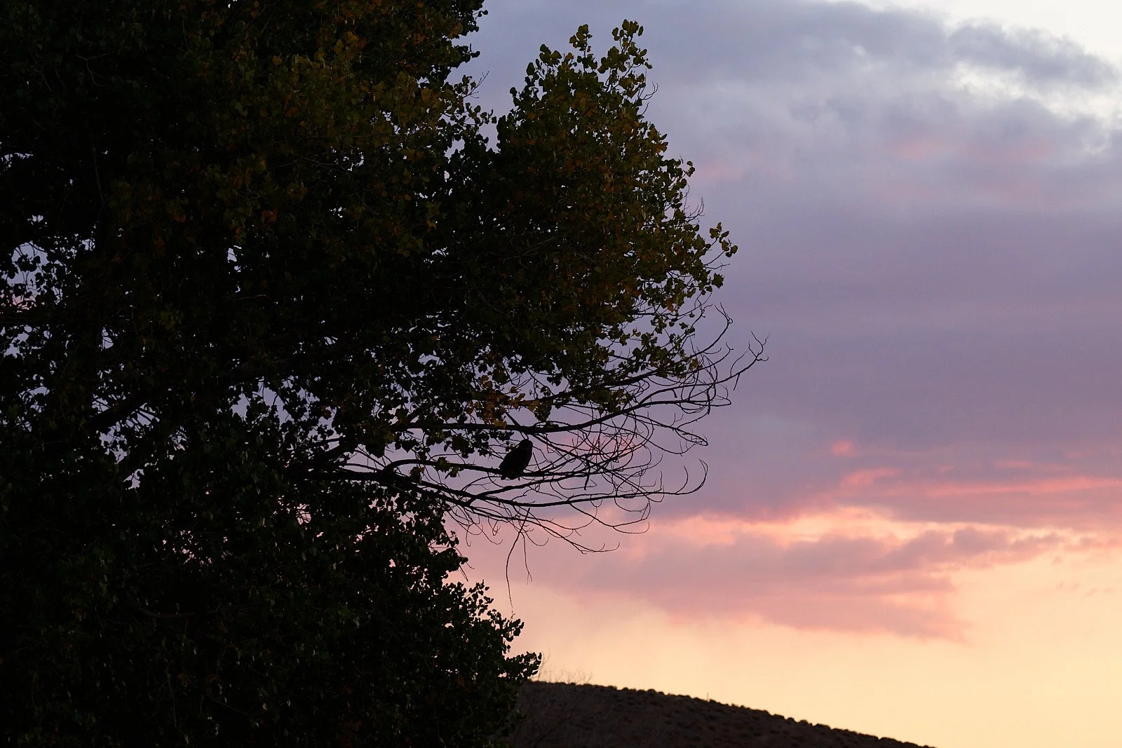
A pair of Great Horned Owls frequented the riverine cottonwood trees, hooting to each other at sunset.
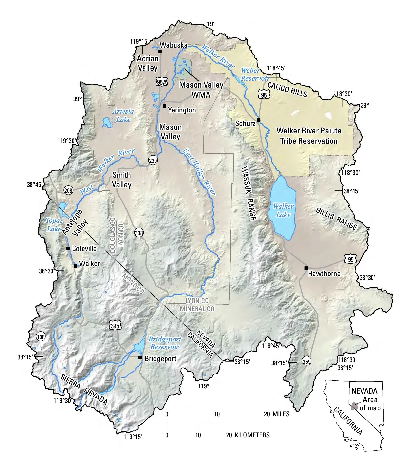
Walker River watershed
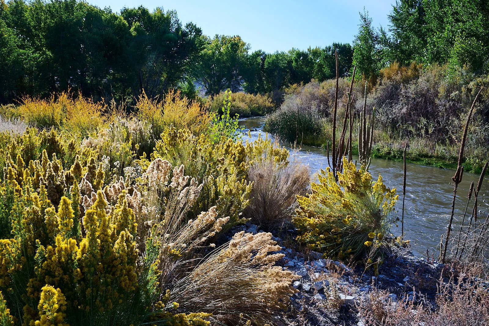
The Walker River illustrates the Great Basin’s internal drainage. The river is sustained year-round by high Sierra’s snowpack. The West Fork flows to Topaz Lake, the East Fork to Bridgeport Reservoir. The two forks unite in Mason Valley, head northward past Yerington before coursing south to terminate in alkali Walker Lake, which is about 400 feet lower than it was 15,000 years ago.
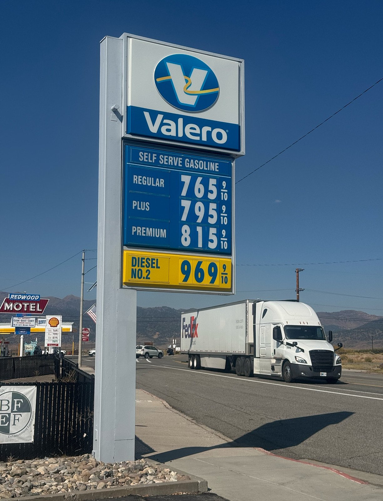
Another reason to vote.
Have fun. Make the most of what you’ve got.